Grass Wood
Wood, Forest in Yorkshire Craven
England
Grass Wood
Grass Wood is a picturesque woodland located in Wharfedale, Yorkshire, England. Covering an area of approximately 60 acres, it is a designated Site of Special Scientific Interest (SSSI) and a Local Nature Reserve. The wood is situated near the village of Grassington and is part of the larger Nidderdale Area of Outstanding Natural Beauty.
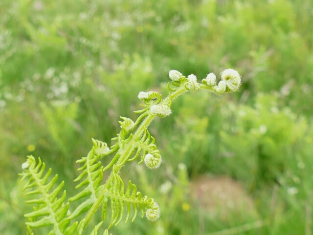
The woodland is known for its diverse range of plant and animal species, making it a haven for nature enthusiasts and wildlife lovers. It primarily consists of mixed broadleaf trees, including oak, birch, ash, and beech, which create a stunning canopy and provide a habitat for a wide variety of woodland birds, mammals, and insects.
The forest floor is adorned with a carpet of wildflowers, including bluebells, wood anemones, and primroses, adding to the natural beauty of the area. Additionally, Grass Wood boasts several small streams and waterfalls, which enhance the tranquility of the surroundings and attract various aquatic species.
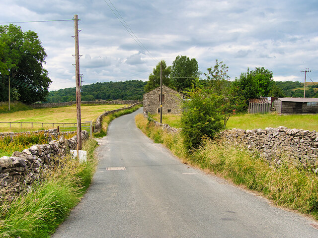
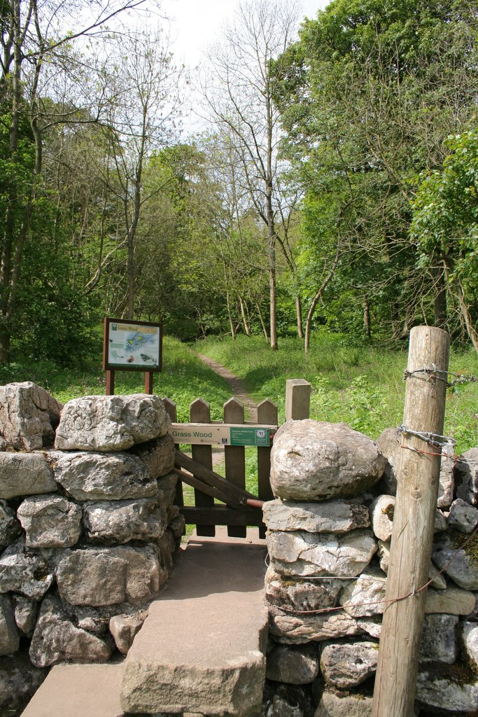
The wood offers numerous walking trails and paths, allowing visitors to explore its beauty and enjoy the peaceful ambiance. It is a popular spot for hiking, birdwatching, and nature photography. The Yorkshire Dales National Park Authority manages the site, ensuring its conservation and protection.
Grass Wood is not only a place of natural beauty but also holds historical significance. It features ancient remains, including prehistoric burial mounds and evidence of medieval charcoal production, providing a glimpse into the area's rich history.
In summary, Grass Wood is a captivating woodland in Yorkshire, offering a diverse range of flora and fauna, picturesque scenery, and a peaceful environment for visitors to enjoy and appreciate nature's wonders.
If you have any feedback on the listing, please let us know in the comments section below.
Grass Wood Images
Images are sourced within 2km of 54.084477/-2.0192863 or Grid Reference SD9865. Thanks to Geograph Open Source API. All images are credited.
![A walk from Grassington to Kelber and return [64] A restored lime kiln alongside the path. See also <a href="https://www.geograph.org.uk/photo/7037898">SD9967 : A walk from Grassington to Kelber and return [65]</a>.
After leaving the town, the walk crosses Grassington Moor via Bare House to Bycliffe Road. The road is followed past Kelber Gate towards Scot Gate Lane. The route then follows the long distance Dales Way back to Grassington. About 6½ miles.](https://s1.geograph.org.uk/geophotos/07/03/78/7037897_a554e4c3.jpg)
![A walk from Grassington to Kelber and return [65] A plaque near the restored lime kiln seen at <a href="https://www.geograph.org.uk/photo/7037897">SD9967 : A walk from Grassington to Kelber and return [64]</a>.
After leaving the town, the walk crosses Grassington Moor via Bare House to Bycliffe Road. The road is followed past Kelber Gate towards Scot Gate Lane. The route then follows the long distance Dales Way back to Grassington. About 6½ miles.](https://s2.geograph.org.uk/geophotos/07/03/78/7037898_1236a02c.jpg)
![A walk from Grassington to Kelber and return [66] The path towards Grassington continues between rock outcrops.
After leaving the town, the walk crosses Grassington Moor via Bare House to Bycliffe Road. The road is followed past Kelber Gate towards Scot Gate Lane. The route then follows the long distance Dales Way back to Grassington. About 6½ miles.](https://s3.geograph.org.uk/geophotos/07/03/78/7037899_94978fbb.jpg)
![A walk from Grassington to Kelber and return [67] Another high gated stile with a red navigation marker.
After leaving the town, the walk crosses Grassington Moor via Bare House to Bycliffe Road. The road is followed past Kelber Gate towards Scot Gate Lane. The route then follows the long distance Dales Way back to Grassington. About 6½ miles.](https://s0.geograph.org.uk/geophotos/07/03/79/7037900_4abf18eb.jpg)
![A walk from Grassington to Kelber and return [68] The path, part of the long distance Dales Way, continues towards Grassington through an area of old settlements with hut circles.
After leaving the town, the walk crosses Grassington Moor via Bare House to Bycliffe Road. The road is followed past Kelber Gate towards Scot Gate Lane. The route then follows the long distance Dales Way back to Grassington. About 6½ miles.](https://s1.geograph.org.uk/geophotos/07/03/79/7037901_9b1e422f.jpg)
![A walk from Grassington to Kelber and return [69] The path to Grassington passes through this rocky area which was an old settlement.
After leaving the town, the walk crosses Grassington Moor via Bare House to Bycliffe Road. The road is followed past Kelber Gate towards Scot Gate Lane. The route then follows the long distance Dales Way back to Grassington. About 6½ miles.](https://s2.geograph.org.uk/geophotos/07/03/79/7037902_3c00fd0b.jpg)
![A walk from Grassington to Kelber and return [70] The path continues towards Grassington.
After leaving the town, the walk crosses Grassington Moor via Bare House to Bycliffe Road. The road is followed past Kelber Gate towards Scot Gate Lane. The route then follows the long distance Dales Way back to Grassington. About 6½ miles.](https://s3.geograph.org.uk/geophotos/07/03/79/7037903_9f533b6c.jpg)
![A walk from Grassington to Kelber and return [71] The path, part of the long distance Dales Way, continues towards Grassington, now seen in the distance.
After leaving the town, the walk crosses Grassington Moor via Bare House to Bycliffe Road. The road is followed past Kelber Gate towards Scot Gate Lane. The route then follows the long distance Dales Way back to Grassington. About 6½ miles.](https://s0.geograph.org.uk/geophotos/07/03/79/7037904_57235924.jpg)
![Grassington features [2] Grassington Bridge, also known as Linton Bridge, carries Station Road, B6265, over the River Wharfe. With 17th century origins, the bridge was widened in 1780 and the road surface substantially rebuilt in 1824. With 4 segmental arches in squared, coursed gritstone with some ashlar. Listed, grade II, with details at: <span class="nowrap"><a title="https://historicengland.org.uk/listing/the-list/list-entry/1316846" rel="nofollow ugc noopener" href="https://historicengland.org.uk/listing/the-list/list-entry/1316846">Link</a><img style="margin-left:2px;" alt="External link" title="External link - shift click to open in new window" src="https://s1.geograph.org.uk/img/external.png" width="10" height="10"/></span>
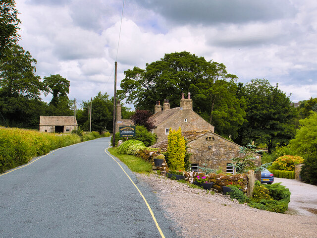
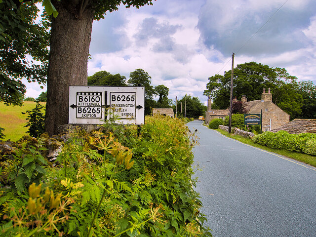
Grassington is a small market town, receiving its charter in 1282. The town is located in Wharfedale in the Yorkshire Dales National Park, some 7½ miles north of Skipton. Lead mining brought prosperity to the town in the 18th and 19th centuries. The town now attracts many tourists, especially walkers, with some excellent routes on the surrounding fells.](https://s2.geograph.org.uk/geophotos/07/03/85/7038550_b7091aeb.jpg)
Grass Wood is located at Grid Ref: SD9865 (Lat: 54.084477, Lng: -2.0192863)
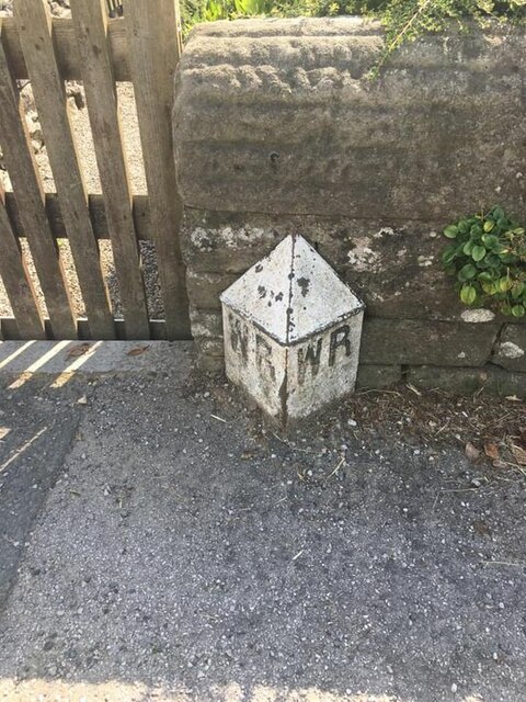
Division: West Riding
Administrative County: North Yorkshire
District: Craven
Police Authority: North Yorkshire
What 3 Words
///tape.sprayed.twinkled. Near Grassington, North Yorkshire
Nearby Locations
Related Wikis
Grass Wood, Wharfedale
Grass Wood is an ancient woodland of 88 hectares (220 acres) in Wharfedale, North Yorkshire, England, that has an exceptional ground flora of woodland...

Upper Wharfedale School
Upper Wharfedale School is a coeducational secondary school located in Threshfield, North Yorkshire, England. The school is named after Wharfedale, one...
Grassington & Threshfield railway station
Grassington & Threshfield railway station (or Threshfield station) was a railway station that served the town of Grassington and village of Threshfield...
Threshfield
Threshfield is a small village and civil parish in the Craven district of North Yorkshire, England with a population of 980 residents, reducing to 968...

Grassington
Grassington is a village and civil parish in North Yorkshire, England. The population of the parish at the 2011 Census was 1,126. Historically part of...

Conistone
Conistone is a small village in the Craven district of North Yorkshire, England. It lies 3 miles (5 km) north of Grassington, 3 miles (5 km) south of Kettlewell...

Conistone with Kilnsey
Conistone with Kilnsey is a civil parish in Wharfedale in the district of Craven, North Yorkshire, England. It contains the villages of Kilnsey and Conistone...

Linton Falls Hydro
Linton Falls Hydro is a hydroelectric generating power station located on the Linton Falls Weir of the River Wharfe, near Grassington, North Yorkshire...
Nearby Amenities
Located within 500m of 54.084477,-2.0192863Have you been to Grass Wood?
Leave your review of Grass Wood below (or comments, questions and feedback).