Whin Covert
Wood, Forest in Northumberland
England
Whin Covert
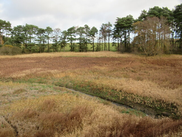
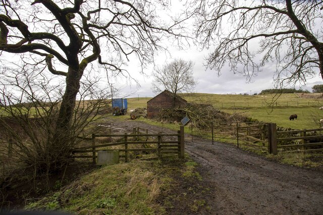
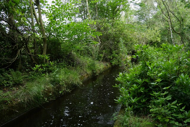
Whin Covert, located in Northumberland, is a dense wood or forest area known for its scenic beauty and rich biodiversity. Spanning approximately 200 acres, it is situated in the northern part of the county, near the village of Wood.
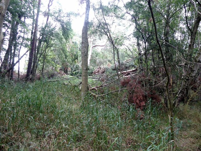
The woodland of Whin Covert is predominantly composed of ancient broadleaf trees, including oak, beech, and ash, which provide a lush and verdant canopy. The forest floor is covered with a diverse range of flora, such as bluebells, wild garlic, and ferns, creating a vibrant and colorful landscape during the spring and summer months.
This woodland is home to a wide variety of fauna, including various bird species, small mammals, and insects. It serves as a vital habitat for woodland birds like the great spotted woodpecker, tawny owl, and tree creeper. Additionally, mammals such as red squirrels, badgers, and foxes can be spotted within the covert.
Whin Covert is a popular destination for nature enthusiasts, hikers, and photographers who wish to explore its natural beauty and capture its stunning scenery. It offers several well-maintained walking trails, allowing visitors to immerse themselves in the tranquility of the forest while observing its wildlife.
Managed by local conservation organizations, Whin Covert is protected to ensure its preservation and sustainability. Efforts are made to maintain its natural balance, prevent invasive species from overtaking the native flora, and promote responsible recreational activities.
Overall, Whin Covert in Northumberland is a picturesque woodland area that showcases the beauty of nature and provides a sanctuary for a diverse range of plant and animal species.
If you have any feedback on the listing, please let us know in the comments section below.
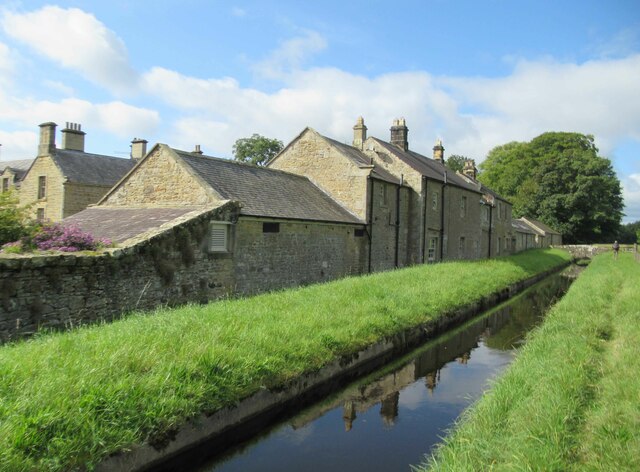
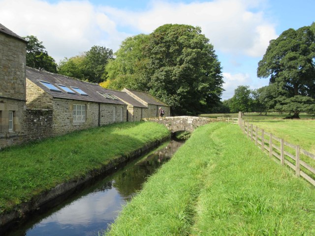
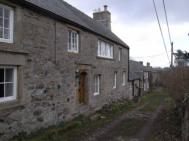
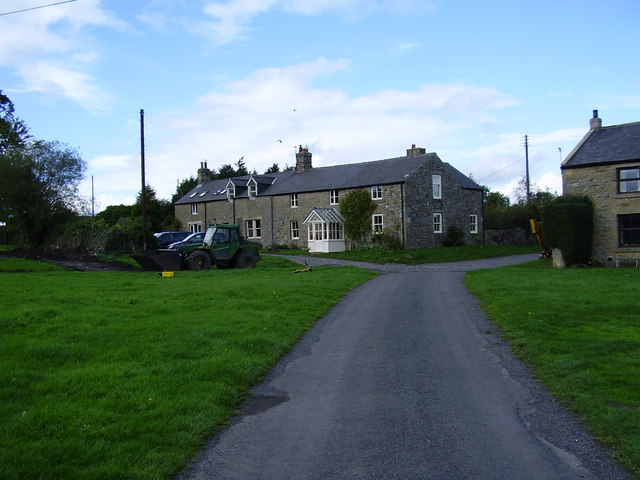
Whin Covert Images
Images are sourced within 2km of 55.090995/-2.0241925 or Grid Reference NY9877. Thanks to Geograph Open Source API. All images are credited.
Whin Covert is located at Grid Ref: NY9877 (Lat: 55.090995, Lng: -2.0241925)
Unitary Authority: Northumberland
Police Authority: Northumbria
What 3 Words
///helpful.mash.birdcage. Near Birtley, Northumberland
Nearby Locations
Related Wikis
Bavington
Bavington is a civil parish in Northumberland, England. The parish includes the villages of Great Bavington, Little Bavington and Thockrington. According...

Hallington, Northumberland
Hallington is a hamlet and former civil parish about 9 miles from Hexham, now in the parish of Whittington, in the county of Northumberland, England. In...

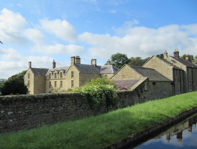
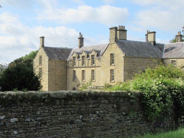
Bavington Hall
Bavington Hall is a 17th-century privately owned country house at Little Bavington in Northumberland. It is a Grade II* listed building.A tower house...

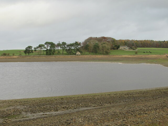
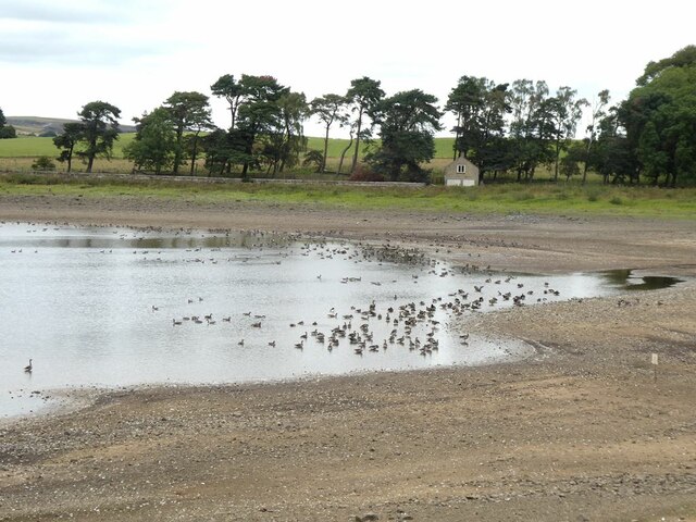
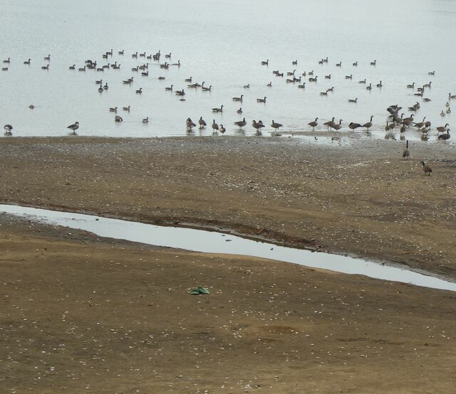
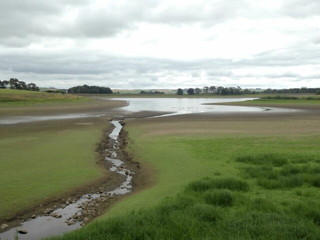
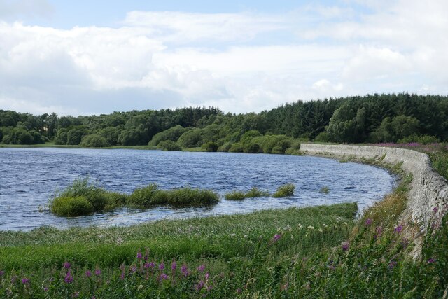
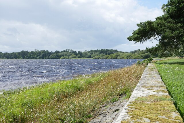
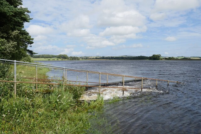
Hallington Reservoirs
Hallington Reservoirs are located near the small village of Colwell, Northumberland, England on the B6342 road off the A68 road, and 7 miles (11 km) north...
Kirkheaton, Northumberland
Kirkheaton (English: ) is a village and former civil parish, now in the parish of Capheaton, in the county of Northumberland, England. The village lies...

Bavington Crags
Bavington Crags is a Site of Special Scientific Interest (SSSI) in north Northumberland, England. The site is an outcropping of the Whin Sill which gives...
Colwell, Northumberland
Colwell is a hamlet in Northumberland, England. It is about 12 miles (19 km) to the north of Hexham. == Governance == Colwell is in the parliamentary constituency...

Thockrington
Thockrington is a village and former civil parish, now in the parish of Bavington, in Northumberland, England. The village lies about 10 miles (16 km)...
Nearby Amenities
Located within 500m of 55.090995,-2.0241925Have you been to Whin Covert?
Leave your review of Whin Covert below (or comments, questions and feedback).