Woodbridge Copse

Wood, Forest in Wiltshire

England

Woodbridge Copse

Old Milestone, Claverton, B4042 On the South verge nestling in the hedge. Plate on backwards, possibly from a WW2 edict to disfigure destinations, and confuse infiltrators and escapees.

Inscription (would be): Swindon / 12 / Miles / Malmesb,y / 2 / Miles

Milestone Society National ID: WI_SNMY13
Old Milestone, Claverton, B4042 Credit: Tom Blanden

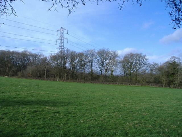
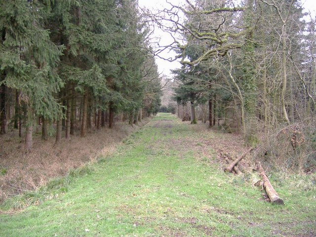
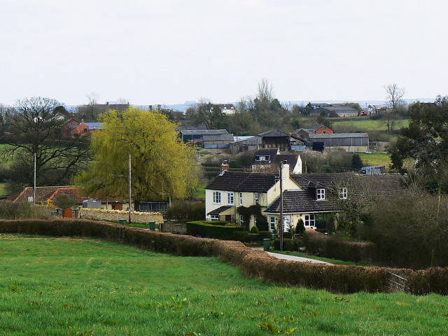
Woodbridge Copse is a picturesque woodland located in the county of Wiltshire, England. Covering an area of approximately 10 hectares, this enchanting forest is situated near the village of Woodbridge, offering visitors a tranquil and immersive experience in nature.

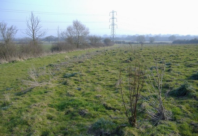
The copse is predominantly composed of deciduous trees, including oak, beech, and ash, creating a diverse and vibrant ecosystem. The dense foliage provides a shady canopy, allowing for a cool and refreshing environment, especially during the summer months. The forest floor is blanketed with an array of wildflowers, adding bursts of color and attracting various insect species.

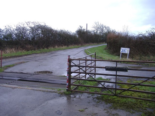
Woodbridge Copse boasts several well-maintained walking trails, allowing visitors to explore its natural beauty at their own pace. These paths meander through the woodland, taking visitors along babbling brooks and past charming clearings. Nature enthusiasts can revel in the opportunity to observe an abundance of wildlife, including deer, rabbits, and a myriad of bird species such as woodpeckers and owls.

The copse also holds historical significance, with remnants of ancient settlements and archaeological sites scattered throughout. These artifacts offer a glimpse into the area's past, providing an added layer of interest for history enthusiasts.

Woodbridge Copse offers a peaceful retreat for both locals and tourists alike, providing a serene and idyllic setting for leisurely walks, picnics, and nature photography. With its natural beauty, diverse flora and fauna, and historical significance, Woodbridge Copse truly captures the essence of Wiltshire's countryside.

If you have any feedback on the listing, please let us know in the comments section below.

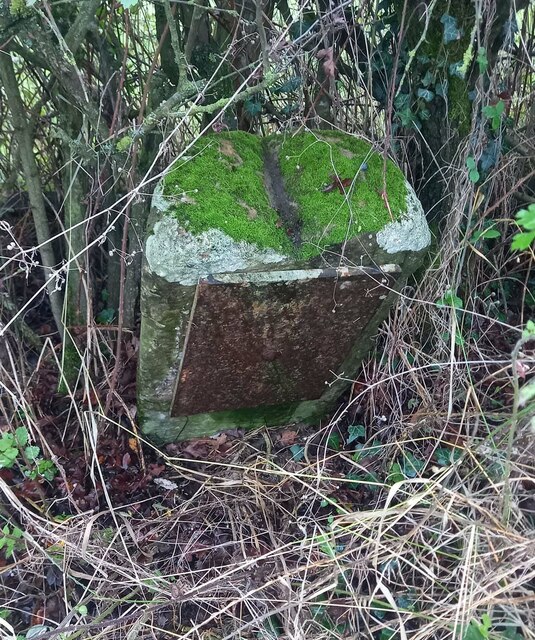
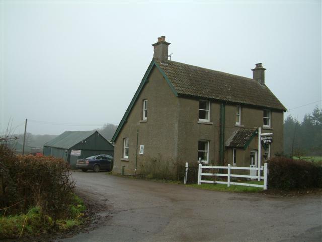
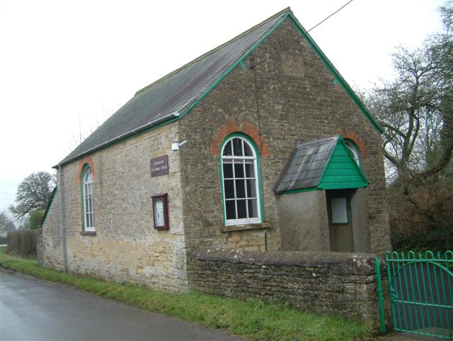
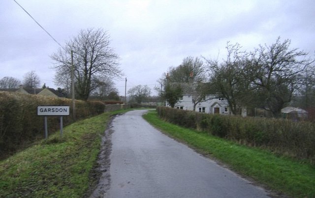
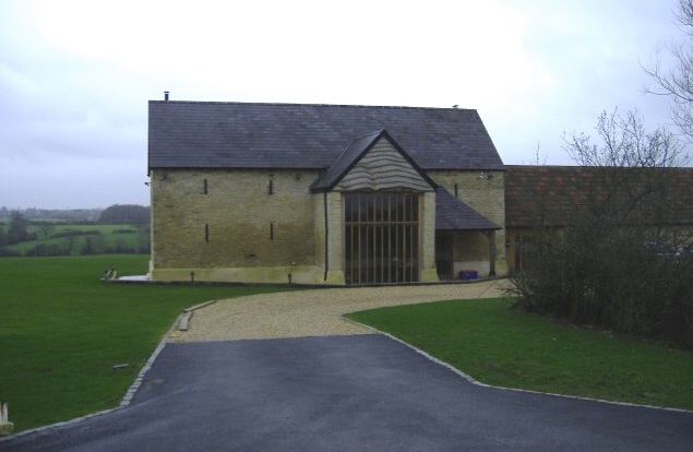
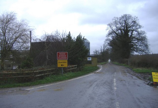
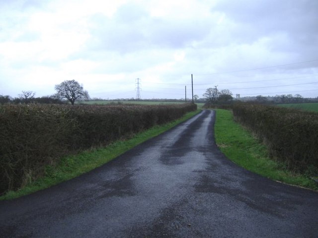
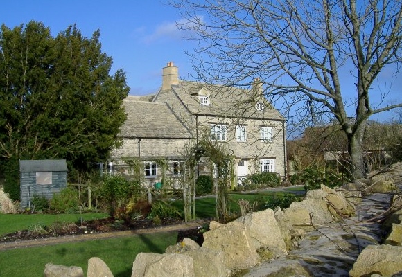
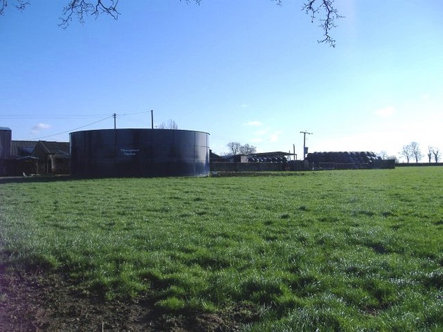
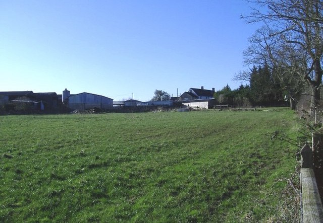
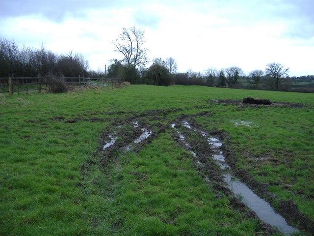
Woodbridge Copse Images

Images are sourced within 2km of 51.576391/-2.022362 or Grid Reference ST9886. Thanks to Geograph Open Source API. All images are credited.

Old Milestone, Claverton, B4042 On the South verge nestling in the hedge. Plate on backwards, possibly from a WW2 edict to disfigure destinations, and confuse infiltrators and escapees.

Inscription (would be): Swindon / 12 / Miles / Malmesb,y / 2 / Miles

Milestone Society National ID: WI_SNMY13
Old Milestone, Claverton, B4042
On the South verge nestling in the hedge. Plate on backwards, possibly from a WW2 edict to disfigure destinations, and confuse infiltrators and escapees. Inscription (would be): Swindon / 12 / Miles / Malmesb,y / 2 / Miles Milestone Society National ID: WI_SNMY13
New House Farm
New House Farm
Cleverton Chapel
Cleverton Chapel
The road from Braydon A cottage with its orchard stand guard at the entrance to this hamlet.
The road from Braydon
A cottage with its orchard stand guard at the entrance to this hamlet.
Barn conversion at Park farm
Long-term road closure This minor road near Braydon has been closed for over five years. The road runs along the top of a lake embankment, which had deteriorated badly. Vital work is being undertaken to strengthen the embankment which holds back Braydon Pond.
Long-term road closure
This minor road near Braydon has been closed for over five years. The road runs along the top of a lake embankment, which had deteriorated badly. Vital work is being undertaken to strengthen the embankment which holds back Braydon Pond.
The road to Turk's farm A recently metalled farm road.
The road to Turk's farm
A recently metalled farm road.
Manor farm, Cleverton A recently refurbished farmhouse, to the north east of the hamlet.
Manor farm, Cleverton
A recently refurbished farmhouse, to the north east of the hamlet.
Woodbridge copse The National grid cuts through the North Wiltshire countryside.
Woodbridge copse
The National grid cuts through the North Wiltshire countryside.
Horsells farm An appropriately named farm, in the centre of prime foxhunting territory.
Horsells farm
An appropriately named farm, in the centre of prime foxhunting territory.
Cattle at Horsells farm Showing a keen interest in photography.
Cattle at Horsells farm
Showing a keen interest in photography.
West End farm Can be seen, unsurprisingly, looking in a westerly direction, at the end of the farm lane.....
West End farm
Can be seen, unsurprisingly, looking in a westerly direction, at the end of the farm lane.....
Clitchbury farm The working part of the farm, including a huge slurry tank.
Clitchbury farm
The working part of the farm, including a huge slurry tank.
Malthouse farm Located to the south of the B4042.
Malthouse farm
Located to the south of the B4042.
Braydon Wood Access track / firebreak in this private wood.
Braydon Wood
Access track / firebreak in this private wood.
Winkworth farm Wet grassland, near Winkworth cottage.
Winkworth farm
Wet grassland, near Winkworth cottage.
Cattle grid At the entrance to Winkworth farm. This isolated farmhouse offers bed and breakfast.
Cattle grid
At the entrance to Winkworth farm. This isolated farmhouse offers bed and breakfast.
Pasture, near Malthouse farm, Brinkworth
Show me another place!

Woodbridge Copse is located at Grid Ref: ST9886 (Lat: 51.576391, Lng: -2.022362)

Unitary Authority: Wiltshire

Police Authority: Wiltshire

What 3 Words

///forge.lease.hedge. Near Charlton, Wiltshire

Nearby Locations

Woodbridge Copse

Related Wikis

Lea, Wiltshire

Lea is a village in Wiltshire, England, lying approximately 1.5 miles (2.4 km) east of Malmesbury. It is part of the civil parish of Lea and Cleverton...

Little Somerford

Little Somerford is a village and civil parish in Wiltshire, England, 3 miles (4.8 km) southeast of Malmesbury and 7.5 miles (12.1 km) northeast of Chippenham...

Little Somerford railway station

Little Somerford railway station served the village of Little Somerford, Wiltshire, England from 1903 to 1963. It was on the South Wales Main Line and...

Braydon Side

Braydon Side is a farming hamlet in north Wiltshire, England, in the parish of Brinkworth. It lies about 0.9 miles (1.4 km) north of Brinkworth village...

Related Videos

Wedding Vintage photo booth and Wedding disco at  @winkworthfarm  #weddingdj #weddingphotobooth

A brief video of our awesome wedding vintage photo booth and wedding disco setup at the awesome @winkworthfarm wedding ...

Nearby Amenities

Located within 500m of 51.576391,-2.022362
Power: tower
Source: Bing
Lat/Long: 51.580049/-2.0198466
Power: tower
Source: Bing
Lat/Long: 51.5762406/-2.0201067
Power: tower
Source: Bing
Lat/Long: 51.5733782/-2.0203669
The data included in this document is from www.openstreetmap.org. The data is made available under ODbL.

Have you been to Woodbridge Copse?

Leave your review of Woodbridge Copse below (or comments, questions and feedback).