Hill Coppice

Wood, Forest in Dorset

England

Hill Coppice

Path in Pribdean Wood Part of the RSPB Garston Wood nature reserve.
Path in Pribdean Wood Credit: David Martin

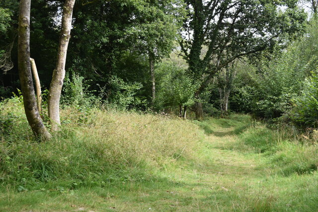
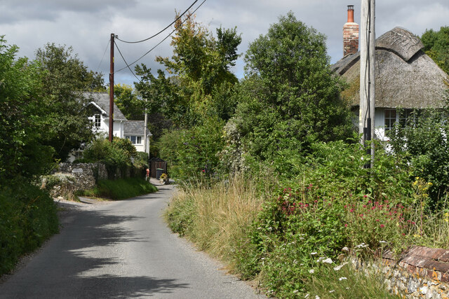
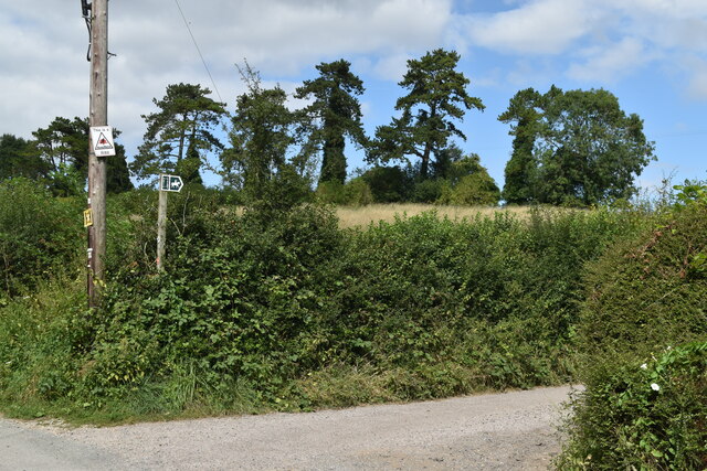
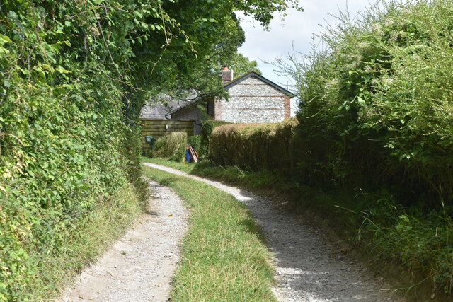
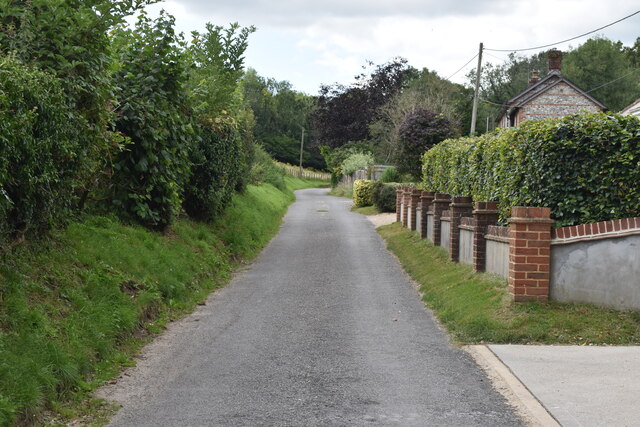
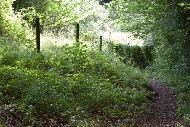
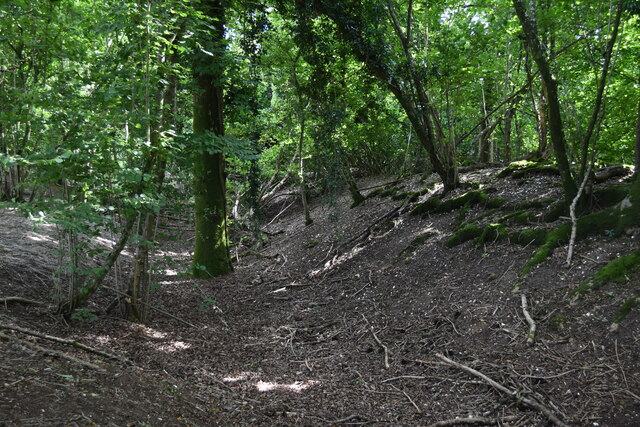
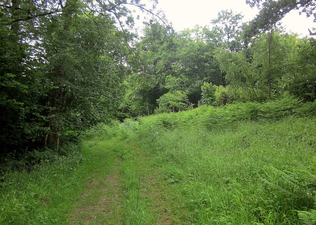
Hill Coppice is a picturesque woodland located in the county of Dorset, England. Covering an area of approximately 100 acres, it is nestled within the rolling hills and valleys of the region, offering visitors a tranquil and immersive experience in nature.

The wood is primarily composed of a mixture of deciduous and coniferous trees, including oak, beech, ash, and Scots pine. The diversity of tree species creates a rich and varied ecosystem, supporting a wide range of flora and fauna. Visitors to Hill Coppice can expect to encounter a vibrant display of wildflowers in the spring and summer months, including bluebells, primroses, and foxgloves.

Popular among nature enthusiasts, the woodland provides a network of well-maintained footpaths, allowing visitors to explore and discover its hidden treasures. The paths lead to various viewpoints, offering stunning vistas of the surrounding countryside and distant hills. Additionally, there is a designated picnic area where visitors can relax and enjoy a meal amidst the natural beauty of the wood.

Hill Coppice is also home to a diverse array of wildlife, including deer, badgers, and a variety of bird species such as woodpeckers, owls, and warblers. The woodland provides a vital habitat for these creatures, making it an important conservation area.

Overall, Hill Coppice in Dorset offers a peaceful and enchanting escape from the hustle and bustle of everyday life. Its stunning landscapes, diverse ecosystems, and abundant wildlife make it a must-visit destination for nature lovers and those seeking solace in the beauty of the natural world.

If you have any feedback on the listing, please let us know in the comments section below.

Hill Coppice Images

Images are sourced within 2km of 50.968139/-2.0229197 or Grid Reference ST9818. Thanks to Geograph Open Source API. All images are credited.

Path in Pribdean Wood Part of the RSPB Garston Wood nature reserve.
Path in Pribdean Wood
Part of the RSPB Garston Wood nature reserve.
View across bean field toward Garston House
View across fields near Upwood
Bend in Dean Lane
Bend in Dean Lane
Dean Lane at Deanland
Bridleway junction with Dean Lane
Path on track at New Town The track is a dead end which serves cottages on the upper edge of the settlement, but the footpath continues round the hillside.
Path on track at New Town
The track is a dead end which serves cottages on the upper edge of the settlement, but the footpath continues round the hillside.
Lane at New Town
Lane at New Town
Steep path down hillside at Shermel Gate
Pink house at Shermel Gate
Wrapped bales near Buck's Stile
Iron Age earthwork in Mistleberry Wood Ditch and earthwork of an Iron Age defended settlement, marked on the OS map as a "fort". For the designation, see <span class="nowrap"><a title="https://historicengland.org.uk/listing/the-list/list-entry/1002455" rel="nofollow ugc noopener" href="https://historicengland.org.uk/listing/the-list/list-entry/1002455">Link</a><img style="margin-left:2px;" alt="External link" title="External link - shift click to open in new window" src="https://s1.geograph.org.uk/img/external.png" width="10" height="10"/></span> ("Mistleberry" spelling taken from OS.)
Iron Age earthwork in Mistleberry Wood
Ditch and earthwork of an Iron Age defended settlement, marked on the OS map as a "fort". For the designation, see LinkExternal link ("Mistleberry" spelling taken from OS.)
Longcroft Road Footpath BSJO 19 follows this track through Long Croft in Chase Woods.
Longcroft Road
Footpath BSJO 19 follows this track through Long Croft in Chase Woods.
Chase Avenue Crossing Longcroft Road, which I am following. Chase Avenue is one of a pair of beech avenues created by Augustus Pitt Rivers as an extension to his Rushmore estate in the late C19.
Chase Avenue
Crossing Longcroft Road, which I am following. Chase Avenue is one of a pair of beech avenues created by Augustus Pitt Rivers as an extension to his Rushmore estate in the late C19.
Path, Great Shaftesbury Coppice Approaching the forest edge shown in <a href="https://www.geograph.org.uk/photo/4544846">ST9718 : Little Shaftesbury Coppice</a>.
Path, Great Shaftesbury Coppice
Approaching the forest edge shown in ST9718 : Little Shaftesbury Coppice.
Track by Great Shaftesbury Coppice Bridleway E52 23 runs alongside the edge of Chase Woods. This looks in the other direction from the same spot as <a href="https://www.geograph.org.uk/photo/4544846">ST9718 : Little Shaftesbury Coppice</a>.
Track by Great Shaftesbury Coppice
Bridleway E52 23 runs alongside the edge of Chase Woods. This looks in the other direction from the same spot as ST9718 : Little Shaftesbury Coppice.
Shire Rack The path follows the county boundary between Dorset and Wiltshire.
Shire Rack
The path follows the county boundary between Dorset and Wiltshire.
Shire Rack The path follows the county boundary between Dorset and Wiltshire, although since it is a Dorset path (E52 30) the boundary must be on the left side.
Shire Rack
The path follows the county boundary between Dorset and Wiltshire, although since it is a Dorset path (E52 30) the boundary must be on the left side.
Show me another place!

Hill Coppice is located at Grid Ref: ST9818 (Lat: 50.968139, Lng: -2.0229197)

Unitary Authority: Dorset

Police Authority: Dorset

What 3 Words

///goofy.lodge.sandpaper. Near Bower Chalke, Wiltshire

Related Wikis

Cranborne Chase and West Wiltshire Downs

Cranborne Chase and West Wiltshire Downs is an Area of Outstanding Natural Beauty (AONB) covering 379 square miles (980 km2) of Dorset, Hampshire, Somerset...

Cranborne Chase

Cranborne Chase (grid reference ST970180) is an area of central southern England, straddling the counties Dorset, Hampshire and Wiltshire. It is part of...

Sixpenny Handley

Sixpenny Handley or Handley is a village and former civil parish, now in the parish of Sixpenny Handley and Pentridge, in north east Dorset, England,...

Garston Wood

Garston Wood is a 34-hectare (84-acre) woodland nature reserve on the border between Dorset and Wiltshire in England, around 3 km (2 mi) north of the village...

Woodcutts Settlement

Woodcutts Settlement is an archaeological site of the late Iron Age and Romano-British period on Cranborne Chase, England. It is situated about 1 mile...

Woodcutts

Woodcutts is a hamlet within the parish of Sixpenny Handley and is located in the north of Dorset, near to the Wiltshire border. Originally named "Woodcotes...

Sixpenny Handley Hundred

Sixpenny Handley Hundred was a hundred in the county of Dorset, England. It originally consisted of two distinct hundreds: Sexpena and Hanlega. Sometime...

Wor Barrow

Wor Barrow is a Neolithic long barrow on Cranborne Chase, about 1 mile (1.6 km) east of Sixpenny Handley in Dorset, England. It is a scheduled monument...

Nearby Amenities

Located within 500m of 50.968139,-2.0229197
Drow Coppice
Place: locality
Lat/Long: 50.9697822/-2.0276392
Foxbury Lower Hedge
Place: locality
Lat/Long: 50.9709028/-2.0230232
Hill Coppice
Place: locality
Lat/Long: 50.9680661/-2.0213733
Great Lower Hedge
Place: locality
Lat/Long: 50.9707978/-2.0173877
New Town
Place: hamlet
Lat/Long: 50.9692218/-2.017814
The data included in this document is from www.openstreetmap.org. The data is made available under ODbL.

Have you been to Hill Coppice?

Leave your review of Hill Coppice below (or comments, questions and feedback).