Scott's Wood

Wood, Forest in Northumberland

England

Scott's Wood

Minor road, Hepple A road running towards Tosson on the south side of the Coquet.
Minor road, Hepple Credit: Richard Webb

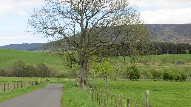
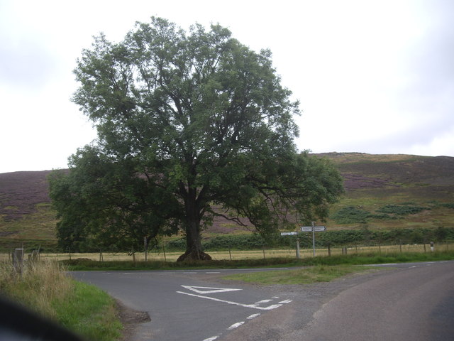
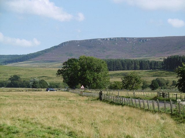
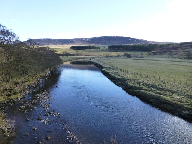
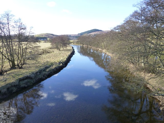
Scott's Wood is a charming forest located in the county of Northumberland in the north of England. Covering an area of approximately 100 acres, this woodland is a haven for nature enthusiasts and offers a tranquil escape from the hustle and bustle of city life.

The forest is dominated by a variety of tree species, including oak, beech, birch, and pine. These towering trees create a dense canopy, providing shade and shelter to a diverse range of flora and fauna. The forest floor is carpeted with a rich assortment of mosses, ferns, and wildflowers, adding to the area's natural beauty.

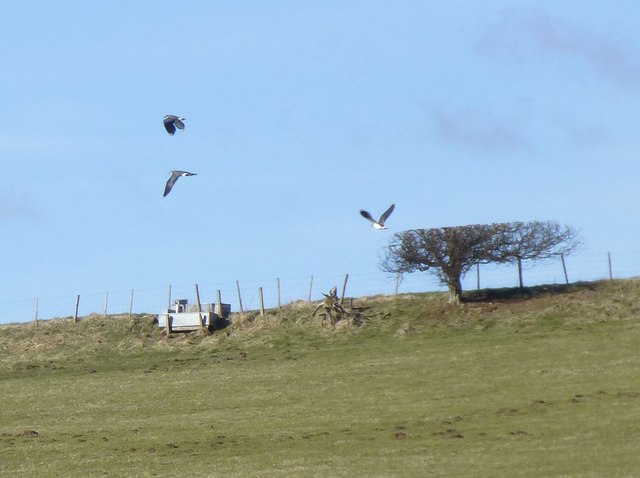
Scott's Wood is home to a vibrant ecosystem, with an abundance of wildlife. Visitors may spot squirrels darting through the treetops, while rabbits and hares scurry across the forest floor. Birds such as woodpeckers, owls, and thrushes can be heard singing their melodies, adding a delightful soundtrack to the woodland experience.

The forest offers several walking trails, allowing visitors to explore the beauty of Scott's Wood at their own pace. These well-maintained paths wind through the forest, offering glimpses of picturesque landscapes and hidden nooks. Some trails lead to a tranquil pond nestled within the woodland, providing a serene spot for reflection and relaxation.

Scott's Wood is a popular destination for nature lovers, families, and individuals seeking a peaceful retreat. It offers a wonderful opportunity to connect with nature, breathe in the fresh forest air, and immerse oneself in the beauty of Northumberland's woodlands.

If you have any feedback on the listing, please let us know in the comments section below.
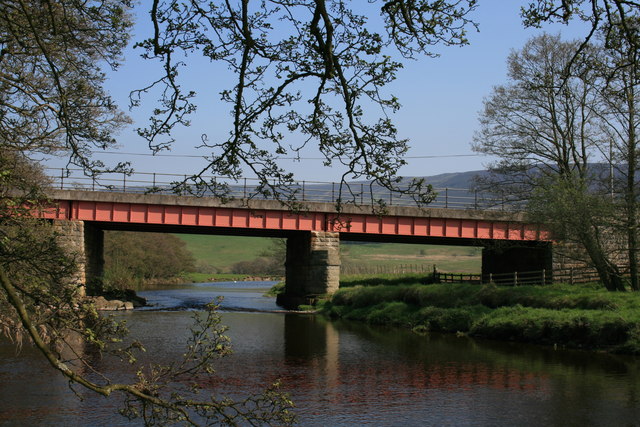
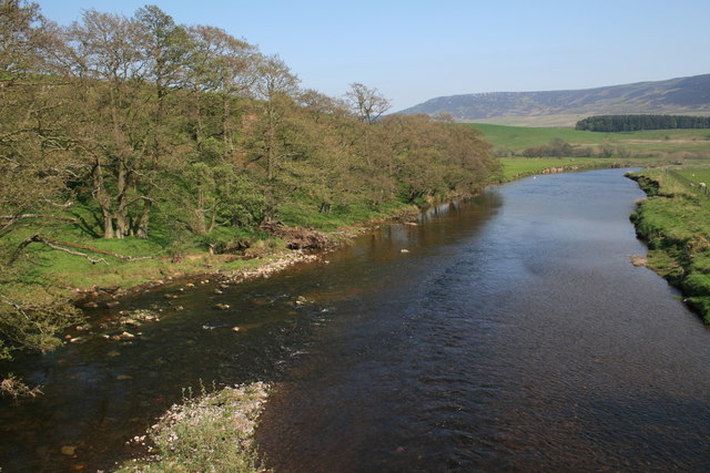
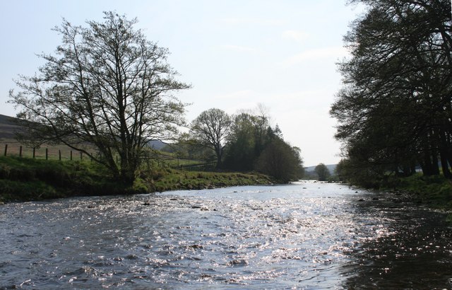
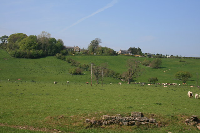
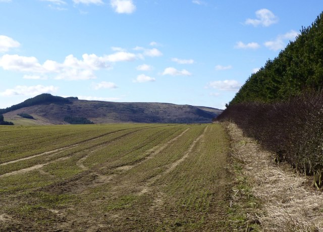
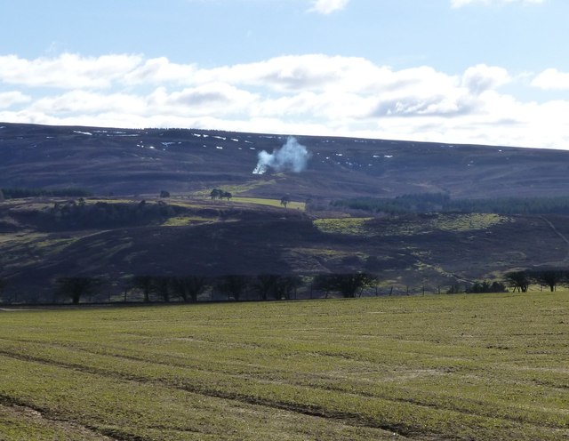
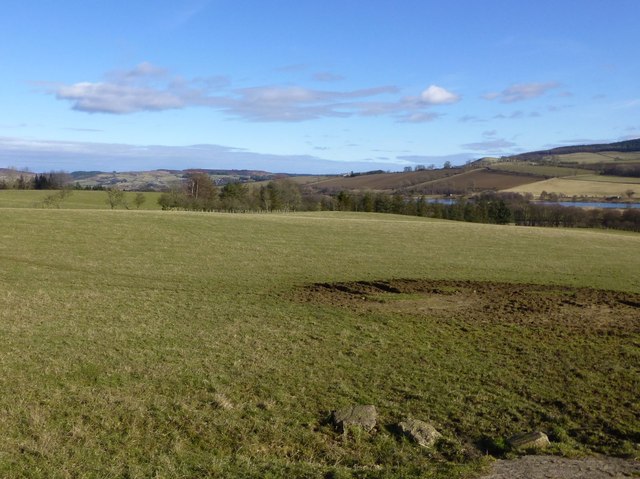
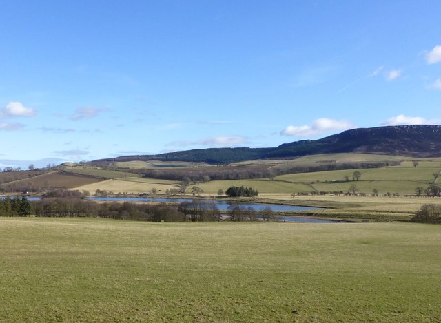
Scott's Wood Images

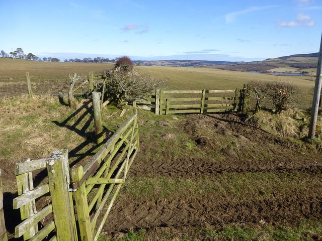
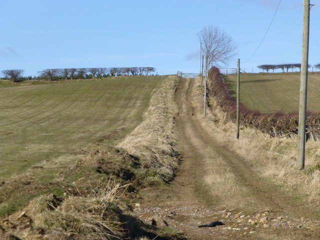
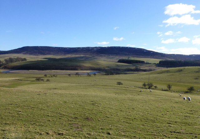
Images are sourced within 2km of 55.311228/-2.0289439 or Grid Reference NT9801. Thanks to Geograph Open Source API. All images are credited.

Minor road, Hepple A road running towards Tosson on the south side of the Coquet.
Minor road, Hepple
A road running towards Tosson on the south side of the Coquet.
This lone tree stands sentinel at a dogleg on the B6341 The B-road turns right to Otterburn, whilst a minor road strikes left to Tosson.
This lone tree stands sentinel at a dogleg on the B6341
The B-road turns right to Otterburn, whilst a minor road strikes left to Tosson.
B6341, Hepple A view towards Tosson Hill.
B6341, Hepple
A view towards Tosson Hill.
Direction Sign – Signpost Located on the south side of a T junction on the B6341 on Swindon Hill in Hepple parish. 2 arms, 1 missing, and lost finial. 

Milestone Society National ID: NB_NY9899
Direction Sign – Signpost
Located on the south side of a T junction on the B6341 on Swindon Hill in Hepple parish. 2 arms, 1 missing, and lost finial. Milestone Society National ID: NB_NY9899
Hepple Bridge The bridge was built in about 1874. The steel girders are a modern addition.
Hepple Bridge
The bridge was built in about 1874. The steel girders are a modern addition.
The River Coquet at Hepple Looking downstream from the bridge.
The River Coquet at Hepple
Looking downstream from the bridge.
The River Coquet upstream of Hepple
West Hepple
West Hepple
Hedge between forest and growing cereal The wooded hill, The Beacon, across the River Coquet in the distance.
Hedge between forest and growing cereal
The wooded hill, The Beacon, across the River Coquet in the distance.
Looking across growing cereal Muirburn just starting on Whitefield Shank leading up to Whitefield Hill across the River Coquet.
Looking across growing cereal
Muirburn just starting on Whitefield Shank leading up to Whitefield Hill across the River Coquet.
View across pasture To Caistron Nature Reserve beyond the River Coquet.
Simonside Hills on the right.
View across pasture
To Caistron Nature Reserve beyond the River Coquet. Simonside Hills on the right.
Pasture beside the River Coquet The Caistron Nature Reserve formed in the wet pits left after extraction of gravel lies across the river.
Simonside Hills in the distance.
Pasture beside the River Coquet
The Caistron Nature Reserve formed in the wet pits left after extraction of gravel lies across the river. Simonside Hills in the distance.
Hedges, gates and fences north of Hepple Across the pasture to the right is the Caistron Nature Reserve.
Hedges, gates and fences north of Hepple
Across the pasture to the right is the Caistron Nature Reserve.
Byway from Hepple to Wreighill
Lapwings take off Tumbling acrobatic fliers!
Lapwings take off
Tumbling acrobatic fliers!
The River Coquet  Viewed from Hepple village.
Simonside Hills beyond.
The River Coquet
Viewed from Hepple village. Simonside Hills beyond.
View downstream from bridge over River Coquet Near Hepple.
Simonside Hills in the distance.
View downstream from bridge over River Coquet
Near Hepple. Simonside Hills in the distance.
River Coquet at Hepple The Beacon or Dues Hill is the wooded hill in the distance.
River Coquet at Hepple
The Beacon or Dues Hill is the wooded hill in the distance.
Show me another place!

Scott's Wood is located at Grid Ref: NT9801 (Lat: 55.311228, Lng: -2.0289439)

Unitary Authority: Northumberland

Police Authority: Northumbria

What 3 Words

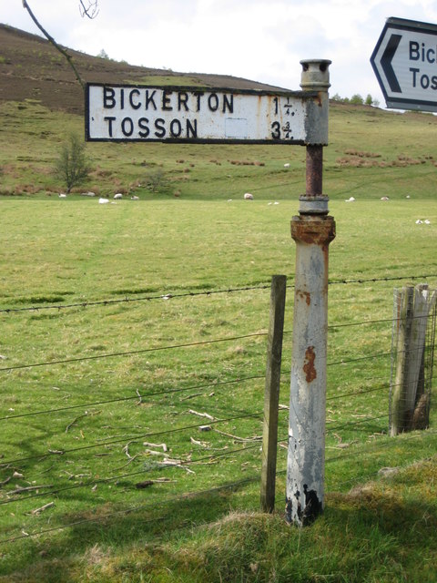
///refrained.warthog.contrived. Near Rothbury, Northumberland

Nearby Locations

Scott's Wood Kiln Wood

Related Wikis

Hepple

Hepple is a small village and parish in rural Northumberland, 4 miles (6.4 km) west of Rothbury, which provides most of its local services. It is on the...

Reivers Way

The Reivers Way is a long-distance footpath in Northumberland, passing through the Northumberland National Park and the Cheviot Hills. Totalling 242 kilometres...

Holystone, Northumberland

Holystone is a small village and former civil parish, now in the parish of Harbottle, in Northumberland, England. It lies on the edge of (and just within...

Sharperton

Sharperton is a small settlement and former civil parish, now in the parish of Harbottle, in Northumberland, England. Sharperton is the site of a deserted...

Nearby Amenities

Located within 500m of 55.311228,-2.0289439
Retchester
Place: locality
Lat/Long: 55.3071447/-2.0303174
Wreighill Pike
Ele: 219
Natural: peak
Place: locality
Lat/Long: 55.3137305/-2.0317858
Barrier: cattle_grid
Lat/Long: 55.31095/-2.0357234
The data included in this document is from www.openstreetmap.org. The data is made available under ODbL.

Have you been to Scott's Wood?

Leave your review of Scott's Wood below (or comments, questions and feedback).