Zannies Coppice

Wood, Forest in Dorset

England

Zannies Coppice

Farmland view northwest towards Abbeycroft Down In the left distance is the former Tarrant Rushton Airfield site, with a hangar just visible between the trees.
Farmland view northwest towards Abbeycroft Down Credit: David Martin

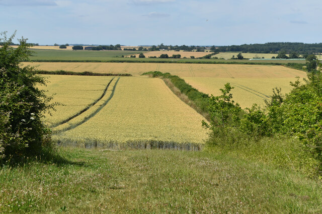
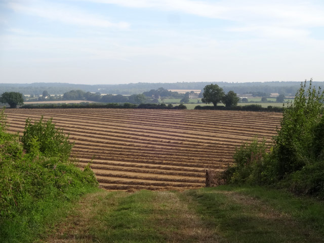
Located in the county of Dorset, Zannies Coppice is a picturesque woodland area renowned for its natural beauty and diverse ecosystem. This enchanting forest covers an area of approximately 50 acres and is situated in close proximity to the village of Abbotsbury.

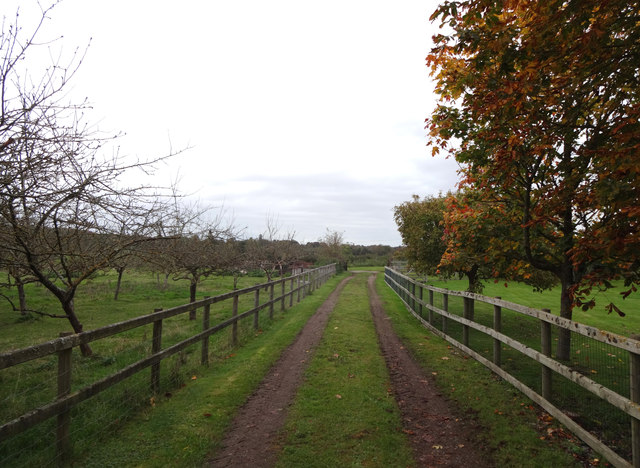
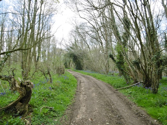
Zannies Coppice is characterized by its dense canopy of trees, which primarily consists of native species such as oak, ash, beech, and birch. These towering trees create a tranquil and peaceful atmosphere, making it a popular destination for nature enthusiasts and hikers alike.

The forest floor is adorned with a vibrant carpet of wildflowers, adding splashes of color to the green landscape. Bluebells, primroses, and wood anemones are just a few examples of the flora that can be found in abundance here. Additionally, the undergrowth is home to a variety of ferns, mosses, and lichens, further enhancing the biodiversity of the area.

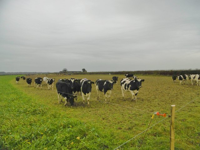
Zannies Coppice is also home to a rich array of wildlife. Deer, badgers, and foxes are frequently spotted, as well as a multitude of bird species, including woodpeckers, owls, and thrushes. The forest provides an essential habitat for these creatures, offering shelter, food, and protection.

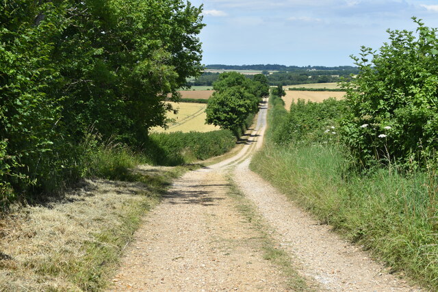
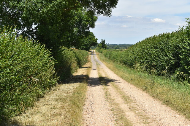
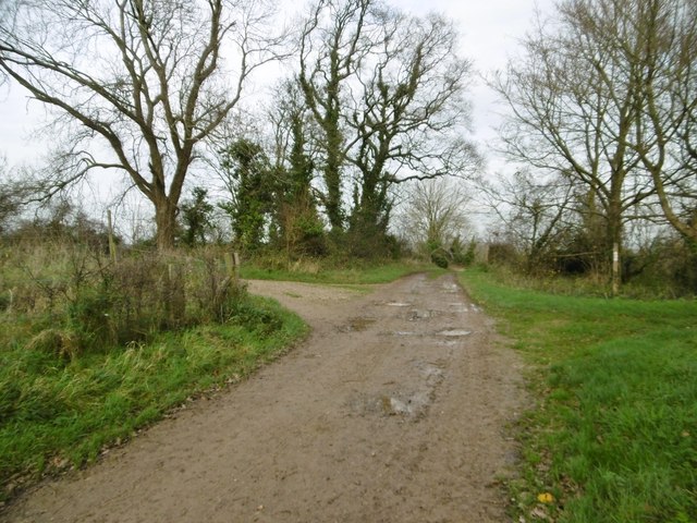
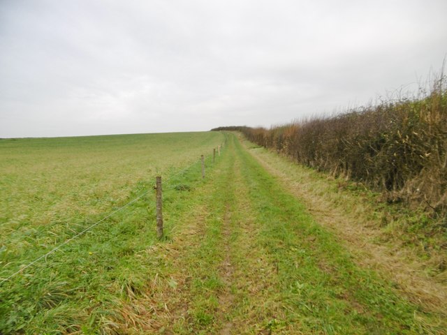
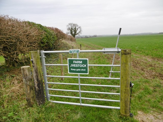
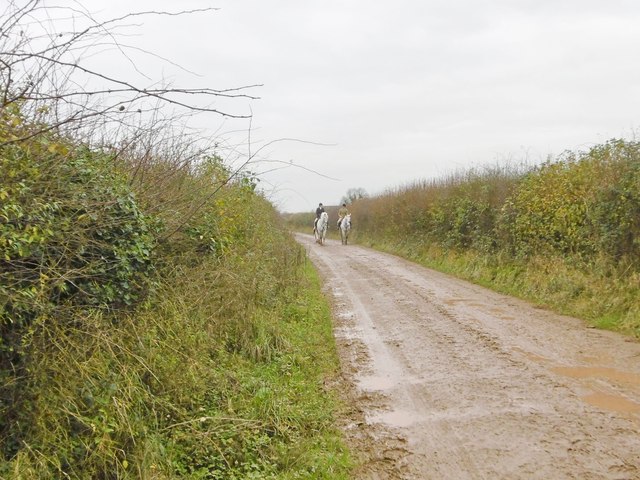
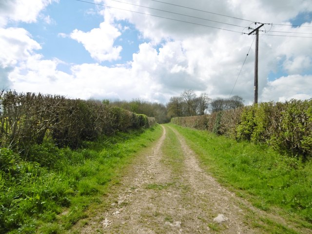
Visitors to Zannies Coppice can explore the forest via numerous walking trails that wind through the trees, offering glimpses of its natural wonders at every turn. The forest is open to the public year-round, and there are picnic areas and benches scattered throughout, allowing visitors to relax and immerse themselves in the tranquil surroundings.

Overall, Zannies Coppice is a true gem in Dorset's natural landscape, offering a serene escape for those seeking solace in the beauty of nature.

If you have any feedback on the listing, please let us know in the comments section below.

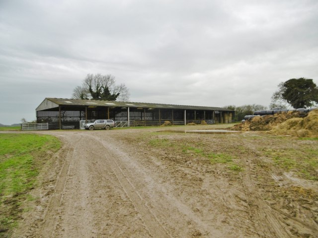
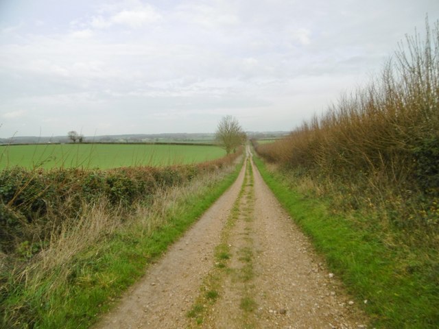
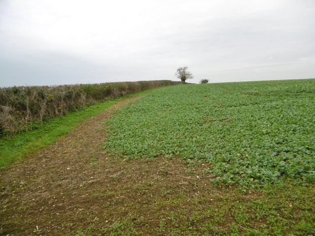
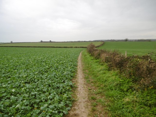
Zannies Coppice Images

Images are sourced within 2km of 50.850184/-2.0312422 or Grid Reference ST9705. Thanks to Geograph Open Source API. All images are credited.

Farmland view northwest towards Abbeycroft Down In the left distance is the former Tarrant Rushton Airfield site, with a hangar just visible between the trees.
Farmland view northwest towards Abbeycroft Down
In the left distance is the former Tarrant Rushton Airfield site, with a hangar just visible between the trees.
Hardy Way on farm track north of King Down Farm
Farmland south of Witchampton Lane The hay has been wrapped in plastic and stacked for the coming winter.
Farmland south of Witchampton Lane
The hay has been wrapped in plastic and stacked for the coming winter.
High Lea Dairy An orchard and farm track alongside High Lea Dairy.
High Lea Dairy
An orchard and farm track alongside High Lea Dairy.
Pamphill, bridleway junction Left, to Blandford Road; ahead, to Witchampton.
Pamphill, bridleway junction
Left, to Blandford Road; ahead, to Witchampton.
Witchampton, footpath Along farmland to the bridleway to Witchampton and Wimborne Road.
Witchampton, footpath
Along farmland to the bridleway to Witchampton and Wimborne Road.
Witchampton, cattle grazing The heifers are feeding next to the fence, where they have just been given supplementary feed.
Witchampton, cattle grazing
The heifers are feeding next to the fence, where they have just been given supplementary feed.
Witchampton, barn
Witchampton, barn
Witchampton, Heron Drove Bridleway and farm road, from Blandford Road to the village.
Witchampton, Heron Drove
Bridleway and farm road, from Blandford Road to the village.
Witchampton, brassicas Probably oil-seed rape.
Witchampton, brassicas
Probably oil-seed rape.
Witchampton, footpath Along cropland, to the bridleway to the village or Wimborne Road.
Witchampton, footpath
Along cropland, to the bridleway to the village or Wimborne Road.
Witchampton, cattle grazing Expectant heifers, obviously used to supplementary feed at this time of day; see also <a href="https://www.geograph.org.uk/photo/4768390">ST9604 : Witchampton, cattle grazing</a>, when it arrived.
Witchampton, cattle grazing
Expectant heifers, obviously used to supplementary feed at this time of day; see also ST9604 : Witchampton, cattle grazing, when it arrived.
Witchampton, gate On the bridleway to the village; currently disused, but presumably useful when the electric fence is reinstalled.
Witchampton, gate
On the bridleway to the village; currently disused, but presumably useful when the electric fence is reinstalled.
Witchampton, bridleway Bridleway and farm road, towards Wimborne Road.
Witchampton, bridleway
Bridleway and farm road, towards Wimborne Road.
Tarrant Rushton, Bratch Lane Footpath and farm road from Dean Hill to Rushton.
Tarrant Rushton, Bratch Lane
Footpath and farm road from Dean Hill to Rushton.
Tarrant Rushton, Bratch Lane Footpath and track from Dean Hill to the village, through Harry's Coppice.
Tarrant Rushton, Bratch Lane
Footpath and track from Dean Hill to the village, through Harry's Coppice.
High Summer in Dorset Looking across the fields towards Hemsworth.
High Summer in Dorset
Looking across the fields towards Hemsworth.
Show me another place!

Zannies Coppice is located at Grid Ref: ST9705 (Lat: 50.850184, Lng: -2.0312422)

Unitary Authority: Dorset

Police Authority: Dorset

What 3 Words

///kite.rucksack.enacted. Near Sturminster Marshall, Dorset

Related Wikis

Witchampton

Witchampton is a village and civil parish in East Dorset, England, situated on the River Allen 5 miles (8 km) north of Wimborne Minster. The 2011 census...

Bryanston SSSI, Dorset

Bryanston SSSI (grid reference ST974070) is a 0.3 hectare biological Site of Special Scientific Interest in Dorset, England notified in 1977. It is used...

Badbury Hundred

Badbury Hundred was a hundred in the county of Dorset, England, which took its name from the earthwork of Badbury Rings. It contained the following parishes...

Hinton Parva

Hinton Parva is a hamlet and former civil parish, now in the civil parish of Hinton, in east Dorset, England, three miles north of Wimborne Minster. The...

Badbury Rings

Badbury Rings is an Iron Age hill fort and Scheduled Monument in east Dorset, England. It was in the territory of the Durotriges. In the Roman era a temple...

RAF Tarrant Rushton

Royal Air Force Tarrant Rushton or more simply RAF Tarrant Rushton is a former Royal Air Force station near the village of Tarrant Rushton east of Blandford...

Crichel House

Crichel House is a Grade I listed, Classical Revival country house near the village of Moor Crichel in Dorset, England. The house has an entrance designed...

Moor Crichel

Moor Crichel () is a village and former civil parish, now in the parish of Crichel, in East Dorset, England situated on Cranborne Chase five miles east...

Nearby Amenities

Located within 500m of 50.850184,-2.0312422
Power: pole
Source: bing
Lat/Long: 50.84662/-2.0289088
Power: pole
Source: bing
Lat/Long: 50.8473367/-2.0288665
Power: pole
Source: bing
Lat/Long: 50.8485231/-2.0307441
Power: pole
Source: bing
Lat/Long: 50.8491151/-2.0316074
Power: pole
Source: bing
Lat/Long: 50.8494849/-2.0328096
Power: pole
Source: bing
Transformer: distribution
Lat/Long: 50.8518428/-2.0338179
Power: pole
Source: bing
Lat/Long: 50.8515594/-2.0344838
Power: pole
Source: bing
Lat/Long: 50.850898/-2.0339403
Power: pole
Source: bing
Lat/Long: 50.8501363/-2.0333094
Power: pole
Source: bing
Lat/Long: 50.8528713/-2.0368298
Power: pole
Source: bing
Lat/Long: 50.8523487/-2.0351279
Power: pole
Source: bing
Lat/Long: 50.853138/-2.0357836
The data included in this document is from www.openstreetmap.org. The data is made available under ODbL.

Have you been to Zannies Coppice?

Leave your review of Zannies Coppice below (or comments, questions and feedback).