Fox's Plantation
Wood, Forest in Staffordshire Staffordshire Moorlands
England
Fox's Plantation
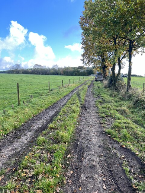
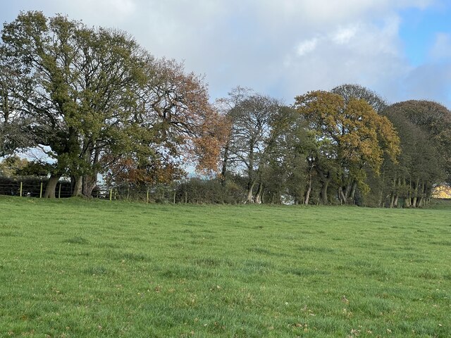
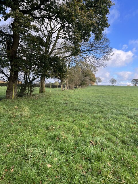
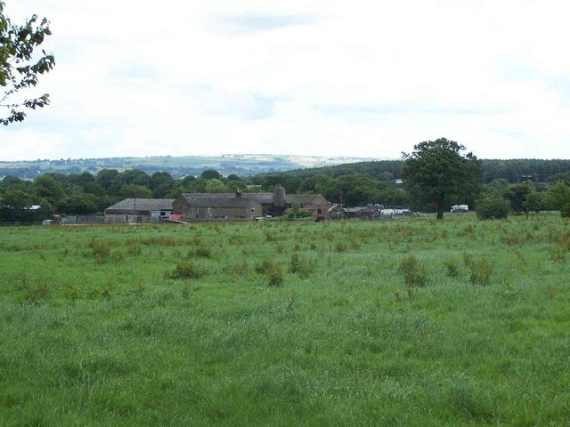
Fox's Plantation is a woodland area located in Staffordshire, England. It covers a vast expanse of land, spanning approximately 200 acres. The plantation is situated within the beautiful countryside of Staffordshire, surrounded by rolling hills and picturesque landscapes.
The woodland is primarily composed of a variety of tree species, including oak, birch, beech, and pine. These trees create a dense canopy, providing a habitat for a diverse range of wildlife. The plantation is known for its rich biodiversity, with numerous species of birds, mammals, and insects calling it home.
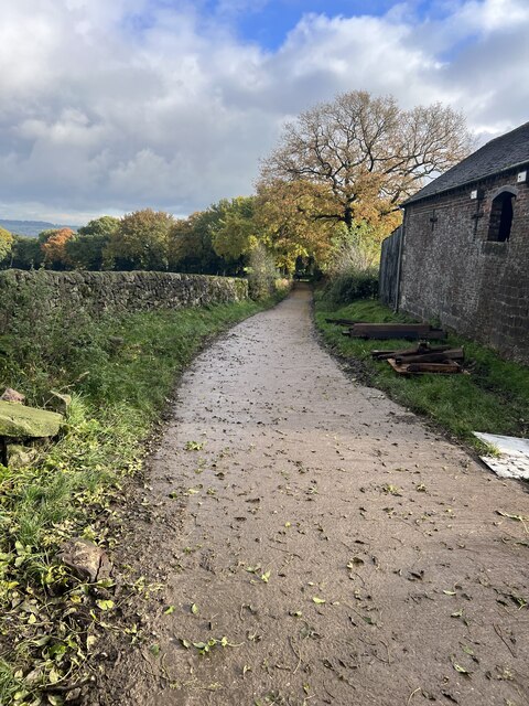
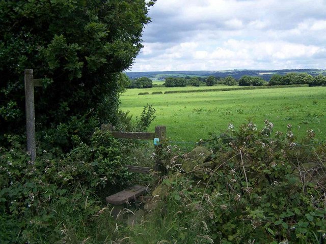
Walking through Fox's Plantation, visitors are met with an enchanting atmosphere. The peacefulness and tranquility of the woodland make it a popular destination for nature lovers and outdoor enthusiasts. There are several walking trails that wind through the plantation, allowing visitors to explore its natural beauty.
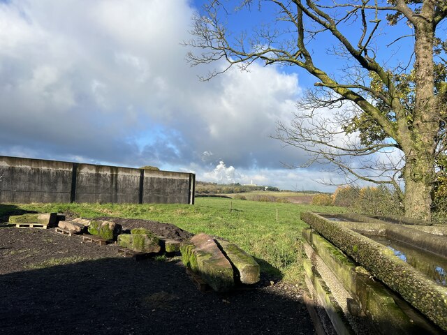
The plantation also has historical significance, with evidence of human activity dating back centuries. Archaeological findings suggest that the land was used for agriculture and timber production during the medieval period. Today, remnants of old stone walls and boundaries can still be seen, adding to the charm and character of the woodland.
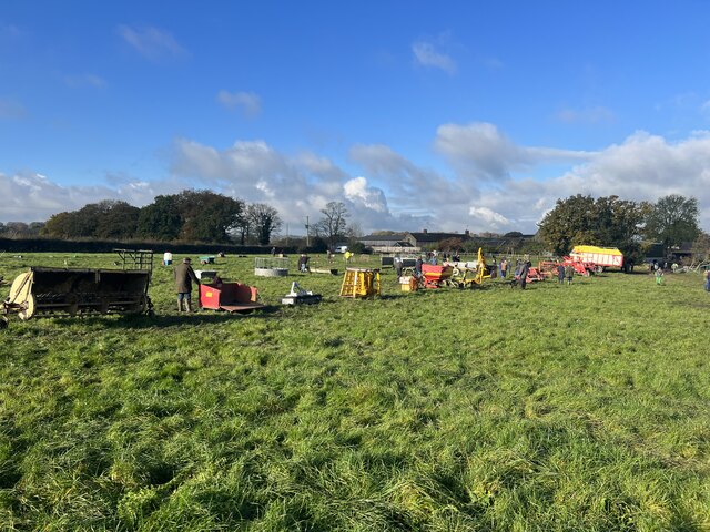
Fox's Plantation is managed and maintained by local authorities, who aim to preserve its natural beauty and ecological importance. The woodland is open to the public year-round, with designated areas for picnicking and recreational activities. With its stunning scenery and rich history, Fox's Plantation is a hidden gem in Staffordshire, offering a peaceful retreat for nature enthusiasts and a glimpse into the region's past.
If you have any feedback on the listing, please let us know in the comments section below.
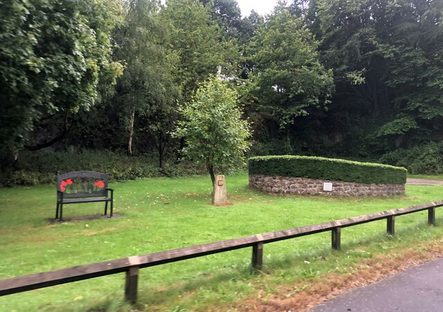
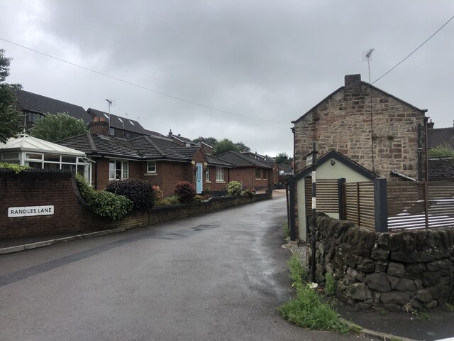
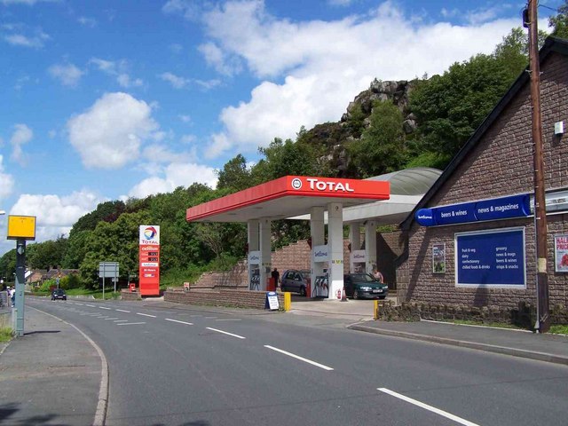
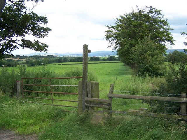
Fox's Plantation Images
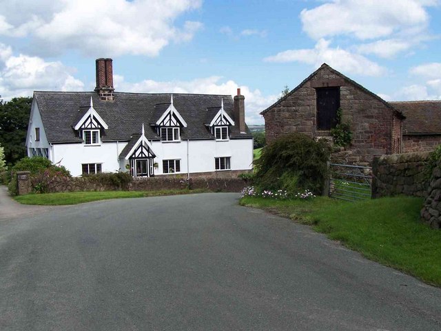
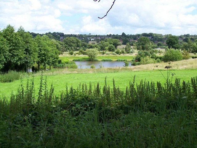
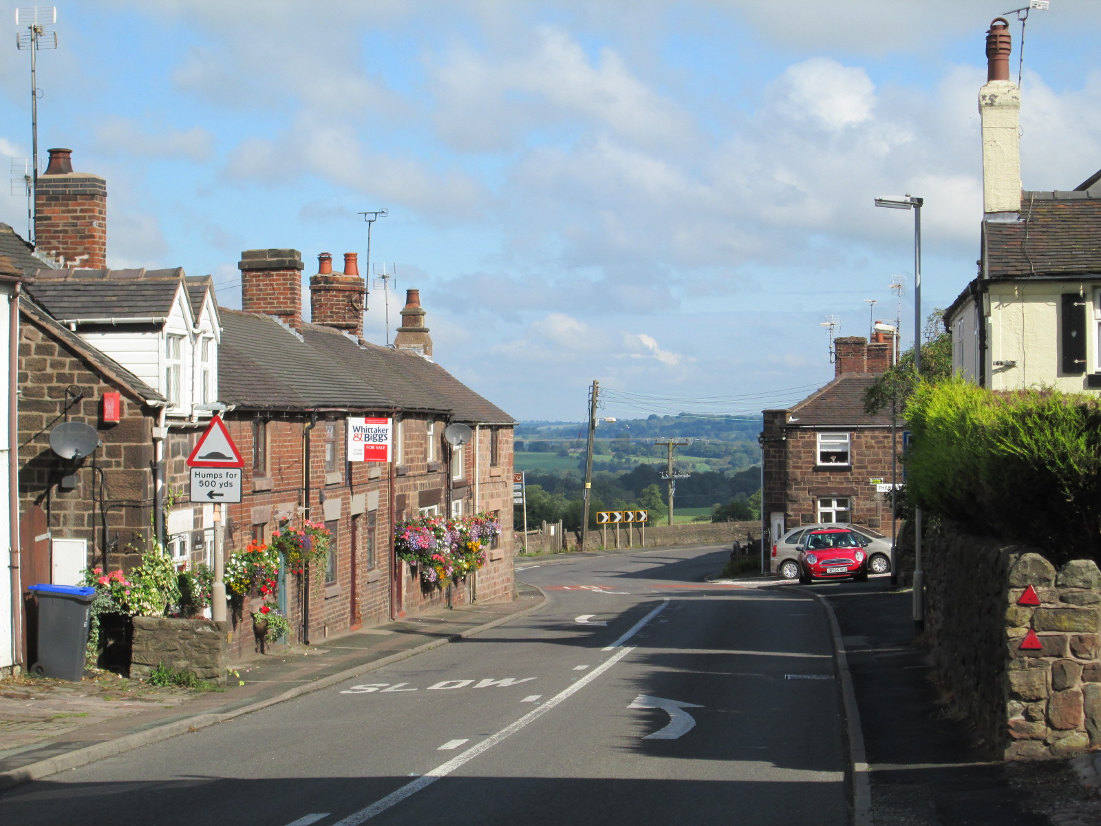
Images are sourced within 2km of 53.050833/-2.0451902 or Grid Reference SJ9750. Thanks to Geograph Open Source API. All images are credited.
Fox's Plantation is located at Grid Ref: SJ9750 (Lat: 53.050833, Lng: -2.0451902)
Administrative County: Staffordshire
District: Staffordshire Moorlands
Police Authority: Staffordshire
What 3 Words
///snaps.gross.beads. Near Cheddleton, Staffordshire
Nearby Locations
Related Wikis

Ashcombe Park, Staffordshire
Ashcombe Park is a country house and estate near Cheddleton, in Staffordshire, England. The house is a Grade II* listed building, listed on 2 May 1953...
Wetley Rocks
Wetley Rocks is a village in Staffordshire, England, about 2 miles (3.2 km) south of Cheddleton and 6 miles (9.7 km) south of Leek. For population details...

Cheddleton
Cheddleton is an ancient parish and village in the Staffordshire Moorlands, near to the town of Leek, England. == History == The village is divided into...

Churnet Valley Railway
The Churnet Valley Railway is a preserved standard gauge heritage railway in the Staffordshire Moorlands of Staffordshire, England. It operates on part...

Consall
Consall is a small village situated in the Staffordshire Moorlands, Staffordshire, England. It is approximately 6 miles south of the market town of Leek...
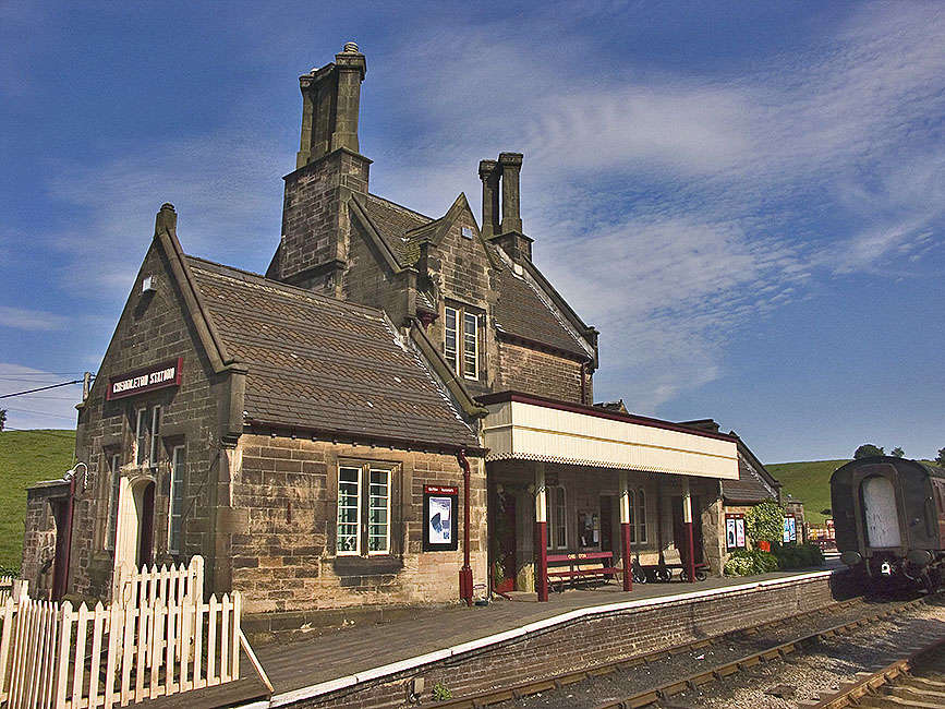
Cheddleton railway station
Cheddleton railway station is a former passenger railway station of the North Staffordshire Railway (NSR) and is now a preserved station on the Churnet...

Cheddleton Flint Mill
Cheddleton Flint Mill is a water mill situated in the village of Cheddleton in the English county of Staffordshire. The mill race takes water from the...

Deep Hayes Country Park
Deep Hayes Country Park is a country park in Staffordshire, England. It is about 3 miles (4.8 km) south-west of Leek, a short distance south of the A53...
Nearby Amenities
Located within 500m of 53.050833,-2.0451902Have you been to Fox's Plantation?
Leave your review of Fox's Plantation below (or comments, questions and feedback).