Pottal Covert
Wood, Forest in Staffordshire South Staffordshire
England
Pottal Covert
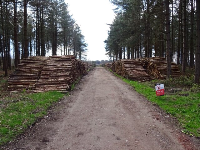
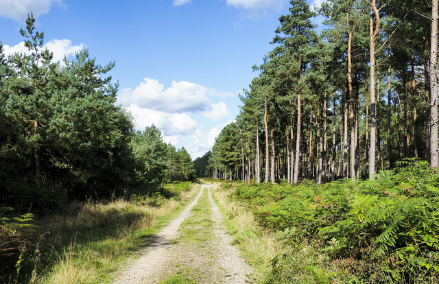
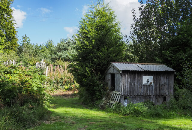
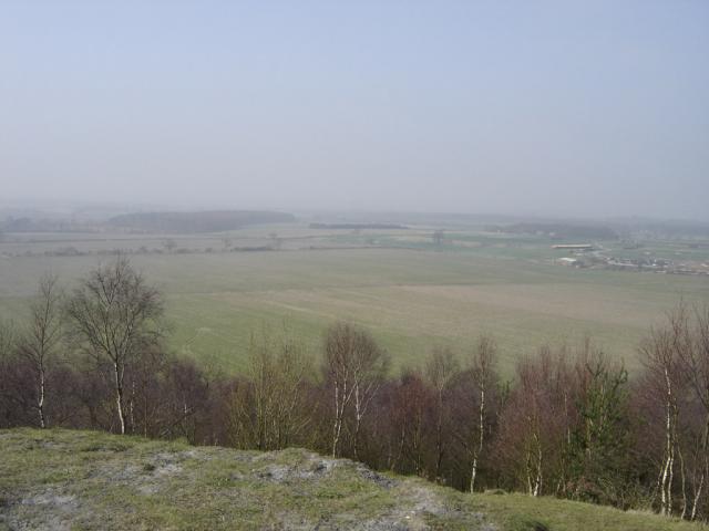
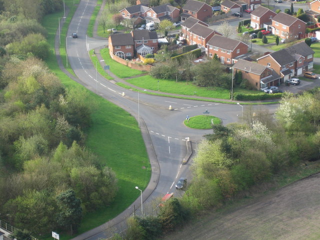
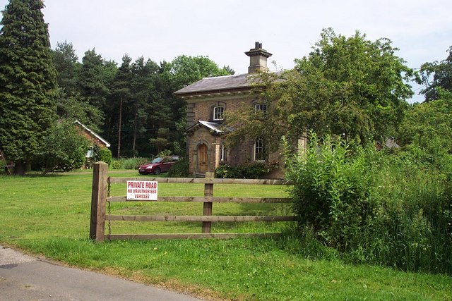
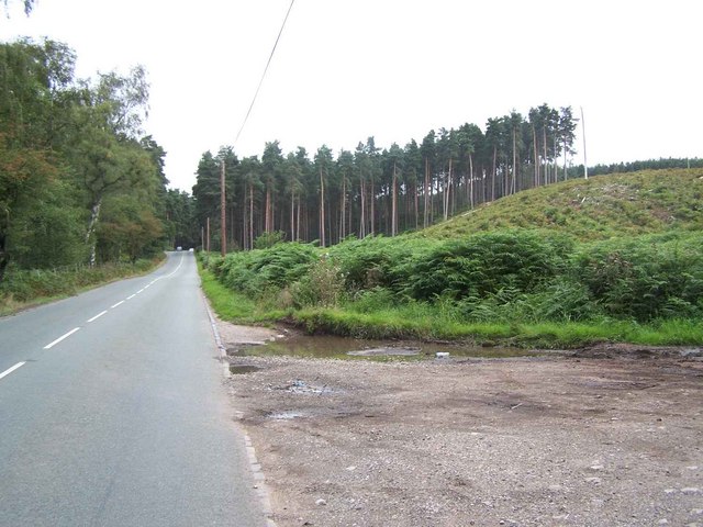
Pottal Covert, located in Staffordshire, England, is a picturesque wood and forest area that covers approximately 100 acres of land. It is situated near the village of Haughton, south of Stafford town. The site is known for its natural beauty, diverse flora and fauna, and tranquil atmosphere.
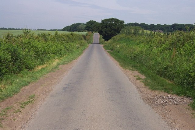
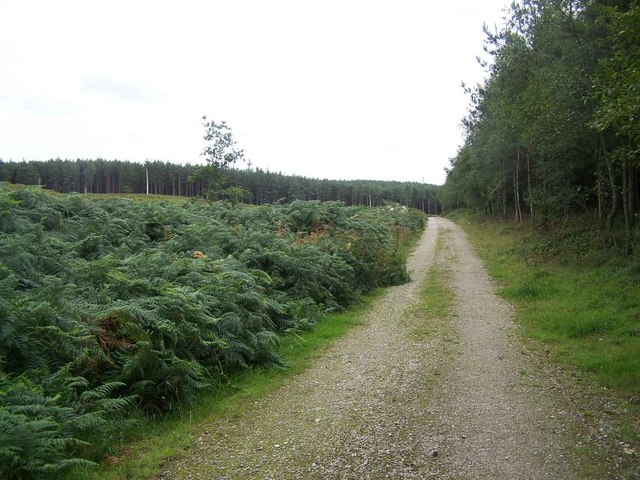
The woodland of Pottal Covert consists mainly of broadleaf trees, such as oak, ash, and beech, which create a dense canopy overhead. The forest floor is covered with a variety of plants, including bluebells, ferns, and wild garlic, which add to the area's charm. The wood is crisscrossed with footpaths, allowing visitors to explore its winding trails and discover its hidden corners.
Wildlife flourishes within Pottal Covert, making it an attractive destination for nature enthusiasts. The forest provides a habitat for various bird species, including woodpeckers, bullfinches, and tawny owls. Squirrels can be spotted darting among the trees, while rabbits and deer occasionally make an appearance.
Pottal Covert offers a peaceful retreat for those seeking solitude or a place to reconnect with nature. Its tranquil environment makes it popular among walkers, joggers, and dog owners. The wood is also a favored spot for photographers, artists, and writers who find inspiration in its serene surroundings.
In summary, Pottal Covert in Staffordshire is a picturesque woodland and forest with a rich variety of plant and animal life. Its natural beauty and peaceful ambiance make it a popular destination for nature lovers and those seeking a quiet escape from the hustle and bustle of everyday life.
If you have any feedback on the listing, please let us know in the comments section below.
Pottal Covert Images
Images are sourced within 2km of 52.727549/-2.0479184 or Grid Reference SJ9614. Thanks to Geograph Open Source API. All images are credited.
Pottal Covert is located at Grid Ref: SJ9614 (Lat: 52.727549, Lng: -2.0479184)
Administrative County: Staffordshire
District: South Staffordshire
Police Authority: Staffordshire
What 3 Words
///tutorial.kneeled.dignify. Near Cannock, Staffordshire
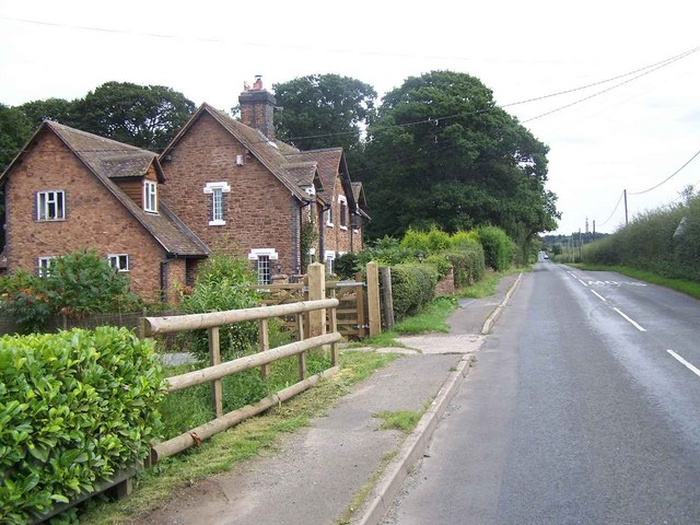
Nearby Locations
Related Wikis
Huntington, Staffordshire
Huntington is a civil parish and former mining village in Staffordshire, on the outskirts of Cannock Chase. It lies on the A34 road just north of Cannock...
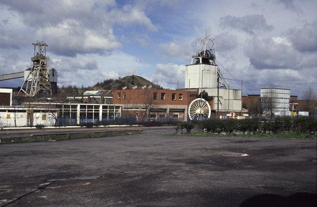
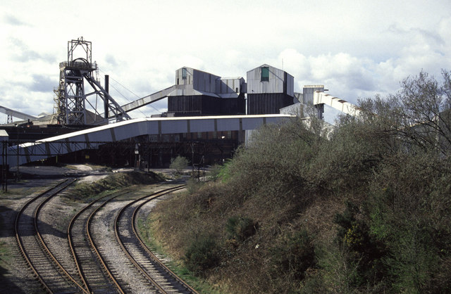
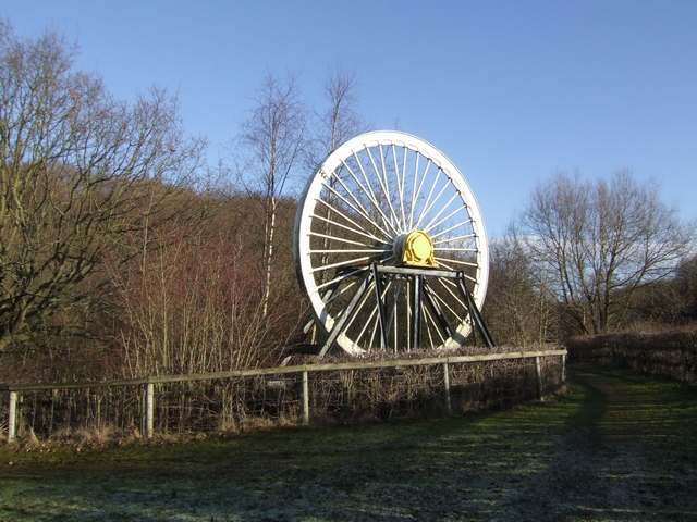
Littleton Colliery
Littleton Colliery was a deep coal mine situated two miles north of Cannock on the A34 in the village of Huntington. The colliery closed on 3 December...

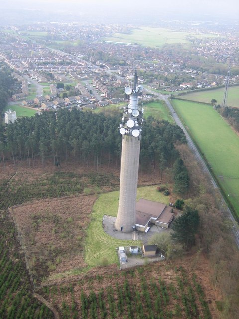
Pye Green BT Tower
Pye Green BT Tower is a 96.9-metre (318 ft) tall telecommunication tower built of reinforced concrete at Pye Green, Staffordshire, England (grid reference...

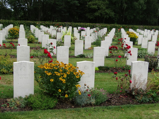
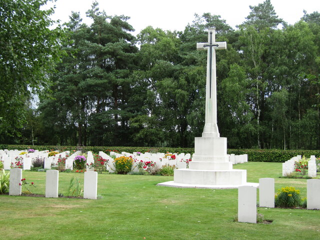
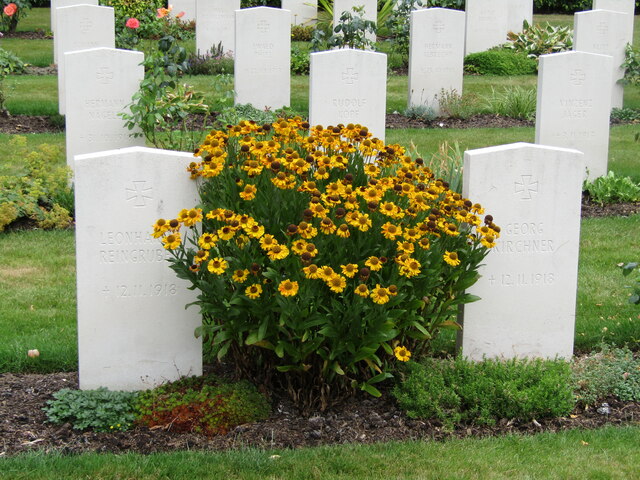
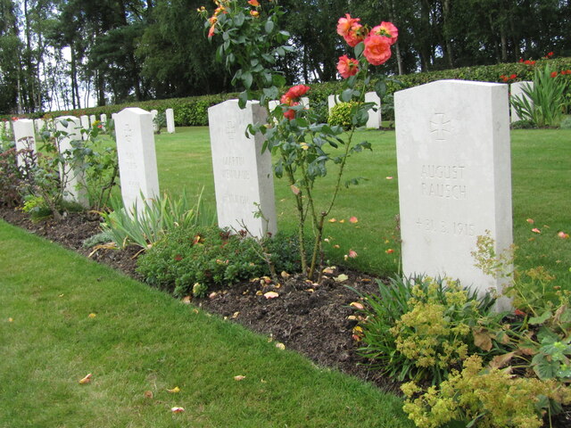
Cannock Chase German Military Cemetery
The Cannock Chase German Military Cemetery (grid reference SJ984157) is on Cannock Chase, Staffordshire, England. The cemetery contains nearly 5,000 burials...

Pye Green
Pye Green is part of Hednesford, Staffordshire, England, running from Chadsmoor and Hednesford, across the Pye Green valley and to the edge of The Chase...
Teddesley Hall
Teddesley Hall was a large Georgian English country house located close to Penkridge in Staffordshire, now demolished. It was the main seat firstly of...
Pillaton, Staffordshire
Pillaton is a small village in Staffordshire, England, nearby to Penkridge and lying on the B5012 road between Cannock and Penkridge. It falls under the...
Staffordshire University Academy
Staffordshire University Academy is a secondary school and sixth form located in Marston Road, Hednesford, Cannock, Staffordshire, England. The school...
Nearby Amenities
Located within 500m of 52.727549,-2.0479184Have you been to Pottal Covert?
Leave your review of Pottal Covert below (or comments, questions and feedback).