Cockson's Ratts Plantation

Wood, Forest in Yorkshire Craven

England

Cockson's Ratts Plantation

Swinden Quarry [1] The quarry sign.
The quarry is 2 miles south of Grassington and supplies limestone. The quarry is served by the former Skipton to Grassington railway, which now terminates here.
Swinden Quarry [1] Credit: Michael Dibb

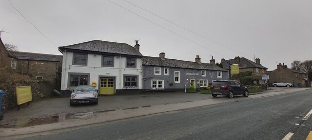
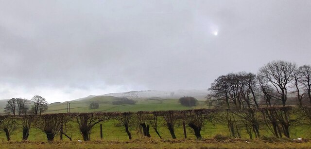
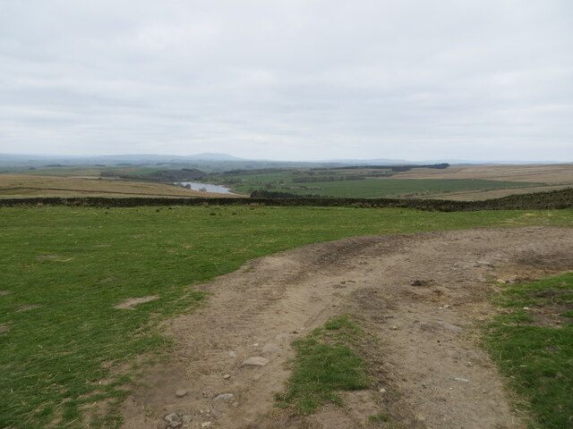
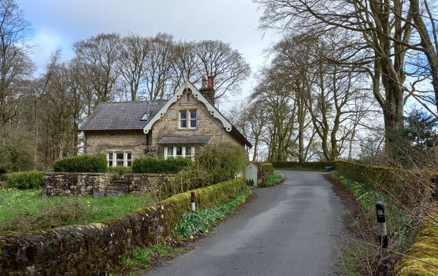
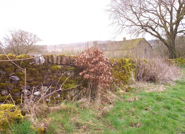
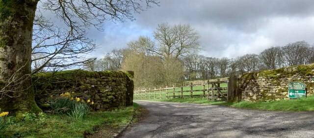
Cockson's Ratts Plantation is a picturesque woodland located in Yorkshire, England. Spanning over a vast area, the plantation is known for its dense forest cover and natural beauty. It is a popular destination for nature enthusiasts, hikers, and wildlife lovers.

The woodland comprises a variety of tree species, including oak, beech, and ash, creating a diverse and vibrant ecosystem. The trees tower over visitors, providing a sense of tranquility and seclusion as they explore the plantation. The forest floor is adorned with a rich carpet of moss, ferns, and wildflowers, adding to the enchanting atmosphere.

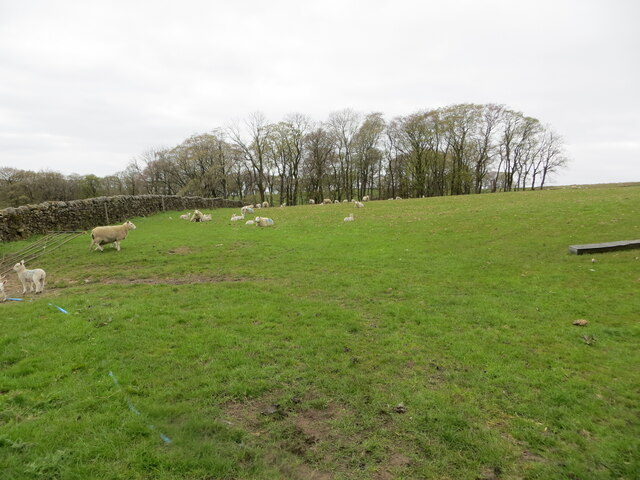
Cockson's Ratts Plantation is home to an abundance of wildlife. Bird watchers can spot a variety of species, including woodpeckers, owls, and thrushes. Squirrels scurry through the branches, while rabbits and deer can be occasionally glimpsed amidst the undergrowth. The plantation also supports a diverse insect population, including butterflies, bees, and beetles.

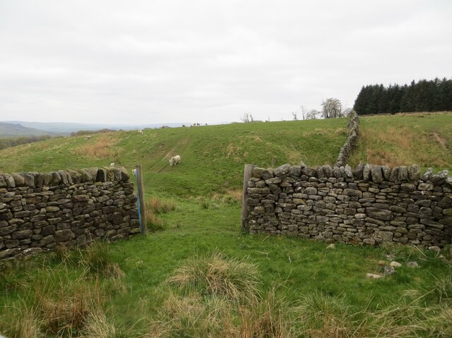
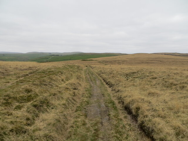
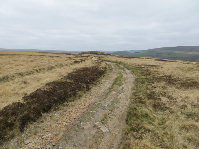
Visitors can indulge in numerous recreational activities within the plantation. There are well-maintained walking trails that wind through the forest, providing an opportunity to explore its hidden treasures. Picnic areas are available, allowing visitors to relax and enjoy the serene surroundings. The plantation also offers educational programs and guided nature walks for those seeking a deeper understanding of the local flora and fauna.

Cockson's Ratts Plantation is a true gem of Yorkshire, offering a peaceful retreat from the hustle and bustle of everyday life. Its natural beauty, diverse wildlife, and recreational opportunities make it a must-visit destination for nature enthusiasts and those seeking solace in the heart of the forest.

If you have any feedback on the listing, please let us know in the comments section below.

Cockson's Ratts Plantation Images

Images are sourced within 2km of 54.042362/-2.0500522 or Grid Reference SD9660. Thanks to Geograph Open Source API. All images are credited.

Swinden Quarry [1] The quarry sign.
The quarry is 2 miles south of Grassington and supplies limestone. The quarry is served by the former Skipton to Grassington railway, which now terminates here.
Swinden Quarry [1]
The quarry sign. The quarry is 2 miles south of Grassington and supplies limestone. The quarry is served by the former Skipton to Grassington railway, which now terminates here.
Swinden Quarry [2] The roadway into the quarry.
The quarry is 2 miles south of Grassington and supplies limestone. The quarry is served by the former Skipton to Grassington railway, which now terminates here.
Swinden Quarry [2]
The roadway into the quarry. The quarry is 2 miles south of Grassington and supplies limestone. The quarry is served by the former Skipton to Grassington railway, which now terminates here.
Swinden Quarry [3] Railway wagons at the end of  the line.
The quarry is 2 miles south of Grassington and supplies limestone. The quarry is served by the former Skipton to Grassington railway, which now terminates here.
Swinden Quarry [3]
Railway wagons at the end of the line. The quarry is 2 miles south of Grassington and supplies limestone. The quarry is served by the former Skipton to Grassington railway, which now terminates here.
The Devonshire Arms - Cracoe
Fields at Cracoe Green
Pastureland hosting sheep and lambs Looking south-westward from Fleets Lane towards Sunhill Gill Plantation.
Pastureland hosting sheep and lambs
Looking south-westward from Fleets Lane towards Sunhill Gill Plantation.
Sheepfold with access to and from upland pasture Looking south-westward from Boss Moor Lane.
Sheepfold with access to and from upland pasture
Looking south-westward from Boss Moor Lane.
Wall enclosed upland pasture Looking south-westward from Boss Moor Lane. Winterburn Reservoir is visible in the far distance.
Wall enclosed upland pasture
Looking south-westward from Boss Moor Lane. Winterburn Reservoir is visible in the far distance.
Track crossing the open expanse of Boss Moor Looking northward.
Track crossing the open expanse of Boss Moor
Looking northward.
Track crossing Boss Moor Looking eastward.
Track crossing Boss Moor
Looking eastward.
Ordnance Survey Cut Mark This mark can be found on a gatepost near Sunhill beside Fleets/Boss Moor Lane.
The recorded details give a height of 252.6396 metres above sea level.
For more detail see : <span class="nowrap"><a title="https://www.bench-marks.org.uk/bm42978" rel="nofollow ugc noopener" href="https://www.bench-marks.org.uk/bm42978">Link</a><img style="margin-left:2px;" alt="External link" title="External link - shift click to open in new window" src="https://s1.geograph.org.uk/img/external.png" width="10" height="10"/></span>
Ordnance Survey Cut Mark
This mark can be found on a gatepost near Sunhill beside Fleets/Boss Moor Lane. The recorded details give a height of 252.6396 metres above sea level. For more detail see : LinkExternal link
Ordnance Survey Cut Mark This mark can be found on the wall of a sheepfold beside Boss Moor Lane.
The recorded details give a height of 281.5042 metres above sea level.
For more detail see : <span class="nowrap"><a title="https://www.bench-marks.org.uk/bm42977" rel="nofollow ugc noopener" href="https://www.bench-marks.org.uk/bm42977">Link</a><img style="margin-left:2px;" alt="External link" title="External link - shift click to open in new window" src="https://s1.geograph.org.uk/img/external.png" width="10" height="10"/></span>
Ordnance Survey Cut Mark
This mark can be found on the wall of a sheepfold beside Boss Moor Lane. The recorded details give a height of 281.5042 metres above sea level. For more detail see : LinkExternal link
Ordnance Survey Cut Mark This mark can be found on a gatepost at Boss Moor,
The recorded details give a height of 317.9308 metres above sea level.
For more detail see : <span class="nowrap"><a title="https://www.bench-marks.org.uk/bm42973" rel="nofollow ugc noopener" href="https://www.bench-marks.org.uk/bm42973">Link</a><img style="margin-left:2px;" alt="External link" title="External link - shift click to open in new window" src="https://s1.geograph.org.uk/img/external.png" width="10" height="10"/></span>
Ordnance Survey Cut Mark
This mark can be found on a gatepost at Boss Moor, The recorded details give a height of 317.9308 metres above sea level. For more detail see : LinkExternal link
Old Milestone by B6265, North of Cracoe at Junction with Thorpe Lane The milestone is located on the verge behind the chevron sign on the south east side of the road.  Parish of Cracoe (Craven District). Carved stone post, erected in the 18th Century. Broken across 50cm from base, now cemented together; was to north of lane, demolished, repaired twice, so resited on south east side. An earlier photograph can be found here: <a title="https://www.geograph.org.uk/photo/6738011" href="https://www.geograph.org.uk/photo/6738011">Link</a> 

Inscription reads:-  
To / Grassingt(on) / (3) / K(ettle)well / To / Skipton / 6 miles 

Milestone Society National ID: YN_SKKT06
Old Milestone by B6265, North of Cracoe at Junction with Thorpe Lane
The milestone is located on the verge behind the chevron sign on the south east side of the road.  Parish of Cracoe (Craven District). Carved stone post, erected in the 18th Century. Broken across 50cm from base, now cemented together; was to north of lane, demolished, repaired twice, so resited on south east side. An earlier photograph can be found here: Link  Inscription reads:- To / Grassingt(on) / (3) / K(ettle)well / To / Skipton / 6 miles Milestone Society National ID: YN_SKKT06
Fleets, Fleets Cottage The benchmark is cut into the east facing wall of the cottage, which is on the west side of the lane.
Fleets, Fleets Cottage
The benchmark is cut into the east facing wall of the cottage, which is on the west side of the lane.
Fleets, Fleets Cottage There is a benchmark cut into the east facing wall of the cottage, which is on the west side of the lane.
Fleets, Fleets Cottage
There is a benchmark cut into the east facing wall of the cottage, which is on the west side of the lane.
Fleets, Fleets Lane According to the OS benchmark database there is a pivot benchmark at this location cut into the roadside wall on the east side of the lane. Nothing was found.
Fleets, Fleets Lane
According to the OS benchmark database there is a pivot benchmark at this location cut into the roadside wall on the east side of the lane. Nothing was found.
Sunhill Centre, Fleets Lane According to the OS benchmark database there is a benchmark cut into a gatepost at the drive entrance. Nothing was found.
Sunhill Centre, Fleets Lane
According to the OS benchmark database there is a benchmark cut into a gatepost at the drive entrance. Nothing was found.
Show me another place!

Cockson's Ratts Plantation is located at Grid Ref: SD9660 (Lat: 54.042362, Lng: -2.0500522)

Division: West Riding

Administrative County: North Yorkshire

District: Craven

Police Authority: North Yorkshire

What 3 Words

///fidgeting.cried.nerve. Near Grassington, North Yorkshire

Related Wikis

Rylstone railway station

Rylstone railway station was a railway station that served the small village of Rylstone in North Yorkshire, England. It was built by the Yorkshire Dales...

Swinden Quarry

Swinden Quarry is 0.62 miles (1 km) north of the village of Cracoe, and 1.9 miles (3 km) south-west of Grassington in North Yorkshire, England. It is owned...

St Peter's Church, Rylstone

St Peter's Church is in the village of Rylstone, North Yorkshire, England. It is an active Anglican parish church in the deanery of Skipton, the archdeaconry...

Rylstone

Rylstone is a village and civil parish in the Craven district of North Yorkshire, England. It is situated very near to Cracoe and about 6 miles south west...

Winterburn Reservoir

Winterburn Reservoir is located near the village of Winterburn in Malhamdale, North Yorkshire, England. It was constructed between 1885 and 1893 by Leeds...

Hetton, North Yorkshire

Hetton is a small Dales village in the civil parish of Hetton-cum-Bordley, in the North Yorkshire district of North Yorkshire, England, situated 5.75 miles...

Cracoe

Cracoe is a small village and civil parish in the Craven district of North Yorkshire, England. It is situated near to Rylstone and about 6 miles south...

Linton, North Yorkshire

Linton is a village and civil parish in the Craven district of North Yorkshire, England. The population as of the 2011 census was 176. It lies not far...

Nearby Amenities

Located within 500m of 54.042362,-2.0500522
The data included in this document is from www.openstreetmap.org. The data is made available under ODbL.

Have you been to Cockson's Ratts Plantation?

Leave your review of Cockson's Ratts Plantation below (or comments, questions and feedback).