The Moors
Wood, Forest in Wiltshire
England
The Moors
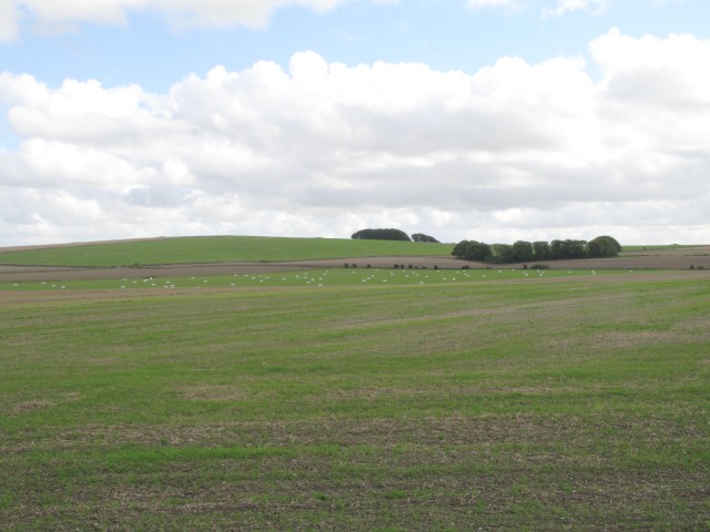
The Moors, Wiltshire, also known as the Wood or Forest Moors, is a picturesque area located in the county of Wiltshire, England. Spanning approximately 2,000 acres, this vast expanse of moorland is characterized by its rolling hills, open grasslands, and scattered woodlands. It is situated near the villages of Great Wishford and Woodford, offering visitors a tranquil and idyllic escape from urban life.
The Moors is renowned for its diverse flora and fauna, making it a haven for nature enthusiasts. The grassy plains are home to a variety of wildflowers, including orchids, foxgloves, and heather, providing a colorful display during the summer months. The woodlands that dot the landscape are primarily composed of oak and beech trees, creating a rich and vibrant canopy.
The area is also teeming with wildlife, attracting birdwatchers and animal lovers alike. Bird species such as skylarks, meadow pipits, and kestrels can often be spotted soaring overhead, while rabbits, deer, and badgers can be observed roaming freely on the moors.
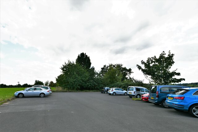
Visitors to The Moors can enjoy a range of outdoor activities, including hiking, cycling, and picnicking. There are several well-marked trails that crisscross the moorland, offering stunning panoramic views of the surrounding countryside. Additionally, the area is intersected by a network of streams and rivers, providing opportunities for fishing and paddling.
Overall, The Moors, Wiltshire, is a beautiful and serene natural landscape that showcases the best of England's countryside. Its diverse ecosystems, abundant wildlife, and recreational opportunities make it a popular destination for both locals and tourists seeking a peaceful retreat in nature.
If you have any feedback on the listing, please let us know in the comments section below.
The Moors Images
Images are sourced within 2km of 51.370226/-2.0474859 or Grid Reference ST9663. Thanks to Geograph Open Source API. All images are credited.

The Moors is located at Grid Ref: ST9663 (Lat: 51.370226, Lng: -2.0474859)
Unitary Authority: Wiltshire
Police Authority: Wiltshire
What 3 Words
///lecturers.explained.embedded. Near Rowde, Wiltshire
Nearby Locations
Related Wikis

Silverwood School
Silverwood School (formerly Rowdeford School and briefly North Wiltshire School) is a special needs community school, near Rowde, Wiltshire, England, for...
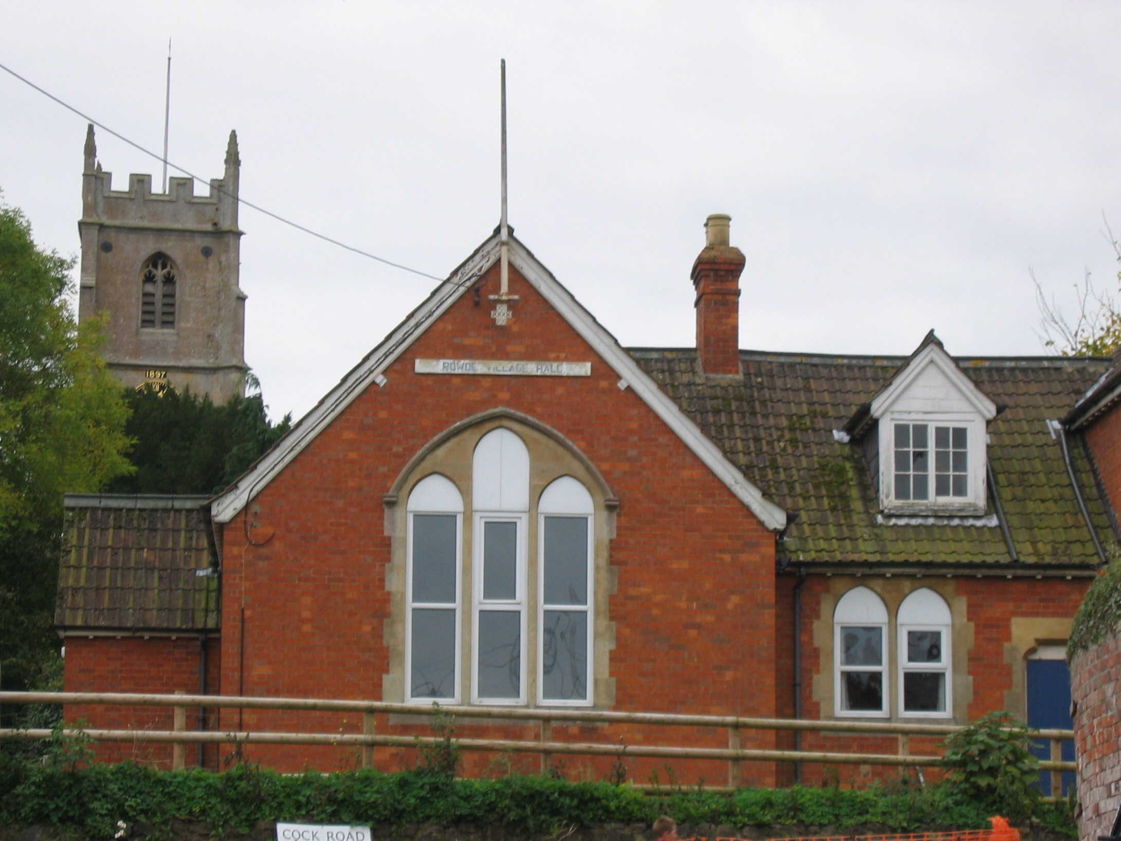
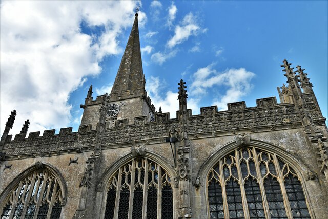
Rowde
Rowde () is a village and civil parish in the English county of Wiltshire, on the A342 about 1.7 miles (2.7 km) northwest of Devizes. The parish includes...

Bromham, Wiltshire
Bromham is a village and civil parish in Wiltshire, England. The village is 3+1⁄2 miles (6 km) northwest of Devizes and the same distance east of Melksham...

Bromham and Rowde Halt railway station
Bromham and Rowde Halt was the railway station serving Bromham and Rowde in Wiltshire, England between 1909 and 1966. The station was a stop on the Devizes...

Caen Hill Locks
Caen Hill Locks () are a flight of 29 locks on the Kennet and Avon Canal, between Rowde and Devizes in Wiltshire, England. == Description == The 29 locks...
Devizes County House of Corrections
The Devizes County House of Corrections or Devizes Prison was a correctional facility in Devizes, Wiltshire, England. It opened in 1817, replacing the...

Seend
Seend is a village and civil parish about 3 miles (5 km) southeast of the market town of Melksham, Wiltshire, England. It lies about 3.5 miles (6 km) west...
Roundway Down and Covert
Roundway Down and Covert (grid reference SU000646) is an 86 hectare biological Site of Special Scientific Interest near Devizes in Wiltshire, England....
Nearby Amenities
Located within 500m of 51.370226,-2.0474859Have you been to The Moors?
Leave your review of The Moors below (or comments, questions and feedback).