Far Wood

Wood, Forest in Worcestershire Wychavon

England

Far Wood

Track on Bredon Hill Track and permissive path near Lalu Farm on Bredon Hill.
Track on Bredon Hill Credit: Philip Halling

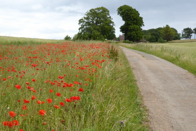
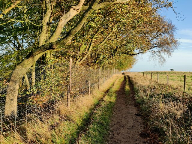
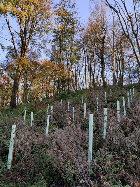
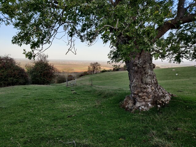
Far Wood is a picturesque woodland located in Worcestershire, England. Covering an expansive area of land, it is situated in close proximity to the village of Far Forest. The wood is a diverse mix of deciduous and coniferous trees, creating a beautiful tapestry of colors throughout the seasons.

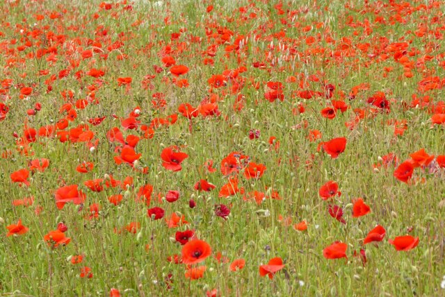
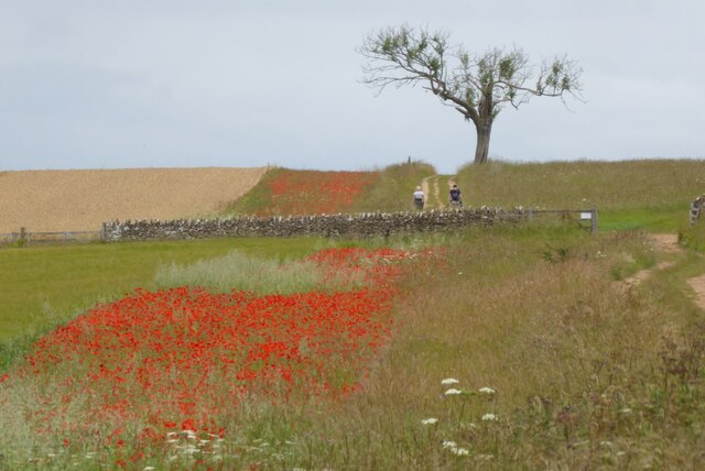
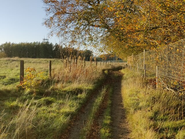
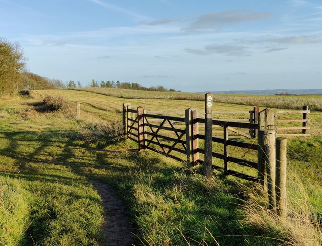
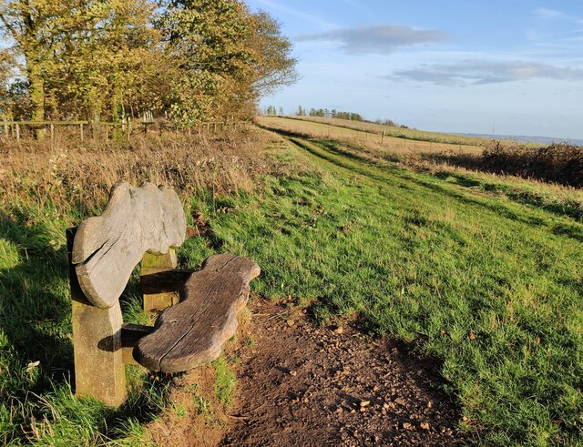
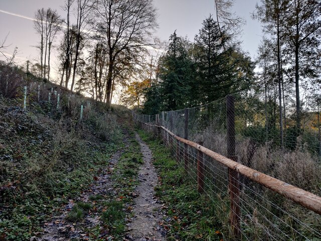
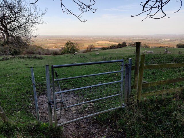
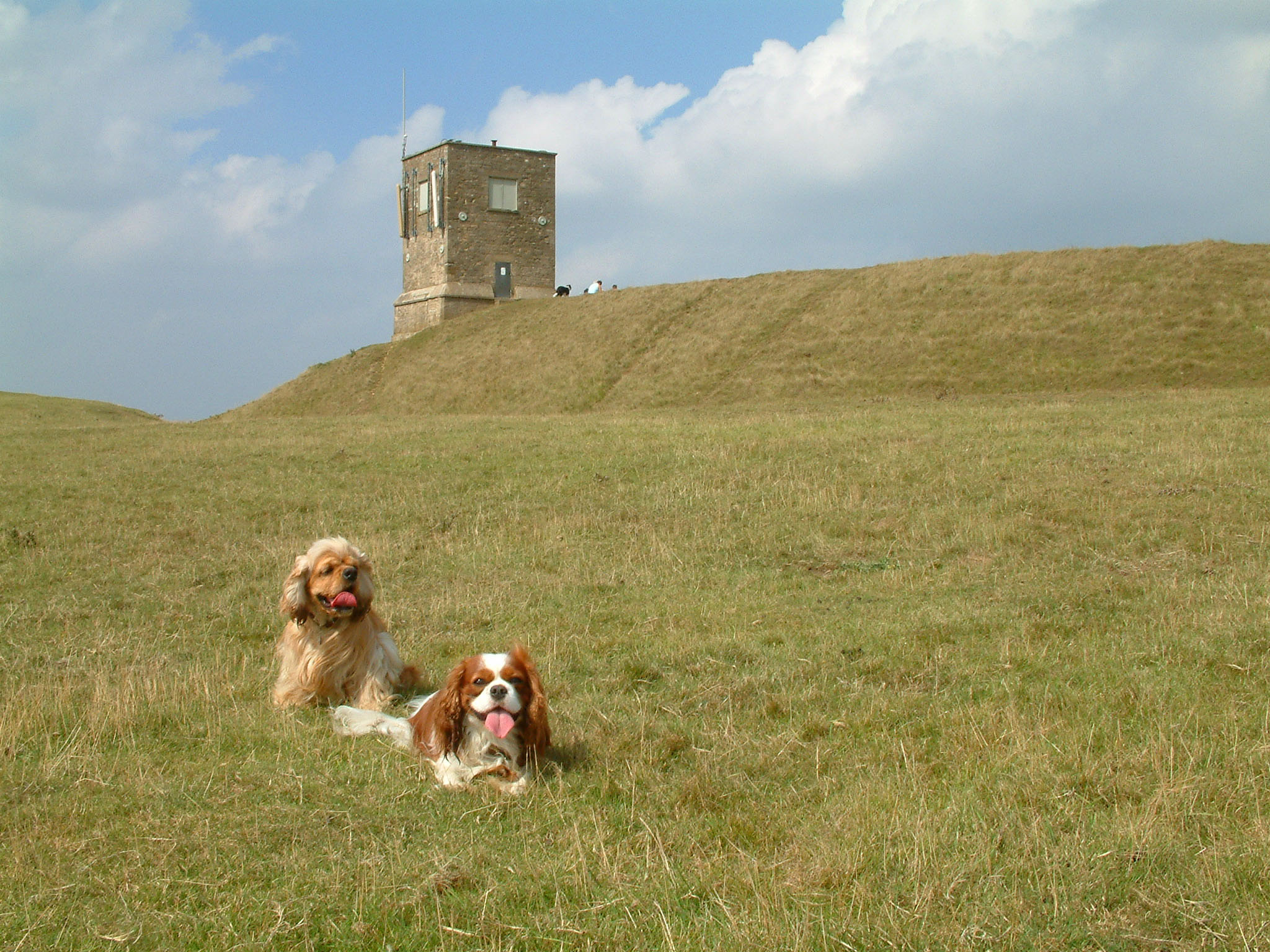
The wood is easily accessible, with several well-maintained footpaths and trails that wind their way through the trees. These paths offer visitors the opportunity to explore the wood at their own pace, taking in the serene surroundings and enjoying the tranquility of nature. The wood is also home to a wide variety of wildlife, including deer, squirrels, and a myriad of bird species, making it a popular spot for birdwatching enthusiasts.

One of the notable features of Far Wood is its ancient history. The wood has been a part of the landscape for centuries and has witnessed the passage of time. There are remnants of old stone walls and foundations, hinting at the wood's past significance. It is believed that these structures were once part of a medieval hunting lodge, adding an air of mystery and intrigue to the wood.

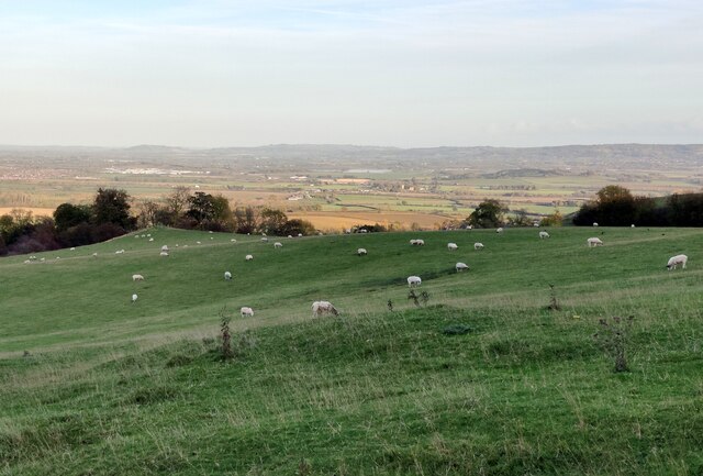
Far Wood is a popular destination for nature lovers and outdoor enthusiasts alike. With its natural beauty, rich history, and abundance of wildlife, it provides a serene escape from the hustle and bustle of everyday life. Whether it's a leisurely walk, a picnic among the trees, or simply a moment of solitude, Far Wood offers a peaceful retreat for all who visit.

If you have any feedback on the listing, please let us know in the comments section below.
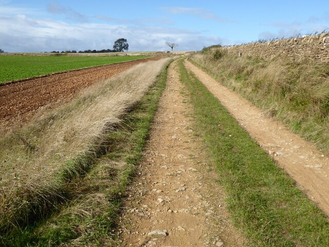
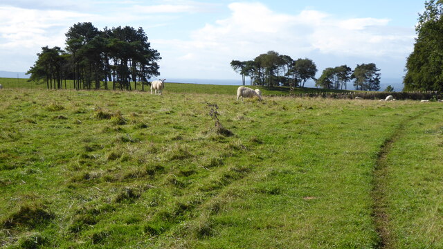
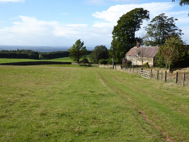
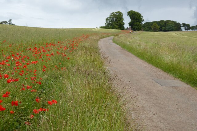
Far Wood Images

Images are sourced within 2km of 52.068061/-2.0533909 or Grid Reference SO9641. Thanks to Geograph Open Source API. All images are credited.

Track on Bredon Hill Track and permissive path near Lalu Farm on Bredon Hill.
Track on Bredon Hill
Track and permissive path near Lalu Farm on Bredon Hill.
Sheep and trees on Bredon Hill The trees in the background are in clump giving the impression it has been planted as an estate parkland.
Sheep and trees on Bredon Hill
The trees in the background are in clump giving the impression it has been planted as an estate parkland.
Bridleway passing Lalu Farm Bridleway passing Lalu Farm on Bredon Hill with Gloucestershire and the Severn vale in the distance.
Bridleway passing Lalu Farm
Bridleway passing Lalu Farm on Bredon Hill with Gloucestershire and the Severn vale in the distance.
Drive to Lalu Farm Poppies beside the drive on Bredon Hill leading to Lalu Farm.
Drive to Lalu Farm
Poppies beside the drive on Bredon Hill leading to Lalu Farm.
Poppies on Bredon Hill Poppies on Bredon Hill near Lalu Farm.
Poppies on Bredon Hill
Poppies on Bredon Hill near Lalu Farm.
Drive to Lalu Farm Poppies in the field headland beside the drive to Lalu Farm on Bredon Hill.
Drive to Lalu Farm
Poppies in the field headland beside the drive to Lalu Farm on Bredon Hill.
Poppies on Bredon Hill Poppies on Bredon Hill near Lalu Farm.
Poppies on Bredon Hill
Poppies on Bredon Hill near Lalu Farm.
Walkers on Bredon Hill Poppies in a field headland beside a track on Bredon Hill.  Walkers on the track are heading for Parsons Folly and summit of Bredon Hill.
Walkers on Bredon Hill
Poppies in a field headland beside a track on Bredon Hill. Walkers on the track are heading for Parsons Folly and summit of Bredon Hill.
Telecommunications mast on Bredon Hill Bredon Hill, 299 m (981 ft), is in South Worcestershire, it is geologically part of the Cotswolds but stands isolated in the Vale of Evesham.
There is a small stone tower on the summit called Parsons Folly, along with the remains of an Iron Age hill fort known as Kemerton Camp, abandoned in the 1st century AD.
Telecommunications mast on Bredon Hill
Bredon Hill, 299 m (981 ft), is in South Worcestershire, it is geologically part of the Cotswolds but stands isolated in the Vale of Evesham. There is a small stone tower on the summit called Parsons Folly, along with the remains of an Iron Age hill fort known as Kemerton Camp, abandoned in the 1st century AD.
Wychavon Way at Long Plantation on Bredon Hill The Wychavon Way begins in the Worcestershire town of Droitwich Spa and ends in the Cotswold village of Broadway. The trail is about 40 miles (64 km) in length and was created in 1977 to celebrate the Queen's Silver Jubilee.
Wychavon Way at Long Plantation on Bredon Hill
The Wychavon Way begins in the Worcestershire town of Droitwich Spa and ends in the Cotswold village of Broadway. The trail is about 40 miles (64 km) in length and was created in 1977 to celebrate the Queen's Silver Jubilee.
Wychavon Way on Bredon Hill The Wychavon Way begins in the Worcestershire town of Droitwich Spa and ends in the Cotswold village of Broadway. The trail is about 40 miles (64 km) in length and was created in 1977 to celebrate the Queen's Silver Jubilee.
Wychavon Way on Bredon Hill
The Wychavon Way begins in the Worcestershire town of Droitwich Spa and ends in the Cotswold village of Broadway. The trail is about 40 miles (64 km) in length and was created in 1977 to celebrate the Queen's Silver Jubilee.
Seat along the Wychavon Way on Bredon Hill Bredon Hill, 299 m (981 ft), is in South Worcestershire, it is geologically part of the Cotswolds but stands isolated in the Vale of Evesham.
There is a small stone tower on the summit called Parsons Folly, along with the remains of an Iron Age hill fort known as Kemerton Camp, abandoned in the 1st century AD.
Seat along the Wychavon Way on Bredon Hill
Bredon Hill, 299 m (981 ft), is in South Worcestershire, it is geologically part of the Cotswolds but stands isolated in the Vale of Evesham. There is a small stone tower on the summit called Parsons Folly, along with the remains of an Iron Age hill fort known as Kemerton Camp, abandoned in the 1st century AD.
Long Plantation on Bredon Hill Bredon Hill, 299 m (981 ft), is in South Worcestershire, it is geologically part of the Cotswolds but stands isolated in the Vale of Evesham.
There is a small stone tower on the summit called Parsons Folly, along with the remains of an Iron Age hill fort known as Kemerton Camp, abandoned in the 1st century AD.
Long Plantation on Bredon Hill
Bredon Hill, 299 m (981 ft), is in South Worcestershire, it is geologically part of the Cotswolds but stands isolated in the Vale of Evesham. There is a small stone tower on the summit called Parsons Folly, along with the remains of an Iron Age hill fort known as Kemerton Camp, abandoned in the 1st century AD.
Bridleway in Long Plantation on Bredon Hill Bredon Hill, 299 m (981 ft), is in South Worcestershire, it is geologically part of the Cotswolds but stands isolated in the Vale of Evesham.
There is a small stone tower on the summit called Parsons Folly, along with the remains of an Iron Age hill fort known as Kemerton Camp, abandoned in the 1st century AD.
Bridleway in Long Plantation on Bredon Hill
Bredon Hill, 299 m (981 ft), is in South Worcestershire, it is geologically part of the Cotswolds but stands isolated in the Vale of Evesham. There is a small stone tower on the summit called Parsons Folly, along with the remains of an Iron Age hill fort known as Kemerton Camp, abandoned in the 1st century AD.
Gate along a bridleway on Bredon Hill Bredon Hill, 299 m (981 ft), is in South Worcestershire, it is geologically part of the Cotswolds but stands isolated in the Vale of Evesham.
There is a small stone tower on the summit called Parsons Folly, along with the remains of an Iron Age hill fort known as Kemerton Camp, abandoned in the 1st century AD.
Gate along a bridleway on Bredon Hill
Bredon Hill, 299 m (981 ft), is in South Worcestershire, it is geologically part of the Cotswolds but stands isolated in the Vale of Evesham. There is a small stone tower on the summit called Parsons Folly, along with the remains of an Iron Age hill fort known as Kemerton Camp, abandoned in the 1st century AD.
Sheep at Fiddler's Knap on Bredon Hill Bredon Hill, 299 m (981 ft), is in South Worcestershire, it is geologically part of the Cotswolds but stands isolated in the Vale of Evesham.
There is a small stone tower on the summit called Parsons Folly, along with the remains of an Iron Age hill fort known as Kemerton Camp, abandoned in the 1st century AD.
Sheep at Fiddler's Knap on Bredon Hill
Bredon Hill, 299 m (981 ft), is in South Worcestershire, it is geologically part of the Cotswolds but stands isolated in the Vale of Evesham. There is a small stone tower on the summit called Parsons Folly, along with the remains of an Iron Age hill fort known as Kemerton Camp, abandoned in the 1st century AD.
Tree on Bredon Hill Bredon Hill, 299 m (981 ft), is in South Worcestershire, it is geologically part of the Cotswolds but stands isolated in the Vale of Evesham.
There is a small stone tower on the summit called Parsons Folly, along with the remains of an Iron Age hill fort known as Kemerton Camp, abandoned in the 1st century AD.
Tree on Bredon Hill
Bredon Hill, 299 m (981 ft), is in South Worcestershire, it is geologically part of the Cotswolds but stands isolated in the Vale of Evesham. There is a small stone tower on the summit called Parsons Folly, along with the remains of an Iron Age hill fort known as Kemerton Camp, abandoned in the 1st century AD.
Show me another place!

Far Wood is located at Grid Ref: SO9641 (Lat: 52.068061, Lng: -2.0533909)

Administrative County: Worcestershire

District: Wychavon

Police Authority: West Mercia

What 3 Words

///targeted.without.introduce. Near Eckington, Worcestershire

Related Wikis

Bredon Hill Hoard

The Bredon Hill Hoard (also known as the Bredon Hill Roman Coin Hoard) is a hoard of 3,784 debased silver Roman coins discovered in June 2011 by two metal...

Bredon Hill

Bredon Hill is a hill in Worcestershire, England, south-west of Evesham in the Vale of Evesham. The summit of the hill is in the parish of Kemerton, and...

Great Comberton

Great Comberton is a village in Worcestershire, England, United Kingdom. == Location == Great Comberton village is located 3 kilometres or two-and-a-half...

Elmley Castle (castle)

Elmley Castle was a late 11th-century earthwork and timber castle which received stone additions in the 12th and possibly 13th centuries, located 0.5 miles...

Elmley Castle

Elmley Castle is a village and civil parish in Worcestershire, in England, United Kingdom. It is located on the north side of Bredon Hill 3 miles south...

Little Comberton

Little Comberton is a small village in Worcestershire, England. It is located 2.5 miles (4.0 km) to the southeast of Pershore. Little Comberton has a village...

Bricklehampton

Bricklehampton is a village and civil parish in Worcestershire, England. In the 2021 census the population of the parish was recorded as 236. Its area...

Netherton, Worcestershire

Netherton is a hamlet with population of 50 living in 20 households. It is part of the civil parish of Elmley Castle, Bricklehampton & Netherton in...

Have you been to Far Wood?

Leave your review of Far Wood below (or comments, questions and feedback).