Peter's Wood

Wood, Forest in Wiltshire

England

Peter's Wood

Milestone, Idover Demesne, Somerford On Idover Lane that was administered by the Malmesbury Third District Turnpike Trust in the 18/19ᵗʰ C.
The benchmark rivet hole can just be seen (representing 60.6 m ASL).

Inscription (was): Malmesbury 4 / Chippenham 11

Milestone Society National ID: WI_MYCP04
Milestone, Idover Demesne, Somerford Credit: Tom Blanden

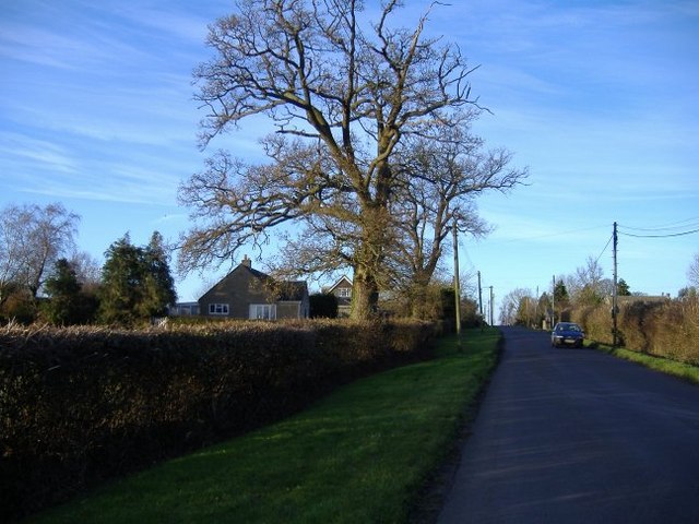
Peter's Wood is a picturesque forest located in the county of Wiltshire, England. Covering an area of approximately 100 acres, it is a popular destination for nature enthusiasts and hikers alike. The wood is situated near the village of Peter's Green, giving it its name.

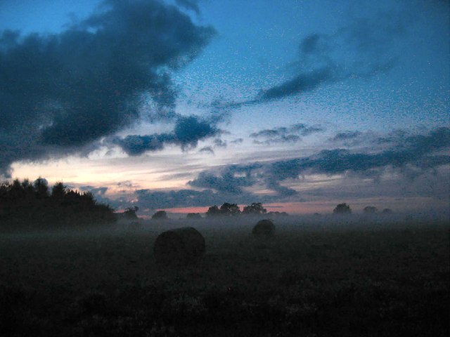
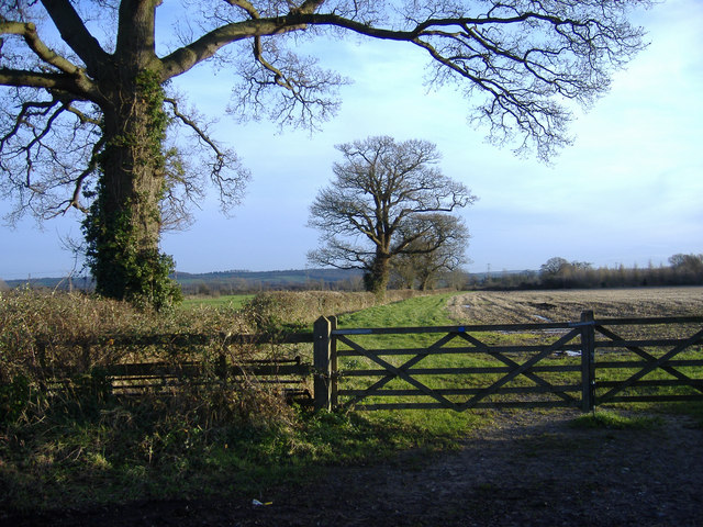
The forest boasts a diverse range of flora and fauna, making it a haven for wildlife. Ancient oak and beech trees dominate the landscape, their sprawling branches creating a dense canopy overhead. These trees provide a habitat for a variety of bird species, including woodpeckers, owls, and thrushes. The forest floor is covered in a rich carpet of bluebells and wildflowers during spring, adding a splash of color to the surroundings.

Peter's Wood is crisscrossed by a network of well-maintained walking trails, allowing visitors to explore its beauty at their own pace. These trails offer stunning views of the surrounding countryside, including rolling hills and meandering streams. Nature enthusiasts can spot a wide range of wildlife, such as deer, foxes, and rabbits, as they make their way through the forest.

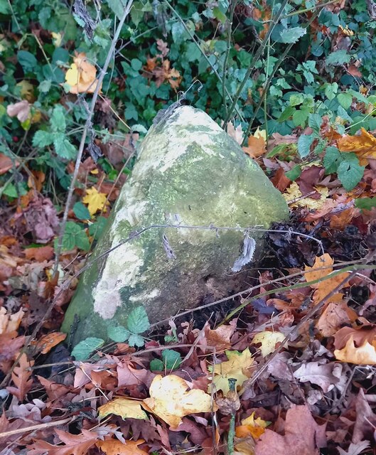
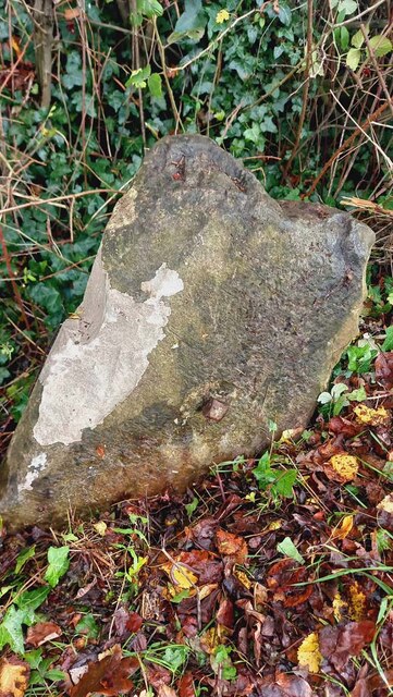
In addition to its natural beauty, Peter's Wood holds great historical significance. The remains of an ancient Roman road can be found at the edge of the forest, serving as a reminder of the area's rich past. Archaeological discoveries have also uncovered evidence of Iron Age settlements in the vicinity, adding to the wood's cultural significance.

Overall, Peter's Wood is a captivating destination that offers a unique blend of natural beauty and historical significance. Whether it's a leisurely stroll or a more adventurous hike, visitors to this enchanting forest are sure to be captivated by its charm.

If you have any feedback on the listing, please let us know in the comments section below.
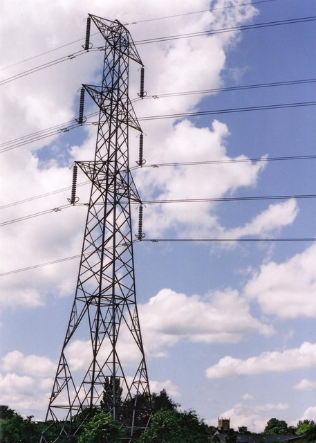
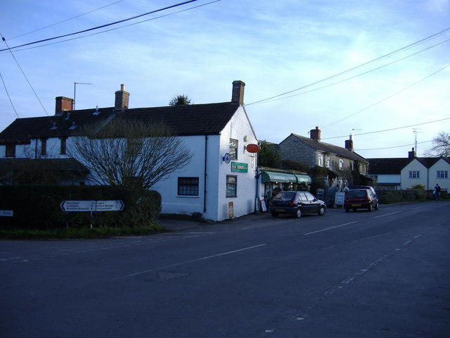
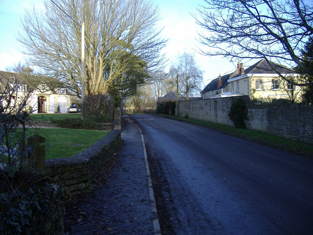
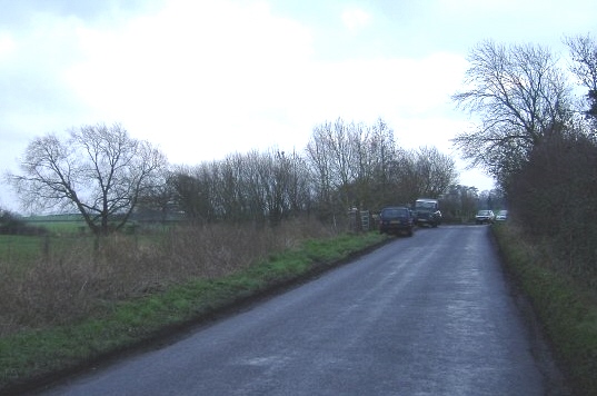
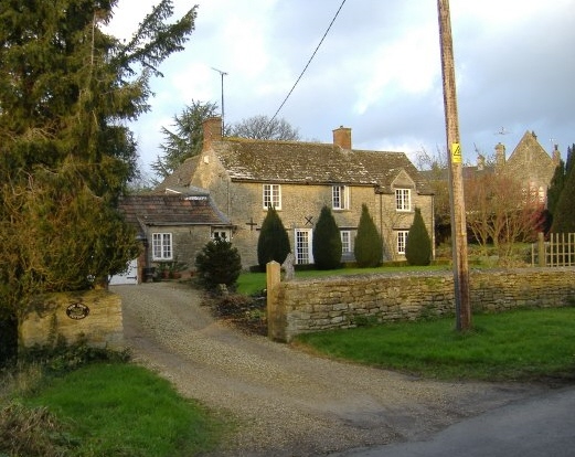
Peter's Wood Images

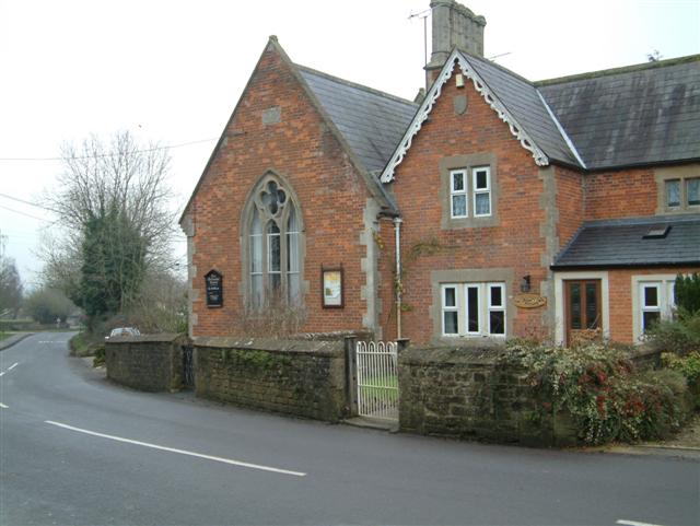
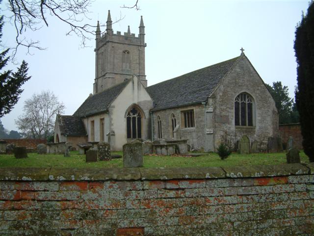
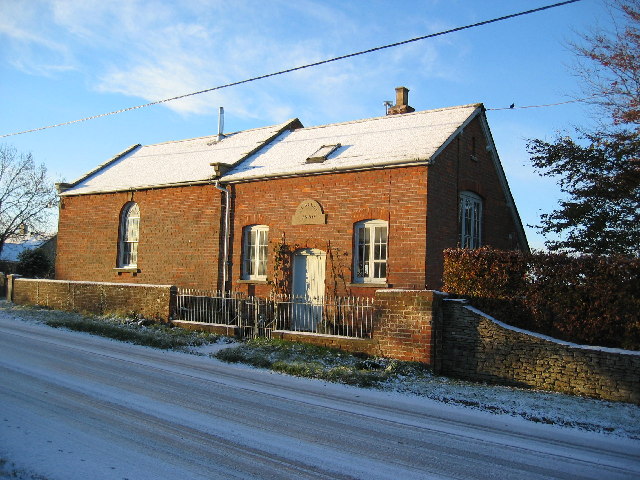
Images are sourced within 2km of 51.548038/-2.0575504 or Grid Reference ST9683. Thanks to Geograph Open Source API. All images are credited.

Milestone, Idover Demesne, Somerford On Idover Lane that was administered by the Malmesbury Third District Turnpike Trust in the 18/19ᵗʰ C.
The benchmark rivet hole can just be seen (representing 60.6 m ASL).

Inscription (was): Malmesbury 4 / Chippenham 11

Milestone Society National ID: WI_MYCP04
Milestone, Idover Demesne, Somerford
On Idover Lane that was administered by the Malmesbury Third District Turnpike Trust in the 18/19ᵗʰ C. The benchmark rivet hole can just be seen (representing 60.6 m ASL). Inscription (was): Malmesbury 4 / Chippenham 11 Milestone Society National ID: WI_MYCP04
Old Milestone, Great Somerford On the Eastern side of the road near Seagry Heath. In the parish of Great Somerford. Erected by the Draycot or Upper District Turnpike Trust.
Rivet Benchmark on top  representing 63.3 m ASL.

Inscription (was): Malmesbury 5 / Sutton Benger 2

Milestone Society ID: WI_MYSU05
Old Milestone, Great Somerford
On the Eastern side of the road near Seagry Heath. In the parish of Great Somerford. Erected by the Draycot or Upper District Turnpike Trust. Rivet Benchmark on top representing 63.3 m ASL. Inscription (was): Malmesbury 5 / Sutton Benger 2 Milestone Society ID: WI_MYSU05
St. John The Baptist, Little Somerford
St. Peter & St. Paul Church, Great Somerford
Methodist Church, Great Somerford
The Church of St. James the Great, Dauntsey
Startley, former Primitive Methodist Chapel
Sunset over straw bales
Pylon at Great Somerford
Winter afternoon at the crossroads, Great Somerford.
West Street, Great Somerford
View South, from the road to Startley. The M4 motorway hidden in the middle distance.
View South, from the road to Startley.
The M4 motorway hidden in the middle distance.
The road from Startley to Malmesbury.
Dauntsey rectory A grand house for a very small parish! (Now converted into apartments.)
Dauntsey rectory
A grand house for a very small parish! (Now converted into apartments.)
Yew tree farm Where Eastenders live?
Yew tree farm
Where Eastenders live?
The road to Dauntsey The road from Little Somerford passes under the main railway line from Paddington to South Wales.
The road to Dauntsey
The road from Little Somerford passes under the main railway line from Paddington to South Wales.
Somerford bridge Hunt followers strain to locate the Beaufort hunt on a winter's day.
Somerford bridge
Hunt followers strain to locate the Beaufort hunt on a winter's day.
Yew tree cottage One of the attractive houses within the Little Somerford conservation area.
Yew tree cottage
One of the attractive houses within the Little Somerford conservation area.
Show me another place!

Peter's Wood is located at Grid Ref: ST9683 (Lat: 51.548038, Lng: -2.0575504)

Unitary Authority: Wiltshire

Police Authority: Wiltshire

What 3 Words

///earlobe.laser.imparting. Near Malmesbury, Wiltshire

Nearby Locations

Peter's Wood Loes Belt

Related Wikis

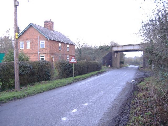
Great Somerford Halt railway station

Great Somerford Halt was a station on the Malmesbury Branch Line of the Great Western Railway in Wiltshire, England. It was open from 1877 to 1933 for...

Great Somerford

Great Somerford is a village and civil parish within Dauntsey Vale, Wiltshire, England, near the south bank of the river Avon. It lies approximately 3...

Little Somerford railway station

Little Somerford railway station served the village of Little Somerford, Wiltshire, England from 1903 to 1963. It was on the South Wales Main Line and...

Little Somerford

Little Somerford is a village and civil parish in Wiltshire, England, 3 miles (4.8 km) southeast of Malmesbury and 7.5 miles (12.1 km) northeast of Chippenham...

Brinkworth Brook

The Brinkworth Brook is a tributary of the Bristol Avon. It rises near Broad Hinton in Wiltshire in the West Country of England, and flows in a north...

Gauze Brook

The Gauze Brook is a stream in South West England, which rises near the village of Littleton Drew in Wiltshire and flows in a northeasterly direction for...

Rodbourne, St Paul Malmesbury Without

Rodbourne is a small village in Wiltshire, England, in the civil parish of St Paul Malmesbury Without about 2.5 miles (4.0 km) south of the town of Malmesbury...
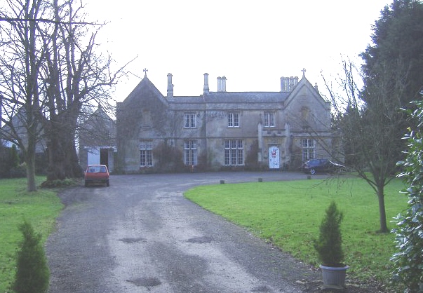
Cole Park

Cole Park is a Grade II* listed moated country house off Grange Lane, in the parish of St Paul Malmesbury Without, about 1+1⁄4 miles (2.0 km) south of...

Related Videos

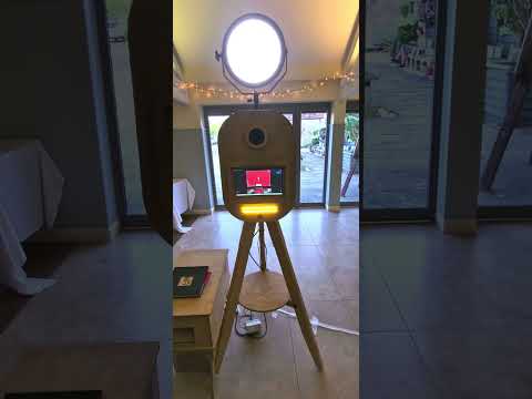
Wedding Vintage photo booth and Wedding disco at  @winkworthfarm  #weddingdj #weddingphotobooth

A brief video of our awesome wedding vintage photo booth and wedding disco setup at the awesome @winkworthfarm wedding ...

Nearby Amenities

Located within 500m of 51.548038,-2.0575504
Great Somerford
Is In: Wiltshire, England, UK
Place: village
Postal Code: SN15 5
Lat/Long: 51.5449821/-2.0526678
Barrier: stile
Lat/Long: 51.5447675/-2.0599454
Historic: memorial
Url: http://www.ukniwm.org.uk/server/show/conMemorial.24060/fromUkniwmSearch/1
Lat/Long: 51.5453392/-2.0546606
Barrier: stile
Lat/Long: 51.5482892/-2.0508524
Barrier: stile
Lat/Long: 51.5501997/-2.0623998
Post Box
Collection Times: Mo-Fr 16:15; Sa 09:00
Operator: Royal Mail
Post Box Type: lamp
Ref: SN15 67
Lat/Long: 51.5454197/-2.0548815
Building: bunker
Bunker Type: pillbox
Historic: ruins
Military: bunker
Note: Type FW3/24 with added 'porch' of brick and stone.
Ref: http://ads.ahds.ac.uk/catalogue/specColl/dob/ai_full_r.cfm?refno=13348
Lat/Long: 51.5476991/-2.0536687
Barrier: stile
Lat/Long: 51.5488818/-2.056546
Barrier: stile
Lat/Long: 51.5477039/-2.0512035
Barrier: stile
Lat/Long: 51.5474834/-2.053705
Bridge: yes
Lat/Long: 51.5463946/-2.0566576
Barrier: stile
Lat/Long: 51.5493515/-2.0598934
Great Somerford
Historic Railway: station
Railway: site
Source: OS 1:25k
Lat/Long: 51.5483768/-2.0512467
Give Way
Direction: forward
Lat/Long: 51.5452247/-2.0546856
Give Way
Direction: forward
Lat/Long: 51.5454243/-2.0545104
Give Way
Direction: backward
Lat/Long: 51.5453718/-2.0547733
The data included in this document is from www.openstreetmap.org. The data is made available under ODbL.

Have you been to Peter's Wood?

Leave your review of Peter's Wood below (or comments, questions and feedback).