Manor House Wood

Wood, Forest in Staffordshire Stafford

England

Manor House Wood

Balaams Lane leaving the B5066
Balaams Lane leaving the B5066 Credit: Mick Malpass

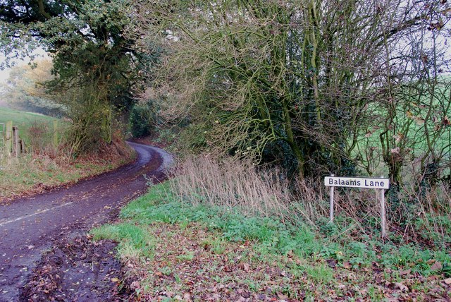
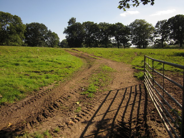
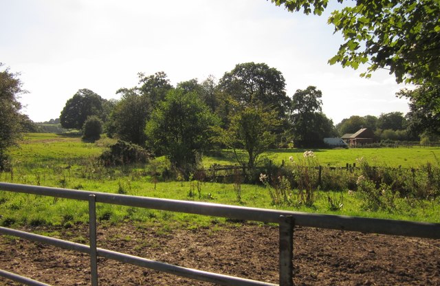
Manor House Wood, located in Staffordshire, is a picturesque woodland area known for its natural beauty and diverse ecosystem. Spanning over several acres, this forested area is a popular destination for nature enthusiasts and outdoor adventurers.

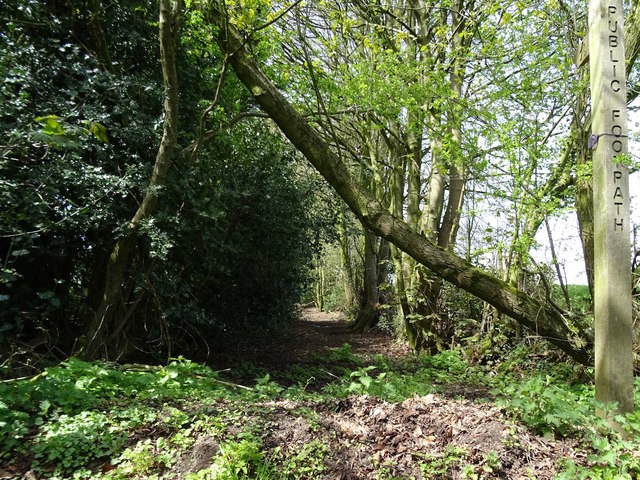
The wood is characterized by its dense canopy of tall trees, including oak, birch, and beech, which provide a cool and shaded environment throughout the year. The forest floor is covered with a lush carpet of moss, ferns, and wildflowers, creating a vibrant and colorful landscape.

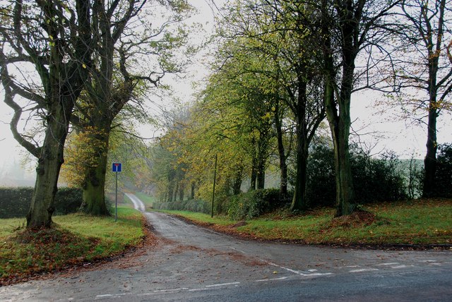
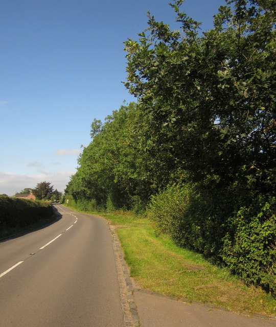
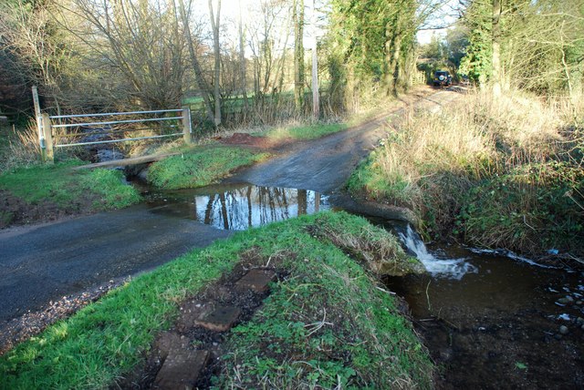
Walking trails meander through the wood, offering visitors the opportunity to explore the area and discover its hidden treasures. These well-maintained paths lead to secluded clearings, babbling brooks, and small ponds, providing a tranquil and peaceful atmosphere.

The wood is also home to a variety of wildlife, including deer, rabbits, and a wide range of bird species. Birdwatchers can spot woodpeckers, owls, and various songbirds, making it an ideal location for bird watching.

Manor House Wood is a haven for outdoor activities such as hiking, jogging, and picnicking. There are designated picnic spots with benches and tables, where visitors can enjoy a meal amidst the natural surroundings. The wood is particularly popular during the spring and summer months when the trees are in full bloom, and the wildlife is most active.

Overall, Manor House Wood offers a serene and enchanting escape from the hustle and bustle of everyday life, allowing visitors to reconnect with nature and appreciate the beauty of Staffordshire's woodlands.

If you have any feedback on the listing, please let us know in the comments section below.

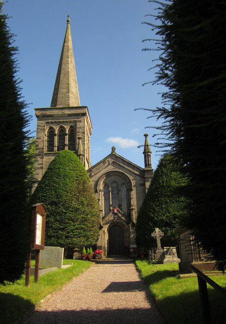
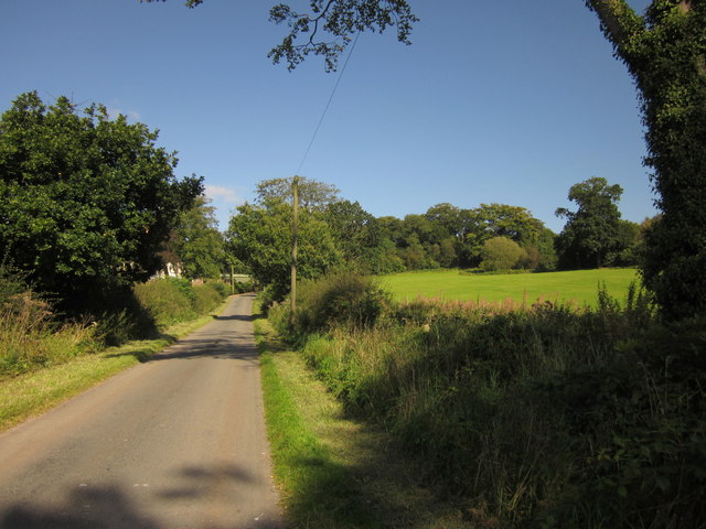
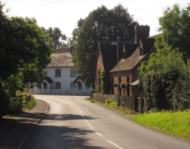
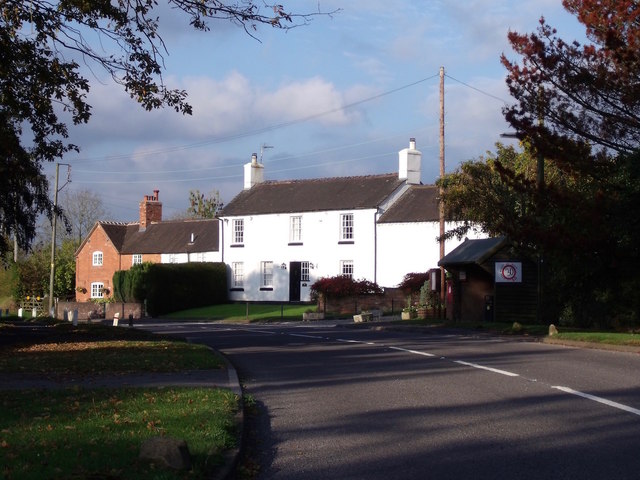
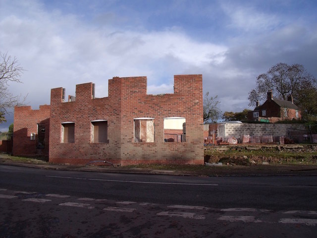
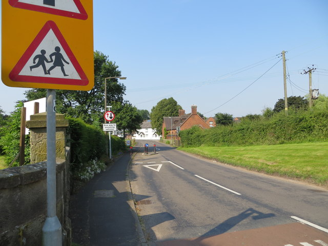
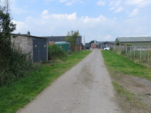
Manor House Wood Images

Images are sourced within 2km of 52.915062/-2.0608263 or Grid Reference SJ9635. Thanks to Geograph Open Source API. All images are credited.

Balaams Lane leaving the B5066
The Driveway to Spot Farm from the B5066
Looking across to Hilderstone Church
Maize near Hilderstone From the bend in the lane shown in <a href="https://www.geograph.org.uk/photo/199447">SJ9435 : Lane near Hilderstone</a>. The trees mark the line of the B5066.
Maize near Hilderstone
From the bend in the lane shown in SJ9435 : Lane near Hilderstone. The trees mark the line of the B5066.
Christ Church, Hilderstone Built in 1827-9 by Thomas Trubshaw <span class="nowrap"><a title="http://www.britishlistedbuildings.co.uk/en-272244-christ-church-hilderstone-staffordshire" rel="nofollow ugc noopener" href="http://www.britishlistedbuildings.co.uk/en-272244-christ-church-hilderstone-staffordshire">Link</a><img style="margin-left:2px;" alt="External link" title="External link - shift click to open in new window" src="https://s1.geograph.org.uk/img/external.png" width="10" height="10"/></span> .
Christ Church, Hilderstone
Built in 1827-9 by Thomas Trubshaw LinkExternal link .
Hall Lane Approaching <a href="https://www.geograph.org.uk/photo/459470">SJ9535 : Manor House, Hilderstone</a>. The wood on the right is named "New Forest" but is fairly modest in size.
Hall Lane
Approaching SJ9535 : Manor House, Hilderstone. The wood on the right is named "New Forest" but is fairly modest in size.
Field by Hall Lane An open gate into a pasture by the lane shown in <a href="https://www.geograph.org.uk/photo/3126295">SJ9535 : Hall Lane</a>. The trees ahead form an avenue across the park of Hilderstone Hall.
Field by Hall Lane
An open gate into a pasture by the lane shown in SJ9535 : Hall Lane. The trees ahead form an avenue across the park of Hilderstone Hall.
Cresswell Road, Hilderstone With the road meeting the B5066. On the far side of the junction are The Smithy and School House, early C19 gothic with pointed arched windows <span class="nowrap"><a title="http://www.britishlistedbuildings.co.uk/en-272250-the-smithy-and-school-house-hilderstone-" rel="nofollow ugc noopener" href="http://www.britishlistedbuildings.co.uk/en-272250-the-smithy-and-school-house-hilderstone-">Link</a><img style="margin-left:2px;" alt="External link" title="External link - shift click to open in new window" src="https://s1.geograph.org.uk/img/external.png" width="10" height="10"/></span> . On the right is Mistletoe House.
Cresswell Road, Hilderstone
With the road meeting the B5066. On the far side of the junction are The Smithy and School House, early C19 gothic with pointed arched windows LinkExternal link . On the right is Mistletoe House.
Towards Brook Farm Looking to the right from the same spot as <a href="https://www.geograph.org.uk/photo/3126311">SJ9534 : Field by Hall Lane</a>, looking across a small stream and pasture fields.
Towards Brook Farm
Looking to the right from the same spot as SJ9534 : Field by Hall Lane, looking across a small stream and pasture fields.
B5066 approaching Hilderstone Sandon Road, seen near Rose Cottage.
B5066 approaching Hilderstone
Sandon Road, seen near Rose Cottage.
Garshall Green Ford This ford on Wheatlow Brook is found beside Brookhouse Farm at Garshall Green.
Garshall Green Ford
This ford on Wheatlow Brook is found beside Brookhouse Farm at Garshall Green.
Hilderstone: Roebuck Inn
Mill House Mill House is a grade-2 listed building, also known as "Stone's Throw". The Hilderstone Conservation Area Appraisal describes it thus: "This late 18th century house has an asymmetrical four-bay frontage suggesting an evolution from an earlier building. To the right is the plain elevation of a former outbuilding, which serves as a prominent reminder of the agricultural and industrial origins of the village. Its white painted rendered elevations are a recent replacement for roughcast and give it an air of status".
Mill House
Mill House is a grade-2 listed building, also known as "Stone's Throw". The Hilderstone Conservation Area Appraisal describes it thus: "This late 18th century house has an asymmetrical four-bay frontage suggesting an evolution from an earlier building. To the right is the plain elevation of a former outbuilding, which serves as a prominent reminder of the agricultural and industrial origins of the village. Its white painted rendered elevations are a recent replacement for roughcast and give it an air of status".
Development at the old Bird in Hand A new brick skin seems to have been added to what little remains of the old pub. The ultimate intention is to create 6 mews cottages.
Development at the old Bird in Hand
A new brick skin seems to have been added to what little remains of the old pub. The ultimate intention is to create 6 mews cottages.
Old track at Hilderstone This old track appears on the 1856 Ordnance Survey map running somewhat further into the fields than it does now. What remains of it is now part of a public footpath.
Old track at Hilderstone
This old track appears on the 1856 Ordnance Survey map running somewhat further into the fields than it does now. What remains of it is now part of a public footpath.
Ordnance Survey Flush Bracket S9298 This can be found on the wall of Christ Church at Hilderstone.
For more detail see : <span class="nowrap"><a title="http://www.bench-marks.org.uk/bm19212" rel="nofollow ugc noopener" href="http://www.bench-marks.org.uk/bm19212">Link</a><img style="margin-left:2px;" alt="External link" title="External link - shift click to open in new window" src="https://s1.geograph.org.uk/img/external.png" width="10" height="10"/></span>
Ordnance Survey Flush Bracket S9298
This can be found on the wall of Christ Church at Hilderstone. For more detail see : LinkExternal link
Cresswell Road in Hilderstone Looking south-westward from the entrance to Christ Church.
Cresswell Road in Hilderstone
Looking south-westward from the entrance to Christ Church.
Track to New Buildings farm Looking westward.
Track to New Buildings farm
Looking westward.
Show me another place!

Manor House Wood is located at Grid Ref: SJ9635 (Lat: 52.915062, Lng: -2.0608263)

Administrative County: Staffordshire

District: Stafford

Police Authority: Staffordshire

What 3 Words

///inversion.upstarts.latest. Near Stone, Staffordshire

Related Wikis

Hilderstone

Hilderstone is a village and a civil parish in the English county of Staffordshire. == Location == The village is 8.6 miles (13.8 km) north of the town...

Fulford, Staffordshire

Fulford is a village and civil parish about 5 miles (8 km) north east of Stone, in the Stafford district, in the county of Staffordshire, England. The...

Milwich

Milwich is a village and a civil parish in the English county of Staffordshire. == Location == The village is 7.8 miles (12.6 km) north east of the town...

Moddershall

Moddershall is a small village in the borough of Stafford in the county of Staffordshire, England, part of the civil parish of Stone Rural and ecclesiastical...

Stone Rural

Stone Rural is a civil parish in the Stafford district, in the county of Staffordshire, England. The parish includes the settlements of Aston-By-Stone...

Coton Hill, Staffordshire

Coton Hill is a hamlet in the English county of Staffordshire. Coton Hill is located east of the village of Milwich on the B5027 road between Stone and...

Cresswell railway station

Cresswell railway station was a railway station located on the Stoke-Derby line at Cresswell, Staffordshire, England. It was opened by the North Staffordshire...

Cresswell, Staffordshire

Cresswell is a hamlet in Staffordshire, England. It is approximately one mile SE of Blythe Bridge and has a population of approximately 300. From the 2011...

Related Videos

WARRIOR: THE STORY SO FAR

SHARE YOUR LOVE WITH A CF WARRIOR THIS VALENTINE'S I'm so happy to announce that you can now pre-order WARRIOR ...

Fine Dining On A Train Pullman Carriage By Far The Best Sirloin Steak In England 1st Class

FineDining On A #Train The #PullmanCarriage By Far The #Best #Sirloin #Steak In #England #1stClass ...

WARRIOR: LIVE & STRIPPED BACK

THANK YOU FOR ALL YOUR SUPPORT Thank you for all your love and support for our #Warrior campaign. We've been touched ...

When did you last see your accountant?

Once or twice a year isn't enough. You need real time accounting. Especially if you are a small or medium sized business.

Nearby Amenities

Located within 500m of 52.915062,-2.0608263
The data included in this document is from www.openstreetmap.org. The data is made available under ODbL.

Have you been to Manor House Wood?

Leave your review of Manor House Wood below (or comments, questions and feedback).