Bitham Wood
Wood, Forest in Wiltshire
England
Bitham Wood
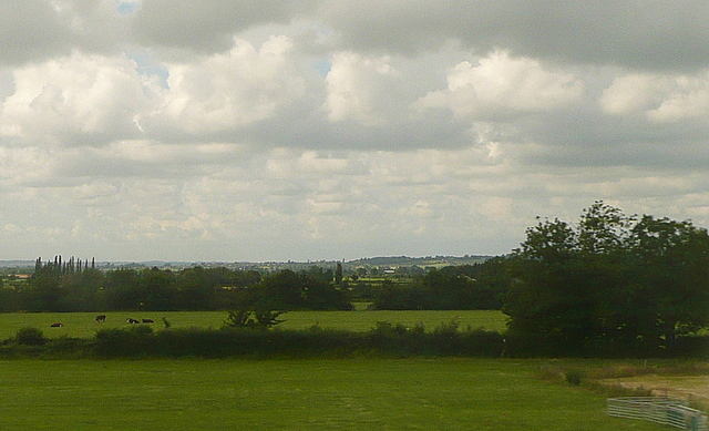
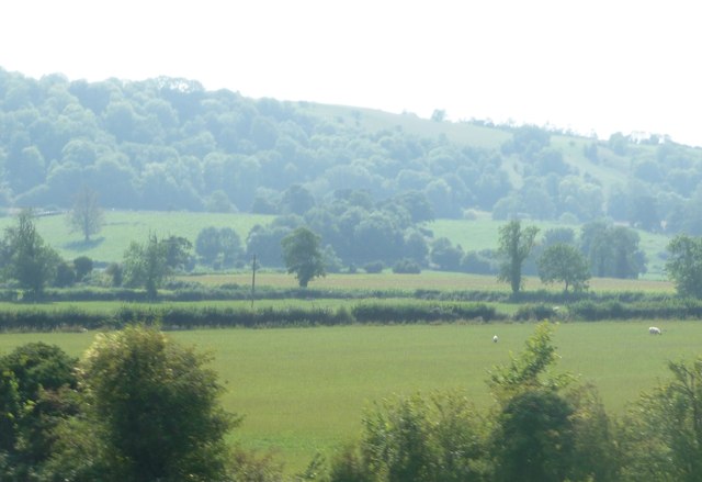
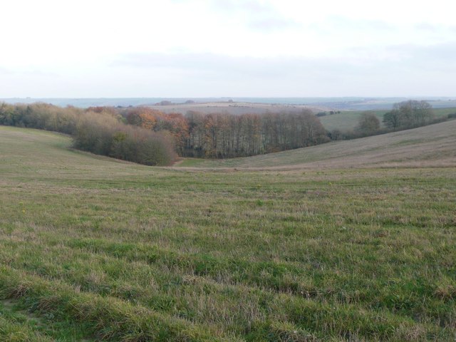
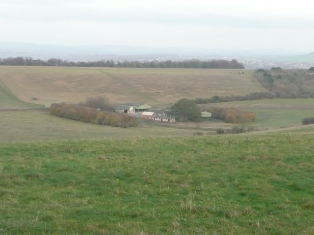
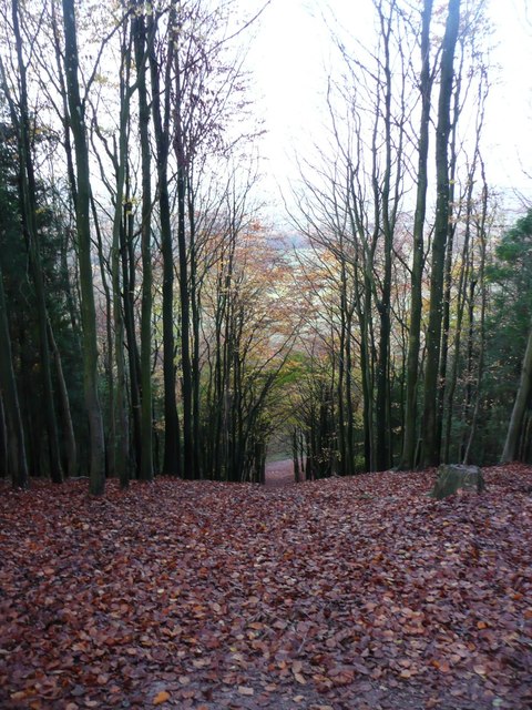
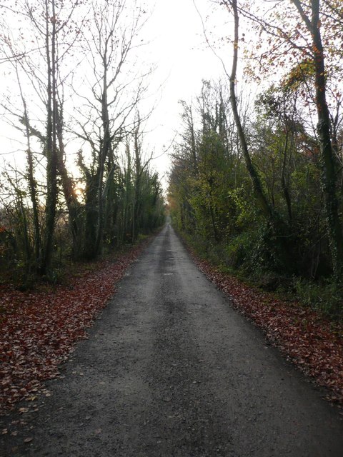
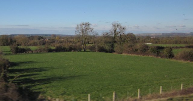
Bitham Wood is a picturesque forest located in the county of Wiltshire, England. Covering an area of approximately 200 acres, it is a haven for nature enthusiasts and a popular destination for leisurely walks and outdoor activities. The wood is situated near the village of Westbury, offering a tranquil escape from the hustle and bustle of urban life.
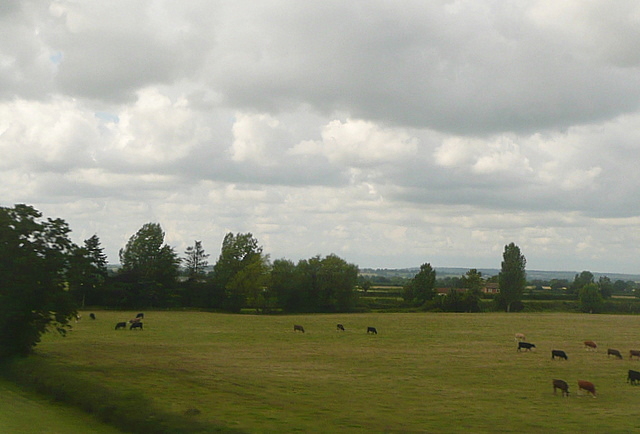
Bitham Wood boasts a diverse range of flora and fauna, making it an important ecological site. The forest is predominantly composed of broadleaf trees, such as oak, ash, and beech. These majestic trees provide a dense canopy, creating a shaded and cool environment within the wood. The forest floor is adorned with a carpet of bluebells during the spring season, adding a burst of color to the landscape.
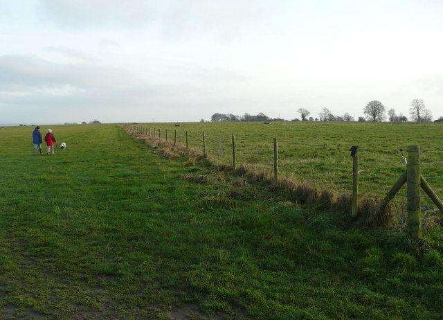
Several well-maintained footpaths and trails crisscross the wood, allowing visitors to explore its natural beauty at their own pace. These paths lead to hidden glades, clearings, and small streams, providing a sense of adventure and discovery. Wildlife is abundant in Bitham Wood, with sightings of deer, foxes, rabbits, and a variety of bird species being common occurrences.
The wood is managed by a local conservation group, ensuring its preservation and protection. It also serves as an educational resource, with guided tours and educational programs organized for schools and community groups. Additionally, the forest provides a valuable recreational space for locals and visitors, who can indulge in activities such as birdwatching, photography, or simply enjoying a picnic amidst the peaceful surroundings.
Overall, Bitham Wood offers a tranquil retreat for nature lovers, providing a glimpse into the beauty and serenity of the English countryside.
If you have any feedback on the listing, please let us know in the comments section below.
Bitham Wood Images
Images are sourced within 2km of 51.277406/-2.0618838 or Grid Reference ST9553. Thanks to Geograph Open Source API. All images are credited.
Bitham Wood is located at Grid Ref: ST9553 (Lat: 51.277406, Lng: -2.0618838)
Unitary Authority: Wiltshire
Police Authority: Wiltshire
What 3 Words
///homeward.heeding.test. Near Erlestoke, Wiltshire
Nearby Locations
Related Wikis
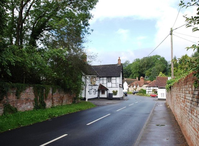
Erlestoke
Erlestoke is a village and civil parish in Wiltshire, England, on the northern edge of Salisbury Plain. The village lies about 6 miles (10 km) east of...

Baynton House
Baynton House is a Grade II listed 17th-century country house at Coulston, Wiltshire, England, about 5 miles (8 km) northeast of the town of Westbury....

Coulston
Coulston (until 1934 called East Coulston) is a village and civil parish in Wiltshire, England, five miles northeast of the town of Westbury, just north...

Wessex Ridgeway
The Wessex Ridgeway is a long-distance footpath in southwest England. It runs 136 miles (219 km) from Marlborough in Wiltshire to Lyme Regis in Dorset...

HM Prison Erlestoke
HM Prison Erlestoke is a Category C men's prison, to the east of the village of Erlestoke in Wiltshire, England. Erlestoke is operated by His Majesty's...
Great Cheverell Hill
Great Cheverell Hill (grid reference ST966520) is a 33.2 hectare biological Site of Special Scientific Interest at Great Cheverell in Wiltshire, notified...
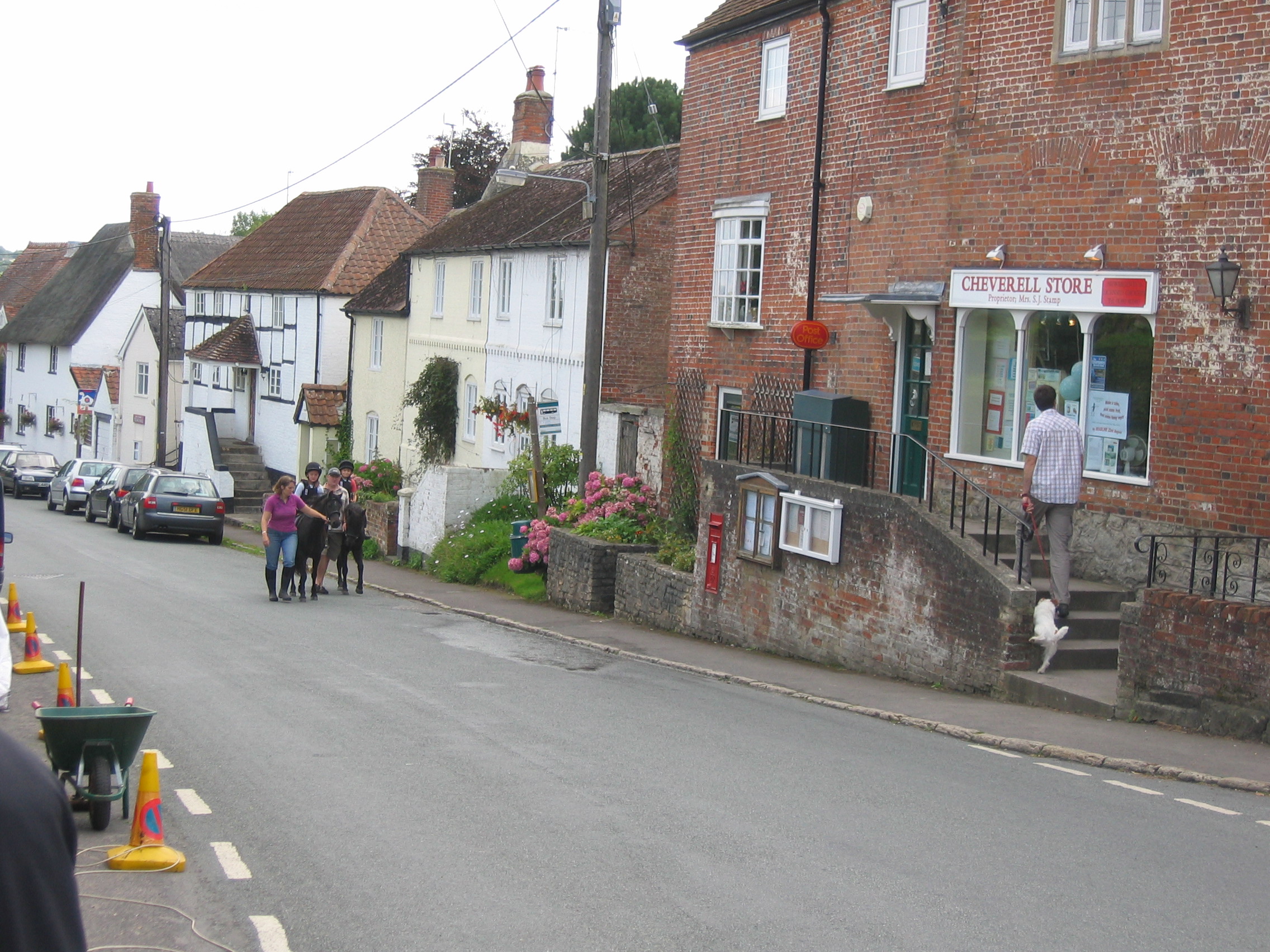
Great Cheverell
Great Cheverell is a village and civil parish in Wiltshire, England, 5 miles (8.0 km) south of Devizes. In some sources the Latinized name of Cheverell...

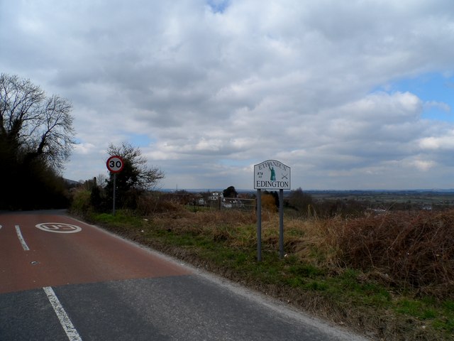
Edington, Wiltshire
Edington is a village and civil parish in Wiltshire, England, about 4 miles (6 km) east-northeast of Westbury. The village lies under the north slope of...
Have you been to Bitham Wood?
Leave your review of Bitham Wood below (or comments, questions and feedback).