Well Bottom Plantation
Wood, Forest in Wiltshire
England
Well Bottom Plantation
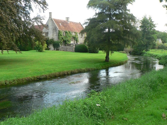
Well Bottom Plantation is a picturesque woodland located in Wiltshire, England. Situated in the heart of the county, it covers an area of approximately 100 hectares. The plantation is a part of the larger Well Bottom Forest, which spans across several neighboring towns.
This woodland is characterized by its diverse range of tree species, including oak, beech, ash, and birch. The dense canopy of the trees provides a cool and serene atmosphere, making it a popular spot for nature enthusiasts and hikers. The forest floor is covered with a rich carpet of ferns, wildflowers, and mosses, adding to its natural beauty.
Well Bottom Plantation is also home to a variety of wildlife. It serves as a habitat for numerous bird species, such as woodpeckers, owls, and songbirds. The forest is also known to host small mammals like foxes, badgers, and squirrels. The presence of a small stream running through the woodland attracts a diverse range of aquatic life, including frogs and newts.
Due to its natural beauty and biodiversity, Well Bottom Plantation has been designated as a Site of Special Scientific Interest (SSSI) by the local authorities. This designation ensures the protection and preservation of the woodland's unique flora and fauna.
The plantation is open to the public, offering designated walking trails that allow visitors to explore and appreciate the natural wonders of the area. It provides a tranquil escape from the bustling urban life, offering an opportunity to reconnect with nature.
If you have any feedback on the listing, please let us know in the comments section below.
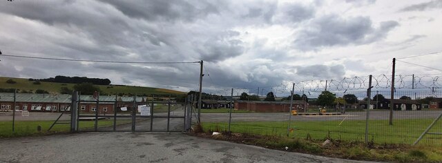
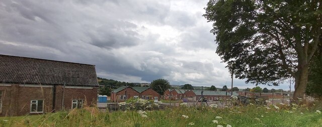
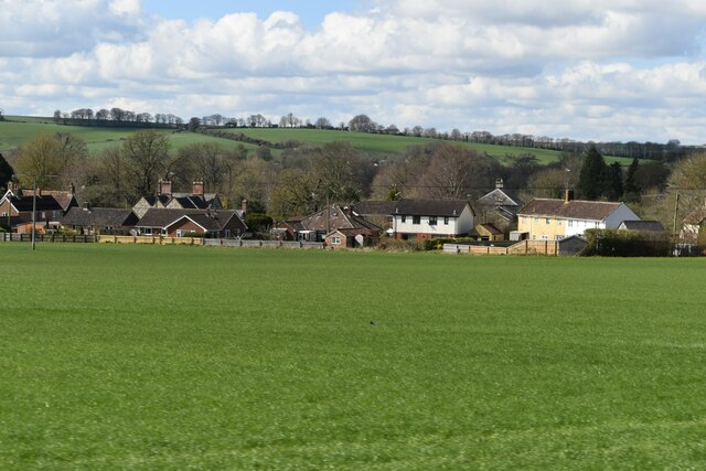
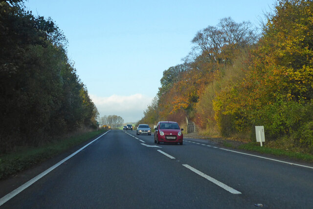
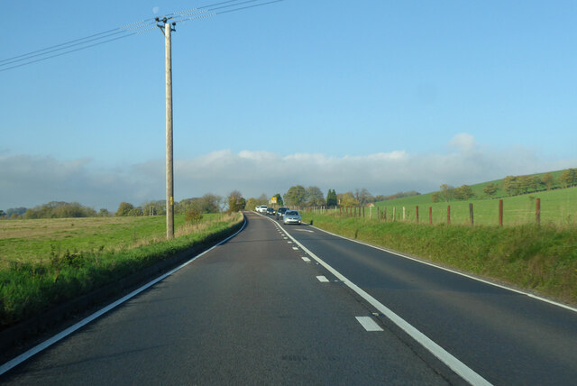
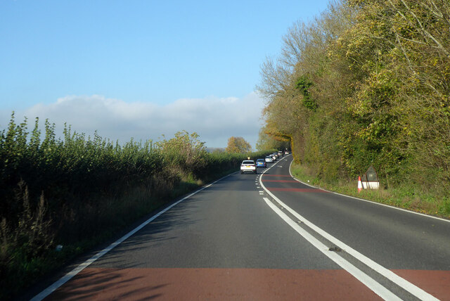
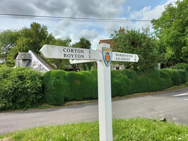
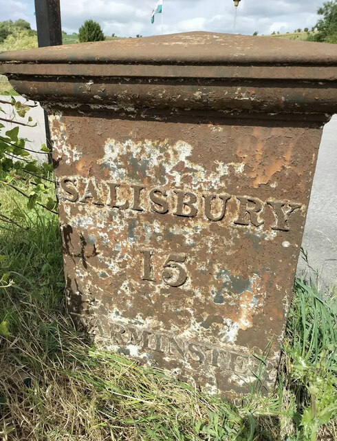
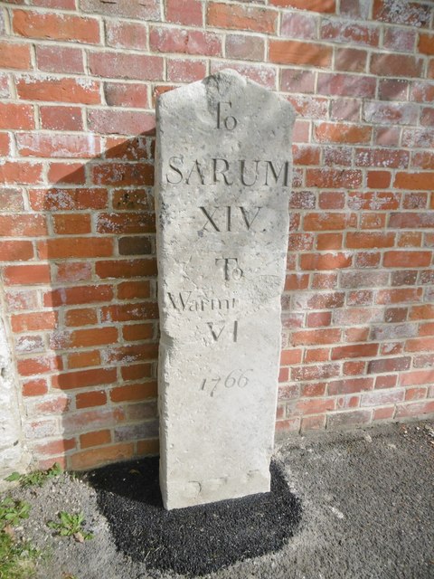
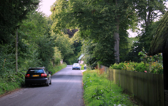
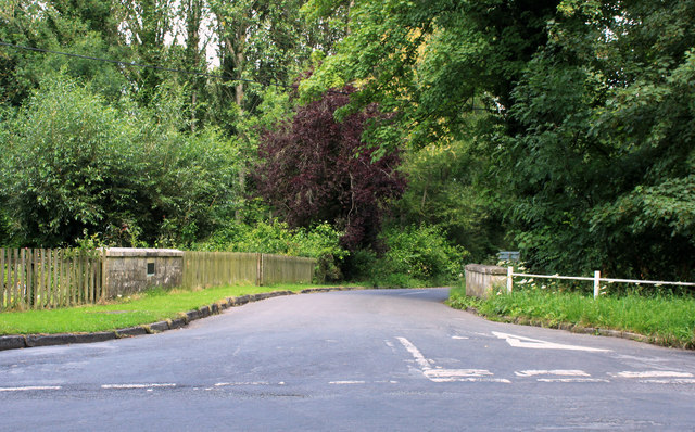
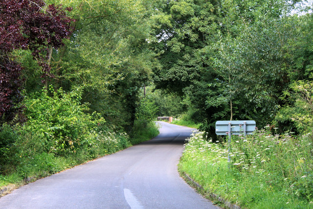
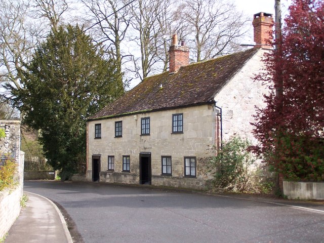
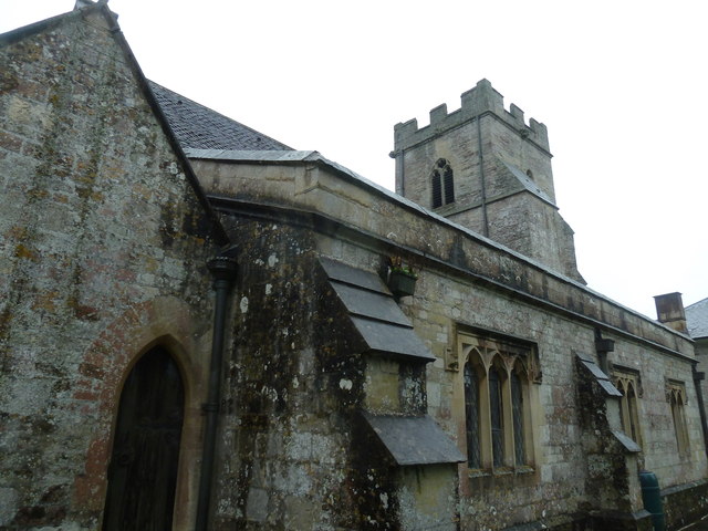
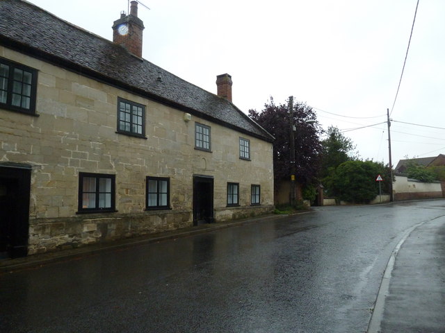
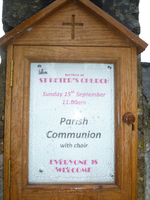
Well Bottom Plantation Images
Images are sourced within 2km of 51.173738/-2.0627742 or Grid Reference ST9541. Thanks to Geograph Open Source API. All images are credited.
Well Bottom Plantation is located at Grid Ref: ST9541 (Lat: 51.173738, Lng: -2.0627742)
Unitary Authority: Wiltshire
Police Authority: Wiltshire
What 3 Words
///lentil.juggled.scrubber. Near Boyton, Wiltshire
Nearby Locations
Related Wikis

Upton Lovell
Upton Lovell is a village and civil parish in Wiltshire, England. It lies on the A36, in the Wylye valley about 5 miles (8.0 km) southeast of Warminster...
Greenways School
Greenways School, also known as Greenways Preparatory School, was an English prep school, founded at Bognor Regis, Sussex, before the Second World War...

Codford railway station
Codford railway station was an intermediate station on the Salisbury branch line of the Great Western Railway built along the Wylye valley to connect Warminster...
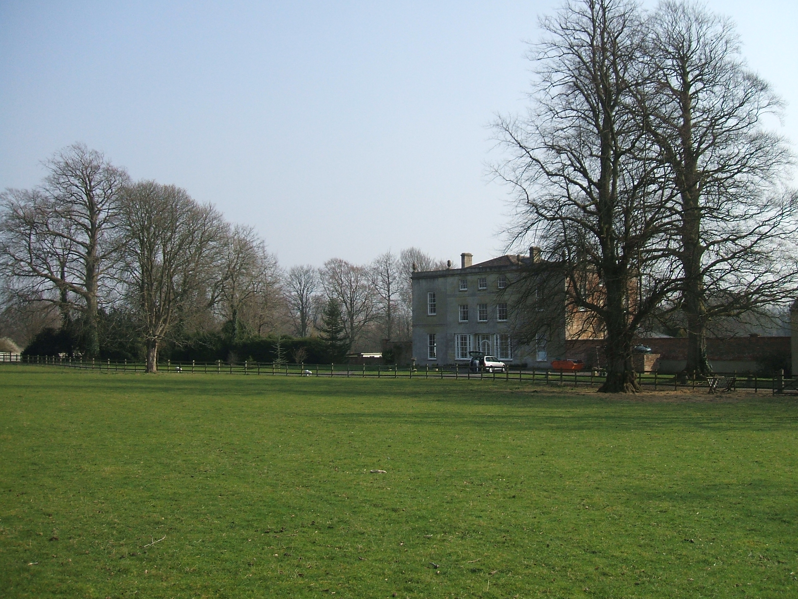
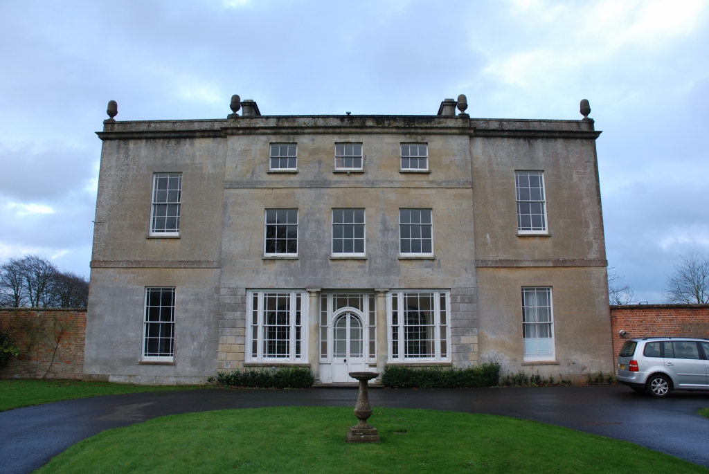
Ashton Gifford House
Ashton Gifford House is a Grade II listed country house in the hamlet of Ashton Gifford, part of the civil parish of Codford in the English county of Wiltshire...
Knook
Knook is a small village and civil parish in Wiltshire, England. The village lies to the north of the River Wylye at the edge of Salisbury Plain, about...
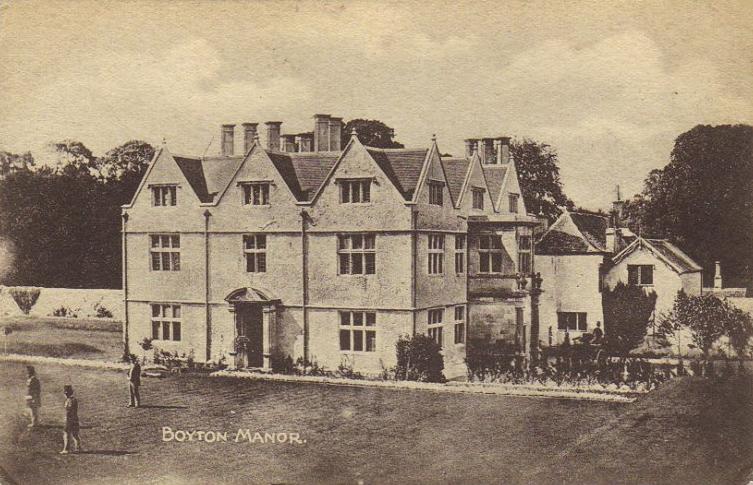
Boyton, Wiltshire
Boyton is a village and civil parish in Wiltshire, England. It lies in the Wylye Valley within Salisbury Plain, about 6 miles (10 km) south-east of Warminster...

Woolstore Theatre
The Woolstore Theatre is a theatre in the village of Codford, Wiltshire, England. The theatre has been operating since 1928, when it was built by Colonel...

Codford
Codford is a civil parish south of Salisbury Plain in the Wylye Valley in Wiltshire, England. Its settlements are the adjacent villages of Codford St Peter...
Related Videos

2nd June Chitterne Anstey ........
In the woods tis lovely ☕️☕️

18th July sleepy head🚐☕️☕️👍🏼🏴🌈🙏🏼💙❤️💙❤️
And relax........

Corton Long Barrow
A short video about Corton Long Barrow, near the village of Corton, Wiltshire. Sorry about the noise from the wind.

Evening walk with our dogs
Portuguese Estrela and Caucasian Sheppard strolling through Wiltshire country side.
Nearby Amenities
Located within 500m of 51.173738,-2.0627742Have you been to Well Bottom Plantation?
Leave your review of Well Bottom Plantation below (or comments, questions and feedback).