Horsemoor Wood
Wood, Forest in Staffordshire South Staffordshire
England
Horsemoor Wood
Horsemoor Wood is a picturesque woodland located in Staffordshire, England. Covering an area of approximately 200 acres, it is a popular destination for nature enthusiasts and outdoor lovers alike. The wood is characterized by its diverse range of tree species, including oak, birch, and beech, creating a rich and vibrant landscape.
The woodland is home to a variety of wildlife, providing a haven for numerous species. Visitors may spot deer, foxes, rabbits, and a wide array of birdlife, making it a haven for birdwatchers. The tranquil atmosphere and peaceful surroundings make Horsemoor Wood an ideal location for those seeking a peaceful retreat.
The wood offers a network of walking trails, allowing visitors to explore its beauty at their own pace. These paths wind their way through the woodland, showcasing the natural beauty of the area. During spring, the forest floor becomes carpeted with bluebells, creating a stunning display of color.
Horsemoor Wood also offers several amenities for visitors, including picnic areas and designated areas for camping. It is a popular spot for families and groups to gather and enjoy the great outdoors. Additionally, there are educational programs and guided nature walks available for those interested in learning more about the wood's ecosystem.
Overall, Horsemoor Wood is a charming woodland in Staffordshire, offering a peaceful escape from the hustle and bustle of everyday life. With its diverse range of flora and fauna, it provides a delightful experience for nature enthusiasts and a place of tranquility for all who visit.
If you have any feedback on the listing, please let us know in the comments section below.
Horsemoor Wood Images
Images are sourced within 2km of 52.704905/-2.0792836 or Grid Reference SJ9411. Thanks to Geograph Open Source API. All images are credited.
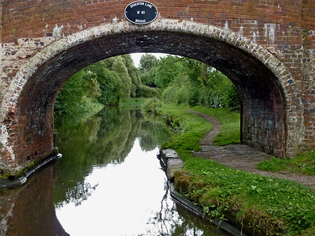
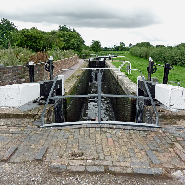
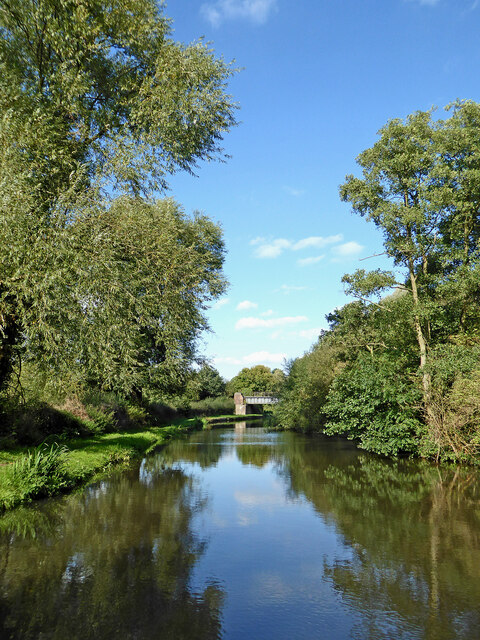
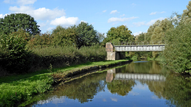
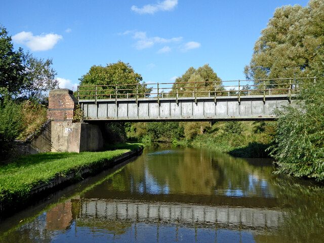
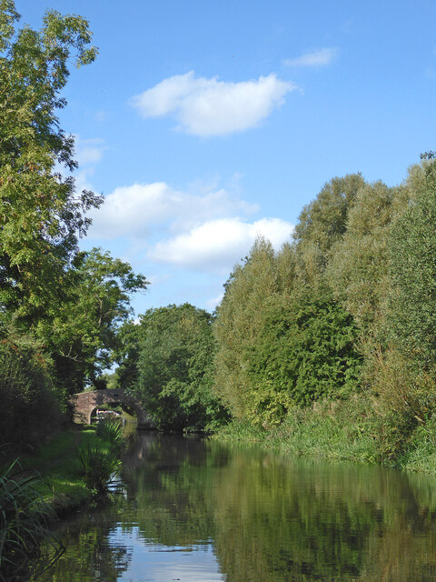
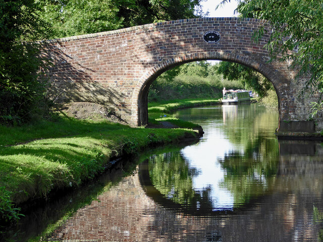
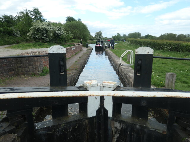
![Approaching Otherton Lane bridge [no 81] The Staffs and Worcs canal, south of Penkridge. The towpath here forms part of the Cross Britain Way as well as being a traffic-free cycle route.](https://s3.geograph.org.uk/geophotos/07/39/99/7399943_542e55e1.jpg)
Horsemoor Wood is located at Grid Ref: SJ9411 (Lat: 52.704905, Lng: -2.0792836)
Administrative County: Staffordshire
District: South Staffordshire
Police Authority: Staffordshire
What 3 Words
///dull.bonds.tilt. Near Penkridge, Staffordshire
Nearby Locations
Related Wikis
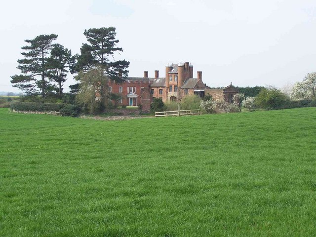
Pillaton Hall
Pillaton Hall was an historic house located in Pillaton, Staffordshire, near Penkridge, England. For more than two centuries it was the seat of the Littleton...

Pillaton, Staffordshire
Pillaton is a small village in Staffordshire, England, nearby to Penkridge and lying on the B5012 road between Cannock and Penkridge. It falls under the...

Cuttleston
Cuttleston or Cuttlestone is a hundred in the county of Staffordshire, England, located in the centre of that county, south of Stafford. Cuttleston was...

Hatherton, Staffordshire
Hatherton is a settlement and civil parish located 3+1⁄4 miles (5.2 km) south-east of Penkridge, and on the western edge of modern-day Cannock, Staffordshire...
Have you been to Horsemoor Wood?
Leave your review of Horsemoor Wood below (or comments, questions and feedback).