Hayes Copse

Wood, Forest in Wiltshire

England

Hayes Copse

St Catherine, Sedgehill: late August 2016
St Catherine, Sedgehill: late August 2016 Credit: Basher Eyre

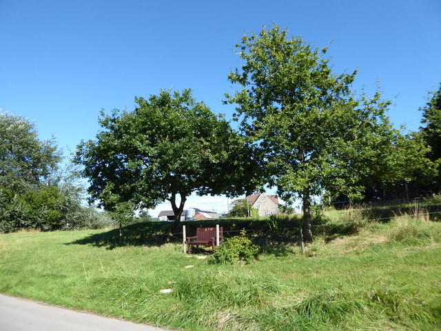
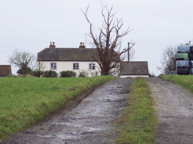
Hayes Copse is a charming wood located in the county of Wiltshire, England. Situated near the village of East Knoyle, this forested area covers approximately 20 hectares of land. The copse is known for its diverse ecosystem and rich biodiversity, making it a popular destination for nature enthusiasts and hikers.

The woodland is predominantly composed of deciduous trees, including oak, ash, and beech, which create a dense canopy overhead. The forest floor is covered in a lush carpet of ferns, mosses, and wildflowers, providing a picturesque and serene atmosphere. Numerous footpaths meander through the copse, allowing visitors to explore its natural wonders and discover hidden gems.

Hayes Copse is home to a variety of wildlife, including deer, badgers, foxes, and a wide array of bird species. It provides a vital habitat for these creatures, offering shelter, food, and nesting opportunities. Birdwatchers often flock to the area to catch a glimpse of rare species such as woodpeckers, owls, and warblers.

The copse is managed by local authorities, who ensure its preservation and maintenance. Regular conservation efforts take place, including tree planting and invasive species control, to maintain the integrity of the woodland. The area is also utilized for educational purposes, with schools and nature groups organizing field trips to teach students about the importance of forests and their role in the ecosystem.

Overall, Hayes Copse is a natural gem in Wiltshire, offering a peaceful escape from the hustle and bustle of daily life. Its beauty and ecological significance make it a cherished destination for both locals and visitors alike.

If you have any feedback on the listing, please let us know in the comments section below.
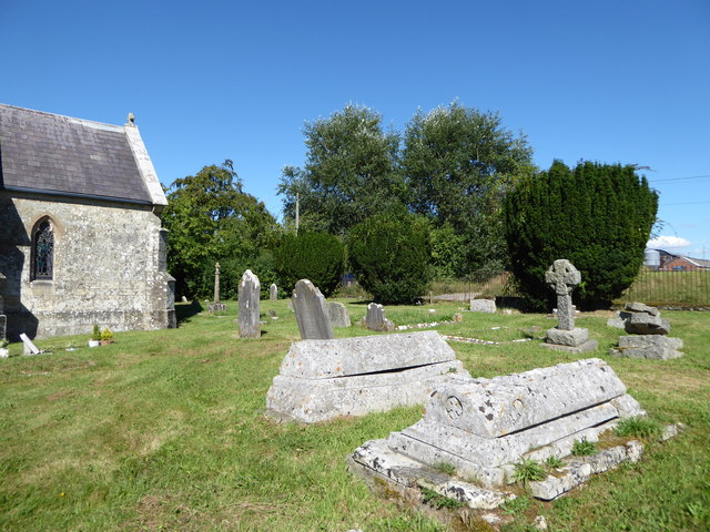
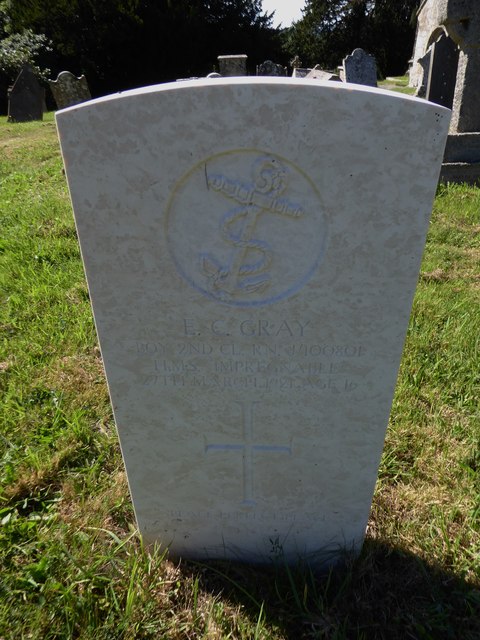
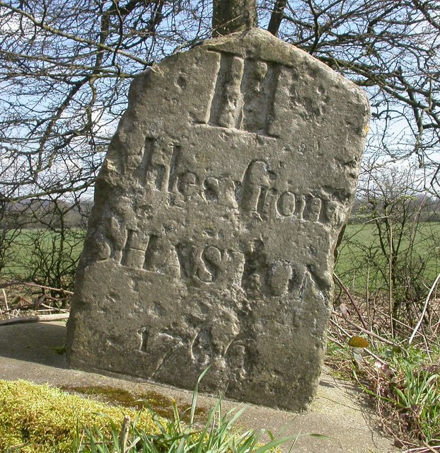
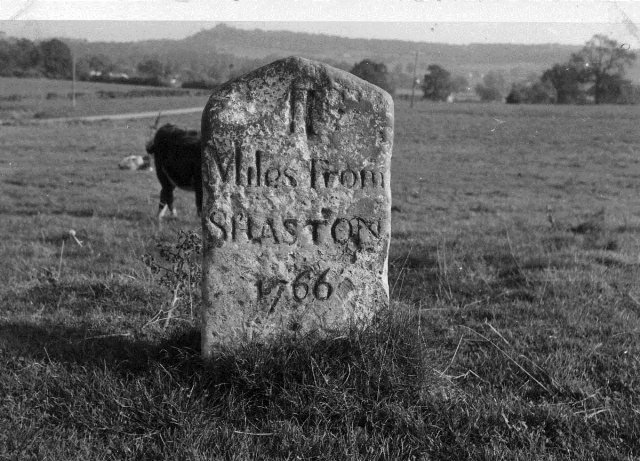
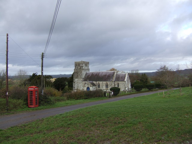
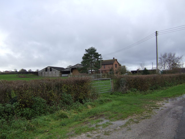
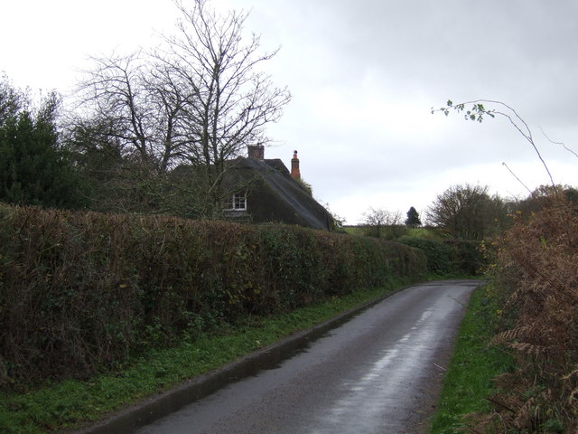
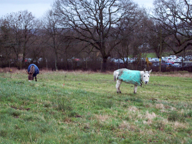
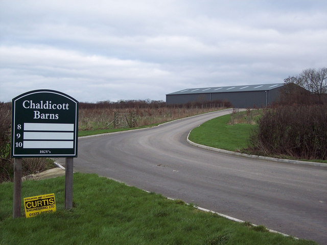
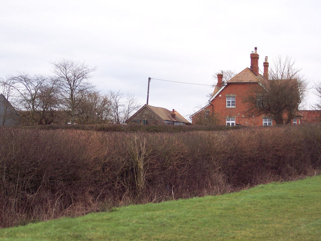
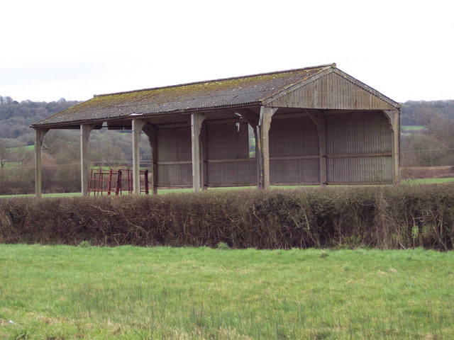
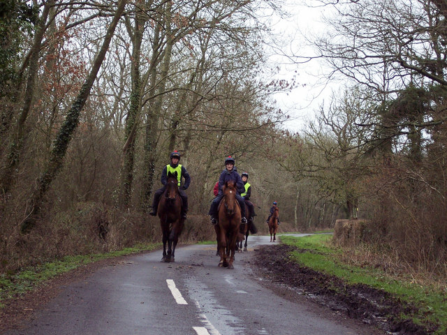
Hayes Copse Images

Images are sourced within 2km of 51.046872/-2.1977214 or Grid Reference ST8627. Thanks to Geograph Open Source API. All images are credited.

St Catherine, Sedgehill: late August 2016
Rush hour in Sedgehill
St Catherine, Sedgehill: churchyard (1)
St Catherine, Sedgehill: churchyard (2)
St Catherine, Sedgehill: churchyard (3) Also see <span class="nowrap"><a title="https://en.wikipedia.org/wiki/Priscilla_Napier" rel="nofollow ugc noopener" href="https://en.wikipedia.org/wiki/Priscilla_Napier">Link</a><img style="margin-left:2px;" alt="External link" title="External link - shift click to open in new window" src="https://s1.geograph.org.uk/img/external.png" width="10" height="10"/></span> <span class="nowrap"><a title="http://uboat.net/allies/commanders/1815.html" rel="nofollow ugc noopener" href="http://uboat.net/allies/commanders/1815.html">Link</a><img style="margin-left:2px;" alt="External link" title="External link - shift click to open in new window" src="https://s1.geograph.org.uk/img/external.png" width="10" height="10"/></span> and <span class="nowrap"><a title="http://www.cwgc.org/find-war-dead/casualty/2710207/NAPIER,%20TREVYLYAN%20MICHAEL" rel="nofollow ugc noopener" href="http://www.cwgc.org/find-war-dead/casualty/2710207/NAPIER,%20TREVYLYAN%20MICHAEL">Link</a><img style="margin-left:2px;" alt="External link" title="External link - shift click to open in new window" src="https://s1.geograph.org.uk/img/external.png" width="10" height="10"/></span>
St Catherine, Sedgehill: churchyard (3)
Also see LinkExternal link LinkExternal link and LinkExternal link
St Catherine, Sedgehill: churchyard (4)
St Catherine, Sedgehill: churchyard (5) Also see <span class="nowrap"><a title="http://www.cwgc.org/find-war-dead/casualty/405789/GRAY,%20E%20C" rel="nofollow ugc noopener" href="http://www.cwgc.org/find-war-dead/casualty/405789/GRAY,%20E%20C">Link</a><img style="margin-left:2px;" alt="External link" title="External link - shift click to open in new window" src="https://s1.geograph.org.uk/img/external.png" width="10" height="10"/></span>
St Catherine, Sedgehill: churchyard (5)
Also see LinkExternal link
Old Milestone by the A350, Sedgehill and Semley Parish Carved stone post by the A350, in parish of SEDGEHILL AND SEMLEY (SALISBURY District), 200m North of turning to Sedgehill on verge, by the road, on East side of road. Shaston stone, erected by the Shaftesbury & New Road to Blandford turnpike trust in the 18th century. 

Inscription reads:-
: (SEDGEHILL) : : III / Miles from / SHA(S)TON / 1766 : : (SEDGEHILL) : 

Grade II listed. List Entry Number: 1131126
<span class="nowrap"><a title="https://historicengland.org.uk/listing/the-list/list-entry/1131126" rel="nofollow ugc noopener" href="https://historicengland.org.uk/listing/the-list/list-entry/1131126">Link</a><img style="margin-left:2px;" alt="External link" title="External link - shift click to open in new window" src="https://s1.geograph.org.uk/img/external.png" width="10" height="10"/></span>

Milestone Society National ID: WI_WMSH12.
Old Milestone by the A350, Sedgehill and Semley Parish
Carved stone post by the A350, in parish of SEDGEHILL AND SEMLEY (SALISBURY District), 200m North of turning to Sedgehill on verge, by the road, on East side of road. Shaston stone, erected by the Shaftesbury & New Road to Blandford turnpike trust in the 18th century. Inscription reads:- : (SEDGEHILL) : : III / Miles from / SHA(S)TON / 1766 : : (SEDGEHILL) : Grade II listed. List Entry Number: 1131126 LinkExternal link Milestone Society National ID: WI_WMSH12.
Old Milestone by the A350, Semley Common Shaston stone by the A350, in parish of Sedgehill and Semley (Salisbury District), Semley Common, by the road.

Lost since 1970.

Inscription reads:-
II
Miles From
SHASTON
1766
(Shaston is the old name for Shaftesbury)

Milestone Society National ID: WI_WMSH13
Old Milestone by the A350, Semley Common
Shaston stone by the A350, in parish of Sedgehill and Semley (Salisbury District), Semley Common, by the road. Lost since 1970. Inscription reads:- II Miles From SHASTON 1766 (Shaston is the old name for Shaftesbury) Milestone Society National ID: WI_WMSH13
Sedgehill Church Ancient Church of Sedgehill view from the Green
Sedgehill Church
Ancient Church of Sedgehill view from the Green
Sweetwell Farm Lane and Farm at Sweetwell
Sweetwell Farm
Lane and Farm at Sweetwell
Bridewell Cottage ,Wise Lane Thatched Cottage on Wise Lane/ Bridewell Lane
Bridewell Cottage ,Wise Lane
Thatched Cottage on Wise Lane/ Bridewell Lane
Grazing Donkeys at Semley Common These donkeys are about forty years old and have grazed on the common for most of their lives.  The srapyard is in the background.
Grazing Donkeys at Semley Common
These donkeys are about forty years old and have grazed on the common for most of their lives. The srapyard is in the background.
Barn Workshops at Chaldicott Farm
Chaldicott Farm
Chaldicott Farm
Field Barn near Semley
The string heading home after work near Larkinglass Farm
Withies Farm
Withies Farm
Show me another place!

Hayes Copse is located at Grid Ref: ST8627 (Lat: 51.046872, Lng: -2.1977214)

Unitary Authority: Wiltshire

Police Authority: Wiltshire

What 3 Words

///fancy.attention.brave. Near Motcombe, Dorset

Related Wikis

Sedgehill

Sedgehill is a small village and former civil parish, now in the parish of Sedgehill and Semley, in the southwest of the county of Wiltshire, England....

Semley railway station

Semley was a railway station in Wiltshire, England. It was served by trains on the West of England Main Line and was the railhead for the town of Shaftesbury...

Sedgehill and Semley

Sedgehill and Semley is a civil parish in the English county of Wiltshire, about 3 miles (4.8 km) north of the town of Shaftesbury on the main A350 road...

Motcombe

Motcombe is a village and civil parish in north Dorset, England. It lies about two miles (three kilometres) north of Shaftesbury. It is sited on Kimmeridge...

Semley

Semley is a village and former civil parish, now in the parish of Sedgehill and Semley, in Wiltshire, England, about 3 miles (4.8 km) north-east of Shaftesbury...

Port Regis School

Port Regis School is a co-educational preparatory school located in 140 acres of parkland on the Dorset-Wiltshire border in southern England, situated...

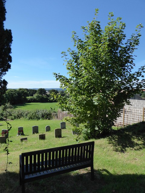
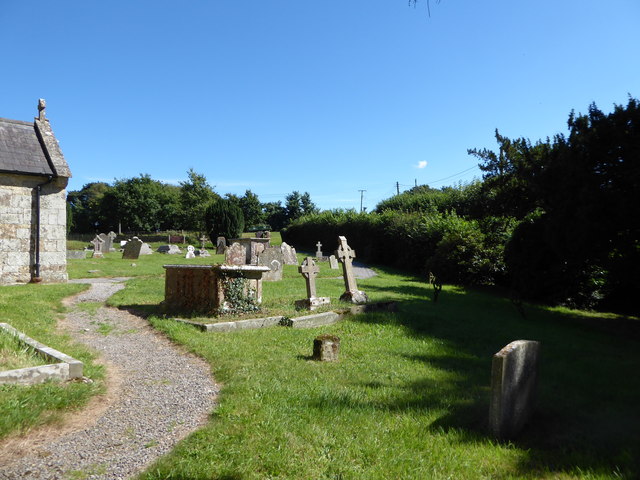
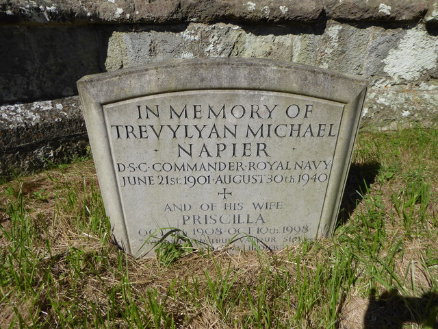
St. Mary's Church, East Knoyle

St. Mary's Church is a Church of England parish church in East Knoyle, Wiltshire, England. == History == The Church of England Parish Church of St Mary...

East Knoyle

East Knoyle is a village and civil parish in Wiltshire, in the south-west of England, just west of the A350 and about 9 miles (14 km) south of Warminster...

Have you been to Hayes Copse?

Leave your review of Hayes Copse below (or comments, questions and feedback).