Four Acre Coppice
Wood, Forest in Dorset
England
Four Acre Coppice
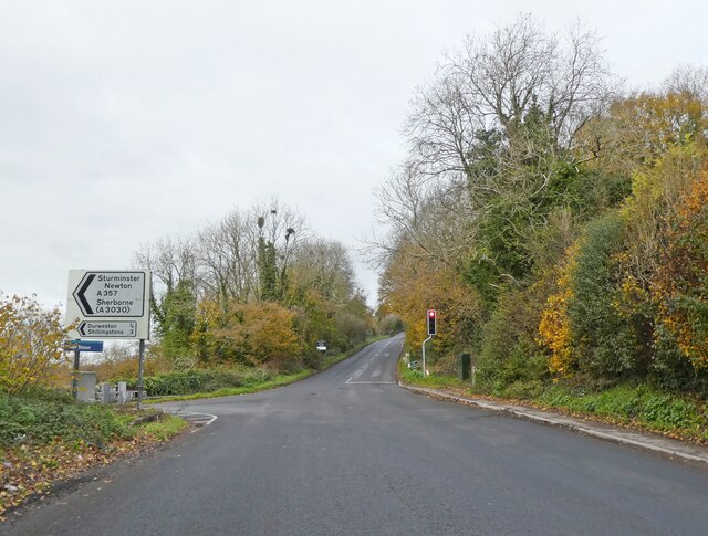
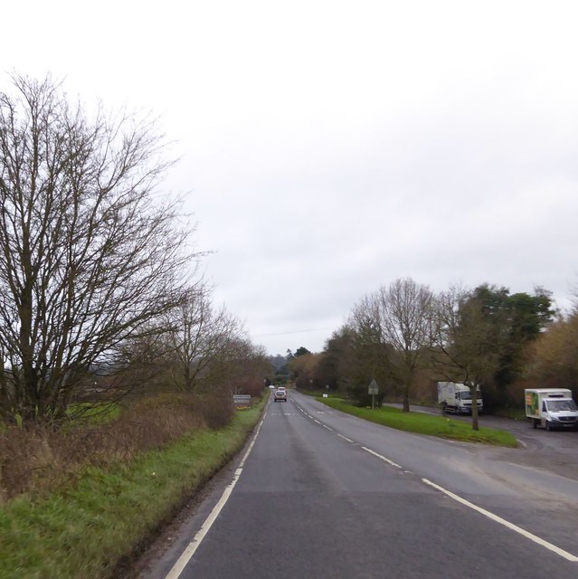
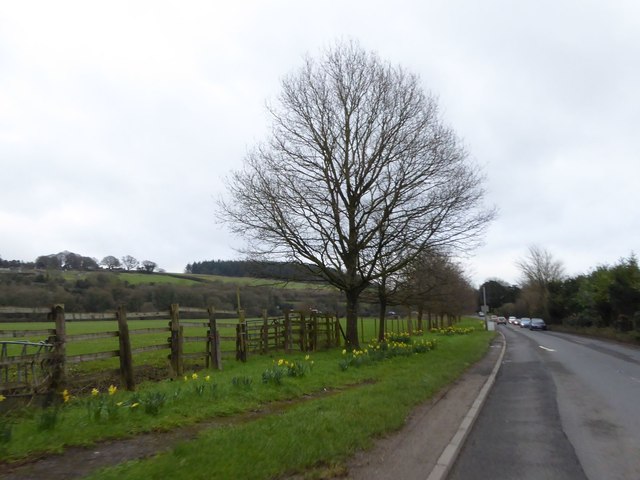
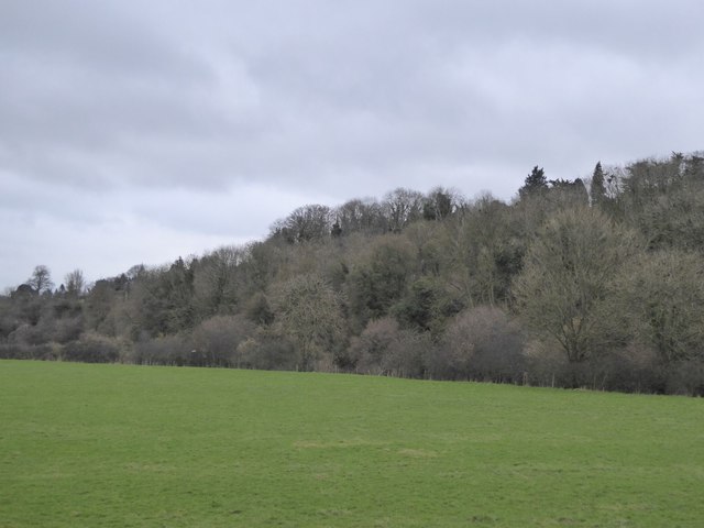
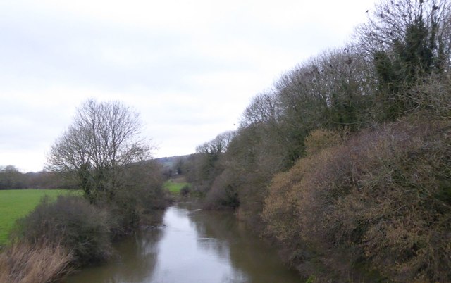
Four Acre Coppice is a picturesque woodland located in Dorset, England. Covering an area of approximately four acres, this enchanting forest is known for its natural beauty and tranquil atmosphere. Situated amidst rolling hills and lush green fields, Four Acre Coppice offers visitors a peaceful retreat from the bustling city life.
The woodland is predominantly composed of deciduous trees, including oak, beech, and birch. These tall and majestic trees provide ample shade and create a soothing environment for nature enthusiasts and hikers alike. The forest floor is covered in a thick layer of moss, adding to the enchantment of the surroundings.
Four Acre Coppice is home to a diverse range of wildlife. Visitors may spot various bird species, including woodpeckers, owls, and thrushes, as well as small mammals like rabbits and squirrels. The forest also supports a rich variety of plant life, with wildflowers blooming in abundance during the spring and summer months.
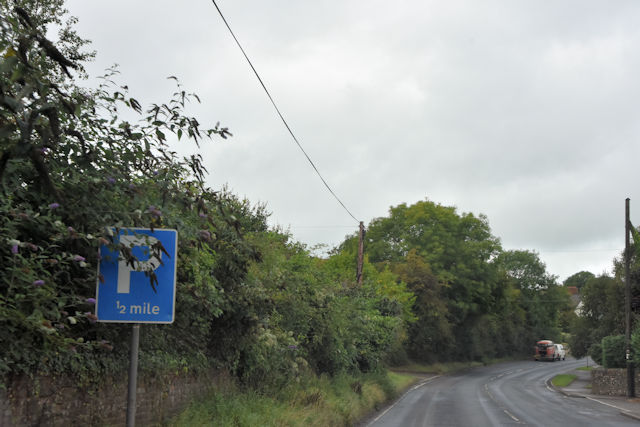
The woodland offers several well-maintained walking trails, allowing visitors to explore its hidden treasures. These paths wind through the forest, offering panoramic views of the surrounding countryside. Additionally, there are designated picnic areas where visitors can relax and enjoy a meal amidst the natural beauty.
Four Acre Coppice is a popular destination for nature lovers, photographers, and those seeking a peaceful retreat. Its serene ambiance and stunning natural landscapes make it a must-visit location in Dorset for both locals and tourists alike.
If you have any feedback on the listing, please let us know in the comments section below.
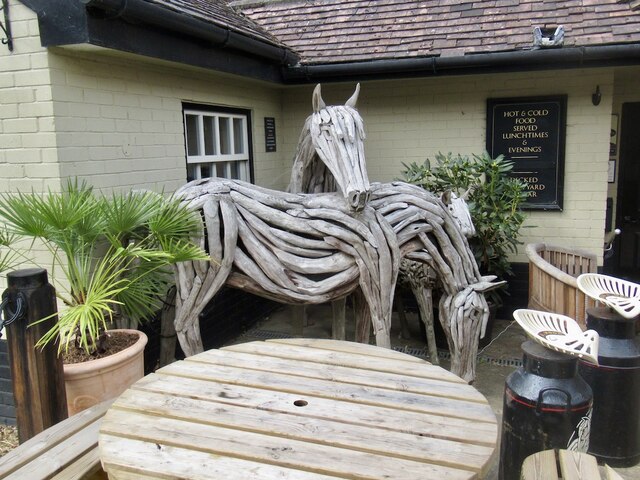
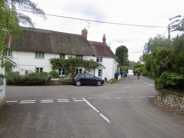
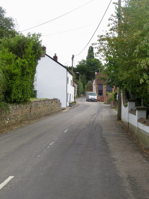
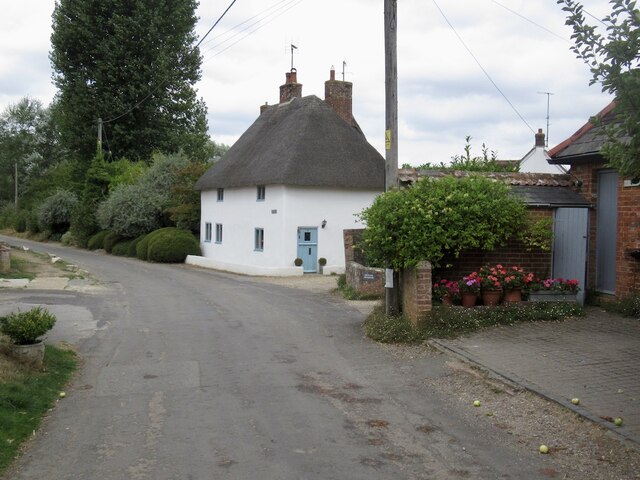
Four Acre Coppice Images
Images are sourced within 2km of 50.869751/-2.1970554 or Grid Reference ST8607. Thanks to Geograph Open Source API. All images are credited.
Four Acre Coppice is located at Grid Ref: ST8607 (Lat: 50.869751, Lng: -2.1970554)
Unitary Authority: Dorset
Police Authority: Dorset
What 3 Words
///surgical.lecturers.unlocking. Near Blandford Forum, Dorset
Nearby Locations
Related Wikis

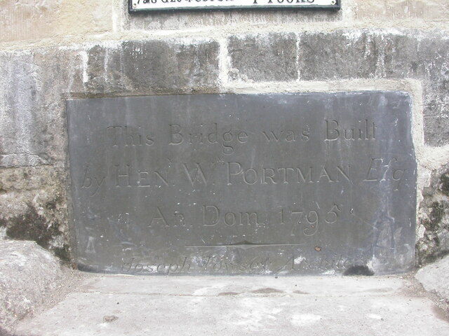
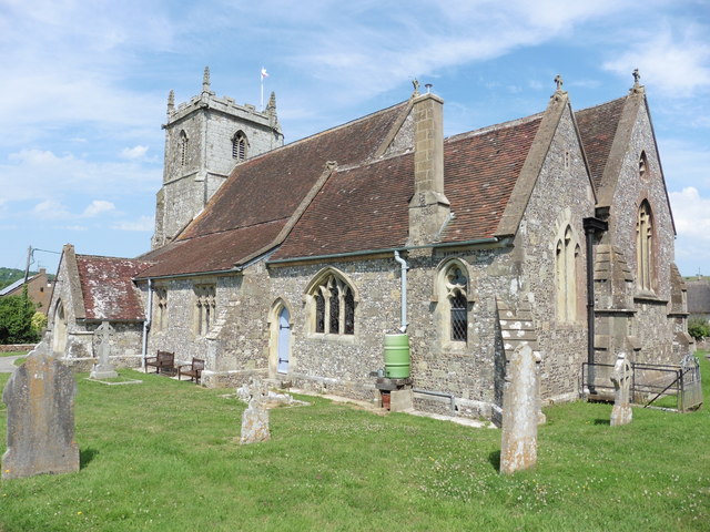
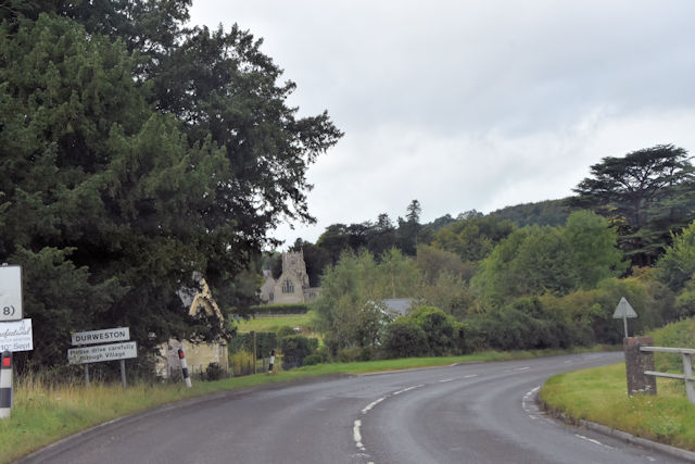
Durweston
Durweston ( dər-WES-tən) is a village and civil parish in the English county of Dorset. It lies two miles (three kilometres) northwest of the town of Blandford...

The Coade Hall
The Coade Hall is a brick-built theatre and concert hall at Bryanston School, near Blandford Forum in Dorset, England. == History == It was opened on...

Bryanston School
Bryanston School is a public school (English private boarding and day school for pupils aged 13–18) located next to the village of Bryanston, and near...

Stourpaine and Durweston railway station
Stourpaine & Durweston Halt was a railway station in the English county of Dorset. It was located between Shillingstone and Blandford Forum on the Somerset...
Bryanston
Bryanston is a village and civil parish in north Dorset, England, situated on the River Stour 1 mile (1.5 kilometres) west of Blandford Forum. In the...

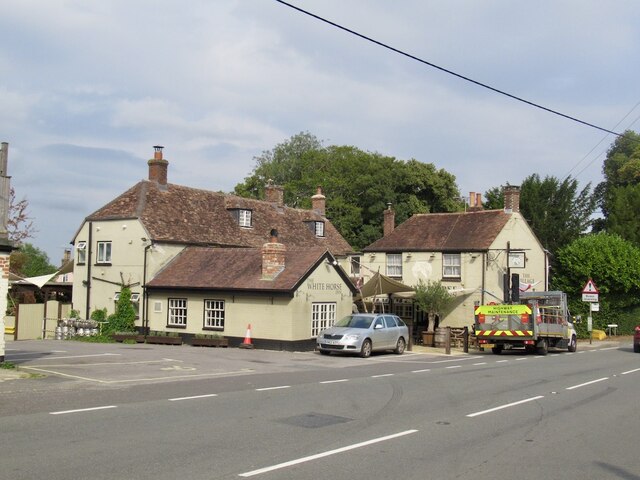
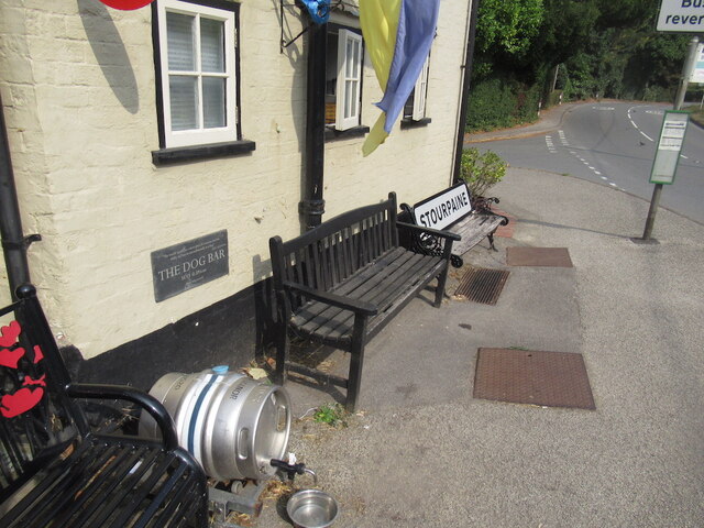
Stourpaine
Stourpaine () is a village and civil parish in the ceremonial county of Dorset in southern England. It is situated in the valley of the River Stour in...

The Blandford School
The Blandford School is a coeducational secondary school located in Blandford Forum in the English county of Dorset.It is a voluntary controlled school...

Ash (near Stourpaine)
Ash is a hamlet approximately 0.5 miles (1 km) north of the village of Stourpaine, Dorset, England.Ash was listed in the Domesday Book of 1086. == References... ==
Nearby Amenities
Located within 500m of 50.869751,-2.1970554Have you been to Four Acre Coppice?
Leave your review of Four Acre Coppice below (or comments, questions and feedback).