Medleys Wood

Wood, Forest in Wiltshire

England

Medleys Wood

Ordnance Survey Cut Mark This OS cut mark can be found on the west angle of St John the Baptist's Church. It marks a point 162.739m above mean sea level.
Ordnance Survey Cut Mark Credit: Adrian Dust

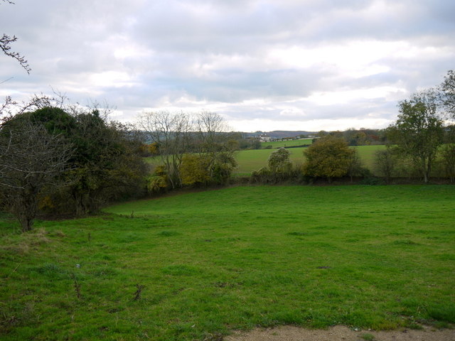
Medleys Wood is a picturesque forest located in the county of Wiltshire, England. Covering an area of approximately 120 acres, it is situated on the outskirts of the small village of Medleys, just a few miles north of the bustling town of Marlborough.

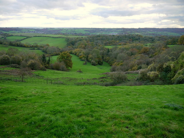
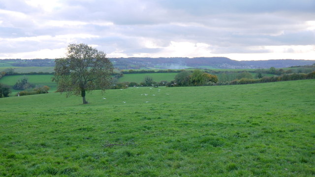
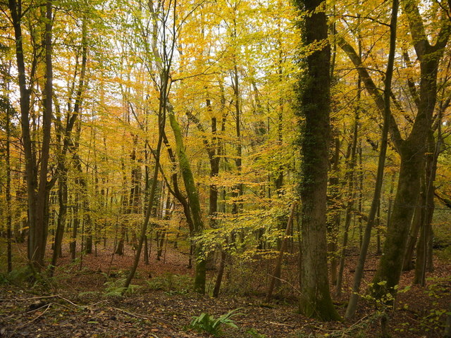
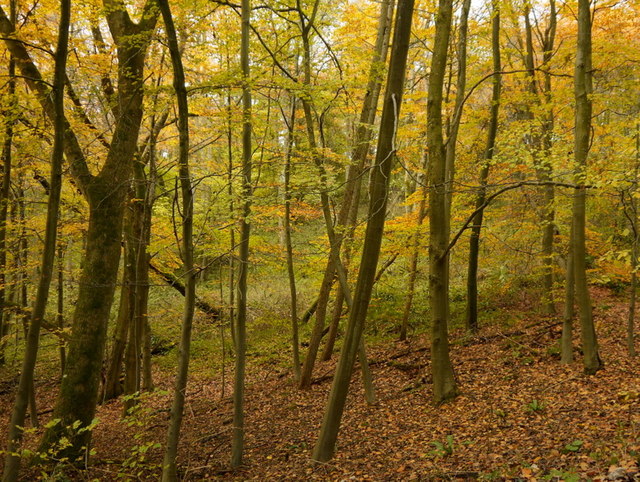
The woodland is characterized by its dense canopy of towering trees, predominantly consisting of oak, beech, and ash. These ancient trees create a serene and tranquil atmosphere, making Medleys Wood a popular destination for nature lovers and hikers alike. The forest floor is adorned with a carpet of bluebells during the spring, adding a vibrant splash of color to the landscape.

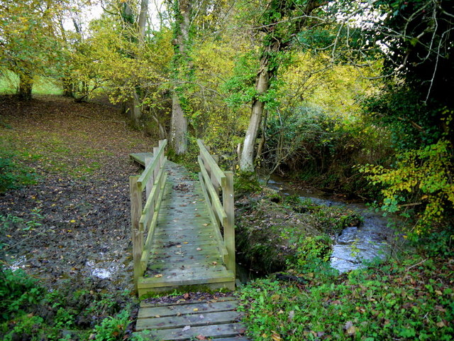
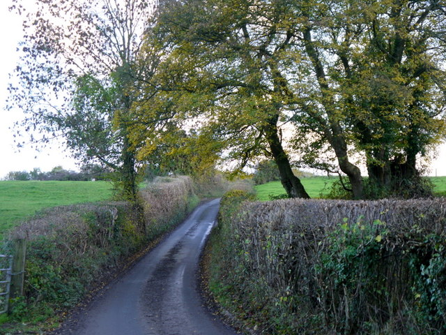
Several walking trails meander through the wood, offering visitors the chance to explore its beauty at their own pace. These paths wind through the dense foliage, leading to hidden clearings and secluded spots, perfect for picnics or simply enjoying the peaceful surroundings. The forest is also home to a diverse array of wildlife, including deer, badgers, and a plethora of bird species.

Medleys Wood holds historical significance as well. It is rumored to have been a favored hunting ground for King Henry VIII during his reign, and remnants of old hunting lodges can still be found within the forest.

Overall, Medleys Wood is a captivating natural haven, providing a sanctuary for both flora and fauna. Its beauty and tranquility make it a must-visit destination for those seeking a peaceful retreat in the heart of Wiltshire.

If you have any feedback on the listing, please let us know in the comments section below.
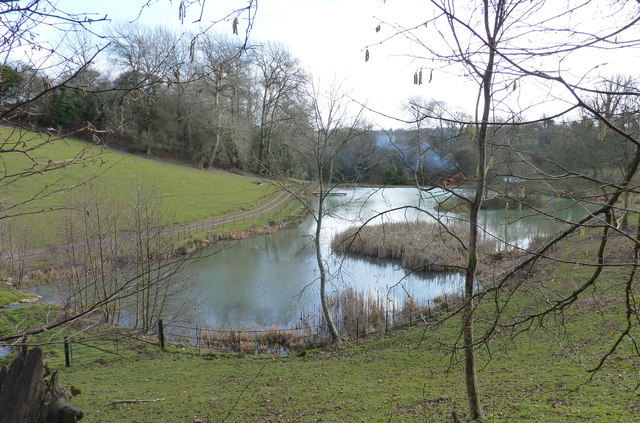
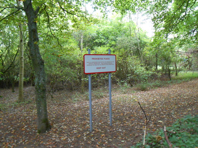
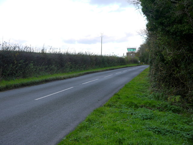
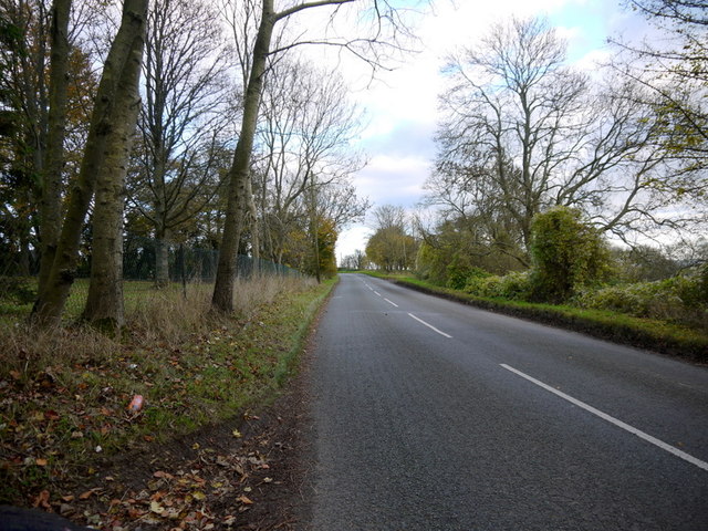
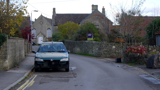
Medleys Wood Images

Images are sourced within 2km of 51.434093/-2.2716775 or Grid Reference ST8170. Thanks to Geograph Open Source API. All images are credited.

Ordnance Survey Cut Mark This OS cut mark can be found on the west angle of St John the Baptist's Church. It marks a point 162.739m above mean sea level.
Ordnance Survey Cut Mark
This OS cut mark can be found on the west angle of St John the Baptist's Church. It marks a point 162.739m above mean sea level.
Euridge Manor Lake Seen on a walk from Colerne.
Euridge Manor Lake
Seen on a walk from Colerne.
Prohibited Place This is the small tract of woodland that surrounds the airfield at RAF Colerne. Although no longer an active RAF station it still houses Colerne Airfield which is now home to 21 Signal Regt, Royal Signals, and also home of several Air Training Corps groups.
Prohibited Place
This is the small tract of woodland that surrounds the airfield at RAF Colerne. Although no longer an active RAF station it still houses Colerne Airfield which is now home to 21 Signal Regt, Royal Signals, and also home of several Air Training Corps groups.
Pastures above the Lid Brook Valley View south of the Bath Road, west of Colerne.
Pastures above the Lid Brook Valley
View south of the Bath Road, west of Colerne.
Bath Road Heading east towards Colerne.
The control tower for Colerne Airfield can be seen over the hedge, and in the next square north.
Bath Road
Heading east towards Colerne. The control tower for Colerne Airfield can be seen over the hedge, and in the next square north.
Bath Road, Colerne The road grazes the southern edge of the Gridsquare.
looking east towards Colerne.
Bath Road, Colerne
The road grazes the southern edge of the Gridsquare. looking east towards Colerne.
Bowl of landscape Part of the Lid Brook valley to the south of Colerne.
Land-use is mainly pasture and woodland.
Bowl of landscape
Part of the Lid Brook valley to the south of Colerne. Land-use is mainly pasture and woodland.
Seen better days A motor on the Old Bath Road, Colerne.
Seen better days
A motor on the Old Bath Road, Colerne.
View from Tutton Hill Pasture land drops away to the Lid Brook.
The Kingsdown Hill plateau can be seen in the distance.
A small flock of gulls are in the middle distance.
View from Tutton Hill
Pasture land drops away to the Lid Brook. The Kingsdown Hill plateau can be seen in the distance. A small flock of gulls are in the middle distance.
Footbridge over Lid Brook The stream flows left to right; the path ascends Tutton Hill to Colerne.
Footbridge over Lid Brook
The stream flows left to right; the path ascends Tutton Hill to Colerne.
Tutton Hill The lane ascends south out of Lidbrook Bottom towards Box.
Tutton Hill
The lane ascends south out of Lidbrook Bottom towards Box.
The SW end of the main runway on Colerne airfield
Little used hangars on the periphery of Colerne airfield
MoD satellite communication dishes on Colerne airfield
Fields Near Hunters Hall Hunters Hall now a residence that in earlier times was a working farm is hidden in the trees on the left of the image. The Fosse Way is behind the hedge on the left.
This field has recently been ploughed and seeded and still shows the straw waste from this years crop.
Fields Near Hunters Hall
Hunters Hall now a residence that in earlier times was a working farm is hidden in the trees on the left of the image. The Fosse Way is behind the hedge on the left. This field has recently been ploughed and seeded and still shows the straw waste from this years crop.
East Lodge to Ashwicke Hall This lodge located at an angle and to and right next to the Fosse Way is now the main entrance to Sabis School which is now located in the hall. The lodge was built in 1857-1860 as well as the current main house to designs by James Kellaway Colling, who also designed the stable. The Sabis school is a private education school that was first started in the 19th C in Lebanon.
East Lodge to Ashwicke Hall
This lodge located at an angle and to and right next to the Fosse Way is now the main entrance to Sabis School which is now located in the hall. The lodge was built in 1857-1860 as well as the current main house to designs by James Kellaway Colling, who also designed the stable. The Sabis school is a private education school that was first started in the 19th C in Lebanon.
Gold in Diamond Wood, 1 The beeches here are approaching their peak of colour this November 2013.
Gold in Diamond Wood, 1
The beeches here are approaching their peak of colour this November 2013.
Gold in Diamond Wood, 2 The beeches here are approaching their peak of colour this November 2013.
Gold in Diamond Wood, 2
The beeches here are approaching their peak of colour this November 2013.
Show me another place!

Medleys Wood is located at Grid Ref: ST8170 (Lat: 51.434093, Lng: -2.2716775)

Unitary Authority: Wiltshire

Police Authority: Wiltshire

What 3 Words

///robot.approach.continues. Near Colerne, Wiltshire

Nearby Locations

Medleys Wood Stowell Wood

Related Wikis

Colerne

Colerne is a village and civil parish in north Wiltshire, England. The village is about 3.5 miles (6 km) west of the town of Corsham and 7 miles (11 km...
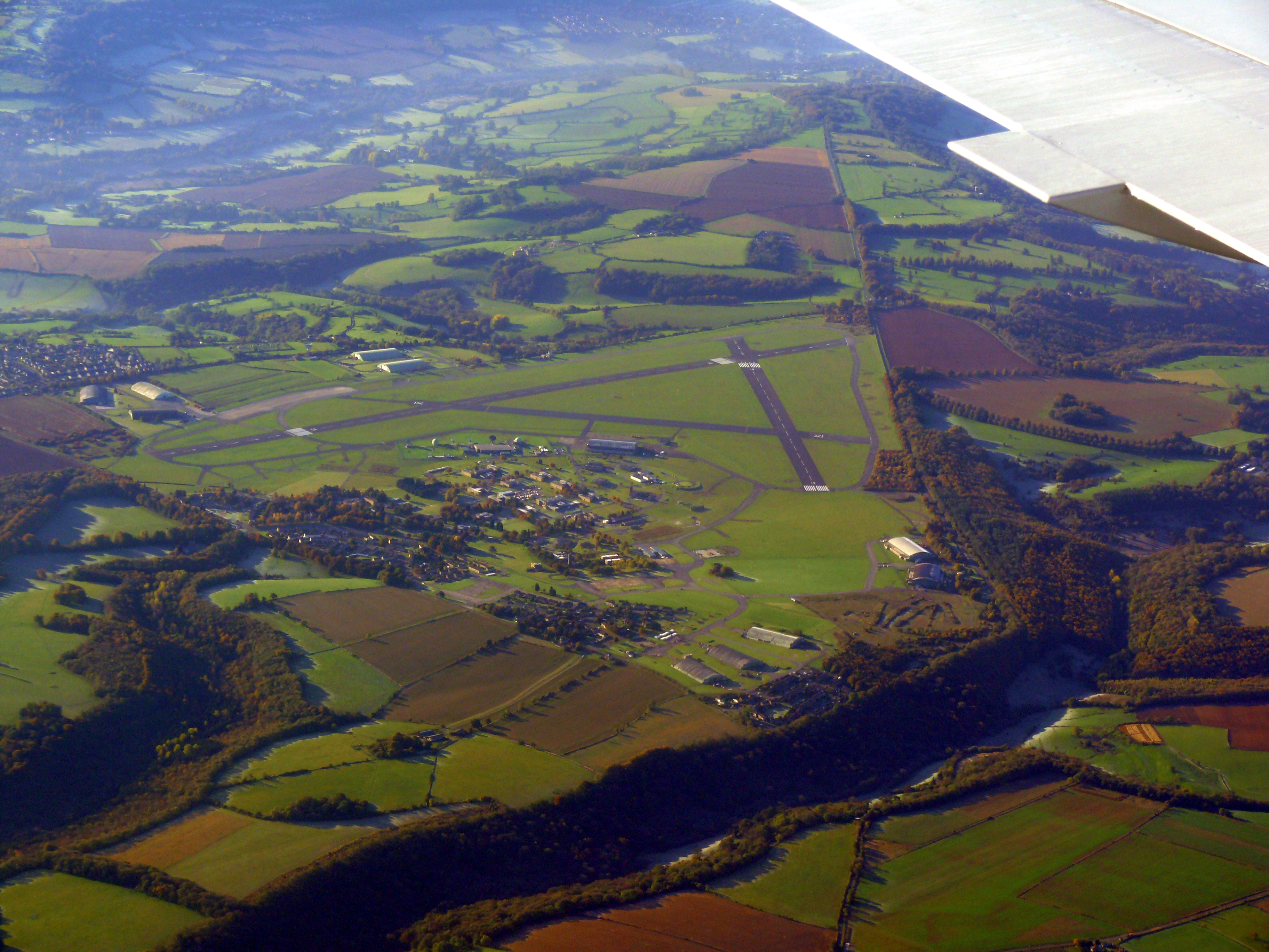
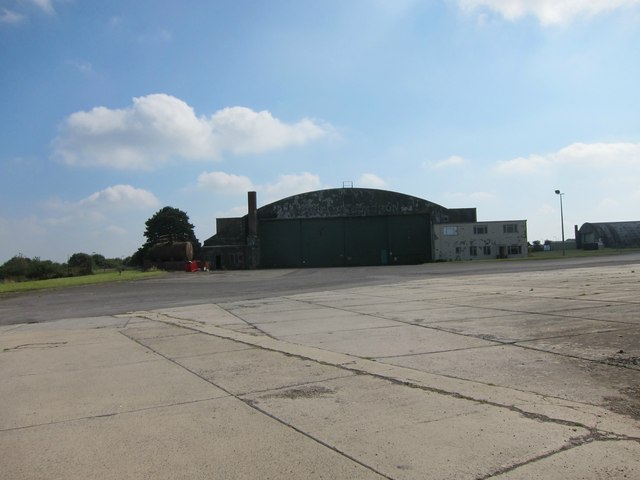
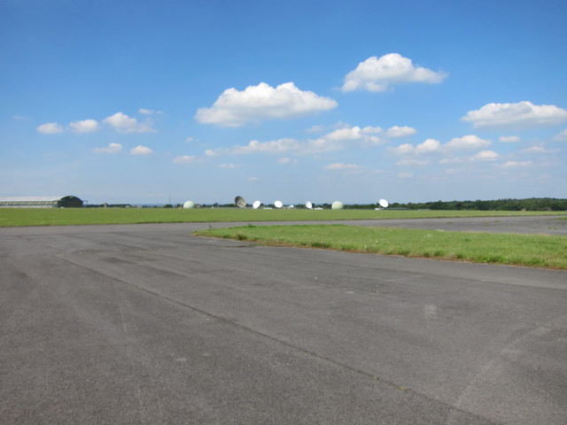
RAF Colerne

Royal Air Force Colerne or more simply RAF Colerne is a former Royal Air Force station which was on the outskirts of the village of Colerne in Wiltshire...

Colerne Airfield

Colerne Airfield (ICAO: EGUO), now known as Azimghur Barracks, is a British Army facility just north-west of the village of Colerne, Wiltshire, England...

Frank's Wood

Frank's Wood is a woodland in Wiltshire, England, on the north-east edge of Colerne village. It covers an area of 1.96 hectares (4.84 acres). It is owned...

Ditteridge

Ditteridge is a village in the civil parish of Box, Wiltshire, England. It is about 0.8 miles (1.3 km) northwest of Box village and 3.5 miles (6 km) west...

Box railway station

Box railway station served the town of Box in Wiltshire, England. The station was on the main Great Western Railway line from London to Bristol and was...

Ashley, Wiltshire

Ashley is a small village in the civil parish of Box in Wiltshire, England. Its nearest town is Corsham, which lies approximately 3.5 miles (5.6 km) east...

Real World Studios

Real World Studios is a residential recording studio complex founded by Peter Gabriel and situated in the old Box Mill building in the village of Box,...

Nearby Amenities

Located within 500m of 51.434093,-2.2716775
Barrier: stile
Lat/Long: 51.4339832/-2.2672388
Barrier: stile
Lat/Long: 51.4336972/-2.2671304
Barrier: stile
Lat/Long: 51.4306267/-2.2683872
Barrier: stile
Lat/Long: 51.4352285/-2.265705
Barrier: stile
Lat/Long: 51.4338004/-2.2788554
Barrier: cattle_grid
Lat/Long: 51.432194/-2.2702952
The data included in this document is from www.openstreetmap.org. The data is made available under ODbL.

Have you been to Medleys Wood?

Leave your review of Medleys Wood below (or comments, questions and feedback).