Cowpound Wood
Wood, Forest in Dorset
England
Cowpound Wood
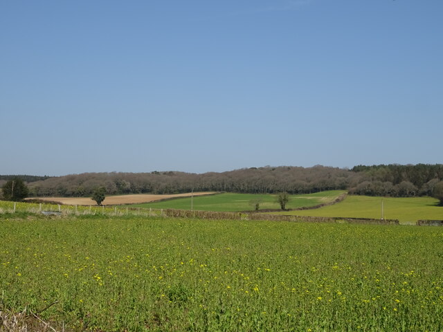
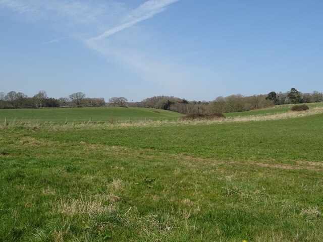
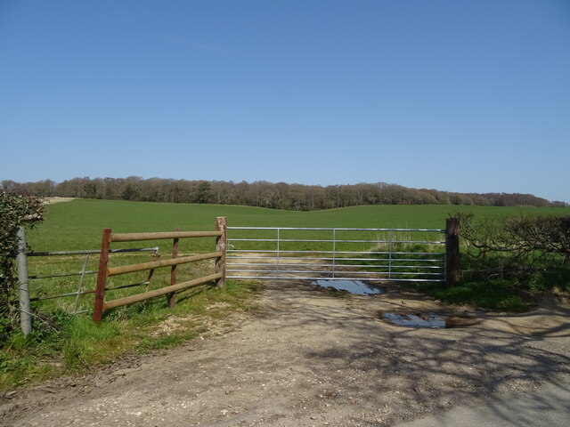
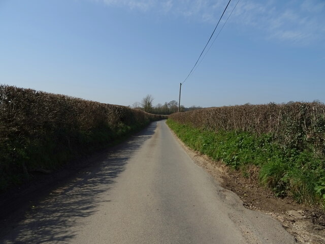
Cowpound Wood is a charming forest located in the county of Dorset, in the southwest region of England. It covers an area of approximately 50 hectares and is a popular destination for nature enthusiasts and hikers alike. The wood is situated near the small village of Cowpound, which lends its name to this tranquil woodland.
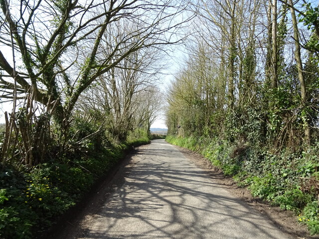
The woodland is predominantly composed of oak and beech trees, creating a rich and diverse ecosystem. These majestic trees provide a picturesque canopy, casting dappled sunlight on the forest floor. The forest is also home to a variety of wildlife, including deer, badgers, and a wide range of bird species. Birdwatchers frequent Cowpound Wood to catch a glimpse of the various avian residents and migratory visitors.
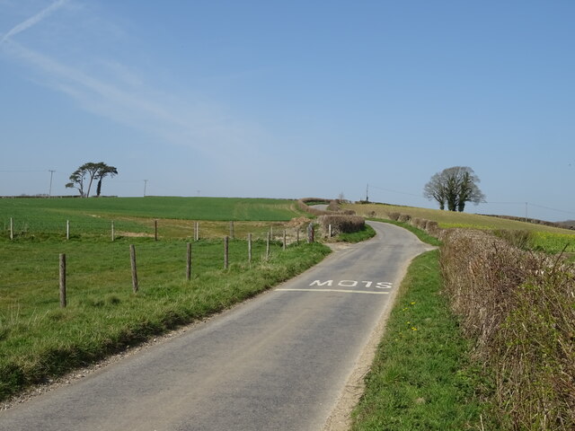
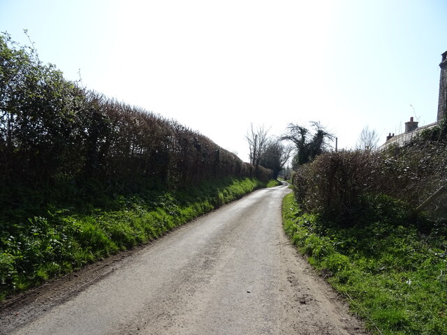
The woodland features a network of well-maintained footpaths and trails, making it an ideal location for walkers and nature lovers to explore. Visitors can immerse themselves in the peaceful ambiance as they stroll through the dense foliage, breathing in the fresh woodland air. The wood is particularly enchanting during the spring and summer seasons, when the forest floor is adorned with a vibrant carpet of bluebells and wildflowers.
Cowpound Wood offers a tranquil escape from the hustle and bustle of everyday life, providing a serene environment for relaxation and contemplation. It is a place where visitors can reconnect with nature and experience the beauty of the English countryside. Whether for a leisurely walk or a quiet picnic amidst nature, Cowpound Wood is a hidden gem waiting to be discovered in the heart of Dorset.
If you have any feedback on the listing, please let us know in the comments section below.
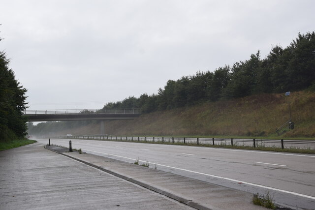
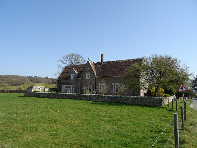
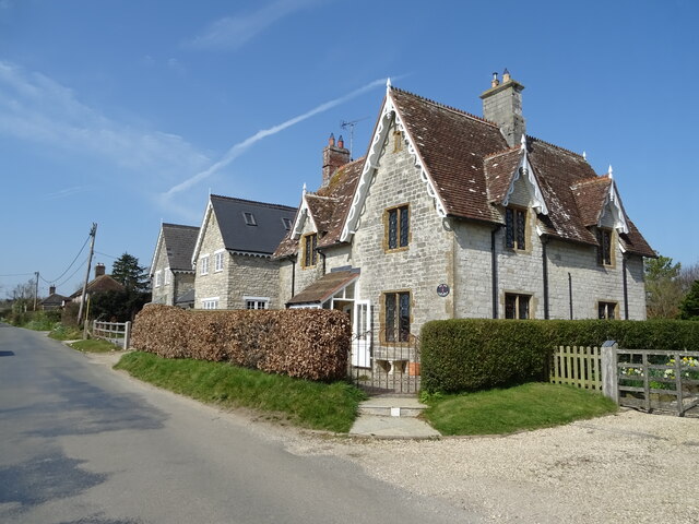
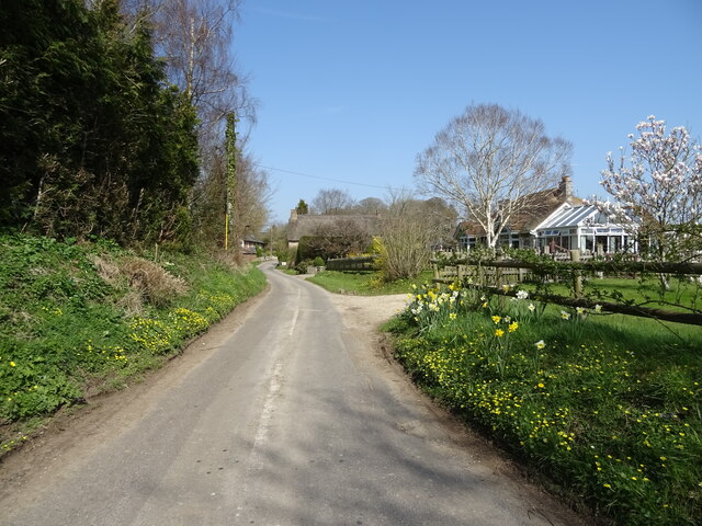
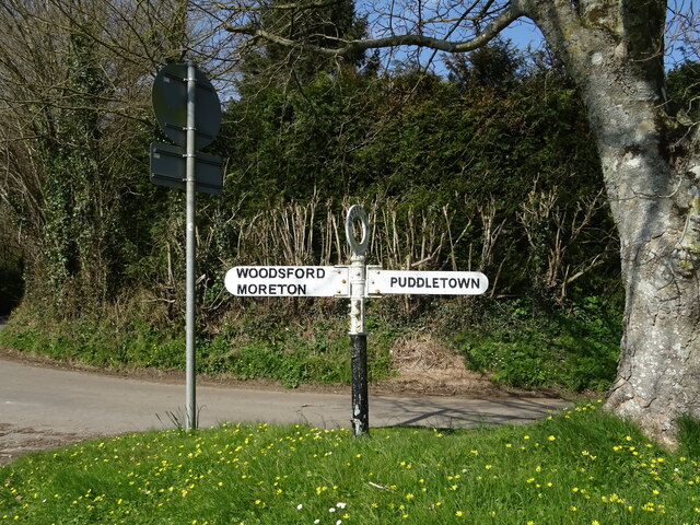
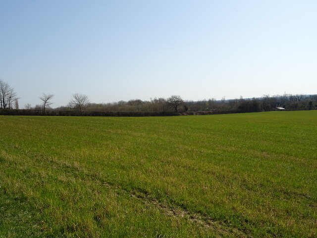
Cowpound Wood Images
Images are sourced within 2km of 50.74108/-2.3274641 or Grid Reference SY7693. Thanks to Geograph Open Source API. All images are credited.


Cowpound Wood is located at Grid Ref: SY7693 (Lat: 50.74108, Lng: -2.3274641)
Unitary Authority: Dorset
Police Authority: Dorset
What 3 Words
///quail.cleans.jelly. Near Puddletown, Dorset
Nearby Locations
Related Wikis

Burleston
Burleston is a village in Dorset, England. Burleston is listed in the Domesday Book of 1086, having at that time a small population of nine households...

Athelhampton
Athelhampton (also known as Admiston or Adminston) is a settlement and civil parish in Dorset, England, situated approximately 5 miles (8 km) east of Dorchester...

Devils Brook (Dorset)
The Devils Brook is a Dorset watercourse of that rises near Higher Ansty (on Pleck Farm, in Pleck or Little Ansty), near to the source of the River Divelish...

Puddletown
Puddletown is a village and civil parish in Dorset, England. It is situated by the River Piddle, from which it derives its name, about 4.5 miles (7 km...
Puddletown Hundred
Puddletown Hundred was a hundred in the county of Dorset, England, containing the following parishes: Athelhampton Burleston Milborne St Andrew (part...

Tincleton
Tincleton is a village and civil parish in the county of Dorset in southern England. It is situated near the River Frome, approximately 5 miles (8.0 km...

St John's Church, Tincleton
St John's Church is a Church of England church in Tincleton, Dorset, England. It was designed by Benjamin Ferrey and built in 1849–50. The church has been...

St John's Church, Tolpuddle
The Church of Saint John the Evangelist is a Church of England parish church in Tolpuddle, Dorset. The church is a Grade I listed building. == History... ==
Nearby Amenities
Located within 500m of 50.74108,-2.3274641Have you been to Cowpound Wood?
Leave your review of Cowpound Wood below (or comments, questions and feedback).