Holtsbank Coppice

Wood, Forest in Worcestershire Malvern Hills

England

Holtsbank Coppice

Eastham church Eastham church in the Teme valley is located in a farmyard. Although the tower is brick, the body of the church is made from locally quarried tufa.
Eastham church Credit: Richard Greenwood

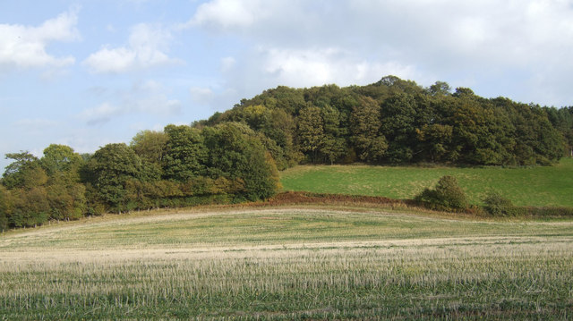
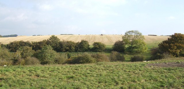
Holtsbank Coppice is a picturesque woodland located in Worcestershire, England. Covering an area of approximately 100 acres, it is a prime example of a traditional coppice woodland. The site is managed by the Worcestershire Wildlife Trust and is renowned for its rich biodiversity and natural beauty.

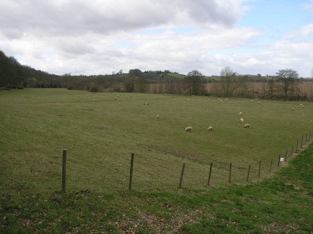
The woodland is predominantly made up of native broadleaf trees such as oak, ash, and birch, which create a dense canopy overhead, providing shade and shelter for a wide variety of wildlife. The forest floor is carpeted with a diverse range of plant species, including bluebells, wood anemones, and wild garlic, which burst into bloom during the spring months, adding vibrant colors to the woodland.

Holtsbank Coppice is home to a multitude of wildlife species. It provides a habitat for many bird species, including woodpeckers, nuthatches, and tawny owls. The woodland is also a haven for mammals such as badgers, foxes, and deer, which can often be spotted roaming amongst the trees.

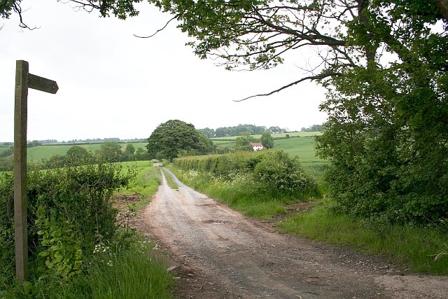
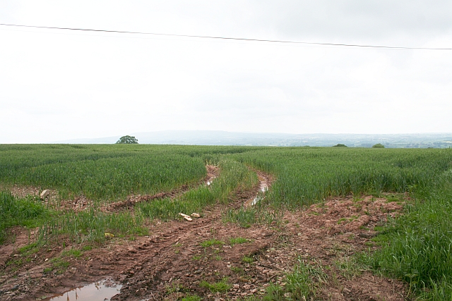
In addition to its ecological significance, Holtsbank Coppice is popular among locals and visitors alike for recreational activities. It offers a network of well-maintained footpaths, allowing visitors to explore the woodland and enjoy its tranquility. The paths lead to open glades and small ponds, providing peaceful spots for picnicking or simply immersing oneself in nature.

Overall, Holtsbank Coppice is a cherished natural gem in Worcestershire, offering a haven for wildlife, a place for quiet reflection, and an opportunity for people to reconnect with nature.

If you have any feedback on the listing, please let us know in the comments section below.

Holtsbank Coppice Images

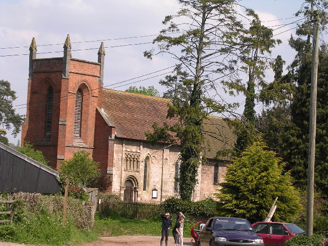
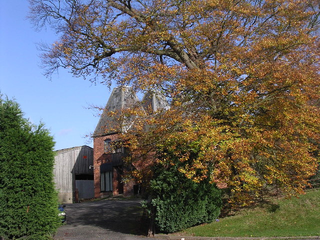
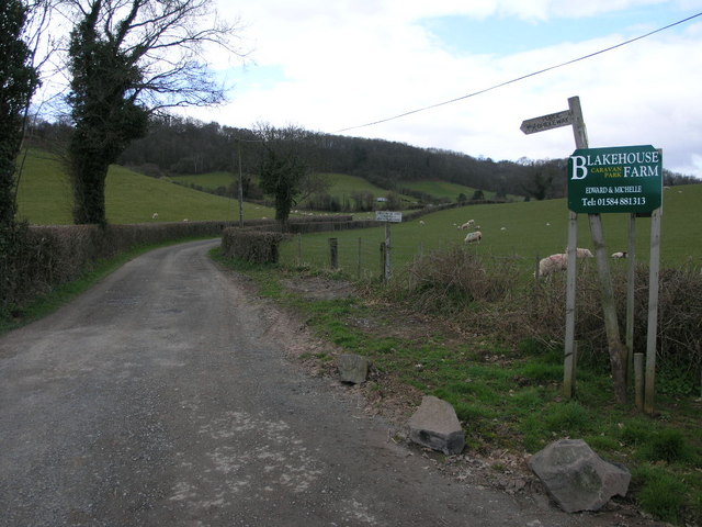
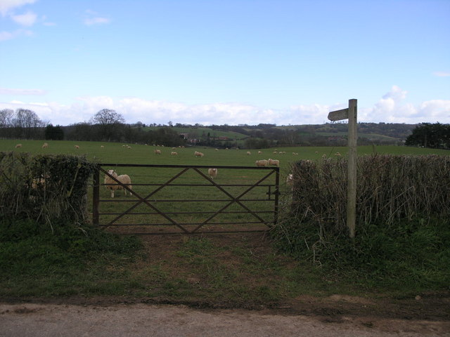
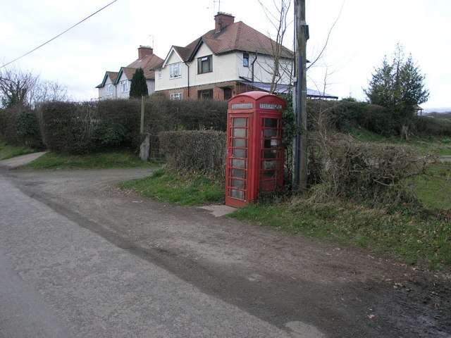
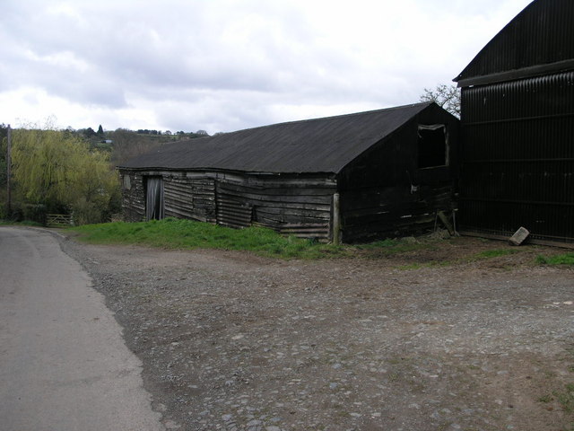
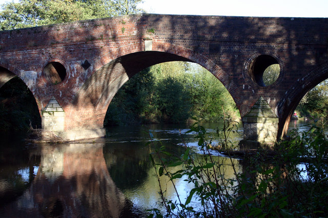
Images are sourced within 2km of 52.308209/-2.4912293 or Grid Reference SO6667. Thanks to Geograph Open Source API. All images are credited.

Eastham church Eastham church in the Teme valley is located in a farmyard. Although the tower is brick, the body of the church is made from locally quarried tufa.
Eastham church
Eastham church in the Teme valley is located in a farmyard. Although the tower is brick, the body of the church is made from locally quarried tufa.
Farm with hop barns: Teme Valley The lane to Woodston Manor.
Farm with hop barns: Teme Valley
The lane to Woodston Manor.
Doddenhill Farm
Doddenhill Farm
Bridleway to Eastham Grange Hiding away somewhere on this hillside is a caravan park.
Bridleway to Eastham Grange
Hiding away somewhere on this hillside is a caravan park.
Gate and Sheep This footpath follows the river valley on its way to Eastham.
Gate and Sheep
This footpath follows the river valley on its way to Eastham.
Phone and Footpath The footpath leads to Eastham the phonebox could potentially lead to anywhere in the world.
Phone and Footpath
The footpath leads to Eastham the phonebox could potentially lead to anywhere in the world.
Black Wooden Barn This barn has perhaps seen better days since the planks on its sides have sagged a little.
Black Wooden Barn
This barn has perhaps seen better days since the planks on its sides have sagged a little.
Grazing by the River The trees at the edge of this field are following the source of the River Teme.
Grazing by the River
The trees at the edge of this field are following the source of the River Teme.
Eastham Bridge, nr Tenbury, Worcestershire Built in 1793 and rebuilt in 1898, it was a toll bridge until 1908.
Eastham Bridge, nr Tenbury, Worcestershire
Built in 1793 and rebuilt in 1898, it was a toll bridge until 1908.
Nag's Head Pub On the A 443 Worcester Tenbury Road in the Teme Valley.
Nag's Head Pub
On the A 443 Worcester Tenbury Road in the Teme Valley.
North Lodge, Hanley William
Childsgrove Farm Taken from the start of the lane at a point where five routes converge, though one is now just a public footpath blocked by crops.
Childsgrove Farm
Taken from the start of the lane at a point where five routes converge, though one is now just a public footpath blocked by crops.
Footpath to Highwood Looking from a junction of five roads and paths, one of the paths goes across this field - now ploughed up and planted. Lying on the ground is the remains of a 3" X 3" wooden post - very similar to those indicating a public footpath.
Footpath to Highwood
Looking from a junction of five roads and paths, one of the paths goes across this field - now ploughed up and planted. Lying on the ground is the remains of a 3" X 3" wooden post - very similar to those indicating a public footpath.
Bridleway south of Hillwood Farm Pleasant rolling countryside in west Worcestershire.
Bridleway south of Hillwood Farm
Pleasant rolling countryside in west Worcestershire.
Wooded hillside View east of the farm road to Hillwood farm.
Wooded hillside
View east of the farm road to Hillwood farm.
Grazing land and arable Typical scenery of the countryside east of Tenbury.
Grazing land and arable
Typical scenery of the countryside east of Tenbury.
Hillwood Farm Not a hive of activity.
Hillwood Farm
Not a hive of activity.
A443 at Lindridge Looking eastwards on a cold February evening with the full moon high in the sky. The road here turns up the slope to go past the spire of St Lawrence's Church, which was built in 1862.
A443 at Lindridge
Looking eastwards on a cold February evening with the full moon high in the sky. The road here turns up the slope to go past the spire of St Lawrence's Church, which was built in 1862.
Show me another place!

Holtsbank Coppice is located at Grid Ref: SO6667 (Lat: 52.308209, Lng: -2.4912293)

Administrative County: Worcestershire

District: Malvern Hills

Police Authority: West Mercia

What 3 Words

///stung.hydration.minerals. Near Collington, Herefordshire

Related Wikis

Eastham, Worcestershire

Eastham is a village and civil parish in the Malvern Hills District in the county of Worcestershire, England. It had a population of 254 in 2021.Eastham...

Eastham bridge

Eastham bridge was a Grade II listed bridge over the River Teme at Eastham, near Tenbury Wells, Worcestershire, England. Built as a toll bridge in 1793...

Lindridge

Lindridge is a village and civil parish in the Malvern Hills District in the north of the county of Worcestershire, England, near the Shropshire border...

Hanley William

Hanley William is a village and former civil parish, now in the parish of Hanley, in the Malvern Hills district, in the county of Worcestershire, England...

Nearby Amenities

Located within 500m of 52.308209,-2.4912293
Bus Stop
Eastham- Memorial Hall
Bus: yes
Naptan AtcoCode: 2000G199601
Naptan Bearing: W
Naptan CommonName: Eastham- Memorial Hall
Naptan Indicator: Adj
Naptan Landmark: Astley Orchard
Naptan NaptanCode: wocdpapa
Naptan Street: Village Road
Naptan Verified: no
Public Transport: platform
Source: naptan_import
Lat/Long: 52.3111361/-2.4895013
Post Box
Collection Times: Mo-Fr 15:30; Sa 11:00
Post Box Type: lamp
Ref: WR15 92
Royal Cypher: EIIR
Royal Cypher Wikidata: Q33102113
Lat/Long: 52.3111106/-2.4895434
Barrier: stile
Material: wood
Stile: stepover
Lat/Long: 52.3087984/-2.4902621
Public Bookcase
Booth: K6
Colour: red
Disused Amenity: telephone
Man Made: telephone_box
Public Bookcase Type: phone_box
Lat/Long: 52.3113017/-2.4888341
Astley Farm
Power: pole
Transformer: distribution
Voltage Primary: 11000
Lat/Long: 52.3088902/-2.4846026
Power: pole
Lat/Long: 52.3105842/-2.4850452
Power: pole
Lat/Long: 52.3108163/-2.4859665
Power: pole
Lat/Long: 52.3110459/-2.4868758
Power: pole
Lat/Long: 52.3116198/-2.4870233
Eastham South
Power: pole
Transformer: distribution
Voltage Primary: 11000
Lat/Long: 52.3104125/-2.4891436
Power: pole
Lat/Long: 52.3105732/-2.4900636
Power: pole
Lat/Long: 52.3107466/-2.4913276
Power: pole
Lat/Long: 52.3109315/-2.4927787
Power: pole
Lat/Long: 52.3111721/-2.4930221
Walkers House
Power: pole
Transformer: distribution
Voltage Primary: 11000
Lat/Long: 52.3115554/-2.4933942
Power: pole
Lat/Long: 52.3120806/-2.4932373
The data included in this document is from www.openstreetmap.org. The data is made available under ODbL.

Have you been to Holtsbank Coppice?

Leave your review of Holtsbank Coppice below (or comments, questions and feedback).