Green Rid Wood
Wood, Forest in Lancashire Ribble Valley
England
Green Rid Wood
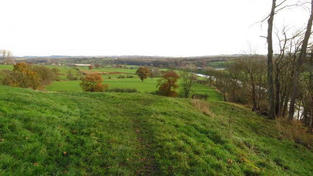
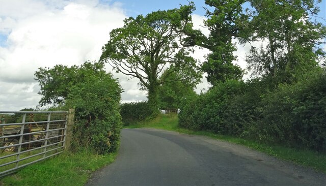
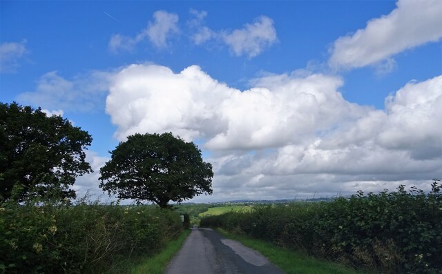
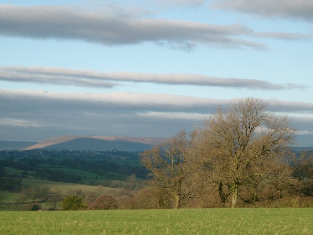
Green Rid Wood is a picturesque forest located in the rural county of Lancashire, England. Covering an area of approximately 100 hectares, this woodland is a haven for nature enthusiasts and outdoor adventurers alike.
The wood is predominantly composed of native broadleaf trees, such as oak, beech, and ash, which create a dense and lush canopy. These trees provide a habitat for a diverse range of flora and fauna, including bluebells, wild garlic, and various species of birds, mammals, and insects.
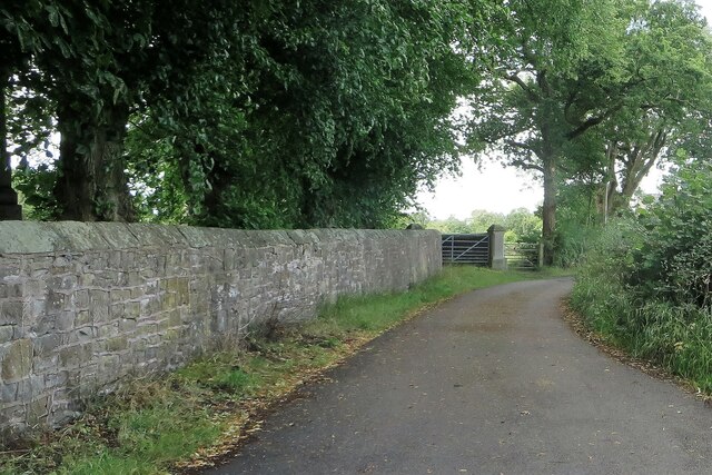
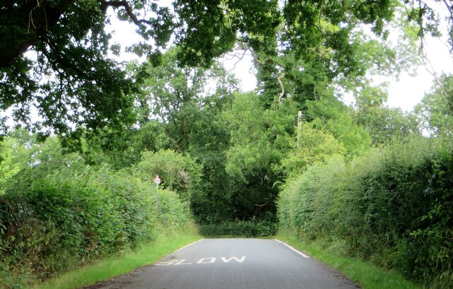
Traversing through Green Rid Wood, visitors can explore a network of well-maintained footpaths and trails that wind their way through the enchanting forest. These paths cater to different levels of fitness and offer opportunities for leisurely strolls, invigorating runs, or peaceful picnics amidst the tranquil surroundings.
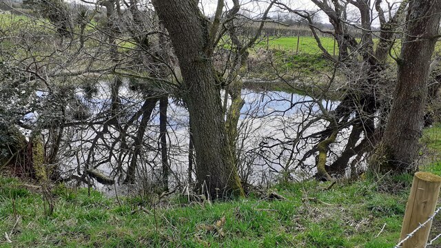
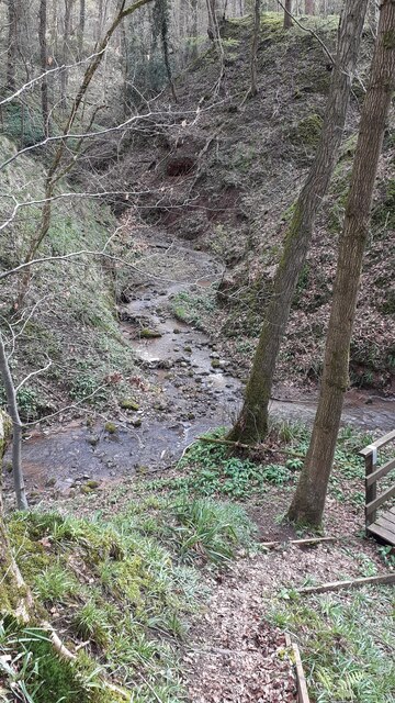
The wood is also home to a small stream that meanders through the heart of the forest, adding to its natural charm. Alongside the stream, there are several wooden benches strategically placed, allowing visitors to rest and soak in the serene ambiance.
Green Rid Wood is well-preserved and managed by local authorities to ensure its ecological integrity. It is open to the public year-round and offers ample parking facilities at its entrance. Additionally, there are information boards scattered throughout the wood, providing educational insights into the local flora and fauna.
Overall, Green Rid Wood is a hidden gem in Lancashire, offering visitors an opportunity to escape the hustle and bustle of everyday life and reconnect with nature in a peaceful and idyllic setting.
If you have any feedback on the listing, please let us know in the comments section below.
Green Rid Wood Images
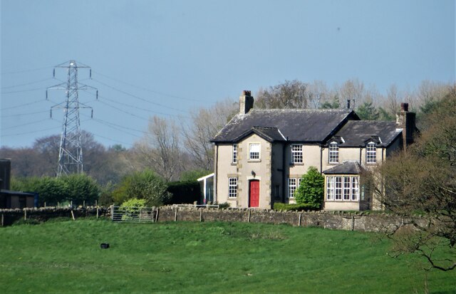
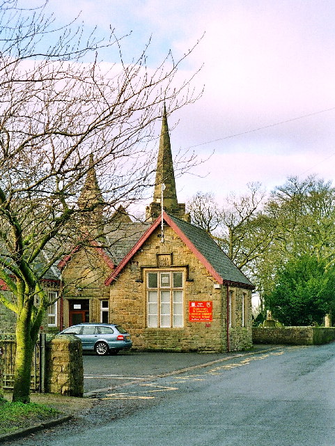
Images are sourced within 2km of 53.796642/-2.5616431 or Grid Reference SD6333. Thanks to Geograph Open Source API. All images are credited.
Green Rid Wood is located at Grid Ref: SD6333 (Lat: 53.796642, Lng: -2.5616431)
Administrative County: Lancashire
District: Ribble Valley
Police Authority: Lancashire
What 3 Words
///reverted.decks.paint. Near Longridge, Lancashire
Nearby Locations
Related Wikis

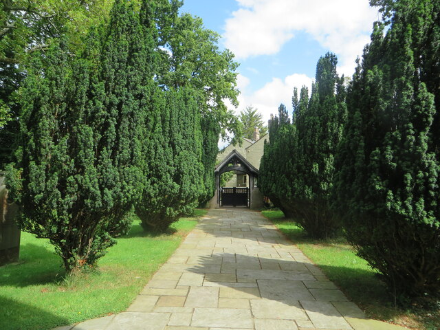
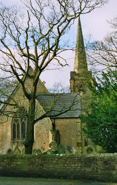
St Leonard's Church, Balderstone
St Leonard's Church is in the village of Balderstone, Lancashire, England. It is an active Anglican parish church in the deanery of Whalley, the archdeaconry...

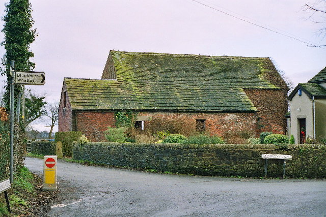
Balderstone, Lancashire
Balderstone is a village and civil parish in the Ribble Valley district of Lancashire, England. The population of the Civil Parish taken at the 2021 census...

Osbaldeston
Osbaldeston is a village and civil parish in Lancashire, England about 3+1⁄4 miles (5.2 km) north-west of Blackburn and 7 miles (11.3 km) east of Preston...

Alston Hall
Alston Hall is a 19th-century Victorian gothic style country mansion located in Longridge (near Preston) in Lancashire, England. It is not to be confused...
Nearby Amenities
Located within 500m of 53.796642,-2.5616431Have you been to Green Rid Wood?
Leave your review of Green Rid Wood below (or comments, questions and feedback).