Ullathorns Wood
Wood, Forest in Westmorland South Lakeland
England
Ullathorns Wood
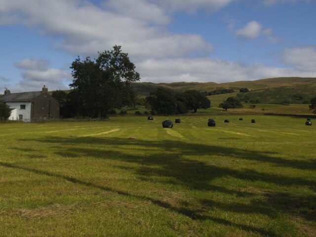
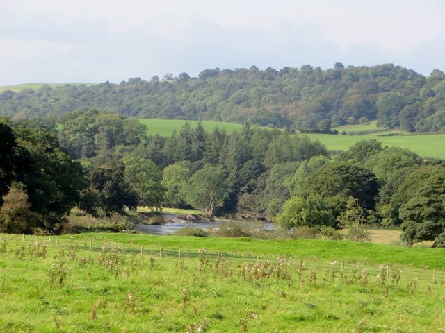
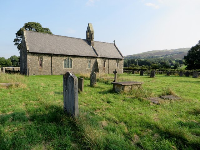
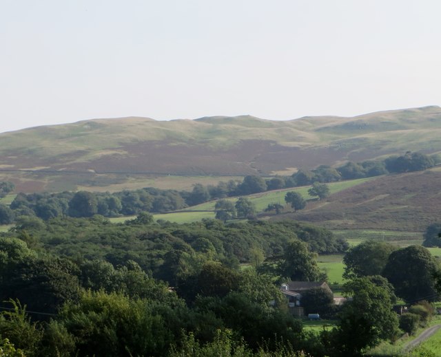
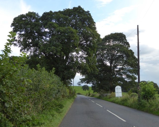
Ullathorns Wood is a picturesque forest located in the county of Westmorland, England. Covering an area of approximately 200 acres, this enchanting woodland is nestled within the beautiful countryside of the Lake District National Park.
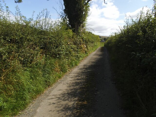
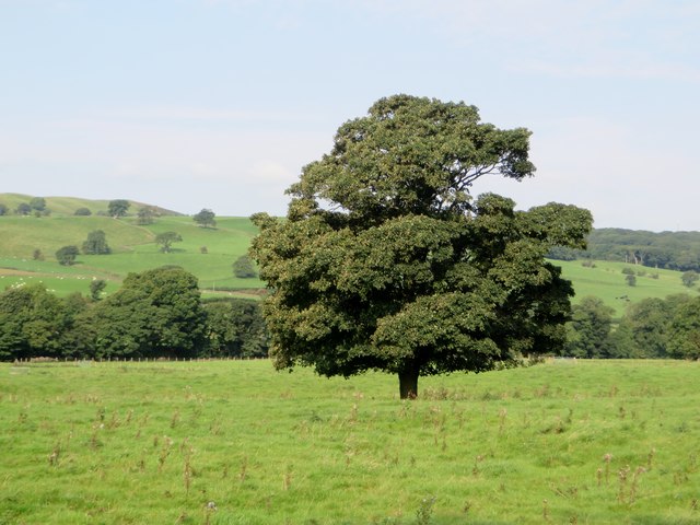
The wood is predominantly composed of a mix of broadleaf trees, including oak, beech, and birch, creating a diverse and vibrant landscape. The trees form a dense canopy that filters sunlight, casting dappled shadows on the forest floor below. This creates a peaceful and tranquil atmosphere, making it an ideal destination for nature lovers and hikers alike.
Ullathorns Wood is home to a rich variety of flora and fauna. The forest floor is carpeted with a plethora of wildflowers, including bluebells, primroses, and wood anemones, which bloom in a riot of colors during the spring months. Squirrels scurry through the trees, while a chorus of birdsong fills the air, making it a haven for birdwatchers.
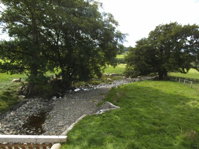
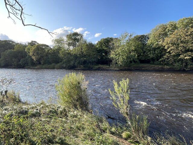
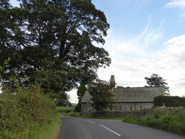
The wood is crisscrossed by a network of well-maintained footpaths, allowing visitors to explore its enchanting beauty. These trails wind through ancient woodland, revealing hidden glades and babbling brooks along the way. The wood is also intersected by a small stream, adding to its idyllic charm.
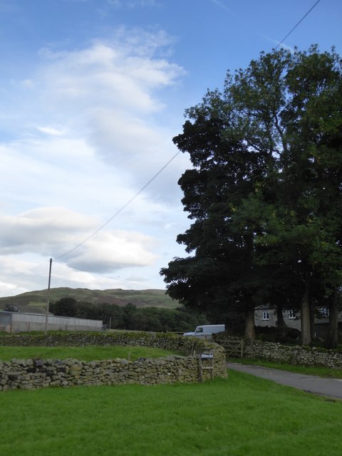
Ullathorns Wood offers a serene escape from the hustle and bustle of everyday life. Its natural beauty and peaceful ambiance make it a popular destination for those seeking respite in the heart of nature. Whether for a leisurely stroll, a picnic amidst the trees, or simply to enjoy the sights and sounds of the forest, Ullathorns Wood is a must-visit location in Westmorland.
If you have any feedback on the listing, please let us know in the comments section below.
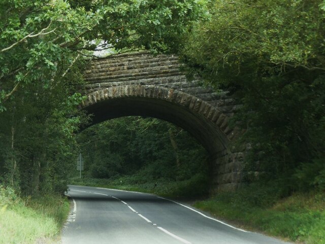
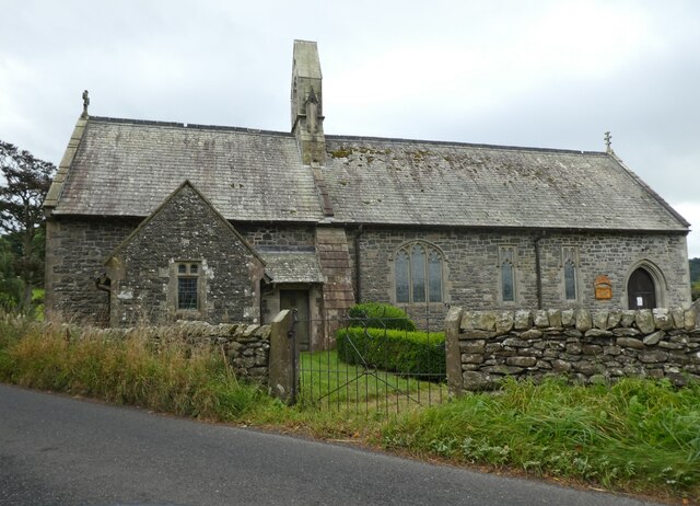
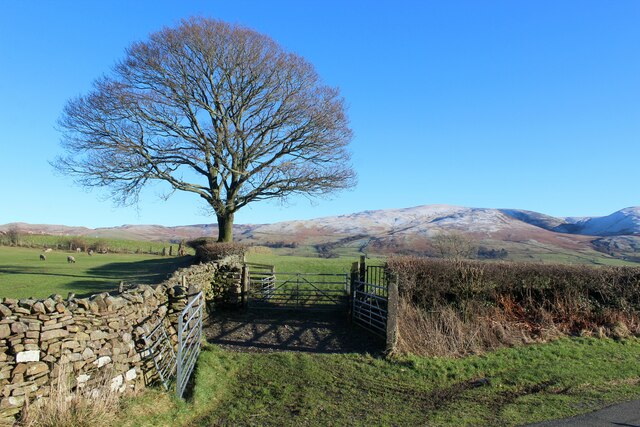
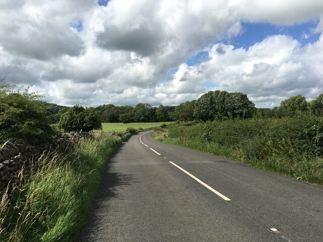
Ullathorns Wood Images
Images are sourced within 2km of 54.272888/-2.5684399 or Grid Reference SD6386. Thanks to Geograph Open Source API. All images are credited.
Ullathorns Wood is located at Grid Ref: SD6386 (Lat: 54.272888, Lng: -2.5684399)
Administrative County: Cumbria
District: South Lakeland
Police Authority: Cumbria
What 3 Words
///wording.valid.procured. Near Sedbergh, Cumbria
Nearby Locations
Related Wikis

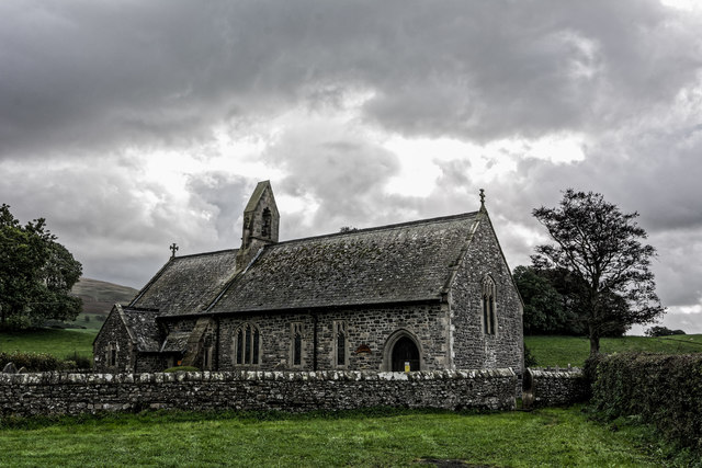
Middleton, Cumbria
Middleton is a village and a civil parish on the A683 road, in the South Lakeland district, in the county of Cumbria, England. Middleton has a church called...

Middleton-on-Lune railway station
Middleton-on-Lune railway station was located in Westmorland, England, (now in Cumbria), serving the hamlet and rural locale of Middleton on the Ingleton...
Beckside
Beckside is a village in Cumbria, England.

Killington, Cumbria
Killington is a village and civil parish in the South Lakeland district of the county of Cumbria, England. It had a population of 152 in 2001, At the...
Nearby Amenities
Located within 500m of 54.272888,-2.5684399Have you been to Ullathorns Wood?
Leave your review of Ullathorns Wood below (or comments, questions and feedback).