Bogarn Wood

Wood, Forest in Kincardineshire

Scotland

Bogarn Wood

Minor road near Glassel
Minor road near Glassel Credit: Steven Brown

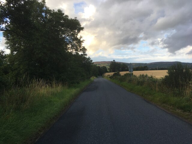
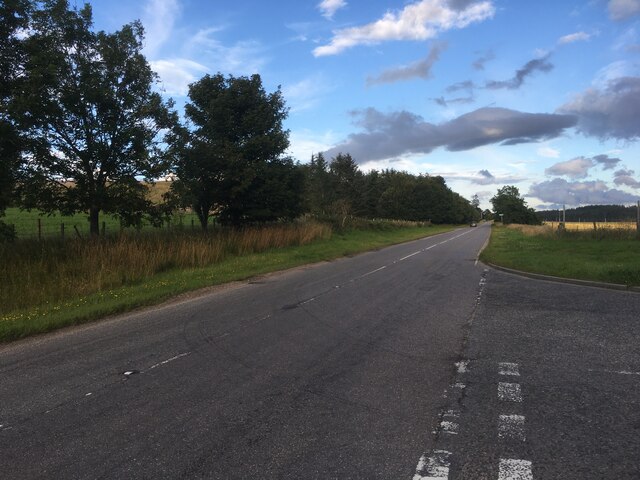
Bogarn Wood is a scenic woodland located in the county of Kincardineshire, Scotland. Spanning approximately 30 hectares, it is nestled within the picturesque countryside and offers visitors a tranquil and immersive natural experience.

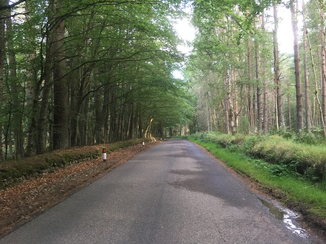
The wood is predominantly composed of native broadleaf trees, including oak, birch, and beech, which create a dense canopy overhead. This rich variety of tree species provides a diverse habitat for a wide range of flora and fauna. The forest floor is covered with an array of wildflowers, ferns, and mosses, creating a vibrant and colorful environment.

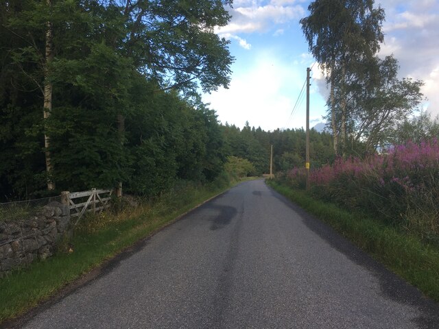
A network of well-maintained footpaths winds through the wood, allowing visitors to explore and appreciate its beauty. These paths lead to various points of interest, such as a serene pond and a small waterfall, adding to the charm of the woodland. Additionally, strategically placed benches provide opportunities for visitors to rest and soak in the tranquil atmosphere.

Bogarn Wood is a haven for birdwatchers, as it is home to numerous bird species, including woodpeckers, owls, and various songbirds. With its diverse ecosystem, it also supports a range of mammal species, such as deer, squirrels, and rabbits.

Managed by local authorities, Bogarn Wood is a popular destination for nature enthusiasts, walkers, and families. Its accessibility and natural beauty make it an ideal location for outdoor activities, picnics, and photography. Whether it is the vibrant colors of autumn or the fresh greenery of spring, Bogarn Wood offers a captivating experience for all who visit.

If you have any feedback on the listing, please let us know in the comments section below.
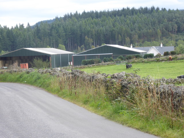
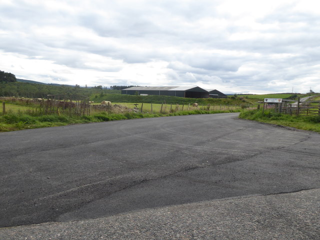
Bogarn Wood Images

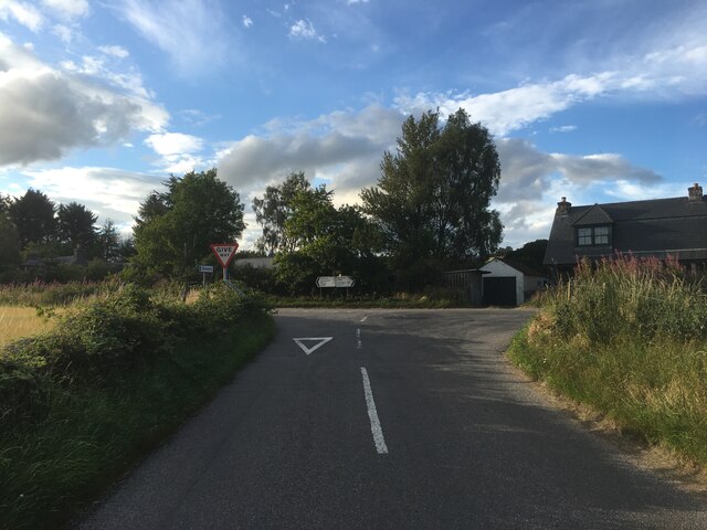
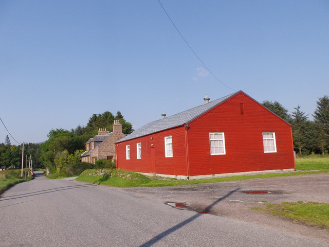
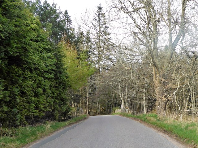
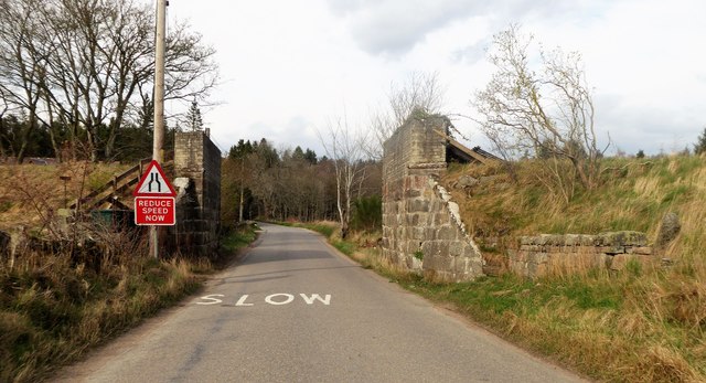
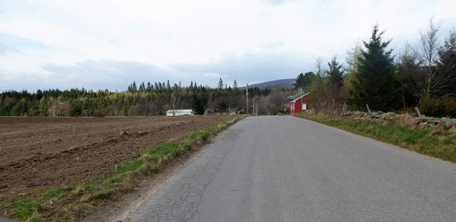
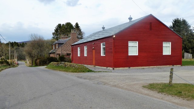
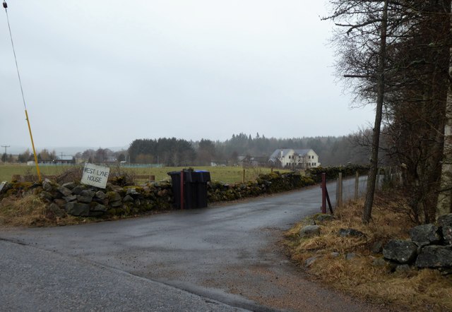
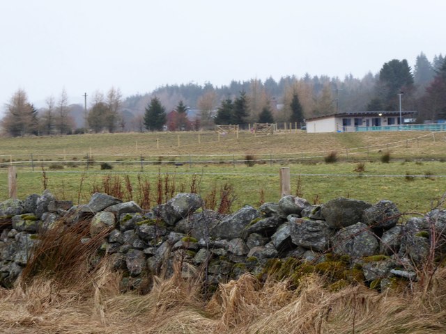
Images are sourced within 2km of 57.085321/-2.574061 or Grid Reference NO6599. Thanks to Geograph Open Source API. All images are credited.

Minor road near Glassel
Minor road near Pittenkerrie
Minor road near Brathens
A980 towards Banchory
Road junction near Milton of Campfield
Glassel village hall (2015) By a minor road between Torphins and Banchory. Weatherboarding a vibrant colour in this afternoon sunshine.
Glassel village hall (2015)
By a minor road between Torphins and Banchory. Weatherboarding a vibrant colour in this afternoon sunshine.
Bridge over Beltie Burn On a minor road at Glassel; Bogarn Wood ahead.
Bridge over Beltie Burn
On a minor road at Glassel; Bogarn Wood ahead.
Dismantled Railway Bridge over minor road At Glassel; the 'road narrows' warning sign is for a blind hump-back stone bridge over the Beltie Burn a short distance ahead.
Dismantled Railway Bridge over minor road
At Glassel; the 'road narrows' warning sign is for a blind hump-back stone bridge over the Beltie Burn a short distance ahead.
Approach to Glassel village hall From near a minor road junction to its south.
Approach to Glassel village hall
From near a minor road junction to its south.
Glassel Village Hall (2017) Not much changed since 2015 (cf <a href="https://www.geograph.org.uk/photo/4628866">NO6599 : Glassel village hall (2015)</a>)
Glassel Village Hall (2017)
Not much changed since 2015 (cf NO6599 : Glassel village hall (2015))
Access to West Lyne House This 'new build' now has a name.
Access to West Lyne House
This 'new build' now has a name.
Stables and paddock, Glassel
Signpost at junction near Sunnyview Seen as arriving from Glassel. 
The present unclassified Bridge of Canny to Craiglash road was part of the route of the original North Deeside road between Kincardine O'Neil and Banchory, but long since superseded by the A93 trunk road close by to the south. (Craiglash is currently the site of a working granite quarry).
Signpost at junction near Sunnyview
Seen as arriving from Glassel. The present unclassified Bridge of Canny to Craiglash road was part of the route of the original North Deeside road between Kincardine O'Neil and Banchory, but long since superseded by the A93 trunk road close by to the south. (Craiglash is currently the site of a working granite quarry).
A new road in preparation From Glassel Village Hall towards Mains of Easter Beltie (on Hill of Beltie: top left). Track not yet mapped.
A new road in preparation
From Glassel Village Hall towards Mains of Easter Beltie (on Hill of Beltie: top left). Track not yet mapped.
View to Hill of Beltie summit (195m asl) From minor road near Glassel Village Hall.
View to Hill of Beltie summit (195m asl)
From minor road near Glassel Village Hall.
Name sign for West Lyne House A relatively new build on the disused Deeside Railway track.
Name sign for West Lyne House
A relatively new build on the disused Deeside Railway track.
Farm buildings near Pittenkerrie Seen from the minor road between Glassel and West Brathens.
Farm buildings near Pittenkerrie
Seen from the minor road between Glassel and West Brathens.
Generously up-graded access to Pittenkerrie farm From the minor road past Woodend of Glassel.
Generously up-graded access to Pittenkerrie farm
From the minor road past Woodend of Glassel.
Show me another place!

Bogarn Wood is located at Grid Ref: NO6599 (Lat: 57.085321, Lng: -2.574061)

Unitary Authority: Aberdeenshire

Police Authority: North East

What 3 Words

///abruptly.enclosing.kennels. Near Torphins, Aberdeenshire

Related Wikis

Glassel railway station

Glassel railway station is a disused railway station in Britain. It served Glassel House, the Mill of Beltie and the local farms and the inhabitants of...

Beltie Burn

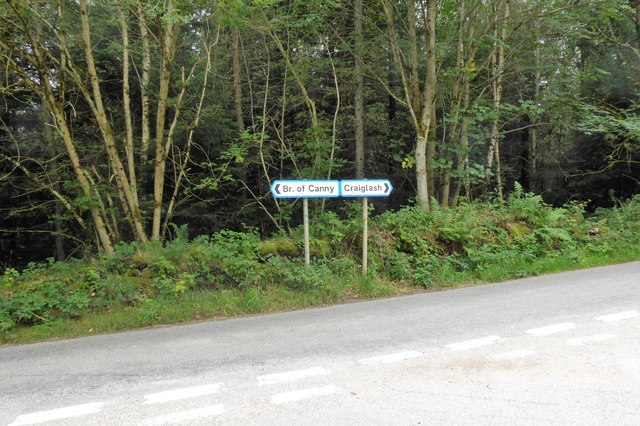
The Beltie Burn is a burn in Aberdeenshire, Scotland, which below Torphins and Glassel is known as the Burn of Canny. It begins in the hill of Benaquhallie...

Brathens

Brathens is a village in Aberdeenshire, Scotland. == References ==

Cluny Crichton Castle

Cluny Crichton Castle (also known as Clounie Crighton Castle) is a ruined 3-story tower house on the southern slopes of the Hill of Fare in Aberdeenshire...

Nearby Amenities

Located within 500m of 57.085321,-2.574061
Glassel
Historic Railway: station
Wikidata: Q60788156
Wikipedia: en:Glassel railway station
Lat/Long: 57.0823406/-2.574761
Mill of Beltie
Place: hamlet
Lat/Long: 57.08387/-2.5764465
Glassel
Place: hamlet
Lat/Long: 57.0825923/-2.5763185
Glasshel Stone Circle
Alt Name: Glassel;Glassel House;Glassel Dam Wood Stone Circle
Archaeological Site: megalith
Historic: archaeological_site
Historic Civilization: prehistoric
Historic Era: neolithic
Historic Period: stone-age
Megalith Type: stone_circle
Wikidata: Q27883229
Lat/Long: 57.08669/-2.581045
Material: wood
Power: pole
Lat/Long: 57.0895112/-2.5728883
Power: pole
Lat/Long: 57.0887781/-2.572762
Power: pole
Lat/Long: 57.08821/-2.5722569
Power: pole
Lat/Long: 57.087584/-2.5717296
Power: pole
Lat/Long: 57.08697/-2.5712201
Power: pole
Lat/Long: 57.0863705/-2.5707105
Power: pole
Lat/Long: 57.0857445/-2.5704048
Power: pole
Lat/Long: 57.0808867/-2.5748845
Power: pole
Lat/Long: 57.0814116/-2.5755247
Power: pole
Lat/Long: 57.081821/-2.5760232
Power: pole
Lat/Long: 57.082748/-2.5768762
The data included in this document is from www.openstreetmap.org. The data is made available under ODbL.

Have you been to Bogarn Wood?

Leave your review of Bogarn Wood below (or comments, questions and feedback).