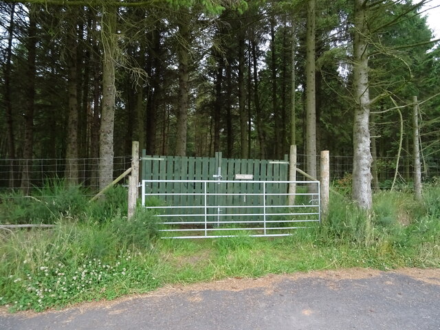
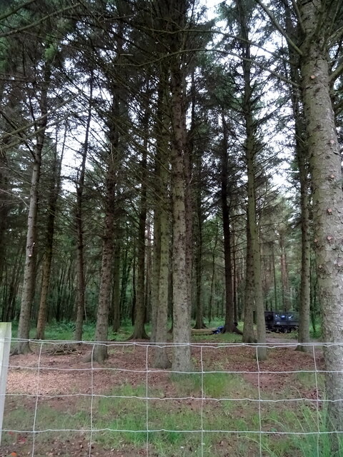
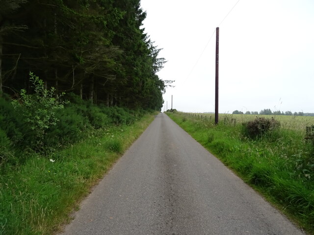
Haggishill Plantation
Wood, Forest in Kincardineshire
Scotland
Haggishill Plantation
The requested URL returned error: 429 Too Many Requests
If you have any feedback on the listing, please let us know in the comments section below.
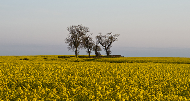
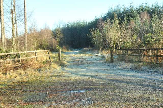
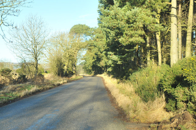
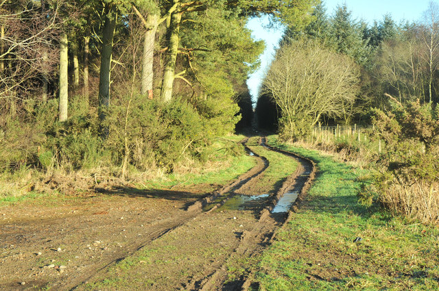
Haggishill Plantation Images
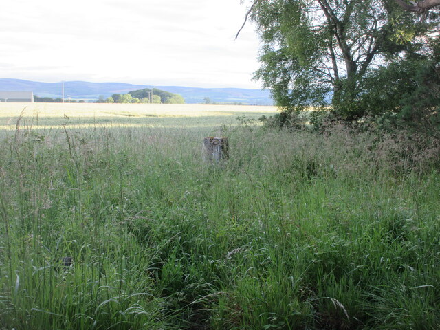
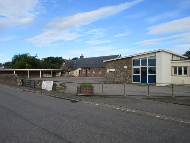
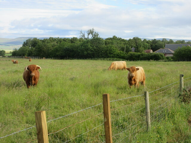
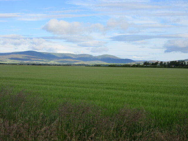
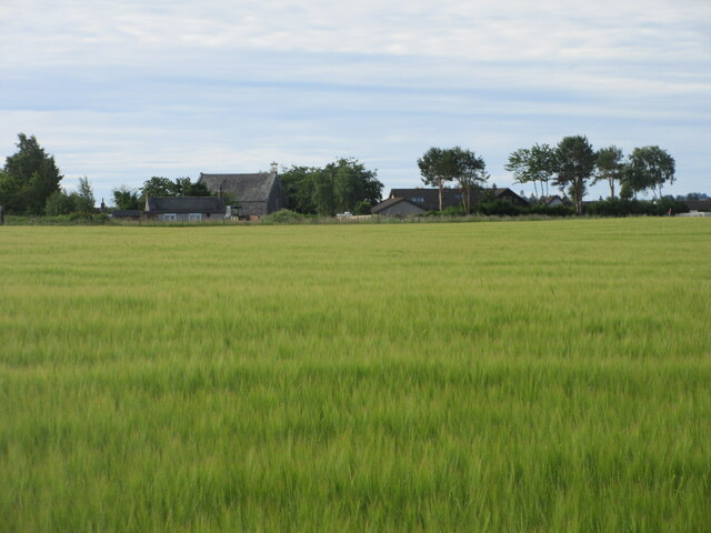
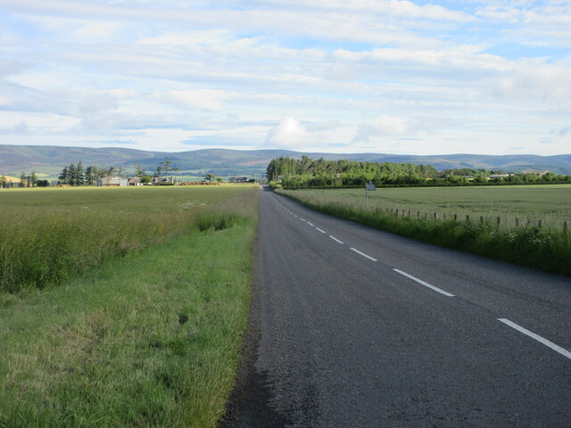
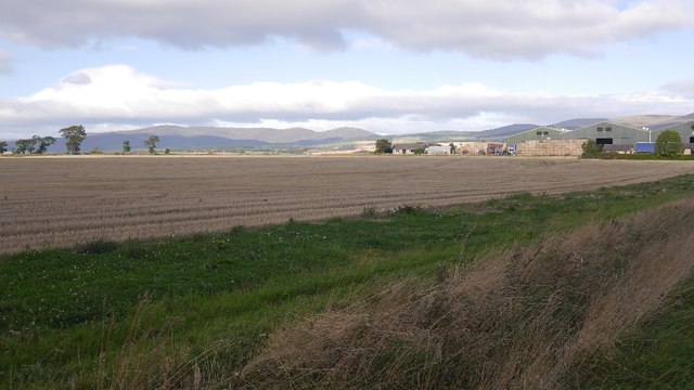
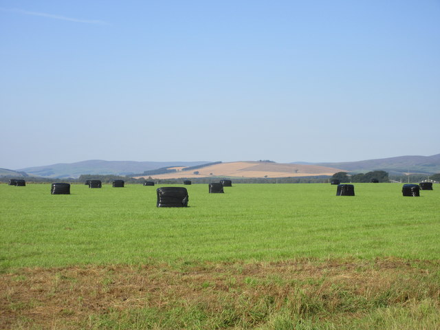
Images are sourced within 2km of 56.819797/-2.5758246 or Grid Reference NO6469. Thanks to Geograph Open Source API. All images are credited.
Haggishill Plantation is located at Grid Ref: NO6469 (Lat: 56.819797, Lng: -2.5758246)
Unitary Authority: Aberdeenshire
Police Authority: North East
What 3 Words
///painting.repeat.cheeses. Near Laurencekirk, Aberdeenshire
Nearby Locations
Related Wikis

Luthermuir
Luthermuir is a village in Aberdeenshire, Scotland, UK. Historically the village was home to weavers and labourers. == Facilities == Luthermuir is home...

RAF Edzell
Royal Air Force Edzell or more simply RAF Edzell is a former Royal Air Force satellite station located in Aberdeenshire, one mile east of Edzell in Angus...

Edzell Woods
Edzell Woods is a village in the Kincardine and Mearns area of Aberdeenshire, Scotland. It is 4 miles (6.4 km) from Edzell by road, but only one mile...
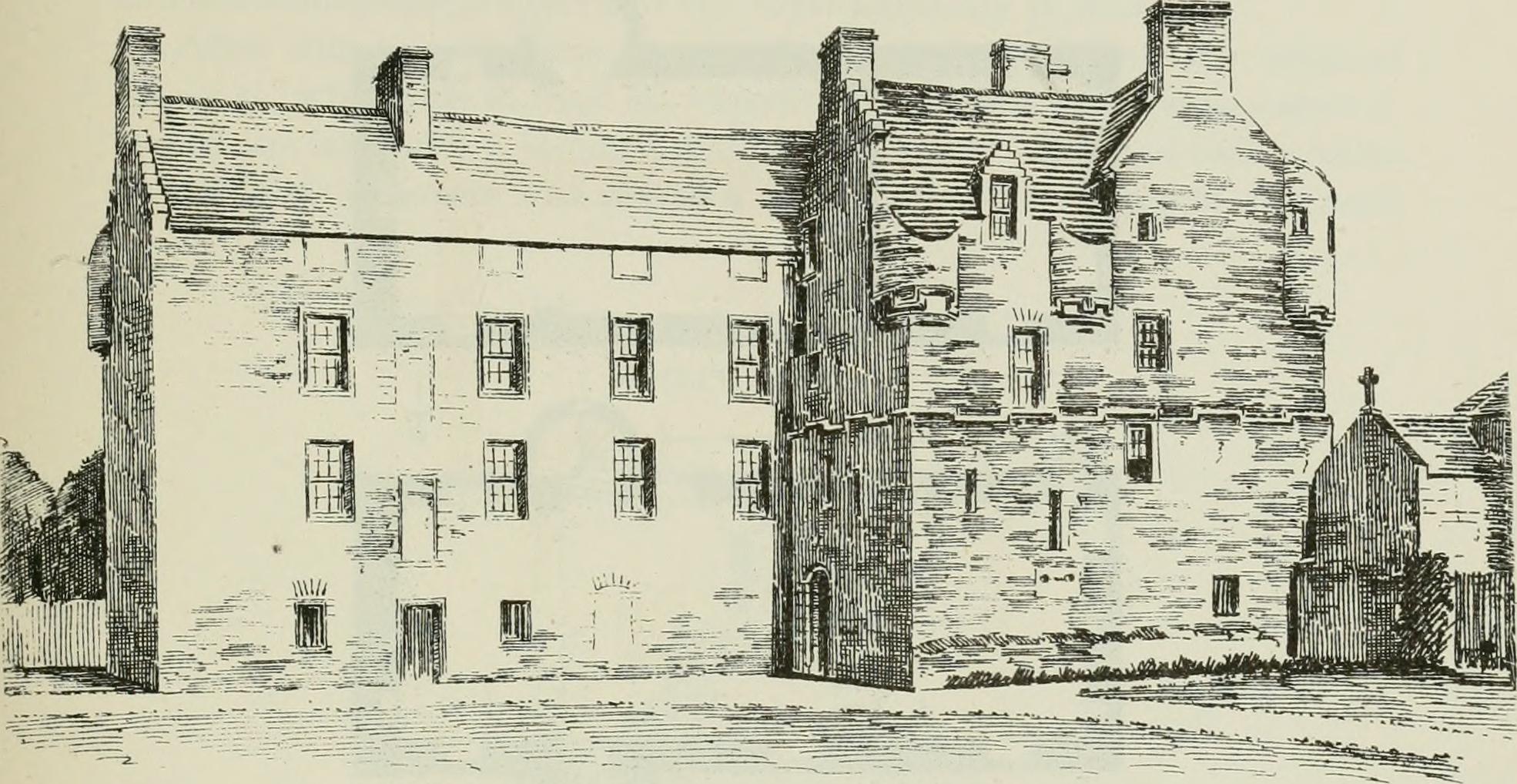
Inglismaldie Castle
Inglismaldie Castle is a castle in the parish of Marykirk and the county of Kincardineshire, Scotland. == History == The Tower House was built in 1636...
Nearby Amenities
Located within 500m of 56.819797,-2.5758246Have you been to Haggishill Plantation?
Leave your review of Haggishill Plantation below (or comments, questions and feedback).