Pipergate Plantation

Wood, Forest in Roxburghshire

Scotland

Pipergate Plantation

Service station on Edinburgh Road (A68), Jedburgh
Service station on Edinburgh Road (A68), Jedburgh Credit: JThomas

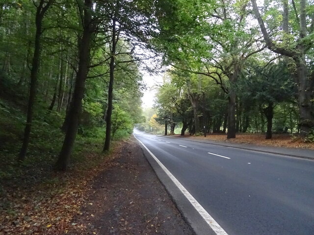
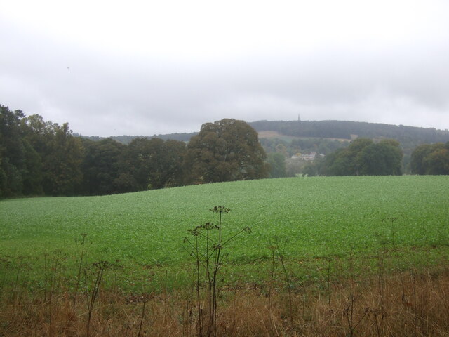
Pipergate Plantation is a picturesque woodland area located in Roxburghshire, Scotland. Situated amidst the stunning landscape of the Scottish Borders, it covers a sprawling area filled with a diverse range of trees and natural vegetation. The plantation is renowned for its enchanting beauty and is a popular destination for nature lovers and outdoor enthusiasts.

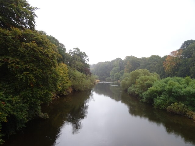
The woodland is primarily composed of a mix of broadleaf and coniferous trees, including oak, beech, pine, and spruce. This diversity of tree species creates a rich and vibrant ecosystem, providing a habitat for various bird species, small mammals, and a myriad of plant life. The plantation's natural beauty is further enhanced by the presence of a tranquil river that meanders through the area, adding to its charm and serenity.

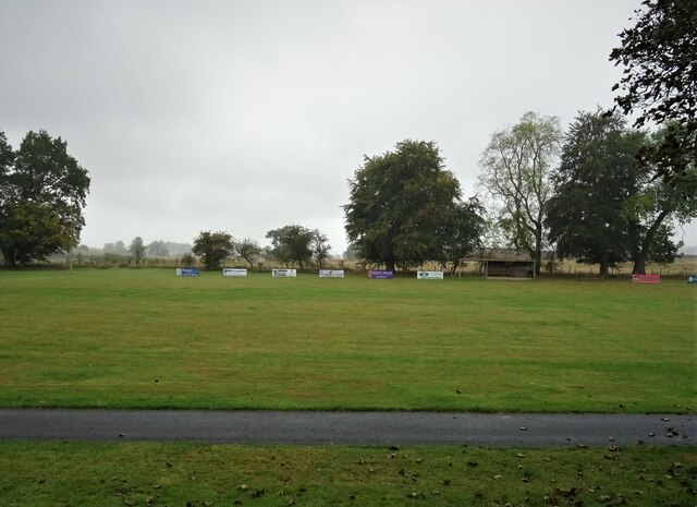
Pipergate Plantation offers a range of recreational activities for visitors to enjoy. Walking and hiking trails wind through the woodland, providing opportunities for exploration and discovery. The plantation is also a popular destination for birdwatching, with many species of birds making their home in the trees and surrounding areas. Wildlife enthusiasts can spot red squirrels, deer, and even the occasional otter along the riverbanks.

Additionally, the plantation has picnic areas and designated spaces for camping, making it an ideal spot for family outings and outdoor gatherings. Its natural beauty and peaceful atmosphere make it a perfect retreat for those seeking a break from the hustle and bustle of everyday life.

Overall, Pipergate Plantation in Roxburghshire is a picturesque woodland destination that offers a stunning display of nature's beauty. With its diverse range of flora and fauna, it provides a sanctuary for both wildlife and visitors alike, making it a must-visit location for nature enthusiasts in the Scottish Borders.

If you have any feedback on the listing, please let us know in the comments section below.

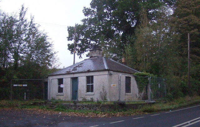
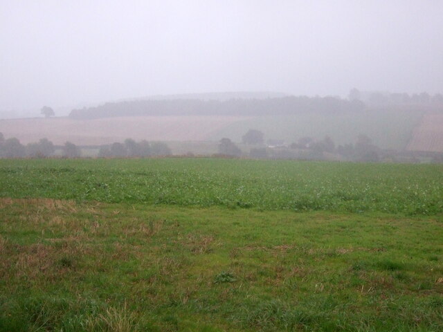
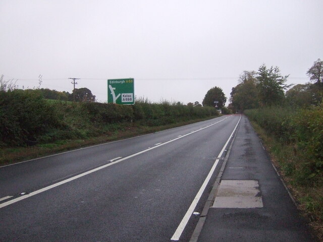
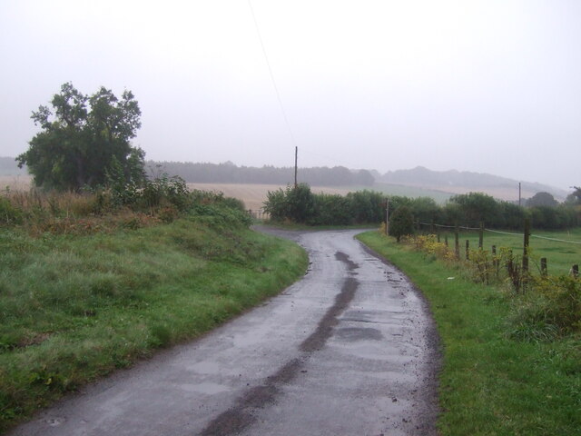
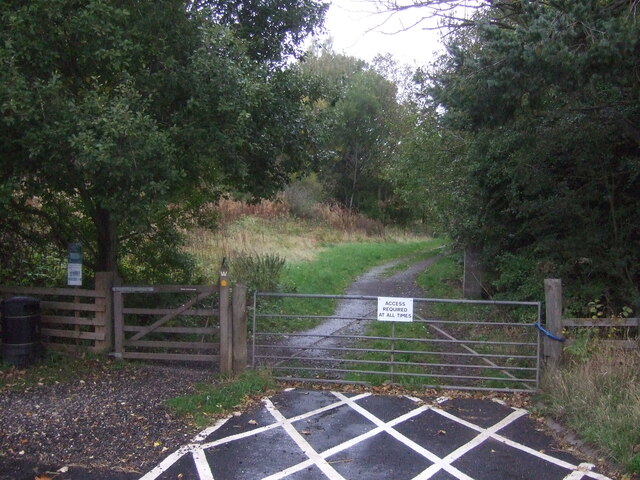
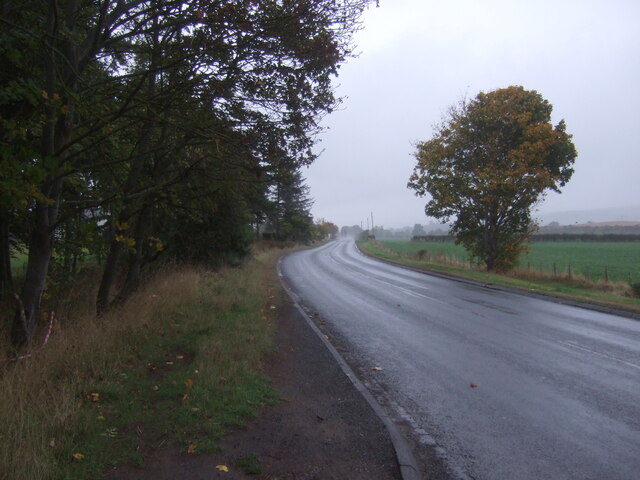
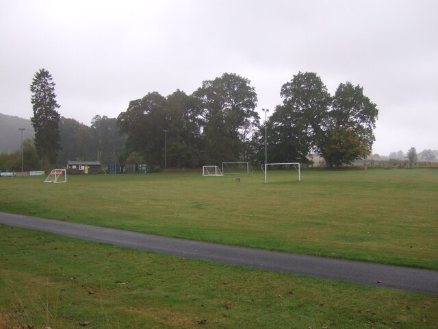
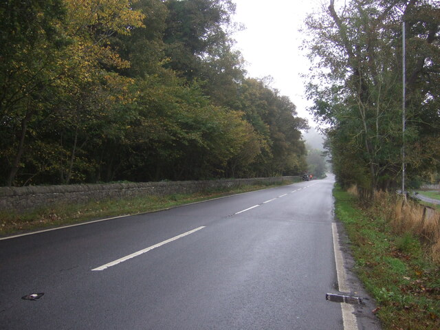
Pipergate Plantation Images

Images are sourced within 2km of 55.497887/-2.5571347 or Grid Reference NT6422. Thanks to Geograph Open Source API. All images are credited.

Service station on Edinburgh Road (A68), Jedburgh
Houses on  Bongate, Jedburgh
Houses on Bongate, Jedburgh
Bongate (A68), Jedburgh
A68 heading north from Jedburgh
Lodge on the A68 At the entrance to Bonjedward House.
Lodge on the A68
At the entrance to Bonjedward House.
Crop field, Bonjedward Off the A68 on a dreich day (hence lack of light and colour).
Crop field, Bonjedward
Off the A68 on a dreich day (hence lack of light and colour).
A68, Bonjedward Towards Edinburgh.
A68, Bonjedward
Towards Edinburgh.
Minor road, Jedfoot Bridge A back way into Jedburgh.
Minor road, Jedfoot Bridge
A back way into Jedburgh.
Track off the A698, Jedfoot Bridge Part of the Borders Abbeys Way path.
Track off the A698, Jedfoot Bridge
Part of the Borders Abbeys Way path.
A698, Jedfoot Bridge Towards Kelso.
A698, Jedfoot Bridge
Towards Kelso.
Sports fields, Ancrum
A68, Ancrum Towards Ancrum Bridge.
A68, Ancrum
Towards Ancrum Bridge.
Crop field and woodland, Jerdonfield Off the A68.
Crop field and woodland, Jerdonfield
Off the A68.
Jedburgh 3 Miles On the A68.
Jedburgh 3 Miles
On the A68.
Postbox on Bongate, Jedburgh Postbox No. TD8 77.

See <a href="https://www.geograph.org.uk/photo/7023038">NT6521 : Postbox and telephone box  on Bongate, Jedburgh</a> for context.
Postbox on Bongate, Jedburgh
Postbox No. TD8 77. See NT6521 : Postbox and telephone box on Bongate, Jedburgh for context.
Postbox and telephone box  on Bongate, Jedburgh Showing position of Postbox No. TD8 77.

See <a href="https://www.geograph.org.uk/photo/7023037">NT6521 : Postbox on Bongate, Jedburgh</a> for postbox.
Postbox and telephone box on Bongate, Jedburgh
Showing position of Postbox No. TD8 77. See NT6521 : Postbox on Bongate, Jedburgh for postbox.
Sports field, Ancrum
The River Teviot, Ancrum From the bridge on the A68.
The River Teviot, Ancrum
From the bridge on the A68.
Show me another place!

Pipergate Plantation is located at Grid Ref: NT6422 (Lat: 55.497887, Lng: -2.5571347)

Unitary Authority: The Scottish Borders

Police Authority: The Lothians and Scottish Borders

What 3 Words

///cured.carpentry.foiled. Near Jedburgh, Scottish Borders

Related Wikis

Bonjedward

Bonjedward (Scottish Gaelic: Bun Jedward) is a hamlet in the Scottish Borders area of Scotland, two miles north of Jedburgh where the Jed Water joins the...

Timpendean Tower

Timpendean Tower (tim-pen-deen) or Typenden Castle as it was once known, is a ruined 15th-century tower house near Lanton, around 1.5 miles (2.4 km) north...

Jedburgh railway station

Jedburgh railway station served the town of Jedburgh, Scottish Borders, Scotland from 1856 to 1964 on the Jedburgh Railway. == History == The station opened...

Jedfoot railway station

Jedfoot railway station served the town of Jedburgh, Scottish Borders, Scotland from 1856 to 1948 on the Jedburgh Railway. == History == The station opened...

Nearby Amenities

Located within 500m of 55.497887,-2.5571347
Power: pole
Lat/Long: 55.4944787/-2.5523488
Power: pole
Lat/Long: 55.4950601/-2.551832
Power: pole
Lat/Long: 55.4956935/-2.5512255
Power: pole
Lat/Long: 55.4963115/-2.5506441
Power: pole
Lat/Long: 55.4969295/-2.5500484
Power: pole
Lat/Long: 55.4975393/-2.5495245
Monklaw
Place: hamlet
Lat/Long: 55.496854/-2.5572562
The Whinny
Place: isolated_dwelling
Lat/Long: 55.5002951/-2.5517624
Ford: yes
Lat/Long: 55.4943394/-2.5617935
Ford: yes
Lat/Long: 55.4942862/-2.5601115
Power: pole
Lat/Long: 55.499214/-2.550386
Power: pole
Lat/Long: 55.4988202/-2.5512306
Power: pole
Lat/Long: 55.4984176/-2.5521087
Power: pole
Lat/Long: 55.4980151/-2.5529404
Power: pole
Lat/Long: 55.4976198/-2.5537978
Power: pole
Lat/Long: 55.4972289/-2.5546656
Power: pole
Lat/Long: 55.4968132/-2.5555051
Power: pole
Lat/Long: 55.4964048/-2.5563754
Power: pole
Lat/Long: 55.4962881/-2.557305
Power: pole
Lat/Long: 55.4962123/-2.5579127
Power: pole
Lat/Long: 55.496485/-2.556602
Power: pole
Lat/Long: 55.4965915/-2.5568775
Power: pole
Lat/Long: 55.4965507/-2.5574414
Power: pole
Lat/Long: 55.4965113/-2.5580775
Power: pole
Lat/Long: 55.499583/-2.5510864
Power: pole
Lat/Long: 55.5001306/-2.5518911
Passing Place
Lat/Long: 55.4938626/-2.5562548
The data included in this document is from www.openstreetmap.org. The data is made available under ODbL.

Have you been to Pipergate Plantation?

Leave your review of Pipergate Plantation below (or comments, questions and feedback).