Crow Wood

Wood, Forest in Roxburghshire

Scotland

Crow Wood

Minor road near Rutherford Burnside Towards Pirnie.
Minor road near Rutherford Burnside Credit: JThomas

Crow Wood is a picturesque forest located in the scenic region of Roxburghshire, Scotland. Encompassing an area of approximately 500 acres, it is a popular destination for nature enthusiasts and outdoor adventurers alike. The wood is located near the village of Denholm and offers a tranquil and serene environment for visitors to explore.

The wood is primarily composed of native species of trees, including oak, birch, and pine, creating a diverse and vibrant ecosystem. The dense foliage and lush greenery provide a habitat for a variety of wildlife such as red squirrels, roe deer, and a multitude of bird species, making it a haven for birdwatchers and wildlife enthusiasts.

For those seeking outdoor activities, Crow Wood offers a network of well-maintained walking trails, ranging from easy strolls to more challenging hikes. These trails wind their way through the forest, offering breathtaking views of the surrounding countryside and the opportunity to immerse oneself in the natural beauty of the area. The wood is also a popular destination for mountain biking, with a designated trail system that caters to riders of all skill levels.

In addition to its natural beauty and recreational opportunities, Crow Wood is also home to a range of historical and archaeological sites. These include remnants of ancient settlements, burial mounds, and an Iron Age hillfort, providing a glimpse into the rich history of the area.

Overall, Crow Wood in Roxburghshire is a captivating destination that offers a harmonious blend of natural beauty, recreational activities, and cultural heritage, making it a must-visit location for nature lovers and history enthusiasts alike.

If you have any feedback on the listing, please let us know in the comments section below.
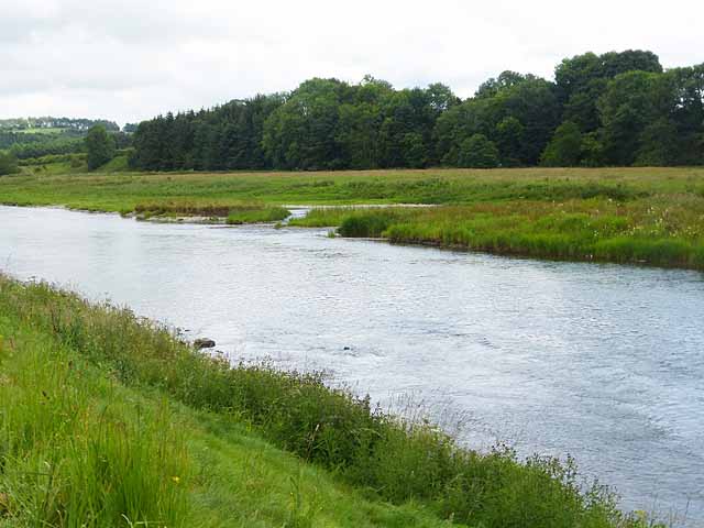
Crow Wood Images

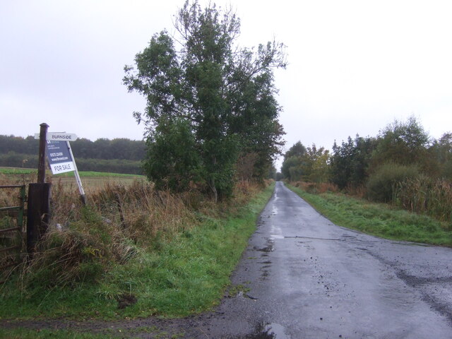
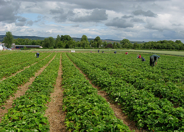
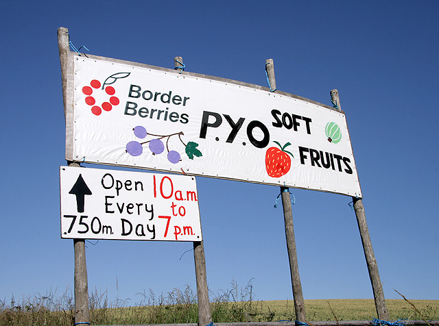
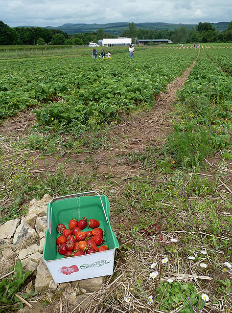
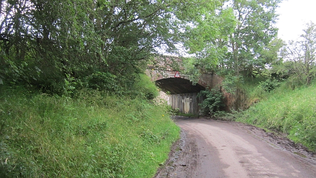
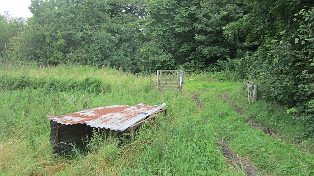
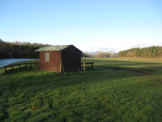
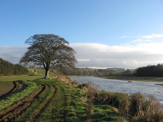
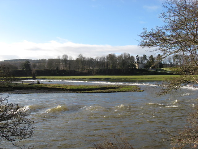
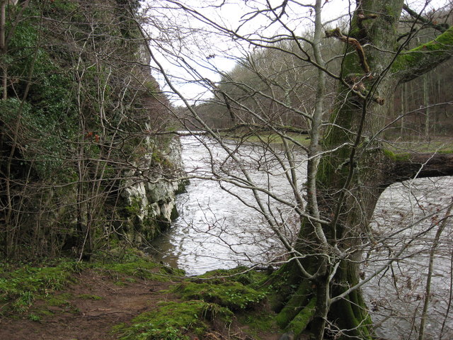
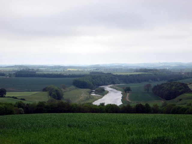
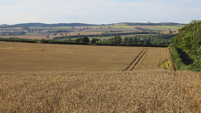
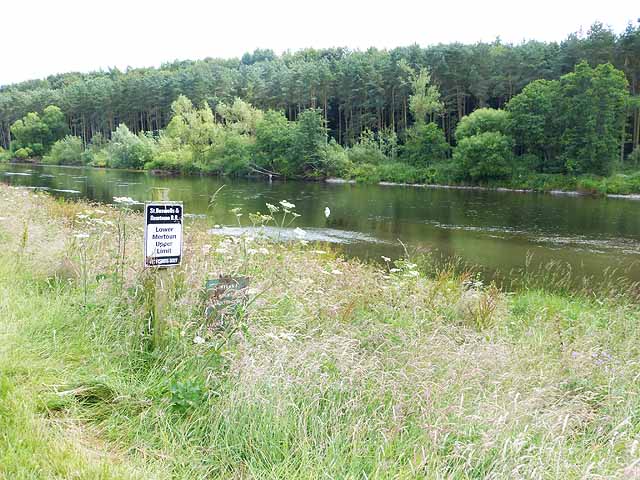
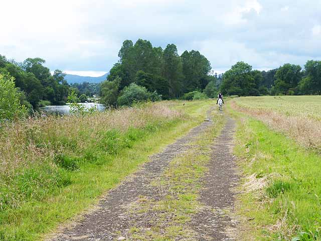
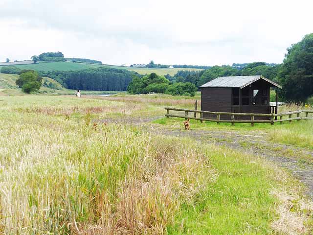
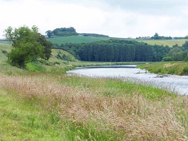
Images are sourced within 2km of 55.571877/-2.5582456 or Grid Reference NT6431. Thanks to Geograph Open Source API. All images are credited.

Minor road near Rutherford Burnside Towards Pirnie.
Minor road near Rutherford Burnside
Towards Pirnie.
Border Berries at Rutherford Farm Two large fields on the south side of the main farm buildings are used during the summer months as a pick your own fruit farm. The main fruits are strawberries, raspberries, gooseberries, red currants and black currants. On this occasion I was picking strawberries.
Border Berries at Rutherford Farm
Two large fields on the south side of the main farm buildings are used during the summer months as a pick your own fruit farm. The main fruits are strawberries, raspberries, gooseberries, red currants and black currants. On this occasion I was picking strawberries.
A sign for Border Berries Fruit Farm This sign is by the A699 at Broomhouse, 700m before the turn-off for Rutherford Farm where Borders Berries is located. For a view of the fruit farm, see <a href="https://www.geograph.org.uk/photo/2515759">NT6430 : Border Berries at Rutherford Farm</a>.
A sign for Border Berries Fruit Farm
This sign is by the A699 at Broomhouse, 700m before the turn-off for Rutherford Farm where Borders Berries is located. For a view of the fruit farm, see NT6430 : Border Berries at Rutherford Farm.
Border Berries A large area on the south side of Rutherford Farm buildings is used during the summer months as a pick your own fruit farm. The main fruits are strawberries, raspberries, gooseberries, red currants, black currants, Tay berries and black berries. Due to an unseasonably cold spring and recent inclement weather some fruits will ripen later than usual but strawberries were ready for picking on my visit.
Border Berries
A large area on the south side of Rutherford Farm buildings is used during the summer months as a pick your own fruit farm. The main fruits are strawberries, raspberries, gooseberries, red currants, black currants, Tay berries and black berries. Due to an unseasonably cold spring and recent inclement weather some fruits will ripen later than usual but strawberries were ready for picking on my visit.
The "Hoot Bridge", Rutherford Overbridge which carried the Kelso Branch over a minor road. There is a sharp left on the other side - hence the owl message <a href="https://www.geograph.org.uk/photo/1988949">NT6430 : Motorists, hoot your horn!</a>.
The "Hoot Bridge", Rutherford
Overbridge which carried the Kelso Branch over a minor road. There is a sharp left on the other side - hence the owl message NT6430 : Motorists, hoot your horn!.
Kelso Branch Railway A track allows farm access to the trackbed which is used as field access here.
Kelso Branch Railway
A track allows farm access to the trackbed which is used as field access here.
Tweed flood plain near Rutherford Grassland beside the Tweed.
Tweed flood plain near Rutherford
Grassland beside the Tweed.
Fishermans Hut This refuge for fisherfolk sits on the banks of the River Tweed downstream from the Mertoun House Estate. The white birds are mute swans.
Fishermans Hut
This refuge for fisherfolk sits on the banks of the River Tweed downstream from the Mertoun House Estate. The white birds are mute swans.
'In Isolation' This fine specimen of a Beech Tree stands close to the River Tweed near Dalcove Braes.
'In Isolation'
This fine specimen of a Beech Tree stands close to the River Tweed near Dalcove Braes.
The Weir at Rutherford Lodge Crossing the Tweed from bank to bank this weir may well be the longest on the river. In spate conditions it's certainly one of the noisiest.
The Weir at Rutherford Lodge
Crossing the Tweed from bank to bank this weir may well be the longest on the river. In spate conditions it's certainly one of the noisiest.
'Footpaths End' This footpath near Corbie Craigs by the River Tweed suddenly ends,needing one to detour somewhat. Unless of course you can walk on water.
'Footpaths End'
This footpath near Corbie Craigs by the River Tweed suddenly ends,needing one to detour somewhat. Unless of course you can walk on water.
Looking over the farming lands at Dalcove in the Scottish Borders With the majestic River Tweed beyond.
Looking over the farming lands at Dalcove in the Scottish Borders
With the majestic River Tweed beyond.
Wheat, Rutherford The excellent harvest weather of 2013.
Wheat, Rutherford
The excellent harvest weather of 2013.
Limit of fishing rights on the River Tweed The notice marks the  boundary between two fishing beats on the River Tweed.
Limit of fishing rights on the River Tweed
The notice marks the boundary between two fishing beats on the River Tweed.
Horse rider on the Border Abbeys Way The Borders Abbeys Way, a circular long-distance walking route in the Scottish Borders here runs alongside the River Tweed. A field of wheat to the right.
Horse rider on the Border Abbeys Way
The Borders Abbeys Way, a circular long-distance walking route in the Scottish Borders here runs alongside the River Tweed. A field of wheat to the right.
Fishermen's hut by the River Tweed The Borders Abbeys Way, a circular long-distance walking route in the Scottish Borders here runs alongside the River Tweed.The dog in the foreground seemed very reluctant to keep pace with his owner (on horseback in the distance). A field of wheat to the left.
Fishermen's hut by the River Tweed
The Borders Abbeys Way, a circular long-distance walking route in the Scottish Borders here runs alongside the River Tweed.The dog in the foreground seemed very reluctant to keep pace with his owner (on horseback in the distance). A field of wheat to the left.
The River Tweed above Dalcove There is an island in the river to the right.  The steep grassy slope ahead to the left is Dalcove Braes.
The River Tweed above Dalcove
There is an island in the river to the right. The steep grassy slope ahead to the left is Dalcove Braes.
River Tweed upstream from Dalcove Braes Showing the eastern end of an island in mid-stream.
River Tweed upstream from Dalcove Braes
Showing the eastern end of an island in mid-stream.
Show me another place!

Crow Wood is located at Grid Ref: NT6431 (Lat: 55.571877, Lng: -2.5582456)

Unitary Authority: The Scottish Borders

Police Authority: The Lothians and Scottish Borders

What 3 Words

///nervy.suffice.poetry. Near Saint Boswells, Scottish Borders

Nearby Locations

Long Stream Crow Wood

Related Wikis

Rutherford railway station

Rutherford railway station served the parish of Maxton, Roxburghshire, Scotland from 1851 to 1964 on the Kelso Line. == History == The station opened in...

Borders Abbeys Way

The Borders Abbeys Way is a long-distance footpath in the Scottish Borders area of Scotland. It is a circular walkway and is 109 kilometres (68 mi) in...

Makerstoun

Makerstoun is a parish in the Scottish Borders area of Scotland, as well as the historic county of Roxburghshire, 4 miles (6 km) south-west of Kelso.The...

Mertoun

Mertoun is a parish in the south-west of the historic county of Berwickshire in the Scottish Borders area of Scotland. Together with the parish of Maxton...

Nearby Amenities

Located within 500m of 55.571877,-2.5582456
Power: pole
Lat/Long: 55.5697651/-2.5514971
Power: pole
Lat/Long: 55.5694433/-2.5534489
Power: pole
Lat/Long: 55.5696123/-2.5524241
Power: pole
Lat/Long: 55.5703009/-2.552782
Power: pole
Lat/Long: 55.5710011/-2.5531889
Power: pole
Lat/Long: 55.5716839/-2.5536112
Power: pole
Lat/Long: 55.5723682/-2.5540051
Power: pole
Lat/Long: 55.573064/-2.5543862
Power: pole
Lat/Long: 55.5737672/-2.5547622
Power: pole
Lat/Long: 55.5740104/-2.5547063
Power: pole
Lat/Long: 55.5747207/-2.5545433
Power: pole
Lat/Long: 55.5753903/-2.5543759
Power: pole
Lat/Long: 55.5738705/-2.5532352
Power: pole
Lat/Long: 55.5737322/-2.5518628
Power: pole
Lat/Long: 55.5692963/-2.5544249
Power: pole
Lat/Long: 55.5691463/-2.555375
Power: pole
Lat/Long: 55.5689775/-2.5564153
Power: pole
Lat/Long: 55.5689469/-2.5575509
Power: pole
Lat/Long: 55.5689338/-2.5587199
Power: pole
Lat/Long: 55.5689192/-2.5598555
Power: pole
Lat/Long: 55.5689163/-2.5610683
Power: pole
Lat/Long: 55.5688988/-2.5623918
Power: pole
Lat/Long: 55.5689017/-2.5627652
Power: pole
Lat/Long: 55.5688814/-2.5639548
The data included in this document is from www.openstreetmap.org. The data is made available under ODbL.

Have you been to Crow Wood?

Leave your review of Crow Wood below (or comments, questions and feedback).