Quarry Plantation

Wood, Forest in Roxburghshire

Scotland

Quarry Plantation

Road, farmland
Road, farmland Credit: Alex McGregor

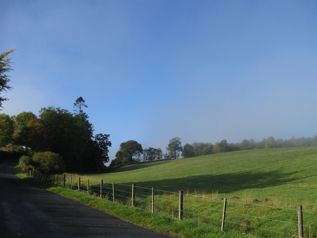
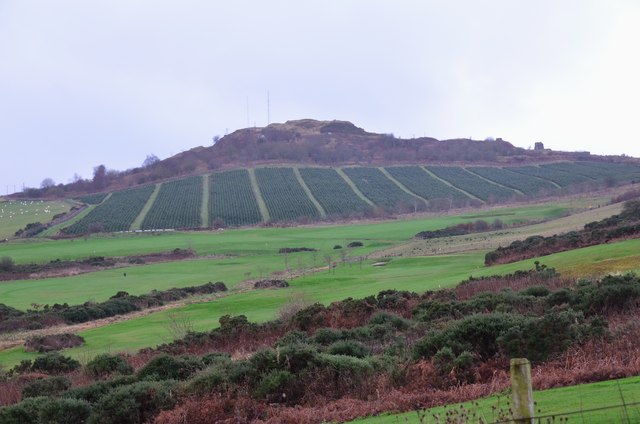
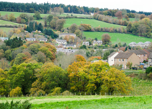
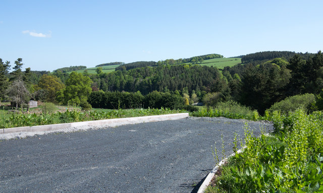
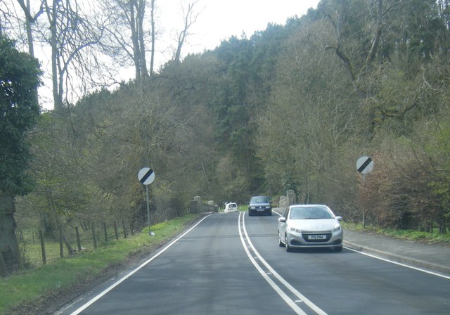
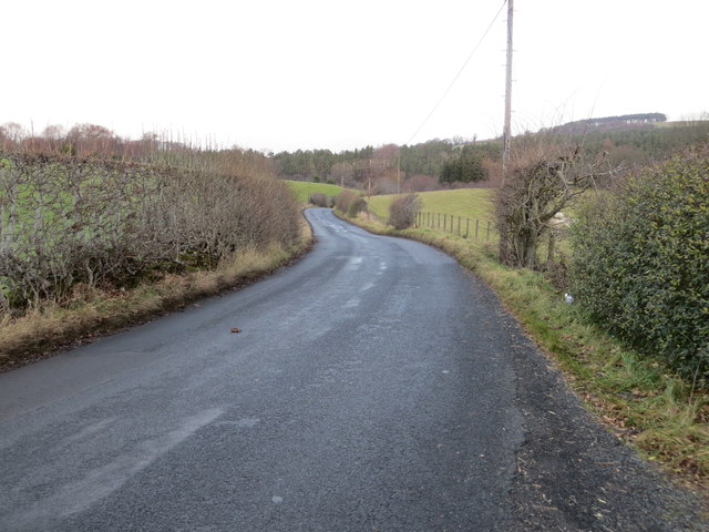
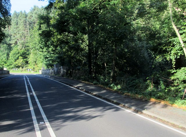
Quarry Plantation is a picturesque woodland located in Roxburghshire, Scotland. Covering an area of approximately 100 acres, the plantation is nestled within the stunning Scottish Borders region. It is a popular destination for nature enthusiasts and those seeking tranquility amidst nature's beauty.

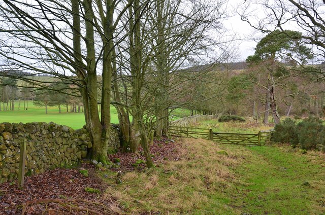
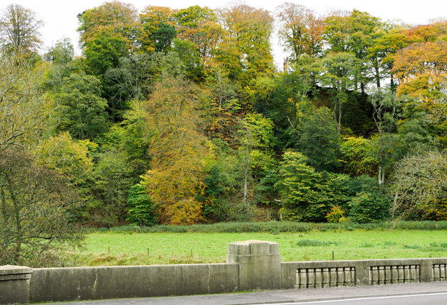
The woodland is predominantly made up of native Scottish tree species, including oak, birch, and rowan. These trees provide a dense canopy that shelters a diverse array of wildlife, making it a haven for birdwatchers and wildlife photographers. Visitors can spot various bird species, such as woodpeckers and owls, as well as mammals like red squirrels and deer.

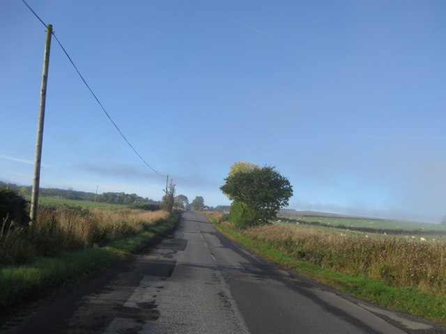
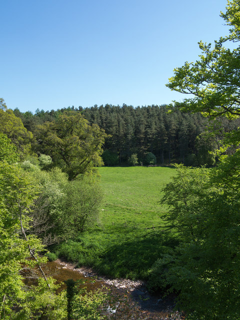
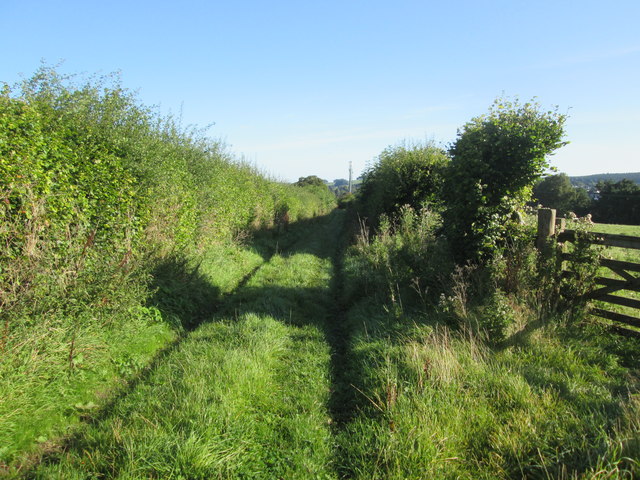
The plantation is crisscrossed by well-maintained trails, allowing visitors to explore the woodland at their own pace. These trails provide stunning views of the surrounding countryside and offer a chance to discover hidden gems within the plantation, such as a picturesque waterfall and a charming pond. The paths are suitable for both leisurely strolls and more adventurous hikes.

In addition to its natural beauty, Quarry Plantation also holds historical significance. The woodland was once part of a larger estate and has remnants of old quarrying activities, which can still be seen today. These historical features add an intriguing element to the plantation, giving visitors a glimpse into the area's past.

Overall, Quarry Plantation in Roxburghshire offers a perfect retreat for those seeking solace in nature. With its diverse wildlife, enchanting trails, and historical charm, it is a place where visitors can immerse themselves in the beauty of the Scottish countryside.

If you have any feedback on the listing, please let us know in the comments section below.

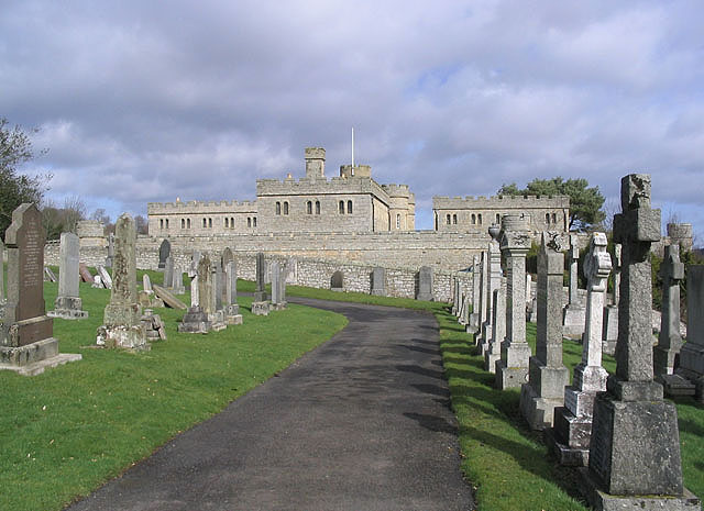
Quarry Plantation Images

Images are sourced within 2km of 55.46038/-2.5728783 or Grid Reference NT6318. Thanks to Geograph Open Source API. All images are credited.

Road, farmland
Road, farmland
B6357 southbound
B6357 southbound
Jedburgh Circular Riding Route near the golf course Here the route crosses the B6358 from Denholm near the golf clubhouse.
Jedburgh Circular Riding Route near the golf course
Here the route crosses the B6358 from Denholm near the golf clubhouse.
Path by Jedburgh Golf Course The path is part of the Circular Riding Route and follows the golf course boundary towards Lanton Hill.
Path by Jedburgh Golf Course
The path is part of the Circular Riding Route and follows the golf course boundary towards Lanton Hill.
Jedburgh Golf Course Looking back up to the clubhouse from the Circular Riding Route.
Jedburgh Golf Course
Looking back up to the clubhouse from the Circular Riding Route.
Dunion Hill Dunion Hill is a secondary summit NE of Black Law. Its NE side, seen here from near the golf course, has been planted with blocks of trees.
Dunion Hill
Dunion Hill is a secondary summit NE of Black Law. Its NE side, seen here from near the golf course, has been planted with blocks of trees.
Field edge view from Howden Triangulation Pillar Looking south-westward.
Field edge view from Howden Triangulation Pillar
Looking south-westward.
Linthaugh Cottage
Linthaugh Cottage
Hedges and oil drums The A68 runs between the two hedge lines. The oil drums appear to be part of a jump for horses - there are other similar things in the field.
Hedges and oil drums
The A68 runs between the two hedge lines. The oil drums appear to be part of a jump for horses - there are other similar things in the field.
Autumnal trees at edge of Howdenburn Glen The Howden Burn (of the Howdenburn Glen) is a minor stream entering the Jed Water to the south of Jedburgh. The houses beyond are of course in the town.
Autumnal trees at edge of Howdenburn Glen
The Howden Burn (of the Howdenburn Glen) is a minor stream entering the Jed Water to the south of Jedburgh. The houses beyond are of course in the town.
Deciduous woodland on slope beyond Hundalee Bridge The trees are on a steep slope with exposed rock. One of the parapets of Hundalee Bridge is in the foreground.
Deciduous woodland on slope beyond Hundalee Bridge
The trees are on a steep slope with exposed rock. One of the parapets of Hundalee Bridge is in the foreground.
A road going nowhere A curious stretch of road! It's broad as it leaves the A68 to the west but it ends within perhaps 30 metres of the junction and the height of the kerbstones and roughness of surface shows that no 'black top' has been applied. Beyond the road end a slope descends so steeply towards the Jed Water that is seems unlikely that it would continue directly in that direction.
A road going nowhere
A curious stretch of road! It's broad as it leaves the A68 to the west but it ends within perhaps 30 metres of the junction and the height of the kerbstones and roughness of surface shows that no 'black top' has been applied. Beyond the road end a slope descends so steeply towards the Jed Water that is seems unlikely that it would continue directly in that direction.
Jed Water below the A68 The river, Jed Water, flowing below a steep slope just south of Jedburgh.
Jed Water below the A68
The river, Jed Water, flowing below a steep slope just south of Jedburgh.
A68 at Inchbonny Bridge
Road (B6357) near Lintalee Looking north-eastward towards the A68.
Road (B6357) near Lintalee
Looking north-eastward towards the A68.
Approaching  Inchbonny  Bridge  A68  south  of  Jedburgh The A68 crosses and recrosses the Jed Water a number of times in this area
Approaching Inchbonny Bridge A68 south of Jedburgh
The A68 crosses and recrosses the Jed Water a number of times in this area
Hunderlee  Bank  on  A68.  Lightpipebrae  Plantation  on  right Cottage tucked in on the right and at the top of the road on the right the access road to Hundalee
Hunderlee Bank on A68. Lightpipebrae Plantation on right
Cottage tucked in on the right and at the top of the road on the right the access road to Hundalee
Track  to  fields  from  Todlaw  Farm Also route of Borders Abbeys Way to Jedburgh
Track to fields from Todlaw Farm
Also route of Borders Abbeys Way to Jedburgh
Show me another place!

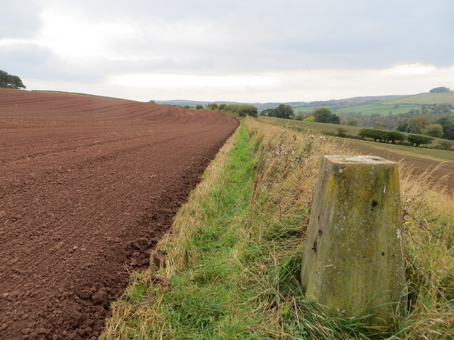
Quarry Plantation is located at Grid Ref: NT6318 (Lat: 55.46038, Lng: -2.5728783)

Unitary Authority: The Scottish Borders

Police Authority: The Lothians and Scottish Borders

What 3 Words

///minus.zone.clouding. Near Jedburgh, Scottish Borders

Related Wikis

Jedforest

Jedforest is an historic forest in the Scottish Borders, that has been heavily wooded in the past. It is close to Jed Water and the town of Jedburgh, from...

Capon Oak Tree

The Capon Oak Tree is one of the last surviving trees of the ancient Jedforest, close to Jed Water, a small river which has cut a course below soft sandstone...

Ferniehirst Castle

Ferniehirst Castle (sometimes spelled Ferniehurst) is an L-shaped construction on the east bank of the Jed Water, about a mile and a half south of Jedburgh...

Jedburgh Castle

Jedburgh Castle was a castle at Jedburgh in Scotland. It was fought over during the Wars of Scottish Independence, and was demolished by the Scots commanded...

Jedburgh Abbey

Jedburgh Abbey, a ruined Augustinian abbey which was founded in the 12th century, is situated in the town of Jedburgh, in the Scottish Borders 10 miles...

Jedburgh Library

Jedburgh Library is now housed in the second building built for Andrew Carnegie in Jedburgh at a cost of £1,700. It was one of the many libraries built...

Port House

The Port House is a Scottish class A listed building in the centre of Jedburgh. The Jedburgh Co-operative Store Company had been founded in 1866 and it...

Canongate Bridge

The Canongate Bridge is a pedestrian bridge in the Scottish Borders town of Jedburgh. It was built as the town's main bridge over the Jed Water in the...

Nearby Amenities

Located within 500m of 55.46038,-2.5728783
Power: pole
Lat/Long: 55.4594583/-2.5662317
Power: pole
Lat/Long: 55.460611/-2.5667056
Power: pole
Lat/Long: 55.4613648/-2.567106
Power: pole
Lat/Long: 55.462013/-2.5668944
Power: pole
Lat/Long: 55.4626615/-2.5666816
Hundalee Farm
Place: hamlet
Lat/Long: 55.4607484/-2.5656045
Noexit: yes
Lat/Long: 55.4603253/-2.5679101
Power: pole
Lat/Long: 55.4627101/-2.577121
Power: pole
Lat/Long: 55.461853/-2.5747999
Power: pole
Lat/Long: 55.4610074/-2.5725704
Power: pole
Lat/Long: 55.4603292/-2.5706616
Power: pole
Lat/Long: 55.4596654/-2.5693228
Power: pole
Lat/Long: 55.4594518/-2.5689004
Power: pole
Lat/Long: 55.4594576/-2.5675718
Power: pole
Lat/Long: 55.4588569/-2.5655363
The data included in this document is from www.openstreetmap.org. The data is made available under ODbL.

Have you been to Quarry Plantation?

Leave your review of Quarry Plantation below (or comments, questions and feedback).