Rammer Wood

Wood, Forest in East Lothian

Scotland

Rammer Wood

Path on Dunbar Common Thanks to recent dry weather, the singletrack gave easy going.
Path on Dunbar Common Credit: Richard Webb

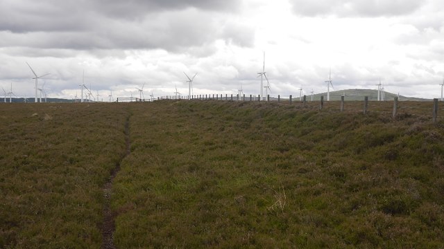
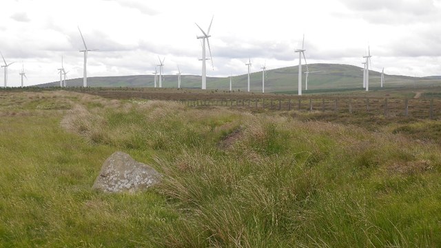
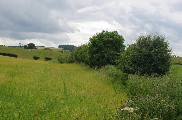
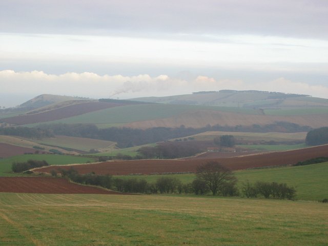
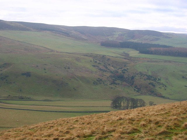
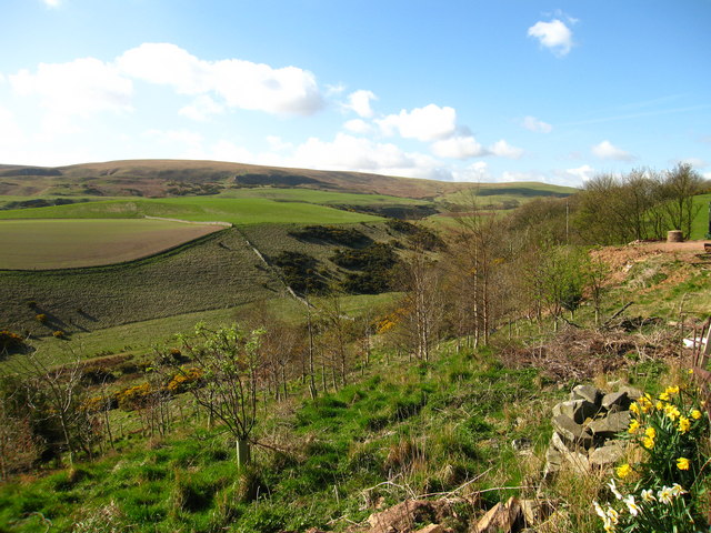
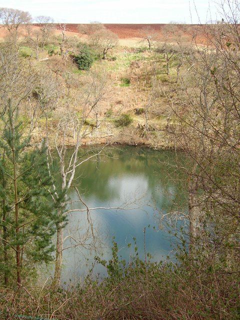
Rammer Wood is a picturesque forest located in East Lothian, Scotland. Spanning an area of approximately 100 hectares, it is known for its diverse flora and fauna, making it a popular destination for nature enthusiasts and hikers.

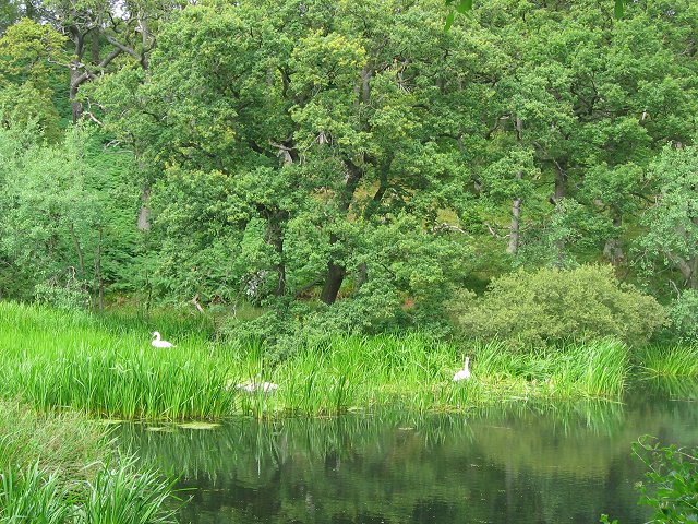
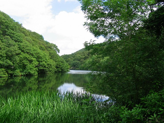
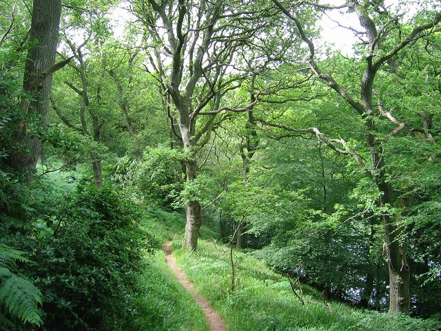
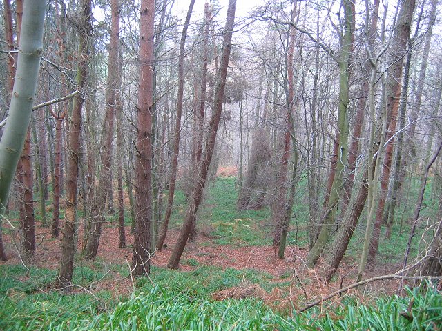
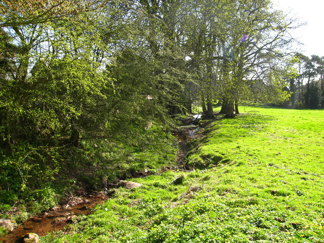
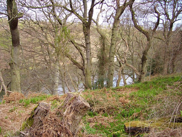
The wood is primarily composed of native broadleaf trees, including oak, ash, and birch, which create a dense canopy that provides shade and shelter. These trees also support a wide range of wildlife, such as red squirrels, roe deer, and a variety of bird species, including woodpeckers and owls.

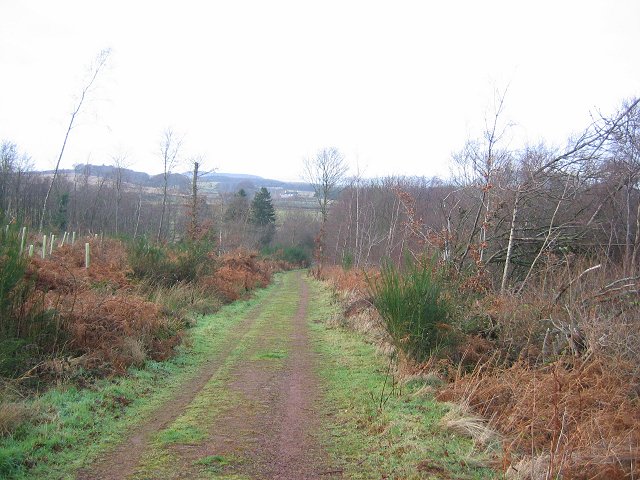
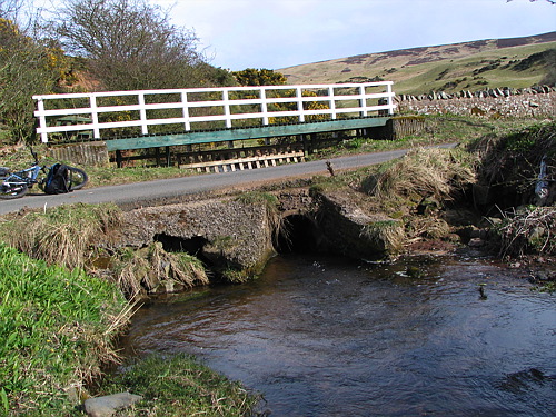
The forest is crisscrossed by a network of well-maintained trails, allowing visitors to explore its natural beauty at their own pace. These paths wind through a mixture of open woodland and dense undergrowth, offering glimpses of wildflowers, ferns, and moss-covered rocks along the way.

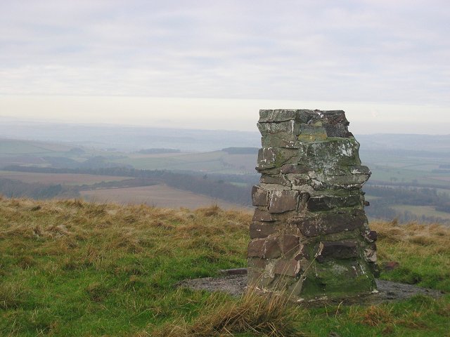
Rammer Wood is also home to a number of archaeological sites, adding to its historical significance. Ancient burial mounds and ruins of old settlements can be found within its boundaries, providing a fascinating glimpse into the area's past.

Given its tranquil atmosphere and stunning scenery, Rammer Wood is a popular spot for outdoor activities such as picnicking, birdwatching, and photography. Whether one is seeking solitude in nature or a family-friendly outing, this forest offers something for everyone.

Overall, Rammer Wood in East Lothian is a captivating natural haven, where visitors can immerse themselves in the beauty of Scotland's woodlands while uncovering its rich history.

If you have any feedback on the listing, please let us know in the comments section below.

Rammer Wood Images

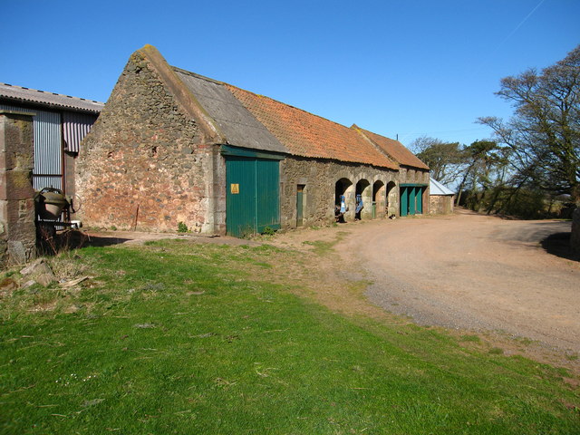
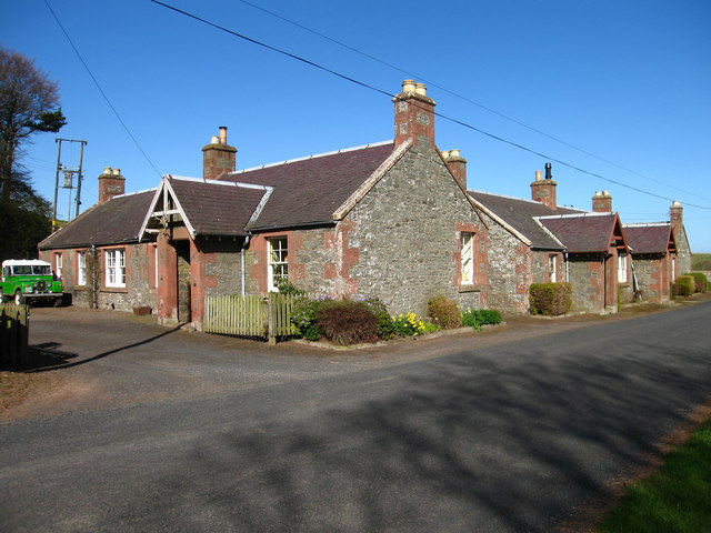
Images are sourced within 2km of 55.937466/-2.5855369 or Grid Reference NT6371. Thanks to Geograph Open Source API. All images are credited.

Path on Dunbar Common Thanks to recent dry weather, the singletrack gave easy going.
Path on Dunbar Common
Thanks to recent dry weather, the singletrack gave easy going.
View towards Spartleton And Crystal Rig II power station from the path up from Deuchrie.
View towards Spartleton
And Crystal Rig II power station from the path up from Deuchrie.
Pressmennan A long artificial loch set in old oakwoods. There were plans to fell the trees in the 1980's and the place became quite famous. Now in the care of the Woodland Trust.
Taken near the dam at the west end of the loch.
Pressmennan
A long artificial loch set in old oakwoods. There were plans to fell the trees in the 1980's and the place became quite famous. Now in the care of the Woodland Trust. Taken near the dam at the west end of the loch.
Pressmennan Looking eastwards along the loch, deep in oakwoods.
Pressmennan
Looking eastwards along the loch, deep in oakwoods.
Pressmennan Path down to the loch opposite the house. Showing off the oaks.
Pressmennan
Path down to the loch opposite the house. Showing off the oaks.
Farmland, Woodend Looking southward over rolling farmland on the edge of the Lammermuir Hills.
Farmland, Woodend
Looking southward over rolling farmland on the edge of the Lammermuir Hills.
Pressmennan Wood The Woodland Trust have been active here, conifers removed and replaced by broadleaves in tully tubes.  Taken just above the car park at 11:20
Pressmennan Wood
The Woodland Trust have been active here, conifers removed and replaced by broadleaves in tully tubes. Taken just above the car park at 11:20
Pressmennan Wood Looking downhill from the upper track in Pressmennan.
Pressmennan Wood
Looking downhill from the upper track in Pressmennan.
Gallows Law. 12:00 noon.   Looking east towards the steam plume from Dunbar cement works on an anticyclonic day. It was cloudy here, but sunny a few miles west at Edinburgh,  The condensed water rises so far, until it meets a layer of warmer air and then the cloud spreads. 
The field in the foreground is about to be ploughed.
Gallows Law.
12:00 noon. Looking east towards the steam plume from Dunbar cement works on an anticyclonic day. It was cloudy here, but sunny a few miles west at Edinburgh, The condensed water rises so far, until it meets a layer of warmer air and then the cloud spreads. The field in the foreground is about to be ploughed.
Deuchrie Dod The decaying trig pillar, unusual for these parts in being stone built. Arthur's Seat can be seen rising above the low level mist in Edinburgh. The plume of cloud is rising from Mossmorran petrochemical works in Fife.
Deuchrie Dod
The decaying trig pillar, unusual for these parts in being stone built. Arthur's Seat can be seen rising above the low level mist in Edinburgh. The plume of cloud is rising from Mossmorran petrochemical works in Fife.
Deuchrie. View south from Deuchrie Dod to the Lammermuir Hills, over Deuchrie Farm's fields.
Deuchrie.
View south from Deuchrie Dod to the Lammermuir Hills, over Deuchrie Farm's fields.
The Ford at Stoneypath The ford needs a fair amount of water before it floods the road. Looks like there's a fair amount of erosion in the pipes.

There are several of these fords locally.
The Ford at Stoneypath
The ford needs a fair amount of water before it floods the road. Looks like there's a fair amount of erosion in the pipes. There are several of these fords locally.
Pathhead Farm, near Stenton Farm buildings.
Pathhead Farm, near Stenton
Farm buildings.
Pathhead, near Stenton Small glen at Pathhead through which Cauld Burn flows. Lothian Edge in distance.
Pathhead, near Stenton
Small glen at Pathhead through which Cauld Burn flows. Lothian Edge in distance.
Gairy Burn at Halls, near Spott Halls is a hamlet of a few houses and a farm in East Lothian.
Gairy Burn at Halls, near Spott
Halls is a hamlet of a few houses and a farm in East Lothian.
Cottages at Halls, near Spott Halls is a hamlet of a few houses and a farm in East Lothian.
Cottages at Halls, near Spott
Halls is a hamlet of a few houses and a farm in East Lothian.
Presmennan Lake Near the eastern end, with gulls enjoying a feast on newly cultivated land above.
Presmennan Lake
Near the eastern end, with gulls enjoying a feast on newly cultivated land above.
Premennan Wood Oakwoods beside Pressmennan Lake.
Premennan Wood
Oakwoods beside Pressmennan Lake.
Show me another place!

Rammer Wood is located at Grid Ref: NT6371 (Lat: 55.937466, Lng: -2.5855369)

Unitary Authority: East Lothian

Police Authority: The Lothians and Scottish Borders

What 3 Words

///nervy.overhear.lads. Near East Linton, East Lothian

Related Wikis

Pressmennan Lake

Pressmennan Lake is a lake in East Lothian in Scotland. It is an artificial reservoir constructed in 1819 by a Mr Nesbit who dammed the streams flowing...

Stenton

Stenton (Scots: Staneton) is a parish and village in East Lothian, Scotland. It is bounded on the north by parts of the parishes of Prestonkirk and Dunbar...

Whittingehame

Whittingehame is a parish with a small village in East Lothian, Scotland, about halfway between Haddington and Dunbar, and near East Linton. The area is...

Whittingehame Tower

Whittingehame Tower, or Whittingehame Castle, is a fifteenth-century tower house about 2.5 miles (4.0 km) south of East Linton, on the west bank of Whittinghame...

Nearby Amenities

Located within 500m of 55.937466,-2.5855369
The data included in this document is from www.openstreetmap.org. The data is made available under ODbL.

Have you been to Rammer Wood?

Leave your review of Rammer Wood below (or comments, questions and feedback).