Chairflat Plantation
Wood, Forest in Roxburghshire
Scotland
Chairflat Plantation

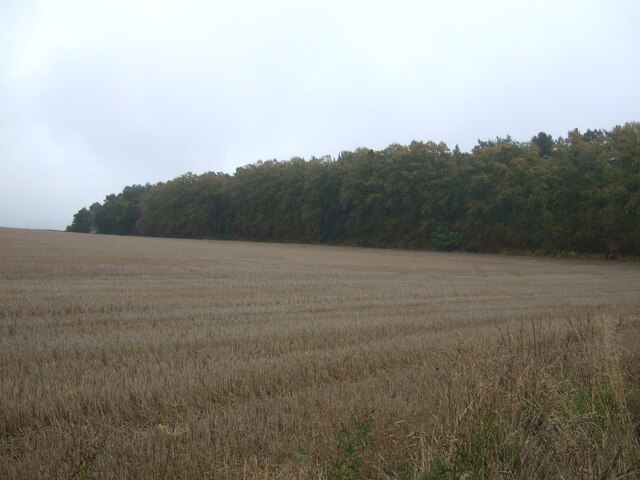
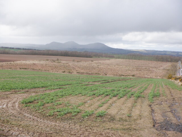
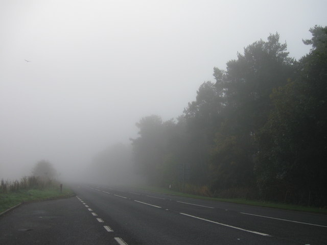
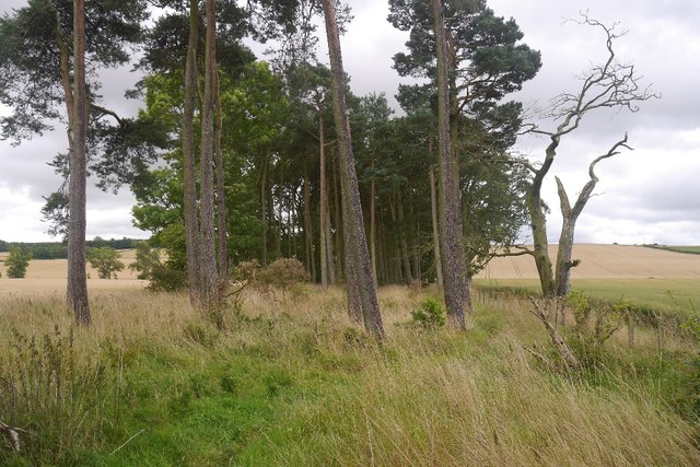
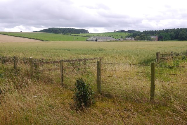
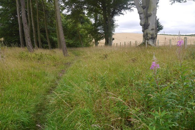
Chairflat Plantation is a sprawling woodland located in Roxburghshire, Scotland. Covering an area of approximately 500 acres, it is a prominent feature of the local landscape. The plantation is primarily composed of various species of trees, including oak, beech, and pine, creating a diverse and picturesque forest.
The plantation offers a haven for a wide range of wildlife, serving as an important habitat for numerous bird species, mammals, and insects. It is particularly known for its diverse bird population, attracting birdwatchers and nature enthusiasts from near and far. Visitors may spot species such as the Eurasian jay, common buzzard, and great spotted woodpecker among others.
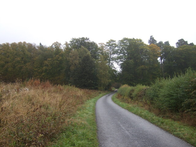
The woodland is crisscrossed by a network of footpaths and trails, making it an ideal destination for nature walks and hikes. These trails offer visitors the opportunity to immerse themselves in the natural beauty of the forest and discover its hidden gems, such as tranquil ponds and cascading waterfalls. Additionally, the plantation is home to several picnic areas, providing a perfect spot for visitors to relax and enjoy a meal surrounded by nature.
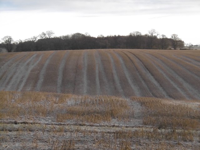
Chairflat Plantation is managed by local authorities, who actively work to maintain the health and sustainability of the woodland. This includes regular tree planting initiatives and ongoing forest management practices. The plantation also serves as a valuable resource for timber production, contributing to the local economy.
Overall, Chairflat Plantation is a captivating woodland destination that offers visitors a chance to escape the hustle and bustle of everyday life and connect with nature in a tranquil and scenic environment.
If you have any feedback on the listing, please let us know in the comments section below.
Chairflat Plantation Images
Images are sourced within 2km of 55.543189/-2.5846525 or Grid Reference NT6327. Thanks to Geograph Open Source API. All images are credited.


Chairflat Plantation is located at Grid Ref: NT6327 (Lat: 55.543189, Lng: -2.5846525)
Unitary Authority: The Scottish Borders
Police Authority: The Lothians and Scottish Borders
What 3 Words
///noted.manual.thickens. Near Saint Boswells, Scottish Borders
Nearby Locations
Related Wikis

Battle of Ancrum Moor
The Battle of Ancrum Moor was fought during the War of the Rough Wooing in 1545. The Scottish victory put a temporary end to English incursions in the...

Monteath Mausoleum
The Monteath Mausoleum is a large landmark in the Scottish Borders near the village of Ancrum. The listed building can be seen from the A68 road just north...

Maxton railway station
Maxton railway station served the hamlet of Maxton, Roxburghshire, Scotland from 1851 to 1964 on the Kelso Line. == History == The station opened in June...

Peniel Heugh
Peniel Heugh (237 m) is a hill near Ancrum and Nisbet in the Scottish Borders area of Scotland. On it stands the Waterloo Monument. == Geology == The heugh...

Waterloo Monument
The Waterloo Monument near Ancrum in the Scottish Borders is a 150-foot tower, built between 1817 and 1824 to commemorate the Battle of Waterloo. It was...
Maxton, Roxburghshire
Maxton is a hamlet and civil parish in Roxburghshire, Scotland, and part of the Scottish Borders region. Maxton lies just off the A68, south of St. Boswells...
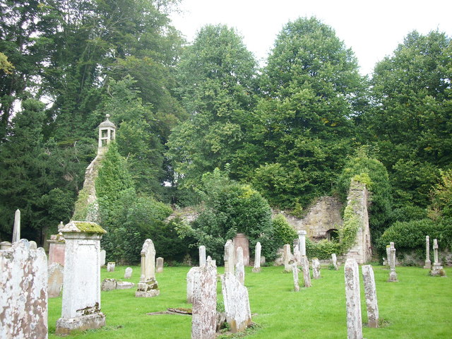
Ancrum Old Parish Church
Ancrum Old Parish Church is situated just over half a mile north west of the village of Ancrum in the Scottish Borders area of Scotland, on the B4600 road...

Ancrum
Ancrum (Scottish Gaelic: Alan Crom) is a village in the Borders area of Scotland, 5 km (3.1 mi) northwest of Jedburgh.The village — which currently has...
Related Videos

lilliardsedge holiday park linden pod 1
pod with hot tub in jedburgh scotland.

Lilliardsedge Holiday Park
this week we stayed at a lodge {and it was freezing}

Roman road - walking along Dere Street
Roman road - walking along Dere Street. #live #travel #history Come with me along Dere Street, or Watling Street, or St Cuthbert's ...

Edgefest was 🔥🔥🔥 | Beard Life | Braw Beard (2023) #edgefest
edgefest was Let's do it again. With a Braw Beard product purchase, you're not just a customer but a privileged member.
Nearby Amenities
Located within 500m of 55.543189,-2.5846525Have you been to Chairflat Plantation?
Leave your review of Chairflat Plantation below (or comments, questions and feedback).