Millburn Wood

Wood, Forest in Aberdeenshire

Scotland

Millburn Wood

Part of the cemetery at Ythanwell Looking north-eastward.
Part of the cemetery at Ythanwell Credit: Peter Wood

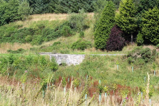
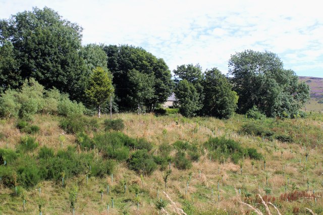
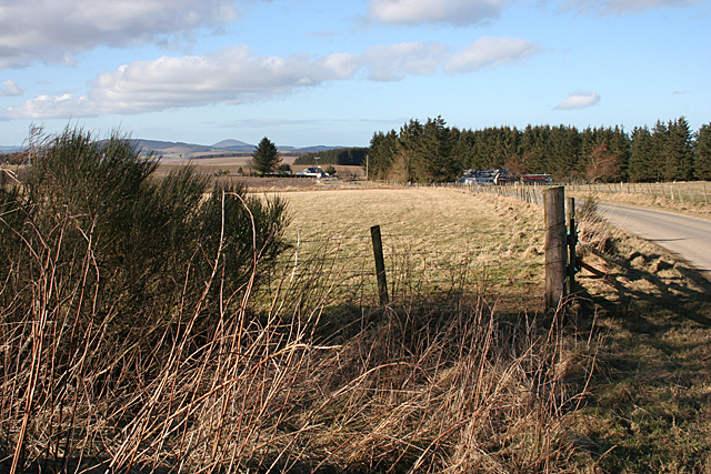
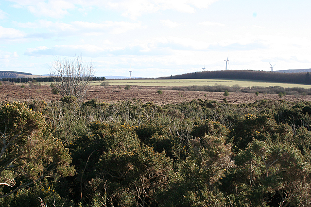
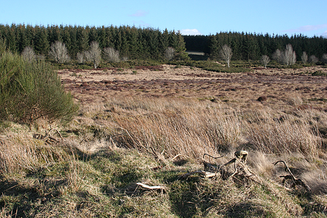
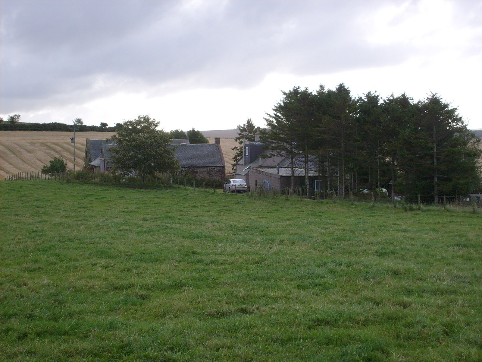
Millburn Wood is a stunning woodland area located in Aberdeenshire, Scotland. Spread across an area of approximately 100 acres, this enchanting forest is known for its diverse flora and fauna, making it a popular destination for nature enthusiasts and hikers.

The wood is home to a wide variety of tree species, including towering Scots pines, majestic oaks, and graceful birches. These trees create a dense canopy that provides shelter for numerous bird species such as woodpeckers, owls, and songbirds. The forest floor is adorned with a carpet of wildflowers, adding a burst of color to the landscape during the spring and summer months.

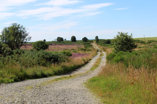
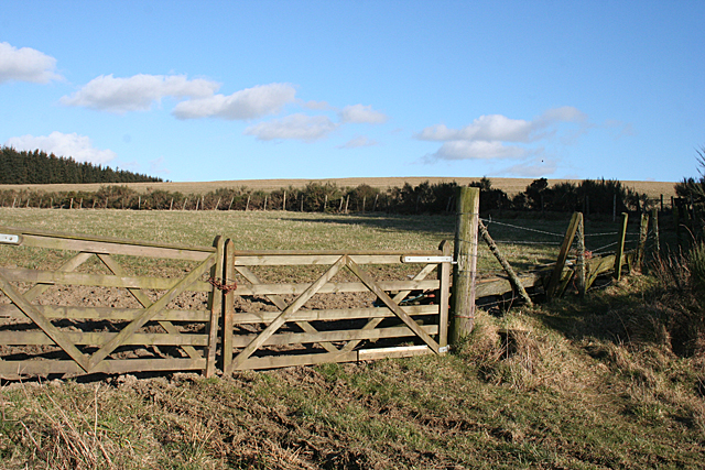
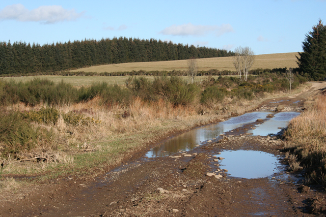
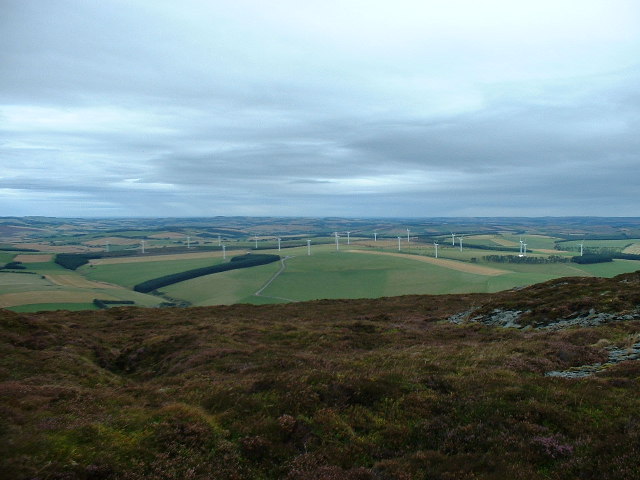
Visitors to Millburn Wood can explore the numerous walking trails that wind their way through the forest, offering breathtaking views of the surrounding countryside. The paths are well-maintained, making it accessible for people of all ages and fitness levels. Along the way, there are several picnic areas and benches where visitors can take a break and soak in the serene ambiance.

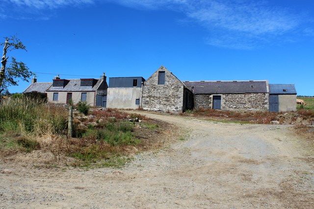
In addition to its natural beauty, Millburn Wood also has a rich cultural history. The remnants of an ancient settlement can be found within the forest, with evidence of stone circles and burial mounds dating back thousands of years. This adds an intriguing archaeological aspect to the woodland experience.

Millburn Wood is a true gem in Aberdeenshire, offering a peaceful retreat from the hustle and bustle of everyday life. Whether it's for a leisurely stroll, birdwatching, or simply immersing oneself in nature, this forest provides a tranquil haven for all who visit.

If you have any feedback on the listing, please let us know in the comments section below.

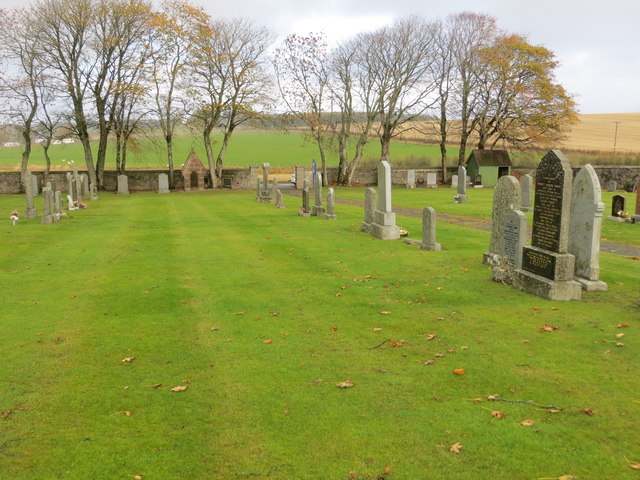
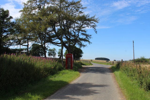
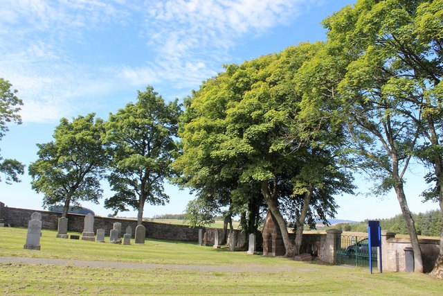
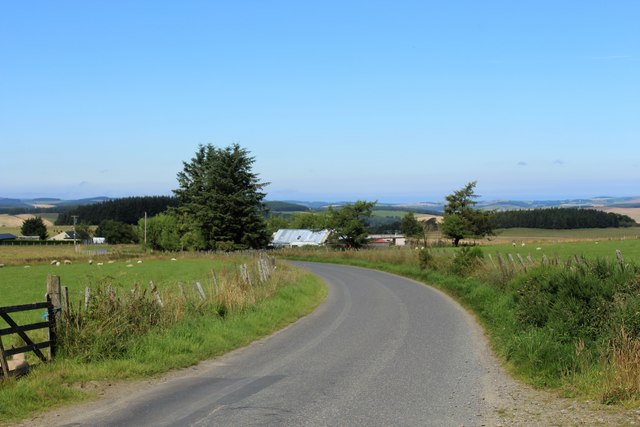
Millburn Wood Images

Images are sourced within 2km of 57.418327/-2.6223343 or Grid Reference NJ6236. Thanks to Geograph Open Source API. All images are credited.

Part of the cemetery at Ythanwell Looking north-eastward.
Part of the cemetery at Ythanwell
Looking north-eastward.
Ythanwells Telephone The red telephone kiosk at Ythanwells crossroads.
Ythanwells Telephone
The red telephone kiosk at Ythanwells crossroads.
Ythanwells Cemetery Roadside trees inside the cemetery at Ythanwells.
Ythanwells Cemetery
Roadside trees inside the cemetery at Ythanwells.
Croft by Broom Hill A small croft by the roadway near Broom Hill.
Croft by Broom Hill
A small croft by the roadway near Broom Hill.
Track to Bisset Moss A track west into Bisset Moss.
Track to Bisset Moss
A track west into Bisset Moss.
Upper Millburn The shuttered and locked farmhouse and steading of Upper Millburn.
Upper Millburn
The shuttered and locked farmhouse and steading of Upper Millburn.
Millburn Barn An old disused building by Upper Millburn Farm. It's location by the Mill Burn would suggest that it contained the mill which gave the farm its name.
Millburn Barn
An old disused building by Upper Millburn Farm. It's location by the Mill Burn would suggest that it contained the mill which gave the farm its name.
Millburn Bridge A road bridge over the Mill Burn near Upper Millburn.
Millburn Bridge
A road bridge over the Mill Burn near Upper Millburn.
Auchintender Bridge A road bridge over the Mill Burn by Auchintender.
Auchintender Bridge
A road bridge over the Mill Burn by Auchintender.
Auchintender in Woodland A glimpse of Auchintender through sheltering trees.
Auchintender in Woodland
A glimpse of Auchintender through sheltering trees.
Ythanwells Phone and Crossroad The telephone kiosk by the crossroads at Ythanwells.
Ythanwells Phone and Crossroad
The telephone kiosk by the crossroads at Ythanwells.
Rashieslack
Rashieslack
Upper Heathfield Upper Heathfield is on the left at the far side of the field, and to the right of the road is a cottage that is unnamed on the maps. The distinctive shape of Knock Hill is on the horizon.
Upper Heathfield
Upper Heathfield is on the left at the far side of the field, and to the right of the road is a cottage that is unnamed on the maps. The distinctive shape of Knock Hill is on the horizon.
Broom Hill Although it is a very modest hill - its summit is barely 30 metres above here - it has, or perhaps had, a triangulation pillar, which I might investigate one day when the wind drops a bit.
Broom Hill
Although it is a very modest hill - its summit is barely 30 metres above here - it has, or perhaps had, a triangulation pillar, which I might investigate one day when the wind drops a bit.
Wet Road The lowest part of this road on to Bisset Moss is two or three inches under water, but fortunately the verges were reasonably firm so it was possible to get past dryshod.The old maps show this track going right across Bisset Moss to Bainshole, but the more recent ones show it petering out part of the way across.  In the background is part of the forest plantation on Broom Hill.
Wet Road
The lowest part of this road on to Bisset Moss is two or three inches under water, but fortunately the verges were reasonably firm so it was possible to get past dryshod.The old maps show this track going right across Bisset Moss to Bainshole, but the more recent ones show it petering out part of the way across. In the background is part of the forest plantation on Broom Hill.
Bisset Moss Bisset Moss remains unimproved; even the mid-Victorian map, surveyed at the time when the land here was most densely populated, shows it as scrub.
Bisset Moss
Bisset Moss remains unimproved; even the mid-Victorian map, surveyed at the time when the land here was most densely populated, shows it as scrub.
Bisset Moss These days, a view of Bisset Moss brings with it a view of the Glens of Foudland wind farm.
Bisset Moss
These days, a view of Bisset Moss brings with it a view of the Glens of Foudland wind farm.
Bisset Moss Looking across towards <a href="https://www.geograph.org.uk/photo/972442">NJ6237 : A break in the shelter belt</a>, which according to the first edition six-inch map was originally the entrance to an old pit, the purpose of which I do not know.
Bisset Moss
Looking across towards NJ6237 : A break in the shelter belt, which according to the first edition six-inch map was originally the entrance to an old pit, the purpose of which I do not know.
Show me another place!

Millburn Wood is located at Grid Ref: NJ6236 (Lat: 57.418327, Lng: -2.6223343)

Unitary Authority: Aberdeenshire

Police Authority: North East

What 3 Words

///shields.expect.overture. Near Insch, Aberdeenshire

Nearby Locations

Millburn Wood

Related Wikis

Ythanwells

Ythanwells () is a village in the Marr area of Aberdeenshire, Scotland, lying 10.6 kilometres (6.6 mi) east of Huntly. The village is sometimes known...

Bainshole

Bainshole is a farm in Aberdeenshire, Scotland. == References ==

Ythan Wells

Ythan Wells, also known as Glenmailen, is the site of a Roman military camp, near the farm of Glenmellan, 2.1 kilometres (1.3 mi) east of the village of...

Colpy

Colpy is a hamlet in Aberdeenshire, Scotland, situated 3 miles (5 kilometres) north of Insch. == External links == Colpy in the Gazetteer for Scotland...

Frendraught Castle

Frendraught Castle or House is a 17th-century house, about 6 miles (9.7 km) east of Huntly, Aberdeenshire, Scotland, and 1 mile (1.6 km) west of Largue...

Brideswell, Aberdeenshire

Brideswell (Scottish Gaelic: Tobar Bhrìde) is a village in Aberdeenshire, Scotland. It is named in honour of Brigid of Ireland.

Drumblade

Drumblade is a hamlet in north-western Aberdeenshire, Scotland, which lies 4¾ miles east of the town of Huntly. == Schools == Drumblade Primary School...

Auldyoch

Auldyoch is a farm in Aberdeenshire, Scotland. == References ==

Related Videos

Hill of Tillymorgan walk, Aberdeenshire, Scotland, UK

This is a short climb of Hill of Tillymorgan starting from the church at Kirkton of Culsalmond. First heading through fields before a ...

Nearby Amenities

Located within 500m of 57.418327,-2.6223343
Power: pole
Lat/Long: 57.4171525/-2.624782
Power: pole
Lat/Long: 57.4175491/-2.6256449
Power: pole
Lat/Long: 57.417957/-2.6265385
Power: pole
Lat/Long: 57.418369/-2.6274456
Power: pole
Lat/Long: 57.4188378/-2.6284926
Power: pole
Lat/Long: 57.4193469/-2.629601
The data included in this document is from www.openstreetmap.org. The data is made available under ODbL.

Have you been to Millburn Wood?

Leave your review of Millburn Wood below (or comments, questions and feedback).