Stell Plantation

Wood, Forest in Berwickshire

Scotland

Stell Plantation

An old road alignment Tar showing through the moss at the edge of a farmyard. This would have been the route of the A6105 at one time, a bend has been straightened out with an embankment.
An old road alignment Credit: Richard Webb

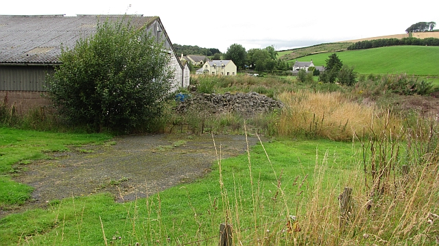
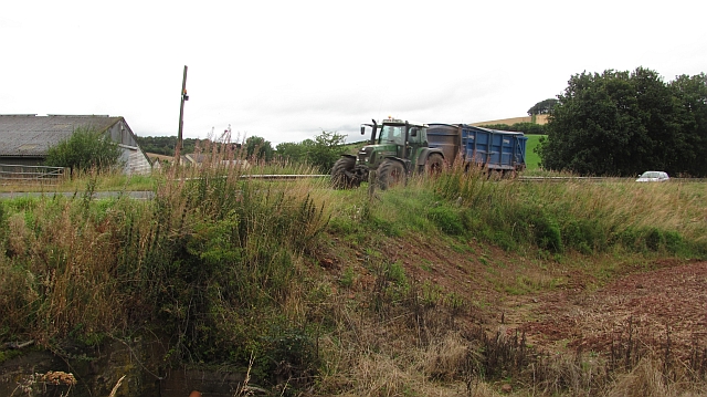
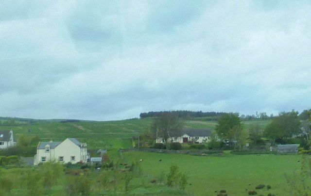
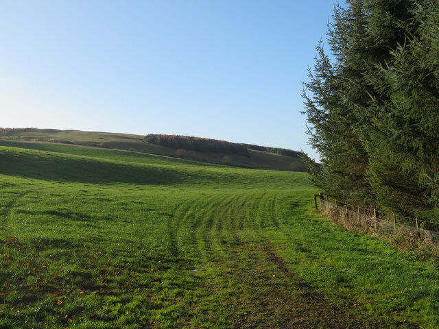
Stell Plantation is a picturesque woodland located in the county of Berwickshire, Scotland. Covering an area of approximately 200 acres, it is a haven for nature enthusiasts and outdoor lovers alike. The plantation is situated near the small village of Stell, offering visitors a serene and tranquil retreat from the bustling city life.

The woodland is predominantly composed of native tree species such as oak, beech, and birch, creating a diverse and vibrant ecosystem. The dense foliage provides ample shade and shelter for a variety of wildlife, including deer, foxes, and numerous bird species. It is not uncommon to spot red squirrels darting between the trees or to hear the melodic songs of woodland birds echoing through the air.

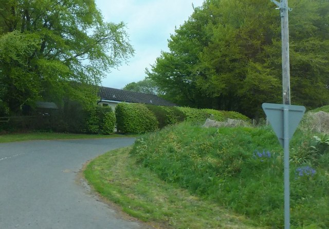
Stell Plantation offers a range of recreational activities for visitors to enjoy. Numerous walking trails wind their way through the woodland, providing opportunities for leisurely strolls or more adventurous hikes. The paths are well-maintained and clearly signposted, ensuring safe and easy navigation for all ages and abilities.

As visitors explore the plantation, they will also come across several picturesque ponds and streams, adding to the beauty and tranquility of the surroundings. These water features provide habitats for various aquatic creatures, further enhancing the biodiversity of the area.

Overall, Stell Plantation is a natural gem in the heart of Berwickshire, offering a peaceful retreat where visitors can immerse themselves in the beauty of the Scottish woodland. Whether it's a leisurely walk, birdwatching, or simply enjoying the serenity of nature, this woodland sanctuary has something to offer for everyone.

If you have any feedback on the listing, please let us know in the comments section below.

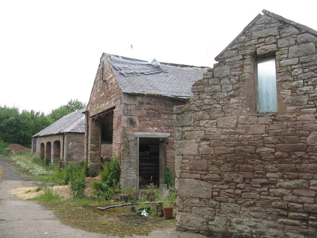
Stell Plantation Images

Images are sourced within 2km of 55.663027/-2.6492265 or Grid Reference NT5941. Thanks to Geograph Open Source API. All images are credited.

An old road alignment Tar showing through the moss at the edge of a farmyard. This would have been the route of the A6105 at one time, a bend has been straightened out with an embankment.
An old road alignment
Tar showing through the moss at the edge of a farmyard. This would have been the route of the A6105 at one time, a bend has been straightened out with an embankment.
Embankment,  A6105 The road has been straightened here. The tractor is hauling newly harvested grain.
Embankment, A6105
The road has been straightened here. The tractor is hauling newly harvested grain.
Peaty soil, Gordon Moss Beyond this damp field with exposed black soil is an area of woodland on Gordon Moss.
Peaty soil, Gordon Moss
Beyond this damp field with exposed black soil is an area of woodland on Gordon Moss.
New fence Newly worked ground on hilly ground above Gordon Moss.
New fence
Newly worked ground on hilly ground above Gordon Moss.
Scattered housing by East Morriston
Road into East Morriston
Strimming near West Morriston
Road to West Morriston and Legerwood
Arable land, Morriston Direct drilled cereal field. Beyond the arable land is a wetland area.
Arable land, Morriston
Direct drilled cereal field. Beyond the arable land is a wetland area.
A6105 Heading westward, towards Black Hill and the Eildons.
A6105
Heading westward, towards Black Hill and the Eildons.
Wheat at West Morriston Looking northeast, with grain storage silos in the trees.
Wheat at West Morriston
Looking northeast, with grain storage silos in the trees.
Wheat and grass crops at West Morriston A view to the southeast.
Wheat and grass crops at West Morriston
A view to the southeast.
Cottages at West Morriston A row of four adjacent to the farm.
Cottages at West Morriston
A row of four adjacent to the farm.
Fieldscape at East Morriston Looking southeast across rape and cereal fields.
Fieldscape at East Morriston
Looking southeast across rape and cereal fields.
Scottish Borders road side The A6105, looking towards Earlston and the Eildon Hills.
Scottish Borders road side
The A6105, looking towards Earlston and the Eildon Hills.
Farm buildings at East Morriston Presumably not much used now.
Farm buildings at East Morriston
Presumably not much used now.
Rural building site At East Morriston, between Earlston and Gordon.
Rural building site
At East Morriston, between Earlston and Gordon.
Pasture south of Legerwood Looking southwest to hillside plantations, overlooking the valley of the Legerwood Burn.
Pasture south of Legerwood
Looking southwest to hillside plantations, overlooking the valley of the Legerwood Burn.
Show me another place!

Stell Plantation is located at Grid Ref: NT5941 (Lat: 55.663027, Lng: -2.6492265)

Unitary Authority: The Scottish Borders

Police Authority: The Lothians and Scottish Borders

What 3 Words

///mascots.resorting.renovated. Near Earlston, Scottish Borders

Related Wikis

Legerwood Kirk

Legerwood Kirk is an ancient and historic Church of Scotland church in the former county of Berwickshire, Scotland. It is situated half a mile east of...

Legerwood

Legerwood is a village by the Eden Water, in the Scottish Borders area of Scotland, near Lauder, near the Southern Upland Way. Legerwood Kirk is outside...

Earlston High School

Earlston High School is a secondary school in Earlston, Scottish Borders. It serves Earlston, as well as the surrounding area. Since 2009, the school has...

Corsbie Castle

Corsbie Castle is a ruined 16th-century tower house, about 2.5 miles (4.0 km) west of Gordon, Scottish Borders, Scotland, and north of the Eden Water....

Nearby Amenities

Located within 500m of 55.663027,-2.6492265
Design: barrel
Power: tower
Lat/Long: 55.6650444/-2.6507796
Design: barrel
Power: tower
Lat/Long: 55.6652072/-2.6448783
The data included in this document is from www.openstreetmap.org. The data is made available under ODbL.

Have you been to Stell Plantation?

Leave your review of Stell Plantation below (or comments, questions and feedback).