Acres Plantation
Wood, Forest in East Lothian
Scotland
Acres Plantation

Acres Plantation is a picturesque woodland located in East Lothian, Scotland. Covering an area of approximately 450 acres, it is a prime example of a well-preserved forest ecosystem. The plantation is situated on the eastern outskirts of the town of Haddington and is easily accessible by both car and public transport.
The woodland is primarily made up of a diverse range of tree species, including Scots pine, oak, birch, and beech. These trees create a lush and vibrant canopy, providing a haven for a variety of wildlife. Visitors to Acres Plantation can expect to encounter numerous bird species, such as woodpeckers, songbirds, and owls, as well as small mammals like squirrels and rabbits.
The plantation is crisscrossed with well-maintained walking trails, allowing visitors to explore the forest and appreciate its natural beauty. The paths wind through dense foliage, offering glimpses of sunlight filtering through the leaves and creating a serene and peaceful atmosphere. Along the way, there are several viewpoints that provide stunning vistas of the surrounding countryside, including the rolling hills and farmland of East Lothian.
Acres Plantation is not only a haven for wildlife but also a popular destination for outdoor enthusiasts. The forest offers opportunities for walking, hiking, and cycling, with trails suitable for all levels of fitness and ability. Additionally, the woodland is equipped with picnic areas and benches, providing visitors with the perfect spot to relax and enjoy a scenic lunch surrounded by nature.
Overall, Acres Plantation in East Lothian is a picturesque woodland that offers a tranquil escape from the hustle and bustle of everyday life. With its diverse wildlife, well-maintained trails, and stunning views, it is an ideal destination for nature lovers and outdoor adventurers alike.
If you have any feedback on the listing, please let us know in the comments section below.
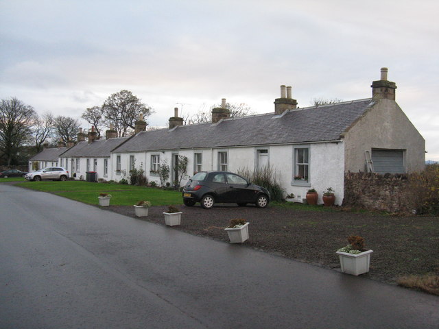
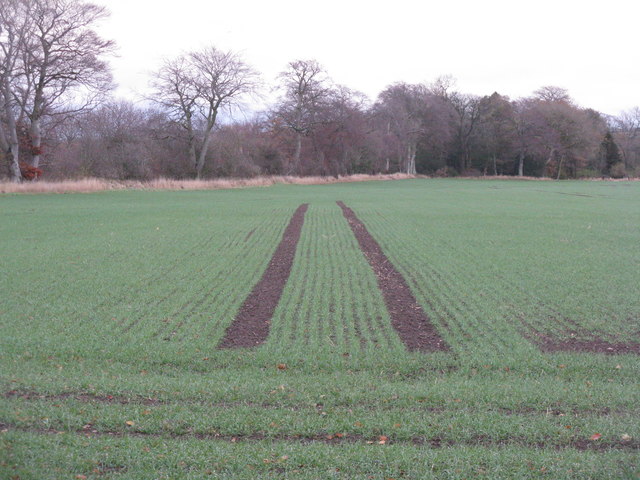
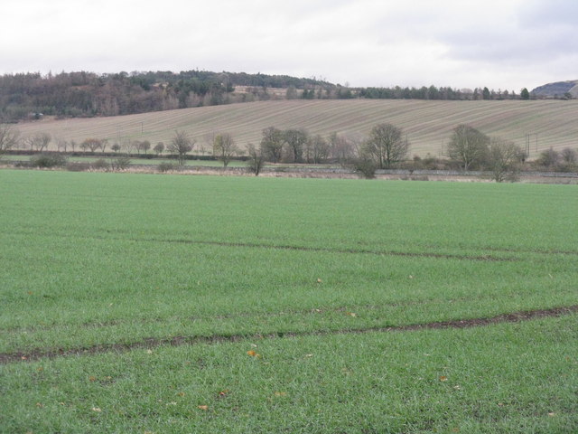
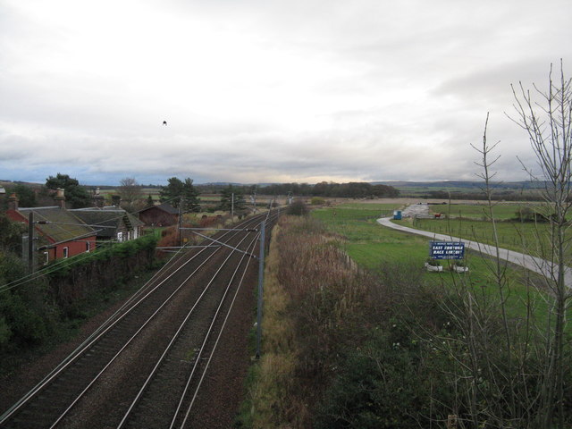
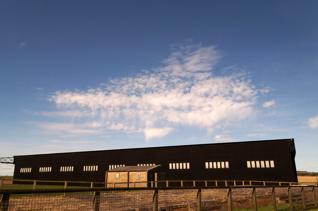
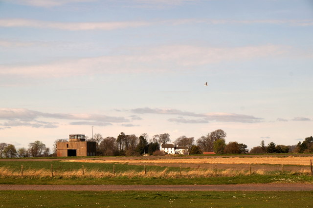
Acres Plantation Images
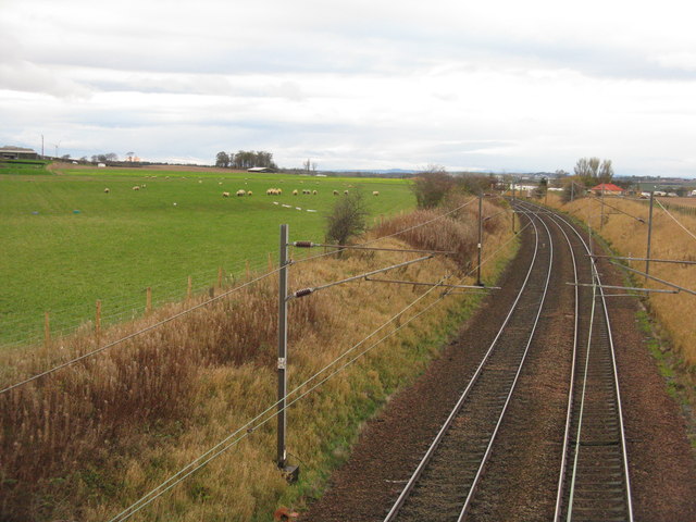
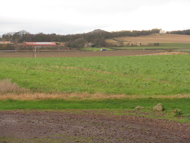
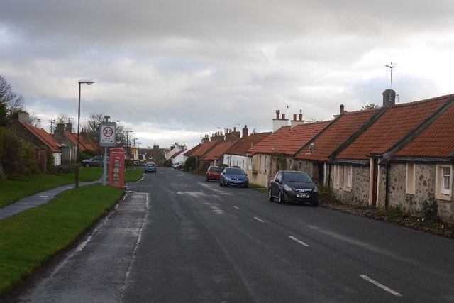
Images are sourced within 2km of 55.993424/-2.7288033 or Grid Reference NT5478. Thanks to Geograph Open Source API. All images are credited.
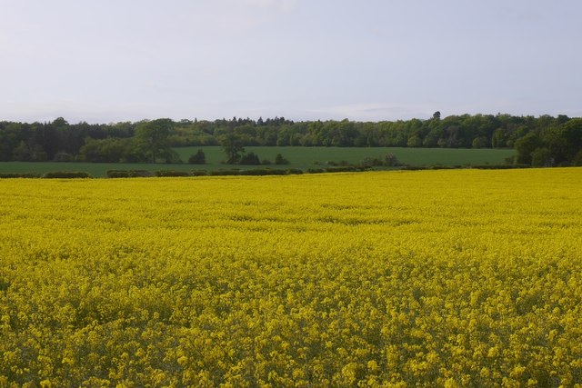
![Country road in November Looking south from Gilmerton. Mostly elms [I think], with an elder in the foreground.](https://s1.geograph.org.uk/geophotos/04/74/48/4744869_a45d8261.jpg)


Acres Plantation is located at Grid Ref: NT5478 (Lat: 55.993424, Lng: -2.7288033)
Unitary Authority: East Lothian
Police Authority: The Lothians and Scottish Borders
What 3 Words
///universal.overhear.seats. Near East Linton, East Lothian
Nearby Locations
Related Wikis

National Museum of Flight
The National Museum of Flight is Scotland's national aviation museum, at East Fortune Airfield, just south of the village of East Fortune, Scotland. It...

RAF East Fortune
Royal Air Force East Fortune, or more simply RAF East Fortune, is a former Royal Air Force station located just south of the village of East Fortune. It...

Athelstaneford
Athelstaneford () is a village in East Lothian, Scotland. It lies almost 6 kilometres (3.5 mi) north-east of the market town of Haddington and about 28...

East Fortune
East Fortune is a village in East Lothian, Scotland, located 2 miles (3 km) north west of East Linton. The area is known for its airfield which was constructed...
Related Videos

Reach for the Skies with Richard Murphy
An alternative tale to the one about Sir Douglas Bader! An Applecatcher Film An afternoon of flying around East Lothian with ...

😨So many airplanes!!!!😨which place is this?
The "National Museum of Flight" is a museum dedicated to aviation and flight history, primarily located in Scotland, United ...

A visit to Athelstaneford
20 miles east of Edinburgh is the village of Athelstanford where the legend of Scotland's national flag was born.

Nearby Amenities
Located within 500m of 55.993424,-2.7288033Have you been to Acres Plantation?
Leave your review of Acres Plantation below (or comments, questions and feedback).