Ascurry Wood
Wood, Forest in Angus
Scotland
Ascurry Wood
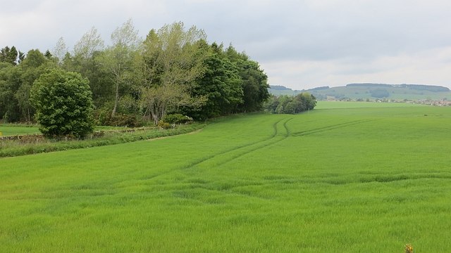
Ascurry Wood is a picturesque forest located in the county of Angus, Scotland. Spread across an area of approximately 100 acres, this tranquil woodland is renowned for its natural beauty and diverse ecosystem. Situated near the village of Edzell, it offers visitors a serene escape into nature.
The forest is predominantly composed of native deciduous trees, such as oak, birch, and rowan, which provide a delightful canopy of foliage during the summer months. The forest floor is adorned with a rich variety of wildflowers, creating a vibrant and colorful landscape.
Ascurry Wood is home to a wide range of wildlife, including red deer, foxes, badgers, and a plethora of bird species. Birdwatchers can spot woodpeckers, owls, and various songbirds amidst the trees. The forest is also known for its population of red squirrels, which can be seen darting among the branches.
The wood provides several walking trails that wind through its enchanting pathways, offering visitors the opportunity to explore its natural wonders. The trails cater to different levels of fitness, with options for leisurely strolls or more challenging hikes. Along the way, hikers may come across a charming stream that meanders through the forest, adding to the tranquility of the surroundings.
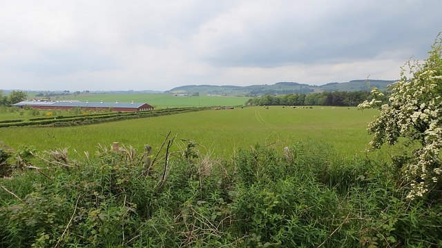
Ascurry Wood is a popular destination for nature lovers, photographers, and those seeking a peaceful retreat. Its stunning scenery and abundant wildlife make it a haven for outdoor enthusiasts and a must-visit location for anyone exploring the beautiful Angus countryside.
If you have any feedback on the listing, please let us know in the comments section below.
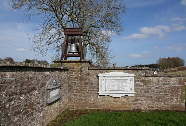
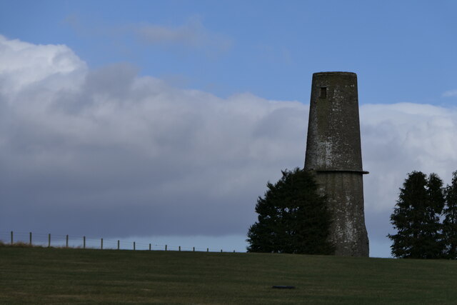
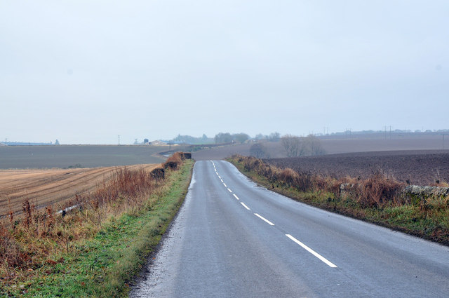
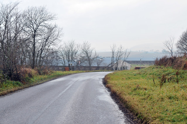
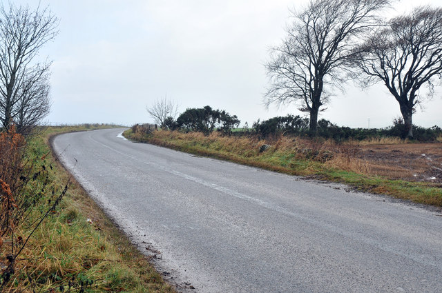
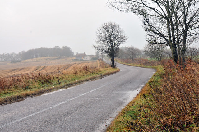
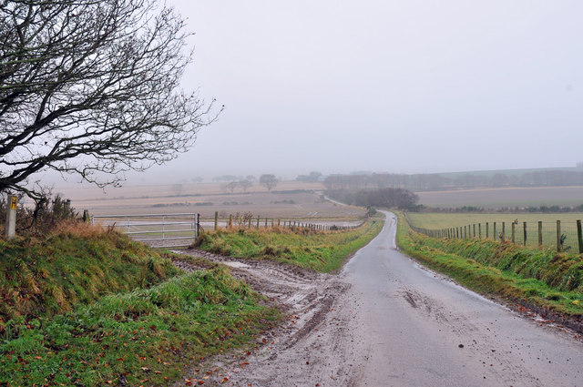
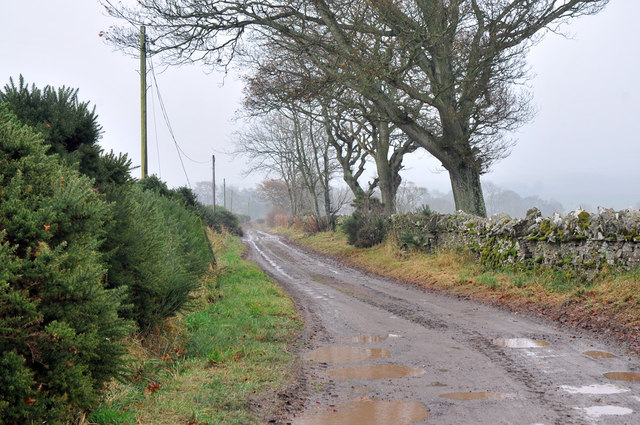
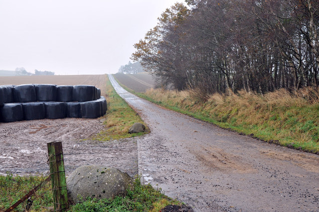
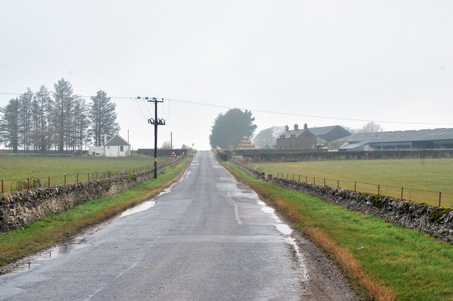
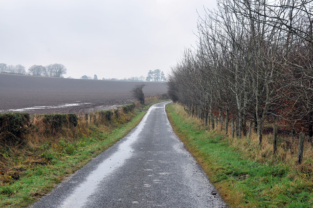
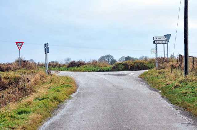
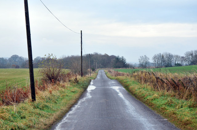
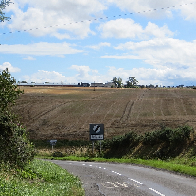
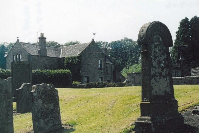
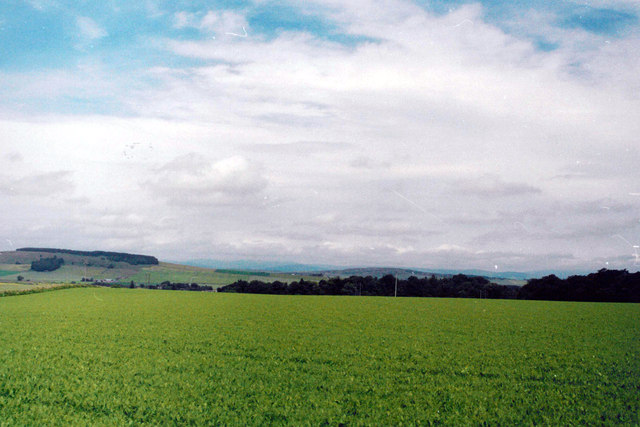
Ascurry Wood Images
Images are sourced within 2km of 56.610277/-2.7523752 or Grid Reference NO5346. Thanks to Geograph Open Source API. All images are credited.
Ascurry Wood is located at Grid Ref: NO5346 (Lat: 56.610277, Lng: -2.7523752)
Unitary Authority: Angus
Police Authority: Tayside
What 3 Words
///sleepers.liberty.duck. Near Letham, Angus
Nearby Locations
Related Wikis

Letham, Angus
Letham (Scots pronunciation: [ˈlɛθəm]) is a village in Angus, Scotland. Letham is the largest village in Angus, with a population of nearly 2,000. Situated...

Bowriefauld
Bowriefauld is a village in Angus, Scotland.
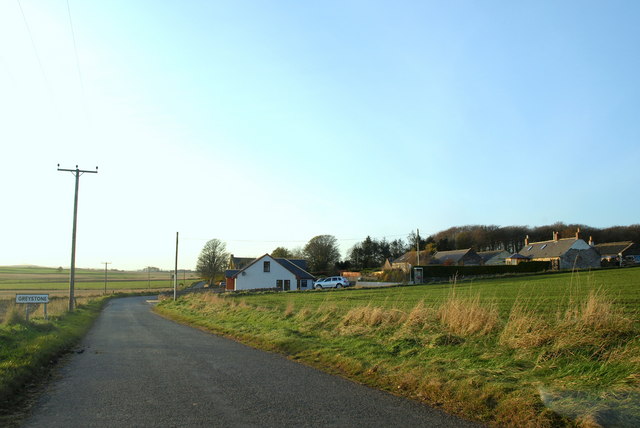
Greystone, Angus
Greystone is a hamlet in Angus, Scotland. It lies between the towns of Carnoustie and Forfar in the parish of Carmyllie. == References ==

Redford, Angus
Redford is a hamlet in the parish of Carmyllie in Angus, Scotland. It is situated on high ground between Arbroath, on the coast, and the inland county...

Carmyllie railway station
Carmyllie railway station served the town of Carmyllie, Angus, Scotland from 1900 to 1965 on the Carmyllie Railway. == History == The station opened on...
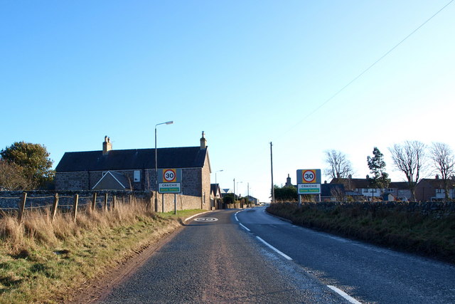
Craichie
Craichie (Scots pronunciation: [ˈkrexe]) is a hamlet in the parish of Dunnichen, Angus, Scotland. Craichie is three miles south-east of Forfar and two...

Dunnichen
Dunnichen (Scots pronunciation: [dəˈnɪxən]; Scottish Gaelic: Dùn Eachain) is a small village in Angus, Scotland, situated between Letham and Forfar. It...

Gardyne Castle
Gardyne Castle is a 16th-century tower house in Angus, Scotland. It is located 2 kilometres (1.2 mi) south-west of Friockheim. The castle is still in use...
Nearby Amenities
Located within 500m of 56.610277,-2.7523752Have you been to Ascurry Wood?
Leave your review of Ascurry Wood below (or comments, questions and feedback).