Dalgowrie Brae

Wood, Forest in East Lothian

Scotland

Dalgowrie Brae

Track to Inglisfield Through Broadwoodside.
Track to Inglisfield Credit: Richard Webb

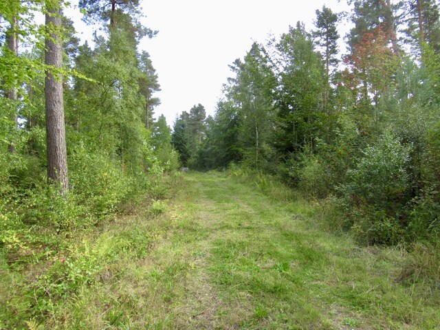
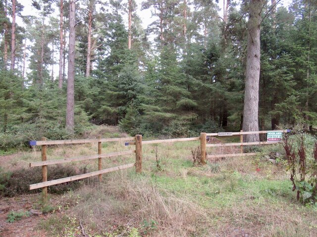
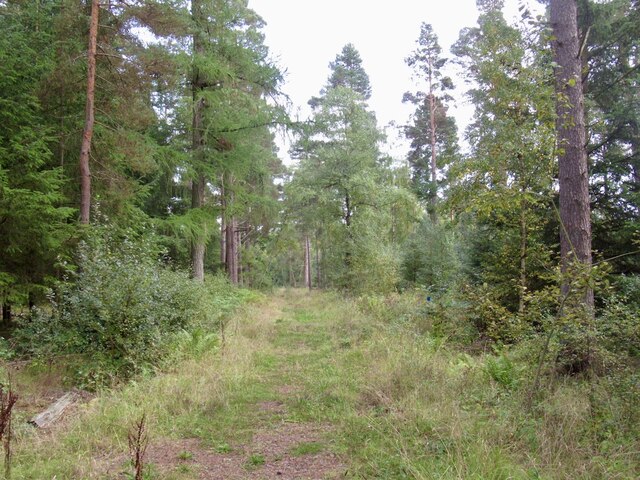
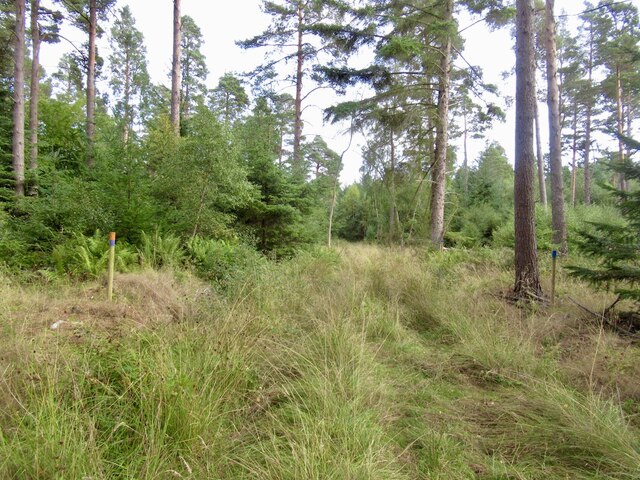
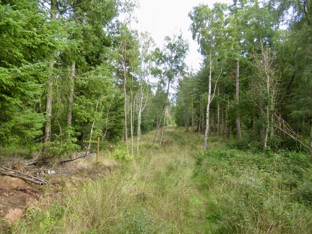
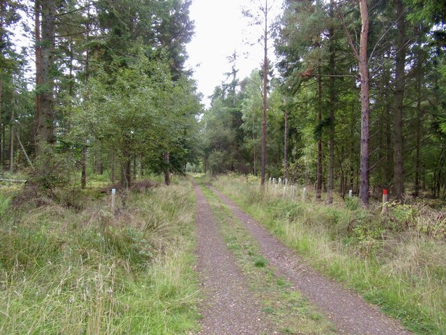
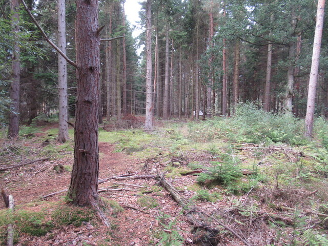
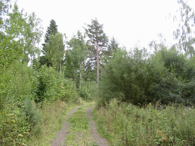
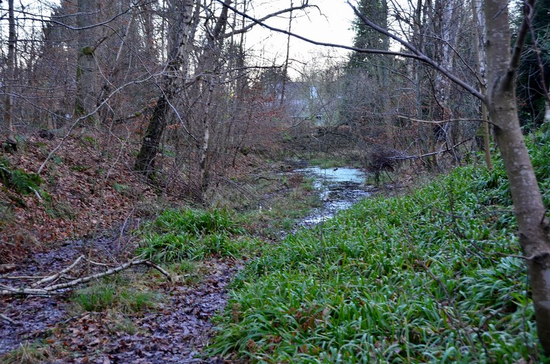
Dalgowrie Brae is a picturesque woodland area located in East Lothian, Scotland. Situated in the heart of the countryside, it offers a serene and tranquil environment for nature enthusiasts and outdoor lovers alike. With an area spanning approximately 200 acres, Dalgowrie Brae is known for its dense forests, lush greenery, and diverse wildlife.

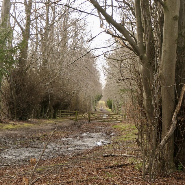
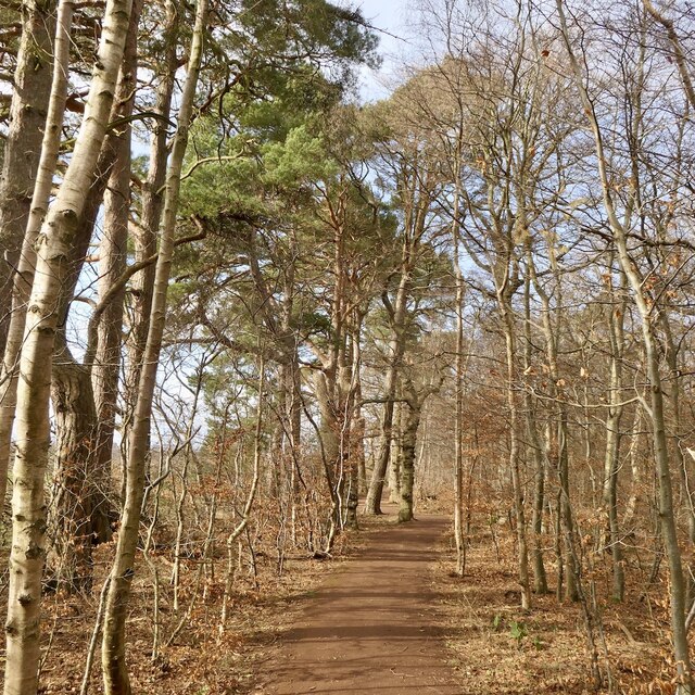
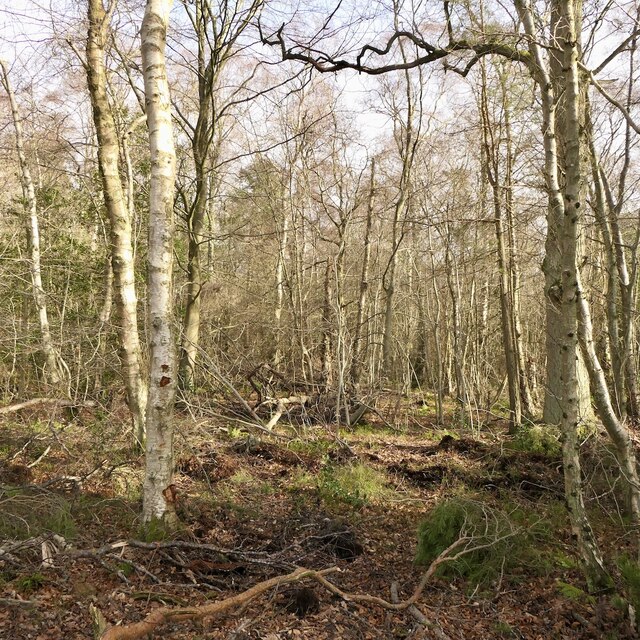
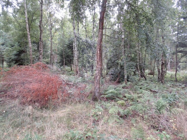
The woodland comprises a mixture of native tree species, including oak, beech, and birch, which contribute to its rich biodiversity. The tall, majestic trees create a canopy that provides shade and shelter, making it a popular destination for walkers and hikers seeking respite from the sun.

Dalgowrie Brae is home to various wildlife species, including deer, foxes, badgers, and a wide range of bird species. Birdwatchers will find plenty to marvel at, with opportunities to spot woodland birds such as woodpeckers, owls, and thrushes. The area is also known for its vibrant wildflowers, which carpet the forest floor during spring and summer months, adding to its natural beauty.

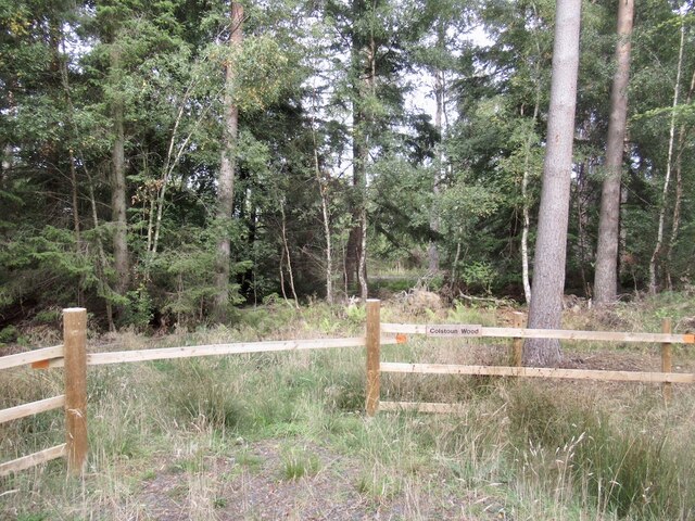
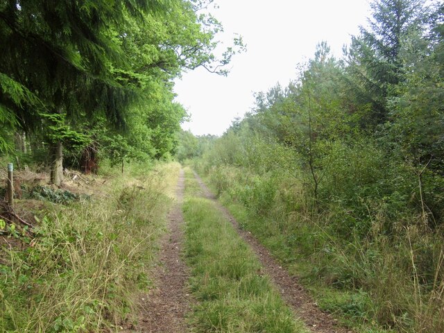
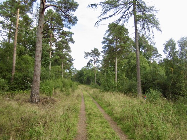
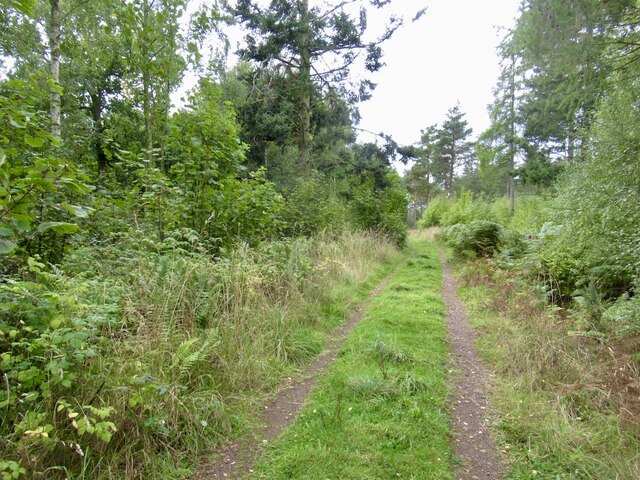
There are several walking trails and paths that wind their way through Dalgowrie Brae, offering visitors the chance to explore the woodland at their own pace. These trails provide stunning views of the surrounding landscape, including rolling hills and farmland that stretch as far as the eye can see.

Dalgowrie Brae is a true haven for nature lovers, providing a peaceful retreat from the hustle and bustle of everyday life. Its idyllic setting, diverse flora and fauna, and well-maintained trails make it a must-visit destination for those seeking a connection with nature in East Lothian.

If you have any feedback on the listing, please let us know in the comments section below.

Dalgowrie Brae Images

Images are sourced within 2km of 55.917442/-2.7808001 or Grid Reference NT5169. Thanks to Geograph Open Source API. All images are credited.

Track to Inglisfield Through Broadwoodside.
Track to Inglisfield
Through Broadwoodside.
All ability path, Fawn Wood Newly upgraded path in the Gifford Community Woodlands.
All ability path, Fawn Wood
Newly upgraded path in the Gifford Community Woodlands.
Fawn Wood Gifford Community Woodlands.
Fawn Wood
Gifford Community Woodlands.
Abandoned machinery, Fawn Wood, Gifford There was a building mapped near here during the 20th century, in the brief period that there was a railway station nearby. My guess is that there was a sawmill here.
Abandoned machinery, Fawn Wood, Gifford
There was a building mapped near here during the 20th century, in the brief period that there was a railway station nearby. My guess is that there was a sawmill here.
Bolton Muir Wood
Bolton Muir Wood
Bolton Muir Wood The wood has been divided up into 18 plots with the intention that it is used for huts. Inevitably the planners have had other ideas and there is little sign of the activity seen in nearby Blinkbonny Wood.  Owners have even been prohibited from camping in their wood.
Bolton Muir Wood
The wood has been divided up into 18 plots with the intention that it is used for huts. Inevitably the planners have had other ideas and there is little sign of the activity seen in nearby Blinkbonny Wood. Owners have even been prohibited from camping in their wood.
Bolton Muir Wood
Bolton Muir Wood
Ride, Bolton Muir Wood
Bolton Muir Wood
Bolton Muir Wood
Bolton Muir Wood The wood has been divided into 18 plots. Most are just identified by a name and a short bit of fencing. Hutting ambitions appear to have been thwarted by the East Lothian Council planning department.
Bolton Muir Wood
The wood has been divided into 18 plots. Most are just identified by a name and a short bit of fencing. Hutting ambitions appear to have been thwarted by the East Lothian Council planning department.
Bolton Muir Wood
Bolton Muir Wood
Bolton Muir Wood
Bolton Muir Wood
Clearing, Bolton Muir Wood
Road in Bolton Muir Wood
Bolton Muir Wood
Bolton Muir Wood
Bolton Muir Wood
Bolton Muir Wood
Bolton Muir Wood
Bolton Muir Wood
Oilseed rape, Bolton
Show me another place!

Dalgowrie Brae is located at Grid Ref: NT5169 (Lat: 55.917442, Lng: -2.7808001)

Unitary Authority: East Lothian

Police Authority: The Lothians and Scottish Borders

What 3 Words

///rated.digits.joined. Near Haddington, East Lothian

Nearby Locations

Dalgowrie Brae

Related Wikis

Bolton Parish Church, East Lothian

Bolton Parish Church is a church in Bolton, East Lothian, Scotland. It is part of the Church of Scotland and (along with Yester Church Saltoun Parish Church...

Bolton, East Lothian

Bolton is a hamlet and the third smallest parish in East Lothian, Scotland. It lies approximately 2 miles (3.2 km) south of Haddington and 20 miles (32...

East Lothian

East Lothian (; Scots: East Lowden; Scottish Gaelic: Lodainn an Ear) is one of the 32 council areas of Scotland, as well as a historic county, registration...

Gifford railway station

Gifford railway station served the village of Gifford, East Lothian, Scotland, from 1901 to 1933 on the Macmerry Branch. == History == The station was...

Nearby Amenities

Located within 500m of 55.917442,-2.7808001
Power: pole
Lat/Long: 55.9150608/-2.7873708
Power: pole
Lat/Long: 55.9155606/-2.7867353
Power: pole
Lat/Long: 55.9161853/-2.7859873
Power: pole
Lat/Long: 55.9166979/-2.7849475
Power: pole
Lat/Long: 55.9170284/-2.7851975
Power: pole
Lat/Long: 55.9176005/-2.7844412
Power: pole
Lat/Long: 55.9175888/-2.7837535
Power: pole
Lat/Long: 55.917576/-2.7827159
Power: pole
Lat/Long: 55.9178527/-2.7809823
Power: pole
Lat/Long: 55.9181365/-2.7792674
Power: pole
Lat/Long: 55.9182918/-2.7783339
Power: pole
Lat/Long: 55.9183852/-2.7760231
Power: pole
Lat/Long: 55.9179672/-2.775198
Power: pole
Lat/Long: 55.9168789/-2.7751604
Power: pole
Lat/Long: 55.9167166/-2.774079
Power: pole
Lat/Long: 55.9189597/-2.7882991
Power: pole
Lat/Long: 55.9183081/-2.7872448
Power: pole
Lat/Long: 55.9176671/-2.7862196
Power: pole
Lat/Long: 55.9153089/-2.7746166
Power: pole
Lat/Long: 55.9160831/-2.7748771
The data included in this document is from www.openstreetmap.org. The data is made available under ODbL.

Have you been to Dalgowrie Brae?

Leave your review of Dalgowrie Brae below (or comments, questions and feedback).