Serpentine Walk Plantation
Wood, Forest in East Lothian
Scotland
Serpentine Walk Plantation
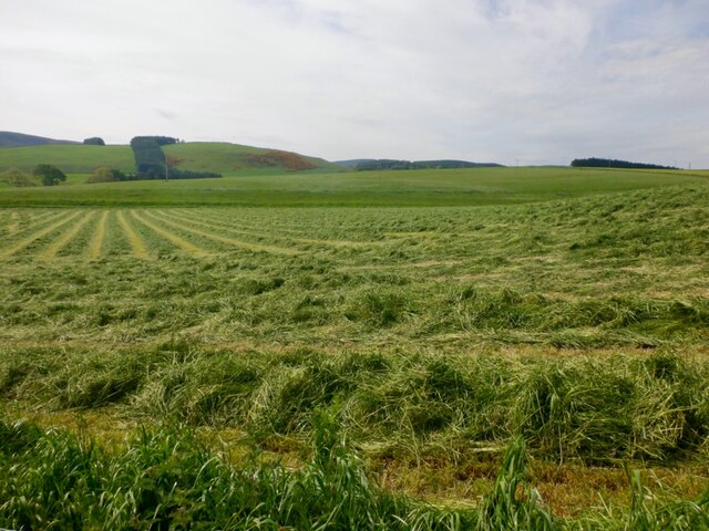
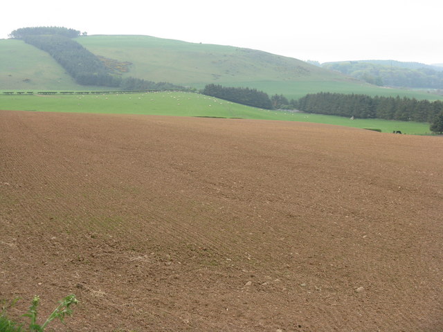
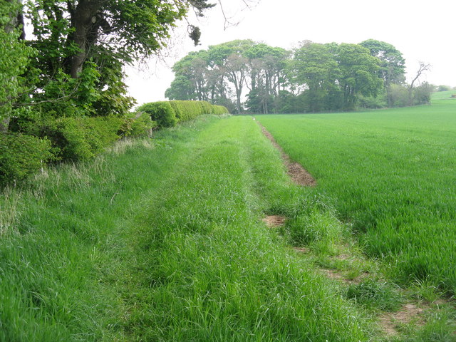
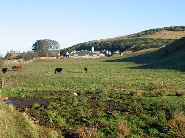
Serpentine Walk Plantation is a picturesque woodland located in East Lothian, Scotland. Stretching over an area of approximately 100 acres, this enchanting forest is renowned for its serene ambiance and breathtaking natural beauty.
The plantation is home to a diverse range of tree species, including towering oak, beech, and silver birch trees, which create a dense canopy, providing shade and shelter to the woodland floor. The forest floor is adorned with an array of vibrant wildflowers, such as bluebells, primroses, and foxgloves, adding a burst of color to the landscape.
Serpentine Walk Plantation is a popular destination for nature enthusiasts and outdoor enthusiasts alike. The well-maintained trails meander through the forest, offering visitors the opportunity to explore and immerse themselves in the tranquil surroundings. The peaceful atmosphere of the woodland makes it an ideal spot for hiking, jogging, or simply enjoying a leisurely stroll.
The plantation is also a haven for wildlife, with numerous bird species, including woodpeckers and thrushes, making their homes among the trees. Squirrels can be spotted scurrying along the branches, while rabbits and deer occasionally make appearances, adding to the charm of the woodland.
Serpentine Walk Plantation is easily accessible, with ample parking facilities and well-marked paths. It offers a peaceful escape from the hustle and bustle of everyday life, providing visitors with the opportunity to reconnect with nature and enjoy the tranquility of this stunning woodland retreat.
If you have any feedback on the listing, please let us know in the comments section below.
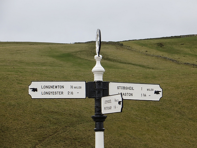
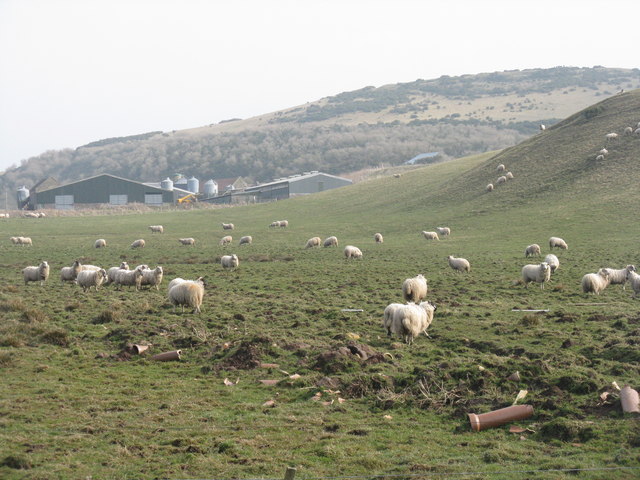
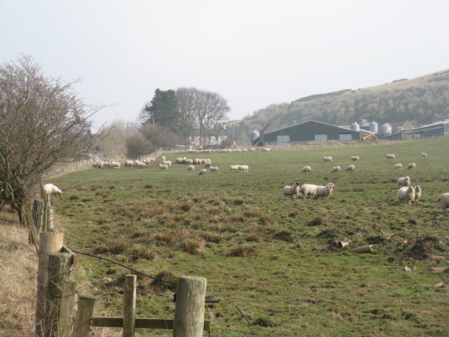
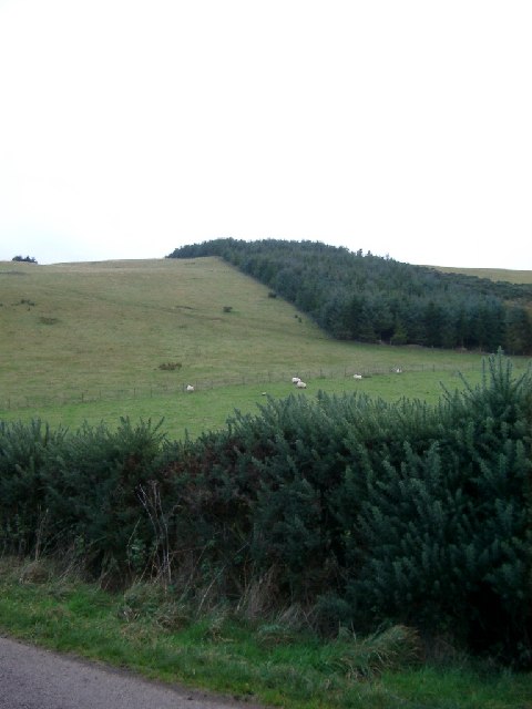
Serpentine Walk Plantation Images
Images are sourced within 2km of 55.859653/-2.8040679 or Grid Reference NT4963. Thanks to Geograph Open Source API. All images are credited.


Serpentine Walk Plantation is located at Grid Ref: NT4963 (Lat: 55.859653, Lng: -2.8040679)
Unitary Authority: East Lothian
Police Authority: The Lothians and Scottish Borders
What 3 Words
///inform.quicksand.making. Near Pencaitland, East Lothian
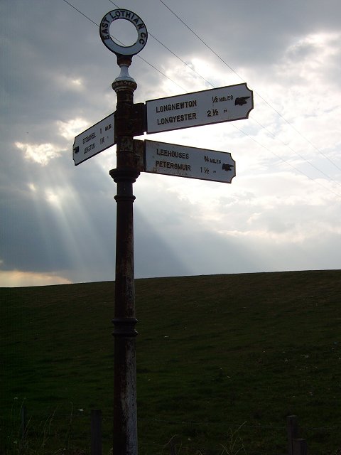
Nearby Locations
Related Wikis

Humbie railway station
Humbie railway station served the civil parish of Humbie, East Lothian, Scotland, from 1901 to 1933 on the Macmerry Branch. == History == The station was...
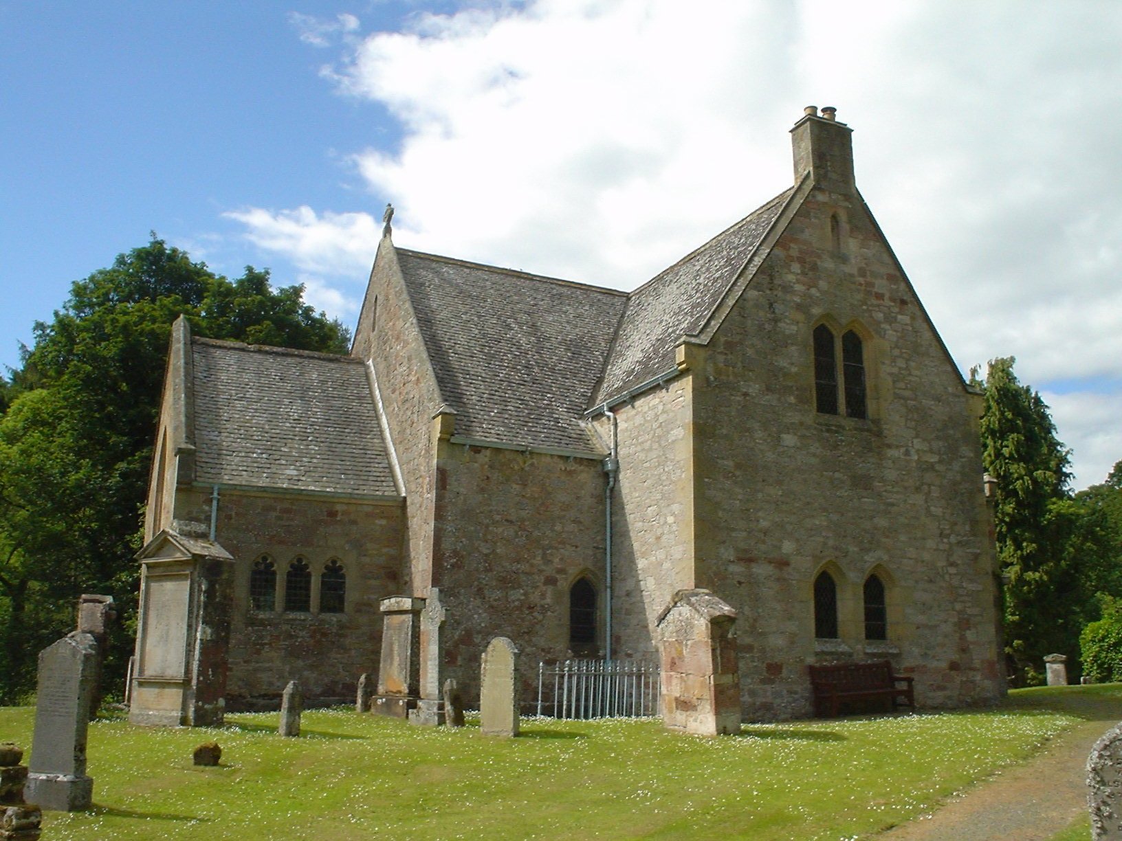
Humbie Parish Church
Humbie Parish Church is a church in the small village of Humbie, East Lothian, Scotland. It is part of the Church of Scotland, and is a linked charge which...

Humbie
Humbie is a hamlet and rural parish in East Lothian, Scotland lying in south-east of the county, approximately 10 miles (16 km) south-west of Haddington...
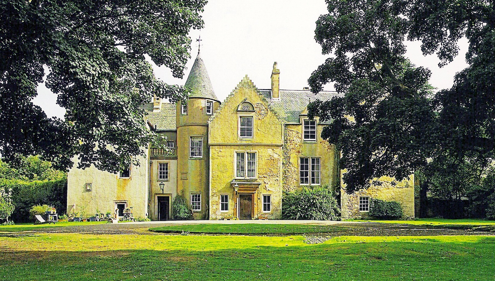
Keith Marischal
Keith Marischal is a Scottish Baronial Country house lying in the parish of Humbie, East Lothian, Scotland. The original building was an "L-shaped" Tower...

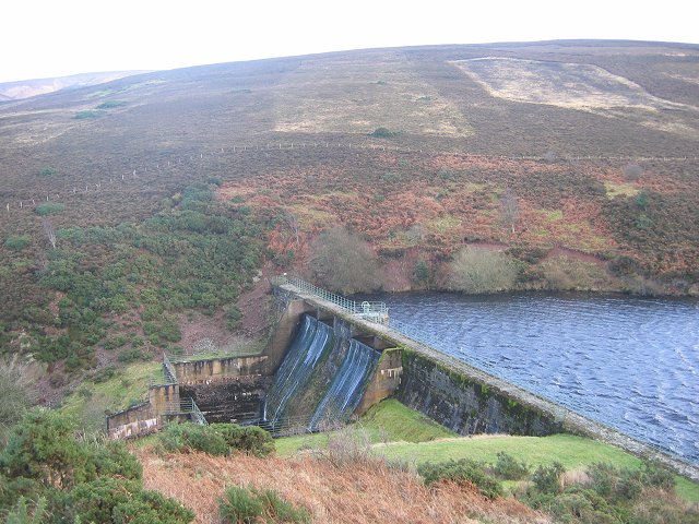
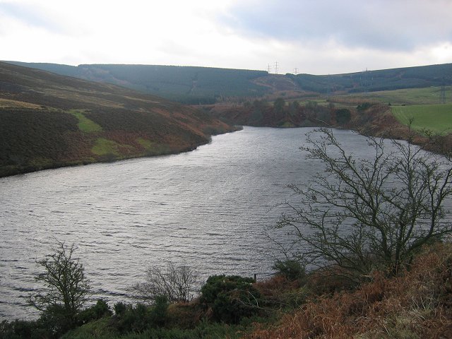
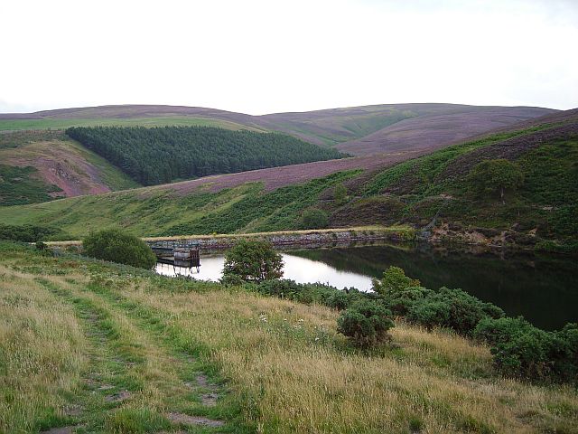
Hopes Reservoir
Hopes Reservoir is a small reservoir in East Lothian, Scotland, in the Lammermuir Hills. It is located in the parish of Yester, 6 km (3.7 mi) south of...
Saltoun Parish Church
Saltoun Parish Church is a church in East Saltoun, East Lothian, Scotland. It is part of the Church of Scotland, and (along with Yester Church and Bolton...

East Saltoun and West Saltoun
East Saltoun and West Saltoun are separate villages in East Lothian, Scotland, about 5 miles (8.0 kilometres) south-west of Haddington and 20 miles (32...

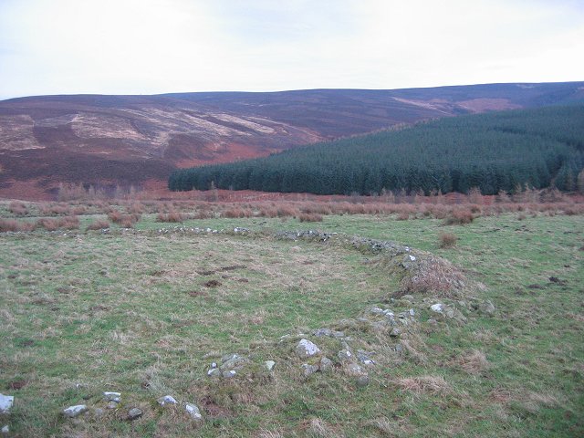
Lammermuir Hills
The Lammermuirs are a range of hills in southern Scotland, forming a natural boundary between East Lothian and the Borders. The name "Lammermuir" comes...
Nearby Amenities
Located within 500m of 55.859653,-2.8040679Have you been to Serpentine Walk Plantation?
Leave your review of Serpentine Walk Plantation below (or comments, questions and feedback).