Howden Wood
Wood, Forest in East Lothian
Scotland
Howden Wood
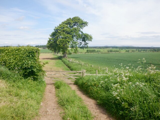
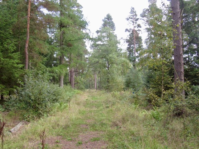
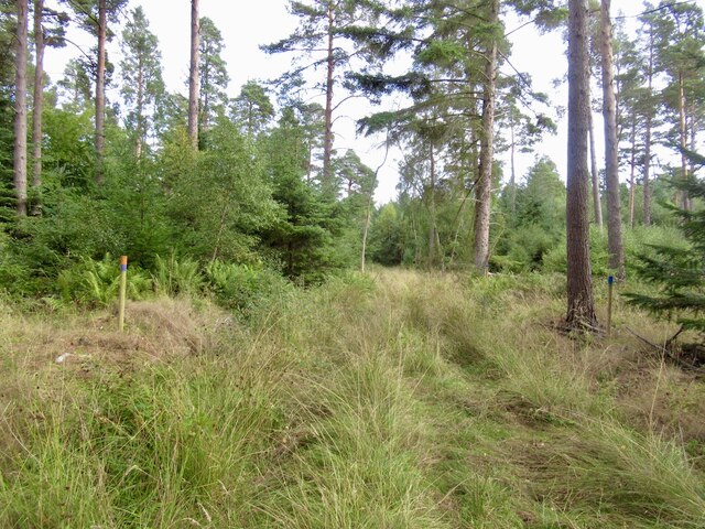
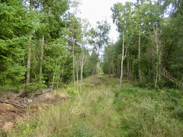
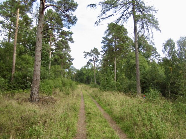
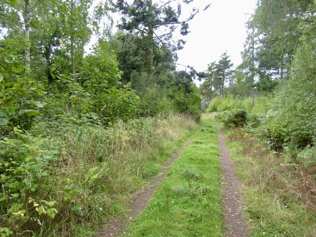
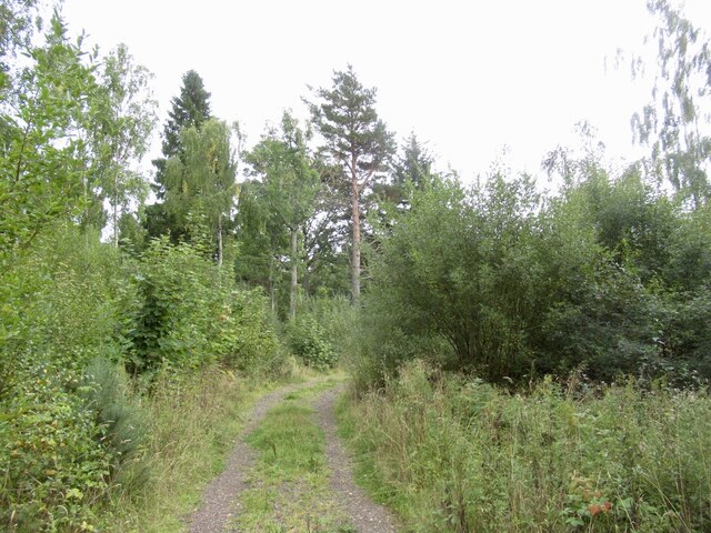
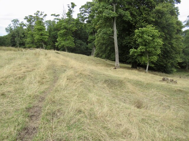
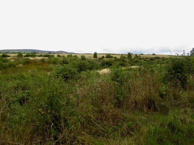
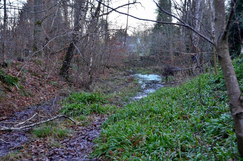
Howden Wood is a picturesque forest located in East Lothian, Scotland. Covering an area of approximately 250 acres, the wood is nestled amidst the rolling countryside, offering visitors a tranquil escape from the hustle and bustle of city life.
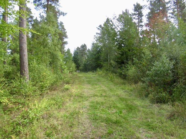
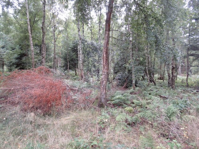
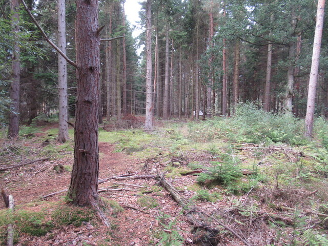
The wood is primarily composed of broadleaved trees, including oak, beech, and birch, which create a rich and diverse ecosystem. The canopy of the trees provides shade during the summer months, making it a pleasant spot for walking, picnicking, and birdwatching.
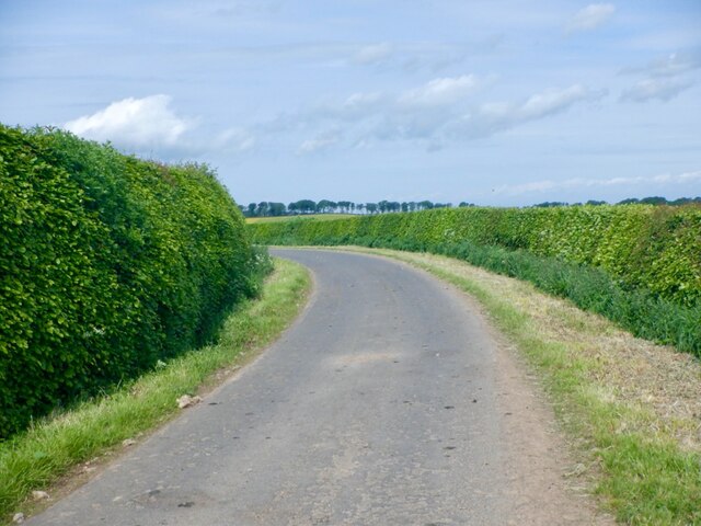
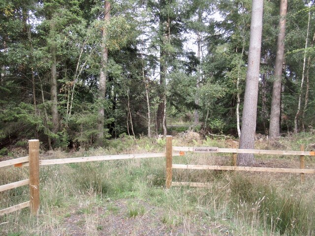
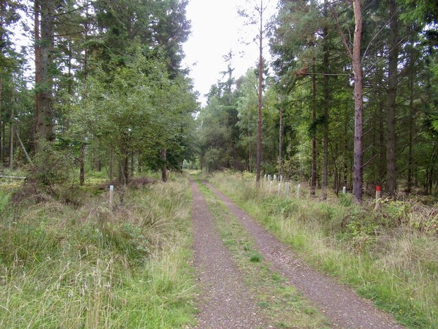
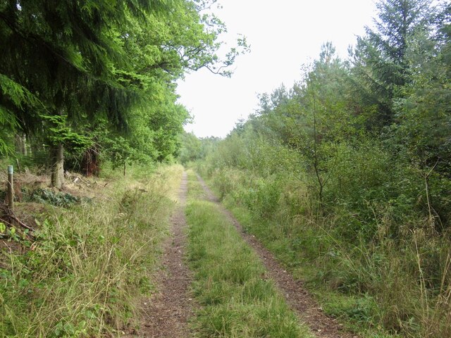
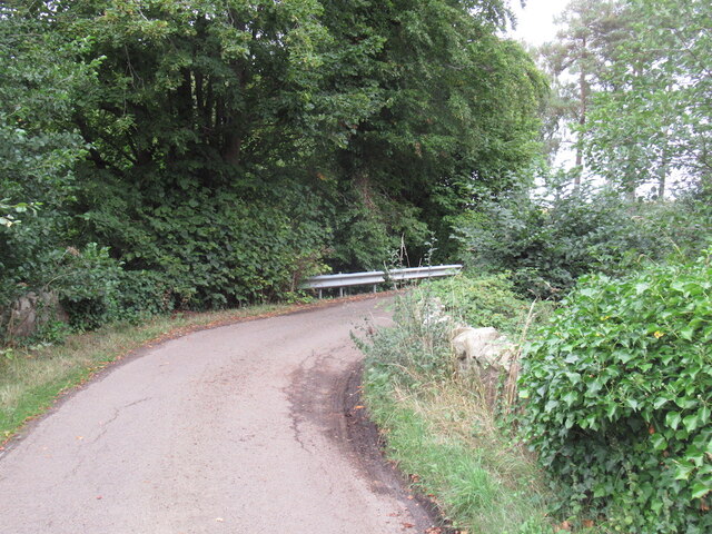
A network of well-maintained paths and trails wind through Howden Wood, allowing visitors to explore its natural beauty and discover hidden gems along the way. The forest floor is adorned with a carpet of wildflowers, ferns, and mosses, creating a vibrant and enchanting atmosphere.
Wildlife thrives in the wood, with numerous species finding refuge in its peaceful surroundings. Red squirrels can be seen scurrying among the branches, while deer occasionally graze in the meadows. Bird enthusiasts will delight in spotting various species, including woodpeckers, buzzards, and owls.
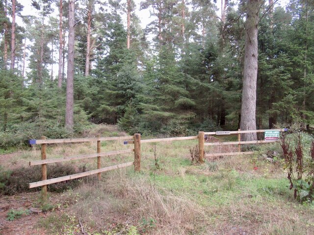
Howden Wood is a popular destination for outdoor enthusiasts, offering opportunities for activities such as hiking, mountain biking, and horseback riding. The forest also has designated areas for camping and picnicking, providing visitors with the chance to fully immerse themselves in nature.
With its idyllic setting and diverse flora and fauna, Howden Wood is a true gem in the heart of East Lothian, attracting nature lovers and adventurers alike.
If you have any feedback on the listing, please let us know in the comments section below.
Howden Wood Images
Images are sourced within 2km of 55.896321/-2.8055779 or Grid Reference NT4967. Thanks to Geograph Open Source API. All images are credited.
Howden Wood is located at Grid Ref: NT4967 (Lat: 55.896321, Lng: -2.8055779)
Unitary Authority: East Lothian
Police Authority: The Lothians and Scottish Borders
What 3 Words
///flamed.nozzle.advantage. Near Pencaitland, East Lothian
Nearby Locations
Related Wikis
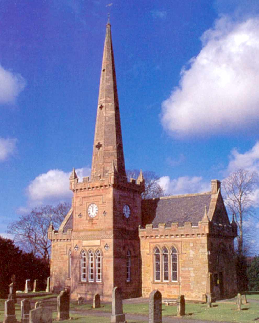
Saltoun Parish Church
Saltoun Parish Church is a church in East Saltoun, East Lothian, Scotland. It is part of the Church of Scotland, and (along with Yester Church and Bolton...

Humbie railway station
Humbie railway station served the civil parish of Humbie, East Lothian, Scotland, from 1901 to 1933 on the Macmerry Branch. == History == The station was...

East Saltoun and West Saltoun
East Saltoun and West Saltoun are separate villages in East Lothian, Scotland, about 5 miles (8.0 kilometres) south-west of Haddington and 20 miles (32...

Bolton, East Lothian
Bolton is a hamlet and the third smallest parish in East Lothian, Scotland. It lies approximately 2 miles (3.2 km) south of Haddington and 20 miles (32...

Bolton Parish Church, East Lothian
Bolton Parish Church is a church in Bolton, East Lothian, Scotland. It is part of the Church of Scotland and (along with Yester Church Saltoun Parish Church...
Gifford railway station
Gifford railway station served the village of Gifford, East Lothian, Scotland, from 1901 to 1933 on the Macmerry Branch. == History == The station was...

Herdmanston House
Herdmanston House was a castle and later tower house located in the parish of Saltoun, East Lothian in Scotland.The lands of Herdmanston were held by the...

Gifford Town Hall
Gifford Town Hall is a municipal building in The Square, Gifford, East Lothian, Scotland. The structure, which is used as a community events venue, is...
Nearby Amenities
Located within 500m of 55.896321,-2.8055779Have you been to Howden Wood?
Leave your review of Howden Wood below (or comments, questions and feedback).