Longpark Plantation

Wood, Forest in Roxburghshire

Scotland

Longpark Plantation

Road under Bow Castle Widened to serve the Longpark wind farm.  View from Bowshank Hill across the Gala Water.
Road under Bow Castle Credit: Richard Webb

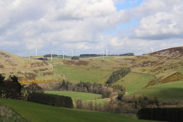
Longpark Plantation is a sprawling woodland located in Roxburghshire, Scotland. Covering an area of approximately 100 acres, it is an enchanting forest that offers a tranquil escape for nature lovers and outdoor enthusiasts alike.

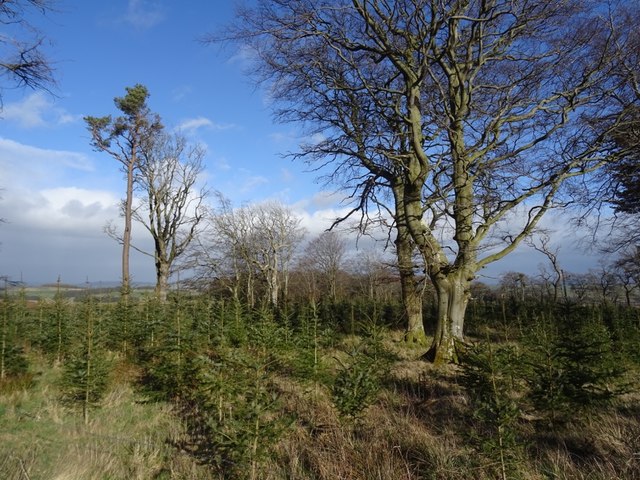
The plantation is predominantly composed of mature broadleaf trees, such as oak, beech, and birch, creating a diverse and visually striking landscape. These trees provide a rich habitat for a variety of wildlife, including birds, small mammals, and insects.

A network of well-maintained trails winds its way through the plantation, allowing visitors to explore the area and immerse themselves in its natural beauty. These paths are suitable for walking, cycling, and horseback riding, catering to a range of outdoor activities.

One of the standout features of Longpark Plantation is its ancient woodland, which is home to a plethora of rare and protected plant species. Nature enthusiasts will delight in discovering these unique flora, which add to the plantation’s ecological significance.

The forest is also an important site for conservation efforts, with ongoing initiatives to ensure the preservation and sustainable management of the woodland. This dedication to conservation enhances the plantation’s value as a haven for biodiversity and contributes to the overall health of the local ecosystem.

Longpark Plantation is a popular destination for both locals and tourists seeking a peaceful retreat in nature. Its stunning scenery, diverse wildlife, and commitment to conservation make it a true gem within Roxburghshire’s natural landscape.

If you have any feedback on the listing, please let us know in the comments section below.

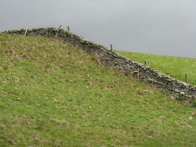
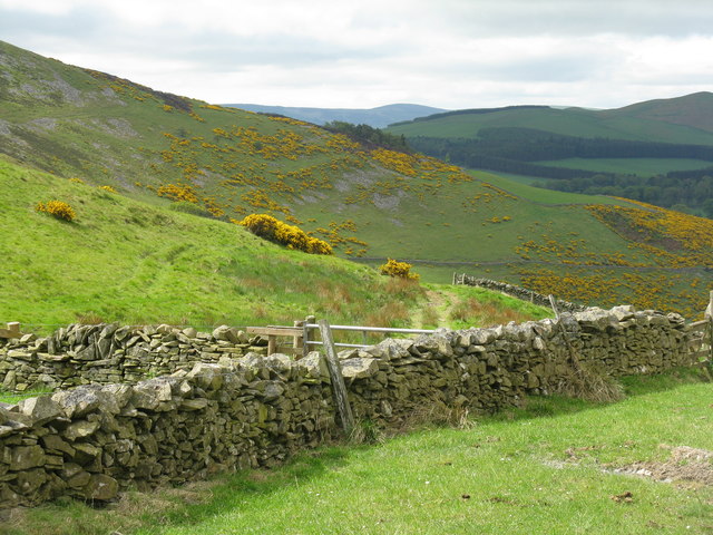
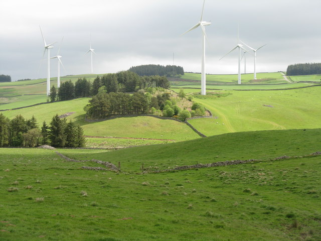
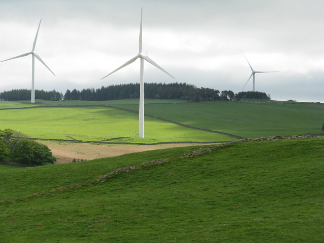
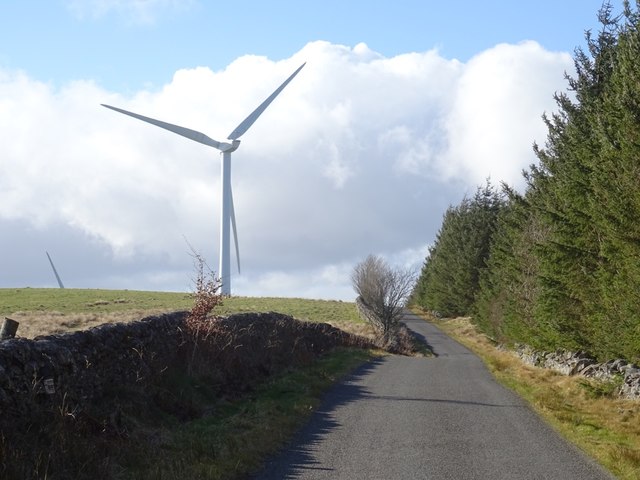
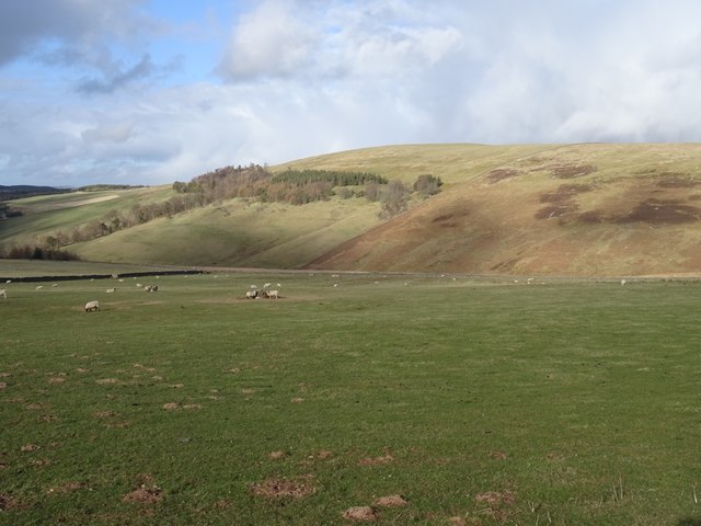
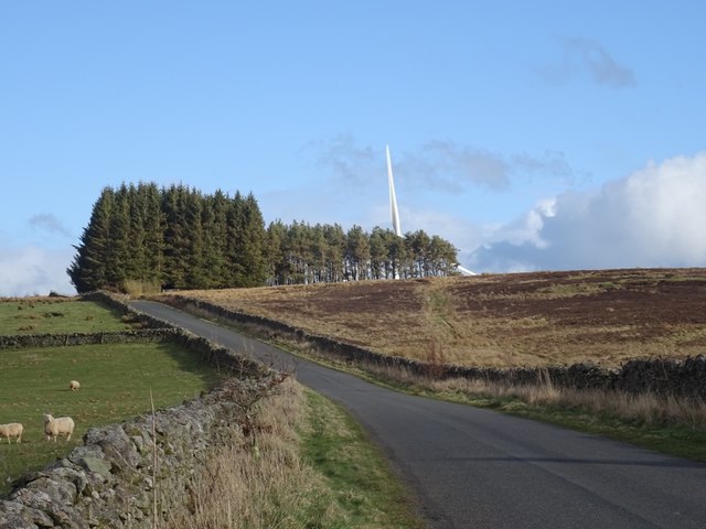
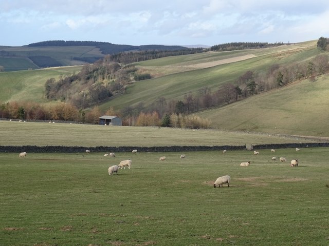
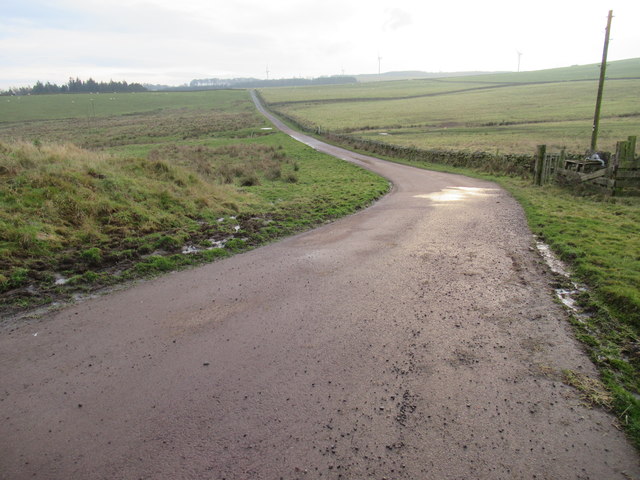
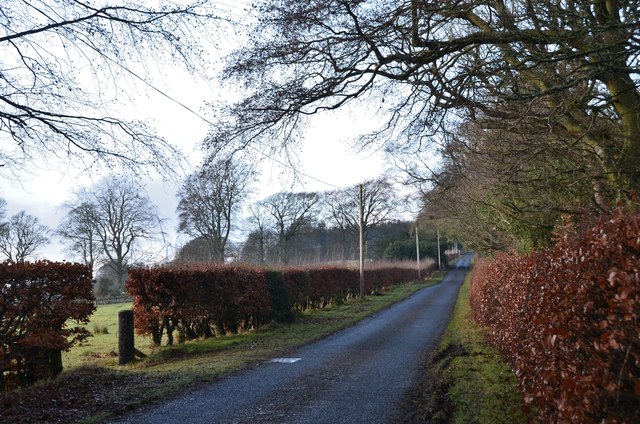
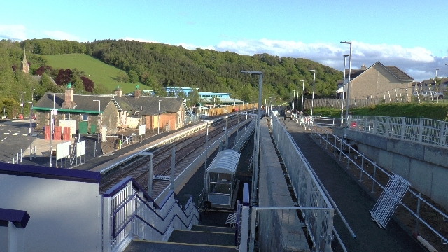
Longpark Plantation Images

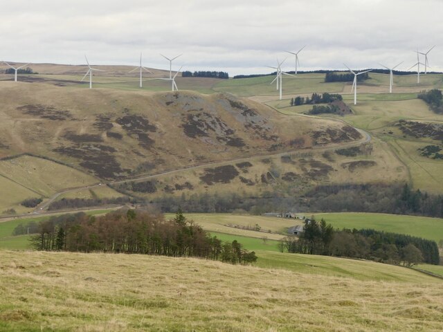
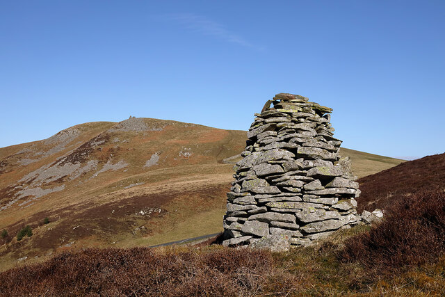
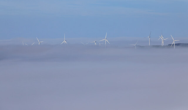
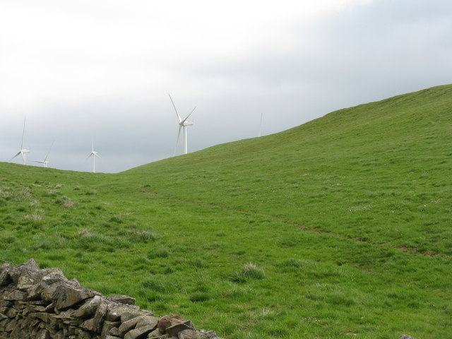
Images are sourced within 2km of 55.669528/-2.8289399 or Grid Reference NT4742. Thanks to Geograph Open Source API. All images are credited.

Road under Bow Castle Widened to serve the Longpark wind farm.  View from Bowshank Hill across the Gala Water.
Road under Bow Castle
Widened to serve the Longpark wind farm. View from Bowshank Hill across the Gala Water.
A cairn on Caitha Hill This is a view towards Bow Hill and Bow Castle Broch.
A cairn on Caitha Hill
This is a view towards Bow Hill and Bow Castle Broch.
Longpark Wind Farm This telephoto shot was taken from the summit of Eildon Mid Hill on a calm November morning when valley fog persisted for most of the day.
Longpark Wind Farm
This telephoto shot was taken from the summit of Eildon Mid Hill on a calm November morning when valley fog persisted for most of the day.
A glimpse of Long Park Wind Farm Looking east from the service road to the farm.
A glimpse of Long Park Wind Farm
Looking east from the service road to the farm.
Drystone wall against a dark sky Near Bow Castle, on the south side of Bow Hill, from the track to the Long Park Wind Farm.
Drystone wall against a dark sky
Near Bow Castle, on the south side of Bow Hill, from the track to the Long Park Wind Farm.
Looking across the northwestern flank of Caitha Hill The plantations in the distance are mainly in <a href="https://www.geograph.org.uk/gridref/NT4439">NT4439</a>, about 3km away across the valley of the Gala Water.
Looking across the northwestern flank of Caitha Hill
The plantations in the distance are mainly in NT4439, about 3km away across the valley of the Gala Water.
Long Park Wind Farm Seven of the nineteen 80m diam. 2MW turbines that make up the wind farm <a href="https://www.geograph.org.uk/photo/5402393">NT4641 : A glimpse of Long Park Wind Farm</a>.
Long Park Wind Farm
Seven of the nineteen 80m diam. 2MW turbines that make up the wind farm NT4641 : A glimpse of Long Park Wind Farm.
Three Long Park Wind Farm Turbines Each 80m diam. and producing 2MW <a href="https://www.geograph.org.uk/photo/5402393">NT4641 : A glimpse of Long Park Wind Farm</a>.
Three Long Park Wind Farm Turbines
Each 80m diam. and producing 2MW NT4641 : A glimpse of Long Park Wind Farm.
Longpark Wind Farm Photographed from the Clovenfords to Fountainhall road
Longpark Wind Farm
Photographed from the Clovenfords to Fountainhall road
Hareshawhead Plantation This bit of the wood  <a href="https://www.geograph.org.uk/photo/4202787">NT4842 : Clear felled area,  Hareshawhead Plantation</a> nearly five years on. A new crop of trees is getting established.
Hareshawhead Plantation
This bit of the wood NT4842 : Clear felled area, Hareshawhead Plantation nearly five years on. A new crop of trees is getting established.
Longpark Wind Farm On the ridge southeast of Stow.
Longpark Wind Farm
On the ridge southeast of Stow.
Turbine, Longpark Wind Farm With Meigle Hill in the background.
Turbine, Longpark Wind Farm
With Meigle Hill in the background.
Stow to Wooplaw road Passing the Longpark Wind Farm and Hareshawhead Plantation.
Stow to Wooplaw road
Passing the Longpark Wind Farm and Hareshawhead Plantation.
View of Sell Muir Sellmoor Hill is still without turbines, years after a planned development here.
View of Sell Muir
Sellmoor Hill is still without turbines, years after a planned development here.
Stow to Wooplaw Road Parkwood wind farm ahead.
Stow to Wooplaw Road
Parkwood wind farm ahead.
Muirhouse Burn, Stow Sheep graze above Stow.
Muirhouse Burn, Stow
Sheep graze above Stow.
Road from Allanshaws near Lauder in the Scottish Borders
Road to Stow, Wooplaw The minor road through farmland bordering Longpark windfarm.
Road to Stow, Wooplaw
The minor road through farmland bordering Longpark windfarm.
Show me another place!

Longpark Plantation is located at Grid Ref: NT4742 (Lat: 55.669528, Lng: -2.8289399)

Unitary Authority: The Scottish Borders

Police Authority: The Lothians and Scottish Borders

What 3 Words

///fixed.skirting.slippery. Near Galashiels, Scottish Borders

Nearby Locations

Longpark Plantation

Related Wikis

Nearby Amenities

Located within 500m of 55.669528,-2.8289399
Ele: 372
Natural: peak
Lat/Long: 55.6735468/-2.8266972
Generator Method: wind_turbine
Generator Output Electricity: 2 MW
Generator Source: wind
Generator Type: horizontal_axis
Height: 59
Manufacturer: Senvion
Operator: EDF Energy Renewables
Power: generator
Ref: T11
Rotor Diameter: 82
Start Date: 2009-11
Lat/Long: 55.6681277/-2.825772
Generator Method: wind_turbine
Generator Output Electricity: 2 MW
Generator Source: wind
Generator Type: horizontal_axis
Height: 59
Manufacturer: Senvion
Operator: EDF Energy Renewables
Power: generator
Ref: T8
Rotor Diameter: 82
Start Date: 2009-11
Lat/Long: 55.6705782/-2.8300528
Generator Method: wind_turbine
Generator Output Electricity: 2 MW
Generator Source: wind
Generator Type: horizontal_axis
Height: 59
Manufacturer: Senvion
Operator: EDF Energy Renewables
Power: generator
Ref: T7
Rotor Diameter: 82
Start Date: 2009-11
Lat/Long: 55.669477/-2.8362863
Generator Method: wind_turbine
Generator Output Electricity: 2 MW
Generator Source: wind
Generator Type: horizontal_axis
Height: 69
Manufacturer: Senvion
Operator: EDF Energy Renewables
Power: generator
Ref: T9
Rotor Diameter: 82
Start Date: 2009-11
Lat/Long: 55.6720424/-2.8242271
Generator Method: wind_turbine
Generator Output Electricity: 2 MW
Generator Source: wind
Generator Type: horizontal_axis
Height: 59
Manufacturer: Senvion
Operator: EDF Energy Renewables
Power: generator
Ref: T10
Rotor Diameter: 82
Start Date: 2009-11
Lat/Long: 55.6669964/-2.8318553
The data included in this document is from www.openstreetmap.org. The data is made available under ODbL.

Have you been to Longpark Plantation?

Leave your review of Longpark Plantation below (or comments, questions and feedback).