Aultmore Forest

Wood, Forest in Banffshire

Scotland

Aultmore Forest

Road Junction The road to the right isn't on the older maps, but it now links this part of Aultmore forest on the slope of Black Hill to Addie Hill and Stony Slacks. The fanit hill on the horizon is Ben Rinnes.
Road Junction Credit: Anne Burgess

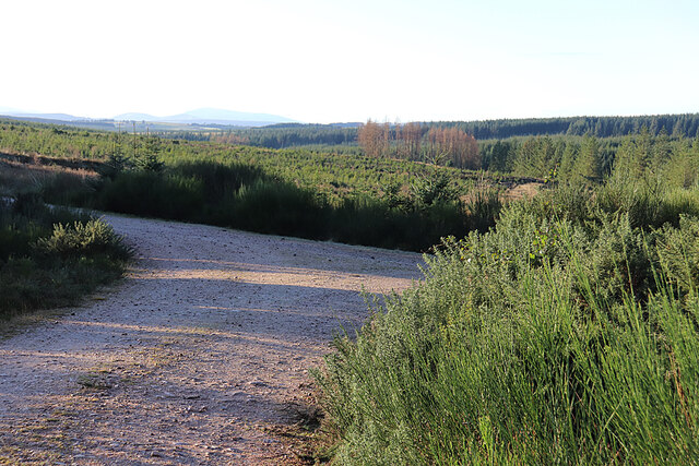
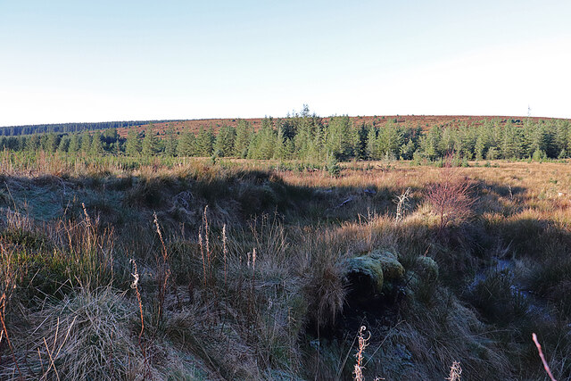
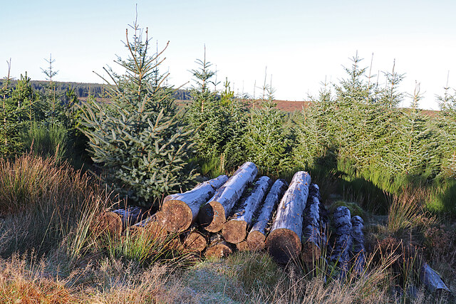
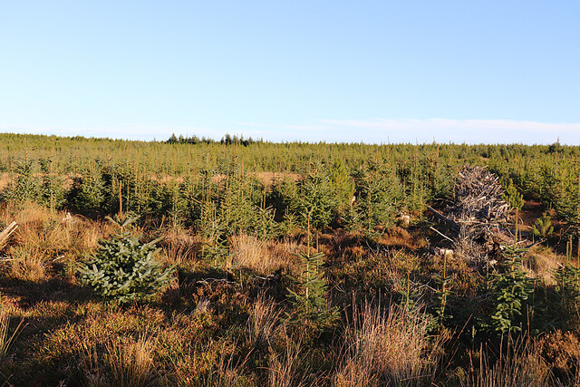
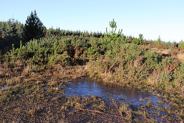
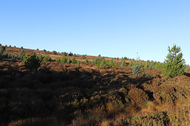
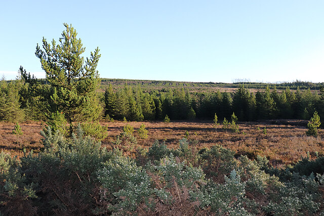
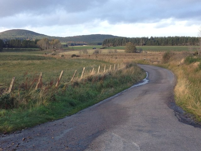
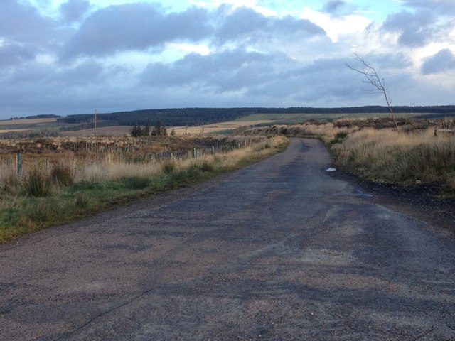
Aultmore Forest, located in Banffshire, Scotland, is a captivating woodland area renowned for its natural beauty and rich biodiversity. Spanning over a vast expanse of approximately 10,000 acres, this enchanting forest is a haven for nature enthusiasts and outdoor adventurers.

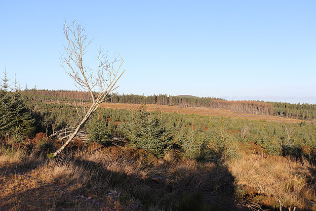
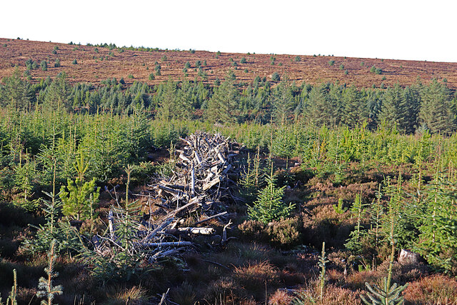
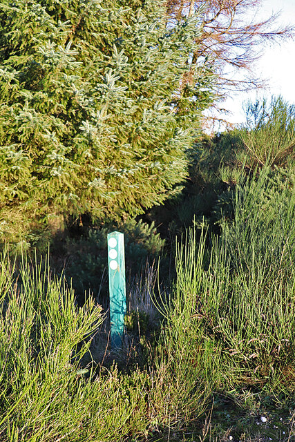
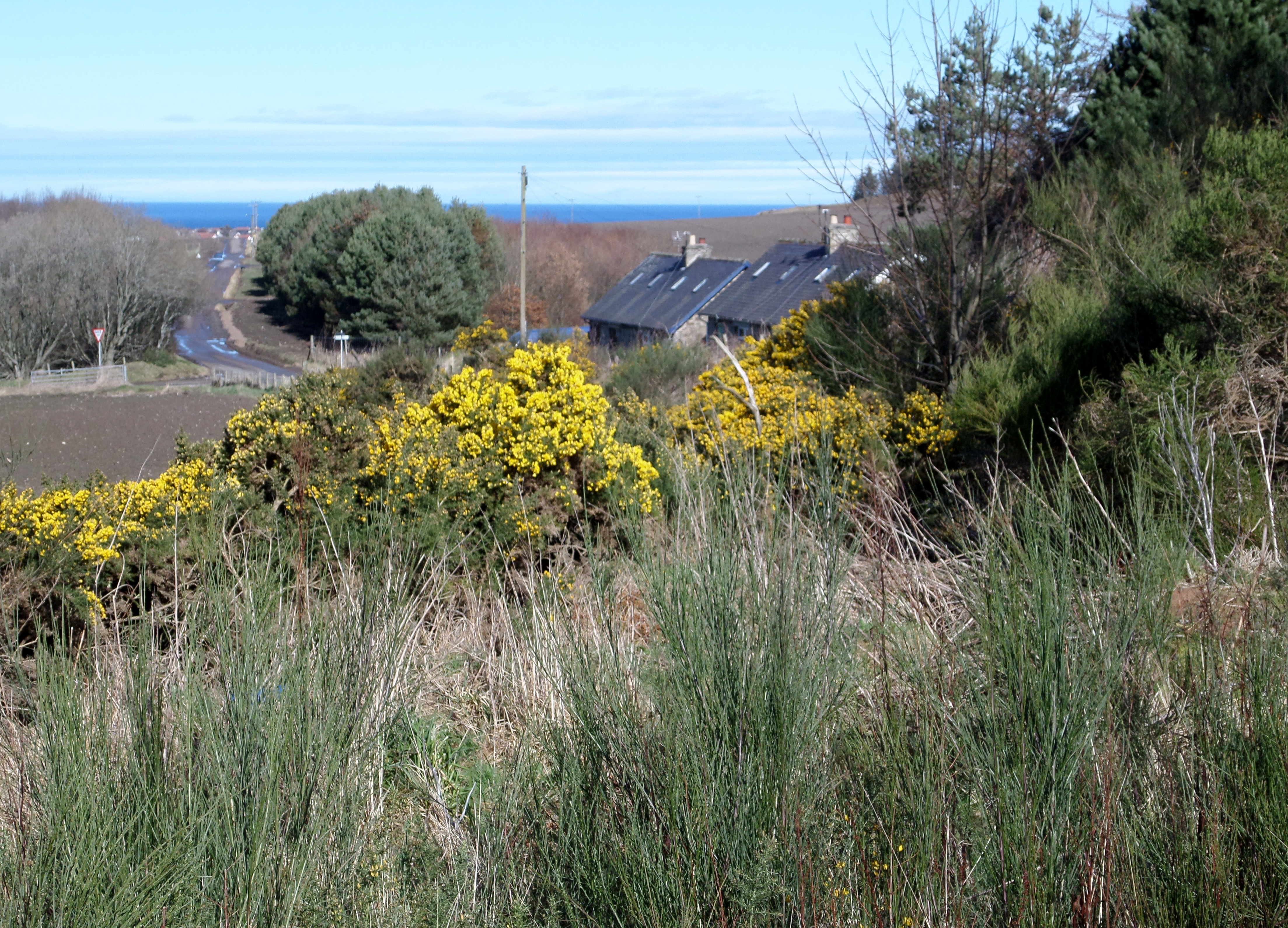
The forest is predominantly composed of native Scottish trees, including Scots pine, birch, and oak, which create a diverse and vibrant ecosystem. These towering trees form a dense canopy, providing shelter for various species of birds, mammals, and insects. The forest floor is adorned with a lush carpet of mosses, ferns, and wildflowers, adding to the picturesque scenery.

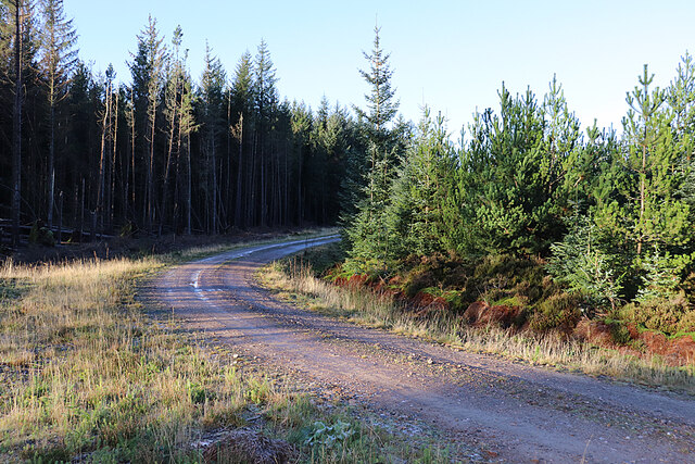
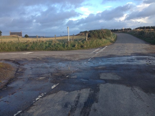
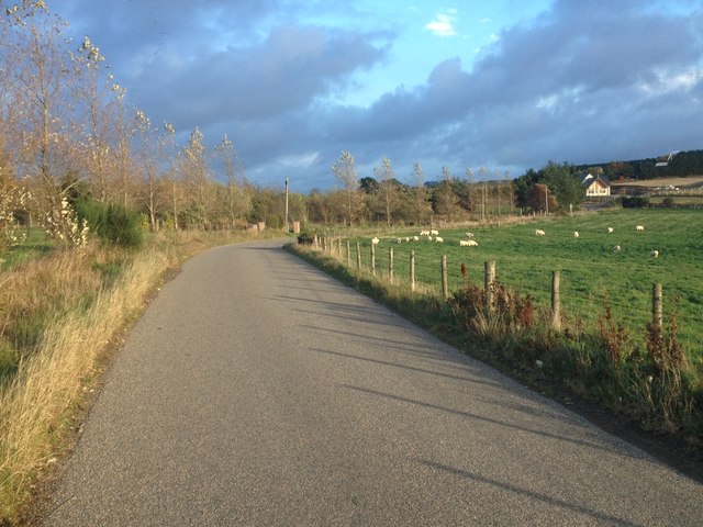
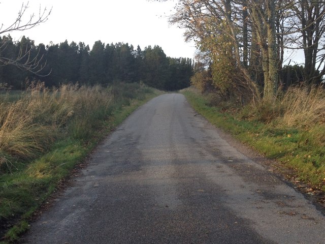
Traversing through Aultmore Forest, visitors can enjoy a network of well-maintained trails that wind their way through the woodland. These paths cater to hikers of all abilities, offering options for leisurely strolls or more challenging hikes. Along the way, one can encounter breathtaking vistas, babbling streams, and hidden glens, providing ample opportunities for solitude and reflection.

Aultmore Forest is home to a diverse range of wildlife, including roe deer, red squirrels, and a variety of bird species such as woodpeckers and owls. Nature enthusiasts can also spot elusive creatures like pine martens and Scottish wildcats if they are lucky. The forest management team actively works to protect and preserve the natural habitat, ensuring the continued flourishing of these unique species.

Whether one seeks tranquility, adventure, or a chance to reconnect with nature, Aultmore Forest offers an idyllic setting for all. Its serene beauty, diverse flora and fauna, and well-maintained trails make it a must-visit destination for nature lovers and explorers alike.

If you have any feedback on the listing, please let us know in the comments section below.

Aultmore Forest Images

Images are sourced within 2km of 57.630691/-2.8839343 or Grid Reference NJ4760. Thanks to Geograph Open Source API. All images are credited.

Road Junction The road to the right isn't on the older maps, but it now links this part of Aultmore forest on the slope of Black Hill to Addie Hill and Stony Slacks. The fanit hill on the horizon is Ben Rinnes.
Road Junction
The road to the right isn't on the older maps, but it now links this part of Aultmore forest on the slope of Black Hill to Addie Hill and Stony Slacks. The fanit hill on the horizon is Ben Rinnes.
Hidden Burn There is a very minor burn lurking in the vegetation here, and shown on the map. In the background is the gentle eminence of Black Hill.
Hidden Burn
There is a very minor burn lurking in the vegetation here, and shown on the map. In the background is the gentle eminence of Black Hill.
Bags of Trees There must be plans for tree planting very soon, because these bags apparently contain tree seedlings.
Bags of Trees
There must be plans for tree planting very soon, because these bags apparently contain tree seedlings.
Old Fir Hill This part of the forest has been felled and looks a bit chaotic.
Old Fir Hill
This part of the forest has been felled and looks a bit chaotic.
Forgotten Logs It's a frosty morning, and hoar frost glistens on the shaded sides of these logs, felled but never collected to be taken to the sawmill.
Forgotten Logs
It's a frosty morning, and hoar frost glistens on the shaded sides of these logs, felled but never collected to be taken to the sawmill.
Forest Road The forest road round Old Fir Hill is slippery with frost the shade of the trees.
Forest Road
The forest road round Old Fir Hill is slippery with frost the shade of the trees.
Aultmorehill Wood The forest looks as if it has been left to regenerate naturally here. There's a glimpse of the Bin of Cullen above the trees on the skyline.
Aultmorehill Wood
The forest looks as if it has been left to regenerate naturally here. There's a glimpse of the Bin of Cullen above the trees on the skyline.
A Line of Brash The forest harvesters have left rows of unwanted twigs and branches, around which young trees seem to be seeding themselves.
A Line of Brash
The forest harvesters have left rows of unwanted twigs and branches, around which young trees seem to be seeding themselves.
Young Trees and Old Brash Young trees have sprung up between the rows of twigs and branches discarded by the forest harvesters.
Young Trees and Old Brash
Young trees have sprung up between the rows of twigs and branches discarded by the forest harvesters.
Icy Puddle The frost has never lifted today, and this puddle still has a covering of ice in early afternoon. It marks the spot where the newish forest road meets the line of the old one, the latter now looking pretty well impassable to the north.
Icy Puddle
The frost has never lifted today, and this puddle still has a covering of ice in early afternoon. It marks the spot where the newish forest road meets the line of the old one, the latter now looking pretty well impassable to the north.
Black Hill Black Hill rises very gently to 255 metres above sea level, and is covered with heather moor punctuated by non-native conifers.
Black Hill
Black Hill rises very gently to 255 metres above sea level, and is covered with heather moor punctuated by non-native conifers.
Open Ground in Aultmore Forest It looks as if this area has been left unplanted, and this is confirmed by the satellite view.
Open Ground in Aultmore Forest
It looks as if this area has been left unplanted, and this is confirmed by the satellite view.
Waymarker The post indicates a cycle route going left. It bears the number 6, though it's not clear if that is the number of the route or of the individual post. We don't recall noticing any others in Aultmore Forest.
Waymarker
The post indicates a cycle route going left. It bears the number 6, though it's not clear if that is the number of the route or of the individual post. We don't recall noticing any others in Aultmore Forest.
Road junction near Rosebank
Minor road near Shiel Muir
Minor road near Tods Plantation
Show me another place!

Aultmore Forest is located at Grid Ref: NJ4760 (Lat: 57.630691, Lng: -2.8839343)

Unitary Authority: Moray

Police Authority: North East

What 3 Words

///dearest.acclaimed.lobby. Near Buckie, Moray

Related Wikis

Battle of Bauds

Battle of Bauds was a battle fought in 962 in an area known as the Bauds, south of Findochty and west of Cullen near Portknockie, Scotland between Scotland...

Foudland Hills

The Foudland Hills is a mountain range in the northeast of Aberdeenshire, Scotland and northwest of Morayshire. The Foudland Hills are a prominent feature...

Letterfourie House

Letterfourie House is a Georgian house in Moray, built by Robert Adam and completed in 1773. Its main block has three main storeys, with a raised cellar...

Craigmin Bridge

Craigmin Bridge is an eighteenth century bridge within the grounds of Letterfourie House, in Moray, Scotland. Spanning the Burn of Letterfourie, it once...

Deskford

Deskford (Scottish Gaelic: Deasgard) is a parish and a small settlement in Moray, Scotland, formerly in Banffshire. A number of significant historical...

Deskford Tower

Tower of Deskford was a 14th-century tower house, about 3.5 miles (5.6 km) south of Cullen, Moray, Scotland at Deskford, west of the burn. The tower and...

Bin of Cullen

Bin of Cullen or Bin Hill (Scottish Gaelic: Am Binnean) is a hill in Moray, Scotland directly inland from Findochty. Bin of Cullen is 320 m in height and...

Drybridge Platform railway station

Drybridge Platform railway station or Drybridge railway station was a station which served the hamlet of that name in the parish of Rathven and in addition...

Nearby Amenities

Located within 500m of 57.630691,-2.8839343
Hill of Clashmadin
Ele: 258
Natural: peak
Lat/Long: 57.6286425/-2.884482
The data included in this document is from www.openstreetmap.org. The data is made available under ODbL.

Have you been to Aultmore Forest?

Leave your review of Aultmore Forest below (or comments, questions and feedback).