William Law Wood

Wood, Forest in Roxburghshire

Scotland

William Law Wood

A train on the Borders Railway at Bowland This was taken on 5/9/15 when Golden Ticket holders took return trips covering the whole route from Tweedbank to Edinburgh. The line was open to the public for normal services the following day.
A train on the Borders Railway at Bowland Credit: Walter Baxter

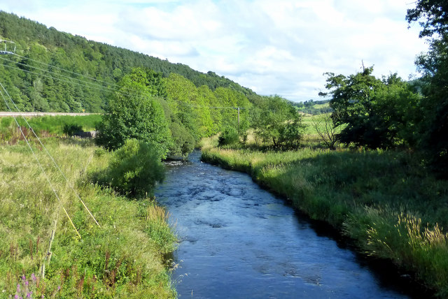
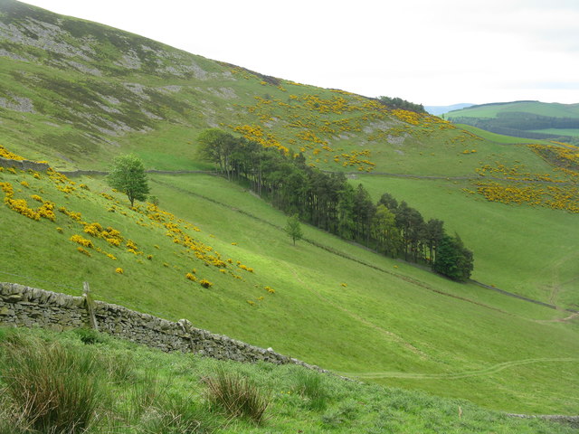
William Law Wood is a forested area located in Roxburghshire, which is a historic county in the Scottish Borders region of Scotland. This woodland covers a vast area and is renowned for its natural beauty and diverse ecosystem.

The forest is named after the nearby village of William Law, which is situated on the eastern edge of the woodland. The area is characterized by its dense vegetation, comprising mainly of various tree species such as oak, birch, and pine. The forest floor is adorned with a carpet of mosses, ferns, and wildflowers, adding to the enchanting ambiance of the woodland.

William Law Wood is not only valued for its picturesque scenery but also for its ecological significance. It serves as a sanctuary for a wide range of wildlife, including numerous bird species, mammals, and insects. It is not uncommon to spot red squirrels darting through the trees or glimpse a roe deer grazing amidst the foliage.

The forest offers a variety of recreational activities for visitors to enjoy. There are well-maintained trails that wind through the woodland, allowing hikers and nature enthusiasts to immerse themselves in the serene surroundings. Additionally, the forest provides opportunities for birdwatching, photography, and picnicking.

Overall, William Law Wood in Roxburghshire is a treasured natural gem, providing a haven for both wildlife and humans alike. Its lush vegetation, diverse fauna, and tranquil atmosphere make it a perfect destination for those seeking solace in nature.

If you have any feedback on the listing, please let us know in the comments section below.

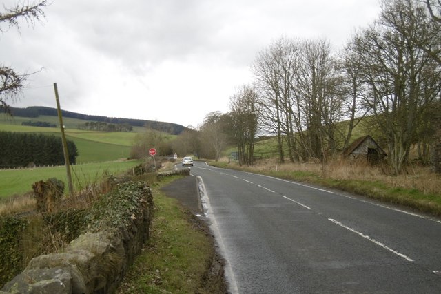
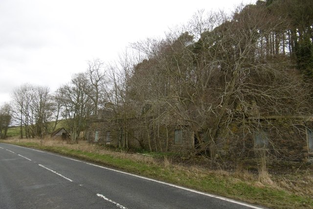
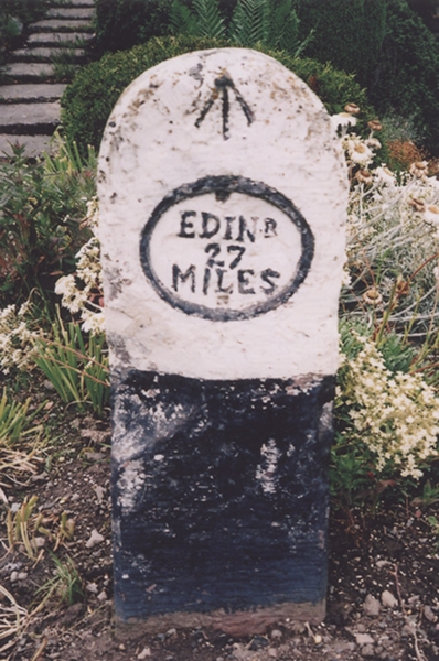
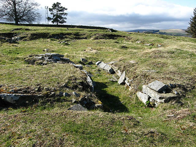
William Law Wood Images

Images are sourced within 2km of 55.644154/-2.8458491 or Grid Reference NT4639. Thanks to Geograph Open Source API. All images are credited.
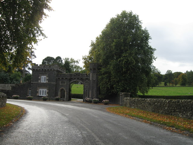
A train on the Borders Railway at Bowland This was taken on 5/9/15 when Golden Ticket holders took return trips covering the whole route from Tweedbank to Edinburgh. The line was open to the public for normal services the following day.
A train on the Borders Railway at Bowland
This was taken on 5/9/15 when Golden Ticket holders took return trips covering the whole route from Tweedbank to Edinburgh. The line was open to the public for normal services the following day.
A train at Bowland on the Borders Railway This northbound train was photographed from a field on the west side of the line. The new Borders Railway was open to the public on 6/9/15.
A train at Bowland on the Borders Railway
This northbound train was photographed from a field on the west side of the line. The new Borders Railway was open to the public on 6/9/15.
A train at Bowland on the Borders Railway This southbound train is about to pass under Harper’s Bridge at Bowland. The new line was open to the public on 6/9/15, the date this photo was taken.
A train at Bowland on the Borders Railway
This southbound train is about to pass under Harper’s Bridge at Bowland. The new line was open to the public on 6/9/15, the date this photo was taken.
A bridge sign on the Borders Railway For a view of the bridge at Bowland, see <a href="https://www.geograph.org.uk/photo/4657031">NT4540 : A train at Bowland on the Borders Railway</a>.
A bridge sign on the Borders Railway
For a view of the bridge at Bowland, see NT4540 : A train at Bowland on the Borders Railway.
A gradient sign on the Borders Railway This sign is on the south side of Harper’s Bridge at Bowland. For a view of the bridge, see <a href="https://www.geograph.org.uk/photo/4657031">NT4540 : A train at Bowland on the Borders Railway</a>.
A gradient sign on the Borders Railway
This sign is on the south side of Harper’s Bridge at Bowland. For a view of the bridge, see NT4540 : A train at Bowland on the Borders Railway.
Ordnance Survey Flush Bracket G319 This can be found on the wall of a farm building at Crosslee Farm.
For more detail see : <span class="nowrap"><a title="http://www.bench-marks.org.uk/bm20139" rel="nofollow ugc noopener" href="http://www.bench-marks.org.uk/bm20139">Link</a><img style="margin-left:2px;" alt="External link" title="External link - shift click to open in new window" src="https://s1.geograph.org.uk/img/external.png" width="10" height="10"/></span>
Ordnance Survey Flush Bracket G319
This can be found on the wall of a farm building at Crosslee Farm. For more detail see : LinkExternal link
Graffiti at the Borders Railway Line This aerosol spray paint job on a stone gabion is the first piece of graffiti I’ve noticed on the railway line.
Graffiti at the Borders Railway Line
This aerosol spray paint job on a stone gabion is the first piece of graffiti I’ve noticed on the railway line.
A train on the Borders Railway This southbound train was viewed from Harper’s Bridge at Bowland.
A train on the Borders Railway
This southbound train was viewed from Harper’s Bridge at Bowland.
The Gala Water Looking downstream from Bowland Bridge on a bright late-August afternoon.
The Gala Water
Looking downstream from Bowland Bridge on a bright late-August afternoon.
Borders Railway Line At Bowland This Scotrail service was heading for Edinburgh.
Borders Railway Line At Bowland
This Scotrail service was heading for Edinburgh.
Going To Edinburgh An Edinburgh-bound Scotrail service, viewed in the Gala Water valley at Bowland.
Going To Edinburgh
An Edinburgh-bound Scotrail service, viewed in the Gala Water valley at Bowland.
Lodge and Gatehouse to the Bowland Estate A smart building, but it looks as if the main entrance to Bowland House might now be a road between two pillars to the right. 
I received an email [September 2023], from Jan Wolfenden in New Zealand, with the following information 'My grandparents raised 9 children in this gatehouse.  James Wilkinson was his name.  My mother came to New Zealand as a ladies maid to Mrs Roberts of what was a large company called Murray Roberts and Co. My mother was born in 1907, two children died of the flu  aged 3 and 18 months.'
Lodge and Gatehouse to the Bowland Estate
A smart building, but it looks as if the main entrance to Bowland House might now be a road between two pillars to the right. I received an email [September 2023], from Jan Wolfenden in New Zealand, with the following information 'My grandparents raised 9 children in this gatehouse. James Wilkinson was his name. My mother came to New Zealand as a ladies maid to Mrs Roberts of what was a large company called Murray Roberts and Co. My mother was born in 1907, two children died of the flu aged 3 and 18 months.'
Caitha Hill A small wood on the northwestern side of a stony hill.
Caitha Hill
A small wood on the northwestern side of a stony hill.
A7, Caitha An awkward junction with the B710 which comes in from Clovenfords.
A7, Caitha
An awkward junction with the B710 which comes in from Clovenfords.
Caitha Mains Empty house beside the A7.
Caitha Mains
Empty house beside the A7.
A vintage train on the Borders Railway at Bowland A vintage diesel engine is hauling a steam special train organised by S.R.P.S. Railtours back to Waverley Station in Edinburgh. A Stanier Black Five steam locomotive which brought the train down to Tweedbank Station is at the other end.
A vintage train on the Borders Railway at Bowland
A vintage diesel engine is hauling a steam special train organised by S.R.P.S. Railtours back to Waverley Station in Edinburgh. A Stanier Black Five steam locomotive which brought the train down to Tweedbank Station is at the other end.
Old Milestone by the A7, Bowland, Stow Parish By the A7, in parish of Stow (District), Bowland, in garden of row of 4 houses.

Inscription reads:- : EDINR. / 27 / MILES :
Carved bench mark on top.

Out of place, should be at GR: NT 4560 4159 where road appears to have been widened.

Surveyed

Milestone Society National ID: BD_EDGS27
Old Milestone by the A7, Bowland, Stow Parish
By the A7, in parish of Stow (District), Bowland, in garden of row of 4 houses. Inscription reads:- : EDINR. / 27 / MILES : Carved bench mark on top. Out of place, should be at GR: NT 4560 4159 where road appears to have been widened. Surveyed Milestone Society National ID: BD_EDGS27
Show me another place!

William Law Wood is located at Grid Ref: NT4639 (Lat: 55.644154, Lng: -2.8458491)

Unitary Authority: The Scottish Borders

Police Authority: The Lothians and Scottish Borders

What 3 Words

///blows.beanbag.slab. Near Galashiels, Scottish Borders

Related Wikis

Nearby Amenities

Located within 500m of 55.644154,-2.8458491
Bus Stop
Halkburn Road End
Bus: yes
Naptan AtcoCode: 69001237
Naptan Bearing: SE
Naptan CommonName: Halkburn Rd End
Naptan Indicator: at
Naptan NaptanCode: 72725475
Naptan Street: A7
Naptan Verified: no
Operator: Scottish Borders Council
Public Transport: platform
Ref: 69001237
Shelter: no
Source: NaPTAN
Tactile Paving: no
Lat/Long: 55.6441489/-2.8504077
Power: pole
Lat/Long: 55.6436457/-2.853583
Power: pole
Lat/Long: 55.6427787/-2.8514445
Power: pole
Lat/Long: 55.6418141/-2.8471126
Power: pole
Lat/Long: 55.6410318/-2.843794
Power: pole
Lat/Long: 55.6404251/-2.8415542
Power: pole
Lat/Long: 55.6422356/-2.8492654
Power: pole
Lat/Long: 55.6413444/-2.8450282
Power: pole
Lat/Long: 55.6457892/-2.8480205
Power: pole
Lat/Long: 55.6464809/-2.8476691
Power: pole
Lat/Long: 55.6472952/-2.8474116
Power: pole
Lat/Long: 55.6482064/-2.84702
Power: pole
Lat/Long: 55.6403418/-2.8442367
Power: pole
Lat/Long: 55.6408035/-2.8428251
Power: pole
Lat/Long: 55.6416145/-2.846115
Power: pole
Lat/Long: 55.6420123/-2.848151
Power: pole
Lat/Long: 55.6424361/-2.85007
Power: pole
Lat/Long: 55.6421215/-2.8506249
Power: pole
Lat/Long: 55.641738/-2.8512917
Power: pole
Lat/Long: 55.6414421/-2.8520654
Power: pole
Lat/Long: 55.6431082/-2.8526915
Power: pole
Lat/Long: 55.6404428/-2.8416134
Power: pole
Lat/Long: 55.6459825/-2.8489184
Power: pole
Lat/Long: 55.6463172/-2.8491194
Power: pole
Lat/Long: 55.6466676/-2.8493383
Power: pole
Lat/Long: 55.6469936/-2.8495445
Power: pole
Lat/Long: 55.6471818/-2.8498982
The data included in this document is from www.openstreetmap.org. The data is made available under ODbL.

Have you been to William Law Wood?

Leave your review of William Law Wood below (or comments, questions and feedback).