Woodside Wood

Wood, Forest in Angus

Scotland

Woodside Wood

Chapel Road near Gagie Looking northward.
Chapel Road near Gagie Credit: Peter Wood

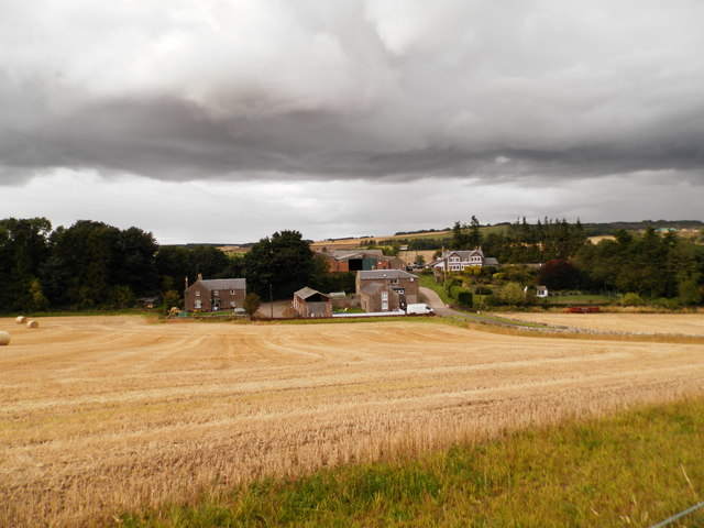
Woodside Wood, Angus (also known as Woodside Forest) is a picturesque woodland located in the Angus region of Scotland. Covering an area of approximately 300 hectares, this enchanting forest offers visitors a serene and tranquil escape into nature.

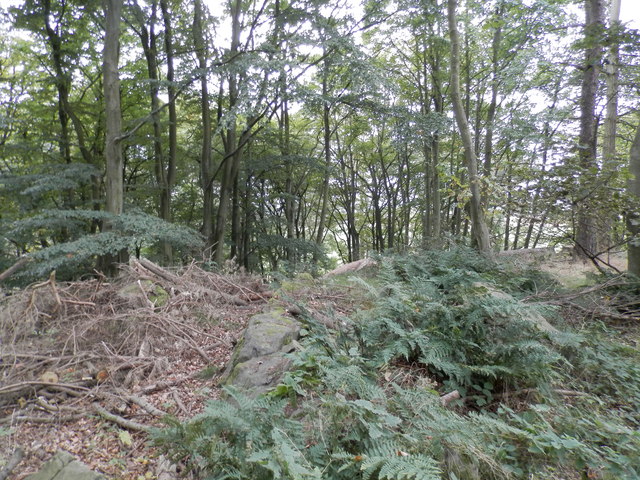
The woodland is predominantly made up of native broadleaved trees such as oak, birch, and beech, creating a diverse and vibrant ecosystem. These trees provide a rich habitat for a variety of wildlife, including deer, foxes, and a wide array of bird species. Visitors may be lucky enough to catch a glimpse of these creatures as they explore the forest trails.

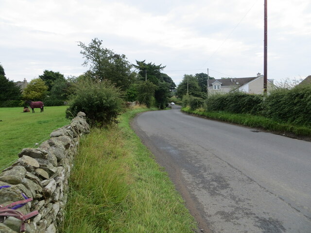
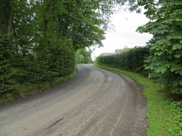
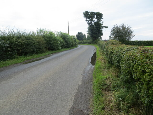
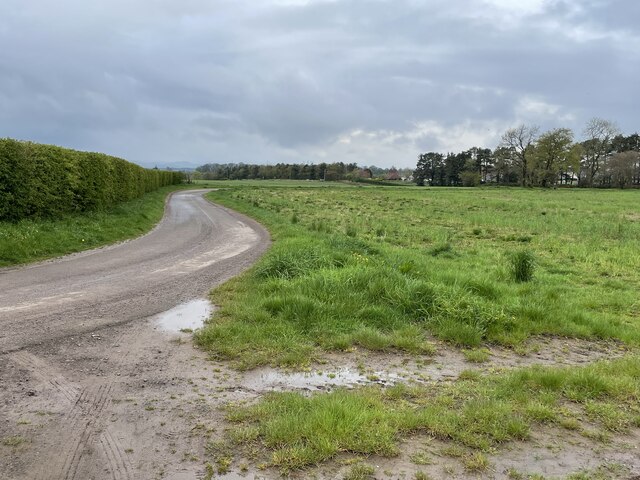
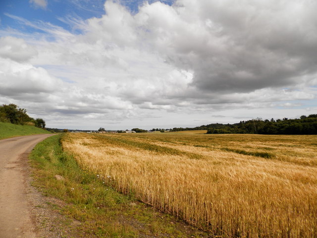
Woodside Wood boasts a network of well-maintained walking trails that cater to different abilities and interests. From leisurely strolls to more challenging hikes, there is a path for everyone to enjoy. The trails wind through the forest, offering breathtaking views of the surrounding countryside and allowing visitors to immerse themselves in the natural beauty of the area.

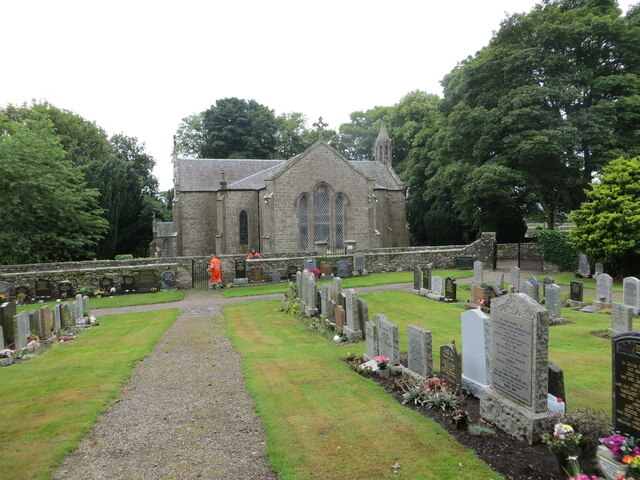
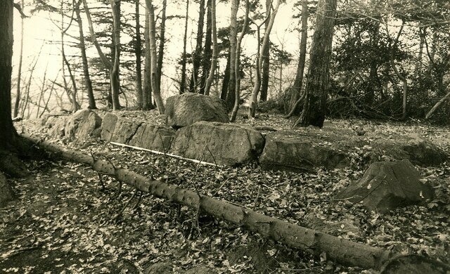
For those interested in history, Woodside Wood also holds cultural significance. The woodland is home to several ancient archaeological sites, including prehistoric settlements and burial mounds, providing a fascinating glimpse into the past.

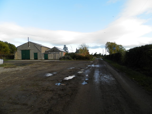
Facilities at Woodside Wood are minimal, with a small car park and basic amenities such as picnic tables and waste bins. However, this simplicity is part of the charm, allowing visitors to truly disconnect from the modern world and connect with nature.

In conclusion, Woodside Wood, Angus is a captivating woodland that offers a peaceful retreat for nature enthusiasts and history lovers alike. With its diverse wildlife, scenic trails, and cultural heritage, it is a must-visit destination for anyone seeking a serene and immersive experience in the heart of Scotland.

If you have any feedback on the listing, please let us know in the comments section below.

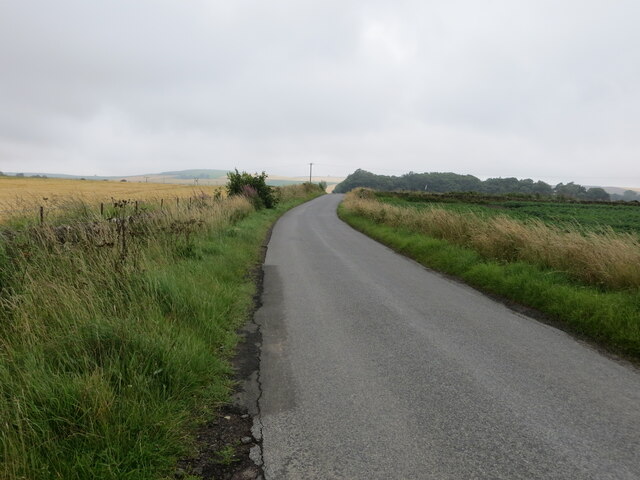
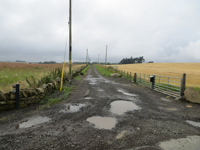
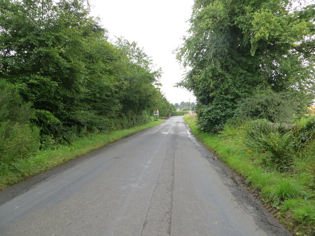
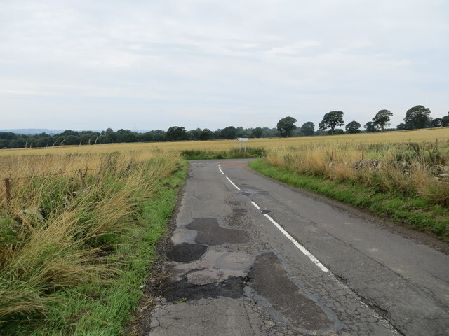
Woodside Wood Images

Images are sourced within 2km of 56.512782/-2.8666124 or Grid Reference NO4635. Thanks to Geograph Open Source API. All images are credited.

Chapel Road near Gagie Looking northward.
Chapel Road near Gagie
Looking northward.
Track through arable fields giving access to Easterton of Gagie Looking north-westward.
Track through arable fields giving access to Easterton of Gagie
Looking north-westward.
Chapel Road approaching Bucklerheads Looking south-eastward. Interestingly the farm is spelt Bucklershead.
Chapel Road approaching Bucklerheads
Looking south-eastward. Interestingly the farm is spelt Bucklershead.
Tree-lined road entering Kellas Looking south-eastward.
Tree-lined road entering Kellas
Looking south-eastward.
Junction of roads near to Westhall Looking south-westward.
Junction of roads near to Westhall
Looking south-westward.
Murroes Church and part of its Burial Ground Viewed from the north-east. A blacksmith can be seen undertaking gate repairs.
Murroes Church and part of its Burial Ground
Viewed from the north-east. A blacksmith can be seen undertaking gate repairs.
Road at Murroes Looking eastward.
Road at Murroes
Looking eastward.
Road at South Kingennie Looking westward.
Road at South Kingennie
Looking westward.
Road near to South Kingennie Looking south-eastward.
Road near to South Kingennie
Looking south-eastward.
St Bride's Ring An Iron Age fortification (Scale 2m) <span class="nowrap"><a title="https://monifiethhistorysociety.co.uk/2013/10/22/st-brides-ring/" rel="nofollow ugc noopener" href="https://monifiethhistorysociety.co.uk/2013/10/22/st-brides-ring/">Link</a><img style="margin-left:2px;" alt="External link" title="External link - shift click to open in new window" src="https://s1.geograph.org.uk/img/external.png" width="10" height="10"/></span>
St Bride's Ring
An Iron Age fortification (Scale 2m) LinkExternal link
Murroes Church There has been a church on this site in Murroes for hundreds of years. The current Parish Church was built in 1848 by William Scott on the site of a much older ecclesiastical building. The earliest date for a church here is 1211 when Gilchrist, Earl of Angus, granted the church to Arbroath Abbey. There are a number of carved stones from the earlier church (or churches) encorporated into the 19th century church, and an original burial vault from the earlier building survives.

A later church was built in 1642 but it is thought a 13th century church was located here originally. The current 1848 church re-uses a date stone (bearing 1642).

The private burial aisle of Colonel Fothringham and his family was built onto the church in the 18th century and documents show that the family contributed to its maintenance in 1809. (Taken from <span class="nowrap"><a title="http://www.scottishchurches.org.uk/sites/site/id/1434/image/8620/name/Murroes+Medieval+Church+Murroes+Tayside)" rel="nofollow ugc noopener" href="http://www.scottishchurches.org.uk/sites/site/id/1434/image/8620/name/Murroes+Medieval+Church+Murroes+Tayside)">Link</a><img style="margin-left:2px;" alt="External link" title="External link - shift click to open in new window" src="https://s1.geograph.org.uk/img/external.png" width="10" height="10"/></span>
Murroes Church
There has been a church on this site in Murroes for hundreds of years. The current Parish Church was built in 1848 by William Scott on the site of a much older ecclesiastical building. The earliest date for a church here is 1211 when Gilchrist, Earl of Angus, granted the church to Arbroath Abbey. There are a number of carved stones from the earlier church (or churches) encorporated into the 19th century church, and an original burial vault from the earlier building survives. A later church was built in 1642 but it is thought a 13th century church was located here originally. The current 1848 church re-uses a date stone (bearing 1642). The private burial aisle of Colonel Fothringham and his family was built onto the church in the 18th century and documents show that the family contributed to its maintenance in 1809. (Taken from LinkExternal link
Farm road leading in a Z shape to the village of Wellbank, north of Dundee Rural farm track leading to the curiously named collection of dwellings Shank of Omachie. Large arable fields surround the former and existing farm cottages here, with skylarks singing loudly.
Farm road leading in a Z shape to the village of Wellbank, north of Dundee
Rural farm track leading to the curiously named collection of dwellings Shank of Omachie. Large arable fields surround the former and existing farm cottages here, with skylarks singing loudly.
Track and field at Omachie, Kingennie
Field at Shank of Omachie
Farm at Omachie
Farm at Omachie
St Bride's Ring, Kingennie St Bride's Ring is now largely overgrown in a wooded hill near Kingennie.  It measured roughly 60 feet in diameter. Many of the large rocks which formed the 7 foot high wall lie below.
St Bride's ring has been classified as a broch by some authorities. It is similar to some of the ring forts of central Perthshire.
See also <span class="nowrap"><a title="http://www.monifiethhistorysociety.co.uk/2013/10/22/st-brides-ring/" rel="nofollow ugc noopener" href="http://www.monifiethhistorysociety.co.uk/2013/10/22/st-brides-ring/">Link</a><img style="margin-left:2px;" alt="External link" title="External link - shift click to open in new window" src="https://s1.geograph.org.uk/img/external.png" width="10" height="10"/></span>
St Bride's Ring, Kingennie
St Bride's Ring is now largely overgrown in a wooded hill near Kingennie. It measured roughly 60 feet in diameter. Many of the large rocks which formed the 7 foot high wall lie below. St Bride's ring has been classified as a broch by some authorities. It is similar to some of the ring forts of central Perthshire. See also LinkExternal link
Shank of Omachie
Shank of Omachie
Show me another place!

Woodside Wood is located at Grid Ref: NO4635 (Lat: 56.512782, Lng: -2.8666124)

Unitary Authority: Angus

Police Authority: Tayside

What 3 Words

///bulge.mondays.shrimp. Near Monifieth, Angus

Nearby Locations

Murroes Woodside Wood

Related Wikis

Gagie railway station

Gagie Halt railway station was a railway halt in Scotland, on the Dundee and Forfar direct line, built by the London, Midland and Scottish Railway. It...

Bucklerheads

Bucklershead is a village in Angus, Scotland. It lies approximately three miles north of Monifieth, on the B978 road. == References ==

Wellbank

Wellbank is a village in Angus, Scotland. It lies approximately three miles north of Dundee, on the B978 road. == Local Bus Services in the Area == Based...

Murroes

Murroes is a parish in Angus, Scotland, situated approximately 3 miles (4.8 km) north of Dundee city centre. == Places of interest == The parish church...

Nearby Amenities

Located within 500m of 56.512782,-2.8666124
Woodside
Place: isolated_dwelling
Lat/Long: 56.5160852/-2.865175
Woodville
Place: isolated_dwelling
Lat/Long: 56.5120363/-2.8692948
Power: pole
Lat/Long: 56.5162968/-2.8655576
Power: pole
Lat/Long: 56.5167003/-2.8656463
Power: pole
Lat/Long: 56.5171271/-2.8658014
Gagie
Historic Railway: station
Railway: site
Wikidata: Q30625147
Wikipedia: en:Gagie railway station
Lat/Long: 56.5162236/-2.8688077
The data included in this document is from www.openstreetmap.org. The data is made available under ODbL.

Have you been to Woodside Wood?

Leave your review of Woodside Wood below (or comments, questions and feedback).