Torphantrick Wood
Wood, Forest in Aberdeenshire
Scotland
Torphantrick Wood
The requested URL returned error: 503 Service Temporarily Unavailable
If you have any feedback on the listing, please let us know in the comments section below.
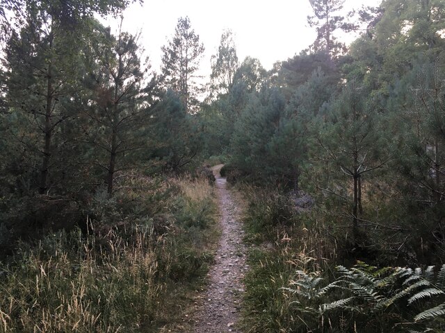
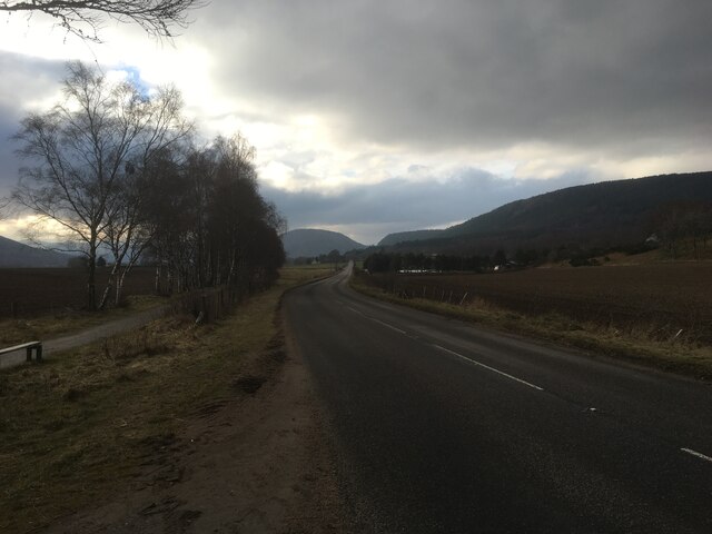
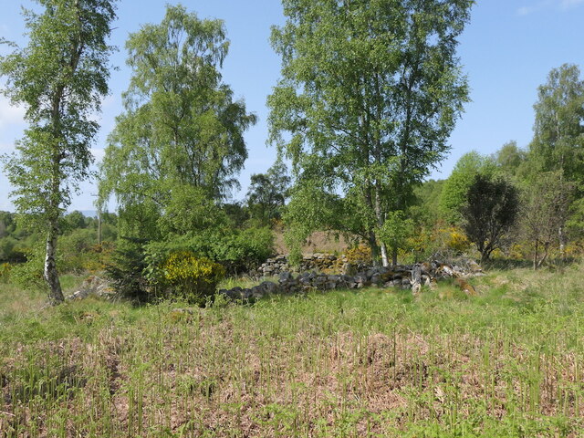
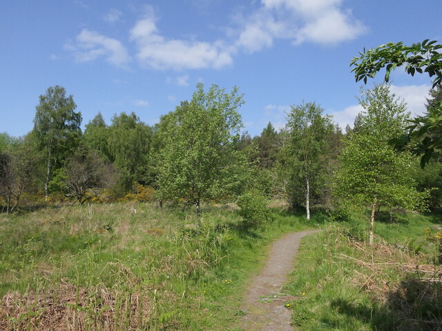
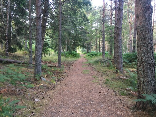
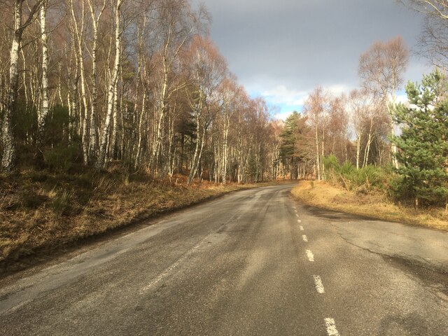
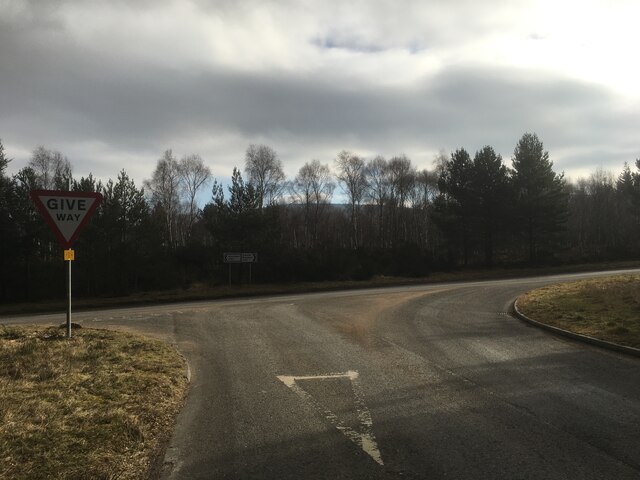
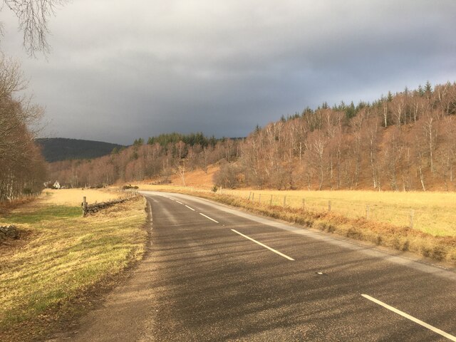
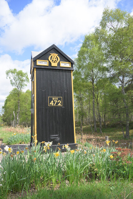
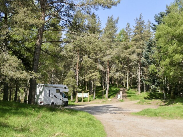
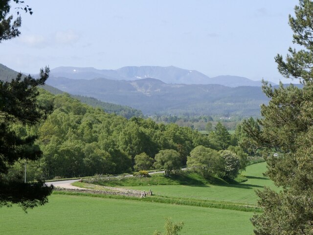
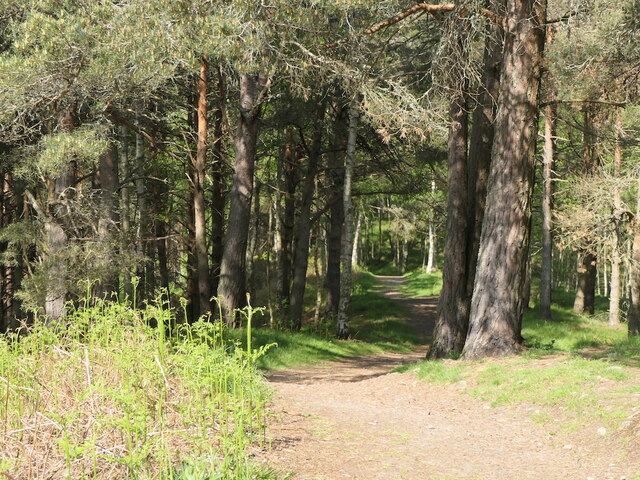
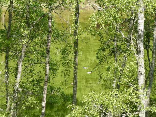
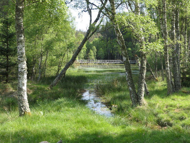
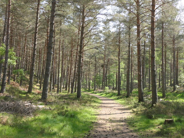
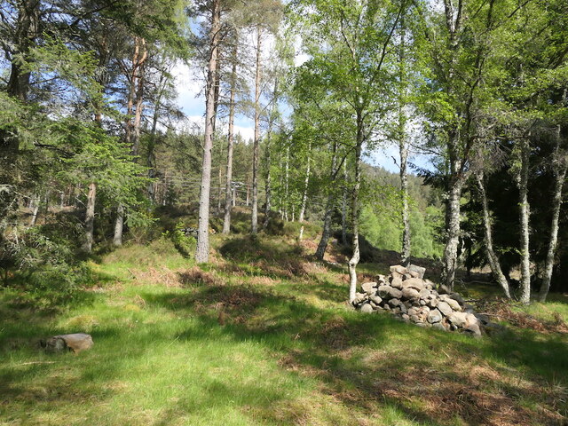
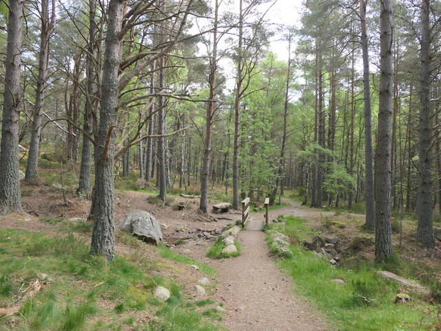
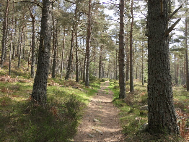
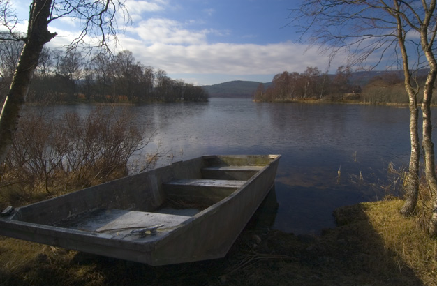
Torphantrick Wood Images
Images are sourced within 2km of 57.066308/-2.9709026 or Grid Reference NO4197. Thanks to Geograph Open Source API. All images are credited.
Torphantrick Wood is located at Grid Ref: NO4197 (Lat: 57.066308, Lng: -2.9709026)
Unitary Authority: Aberdeenshire
Police Authority: North East
What 3 Words
///potions.electrode.foam. Near Ballater, Aberdeenshire
Nearby Locations
Related Wikis

Cambus O' May bridge
The Cambus O' May bridge spans the River Dee to the east of Ballater, Aberdeenshire, Scotland. It was paid for by the estate of Alexander Gordon, who...

Cambus O'May railway station
Cambus O'May railway station or Cambus O'May Halt, served Aberdeenshire, Scotland from 1876 to 1966 on the Deeside Railway. It was intended to serve the...

Tullich
Tullich (, Scottish Gaelic: An Tulach) is a village in Aberdeenshire, Scotland. It is known as the birthplace of St. Nathalan and also as the site of...

Burn O'Vat
Burn O'Vat is a pothole located close to Loch Kinord near the village of Dinnet in Aberdeenshire, Scotland. == Formation == Around 16,000 years ago, the...

Dee Castle
Dee Castle was a 15th-century castle, about 5 miles (8.0 km) east of Ballater, Aberdeenshire, Scotland, and south of the River Dee.It may be known alternatively...

Muir of Dinnet
Muir of Dinnet is a national nature reserve (NNR) situated close to the village of Dinnet in Aberdeenshire, Scotland. The reserve extends 1166 hectares...
Loch Kinord
Loch Kinord is a small, freshwater loch at Muir of Dinnet, Aberdeenshire, Scotland just north of the River Dee and 5 mi (8 km) east of Ballater. The loch...
Kinord Castle
Kinord Castle, also known as Loch Kinord Castle, was a 14th-century castle on Castle Island in Loch Kinord to the south of Old Kinord, Aberdeenshire, Scotland...
Have you been to Torphantrick Wood?
Leave your review of Torphantrick Wood below (or comments, questions and feedback).