Craigellachie Wood
Wood, Forest in Morayshire
Scotland
Craigellachie Wood
Craigellachie Wood is a picturesque forest located in Morayshire, Scotland. Covering an area of approximately 2,500 acres, it is renowned for its natural beauty and diverse wildlife. The wood is situated near the village of Craigellachie, nestled within the stunning Speyside region, which is famous for its whisky production and breathtaking landscapes.
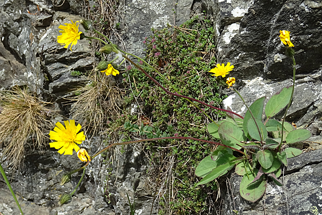
The woodland is predominantly composed of native tree species such as oak, birch, and pine, creating a rich and varied ecosystem. Walking through the wood, visitors can enjoy the peaceful sounds of nature and the enchanting fragrance of wildflowers that bloom in abundance during the spring and summer months.
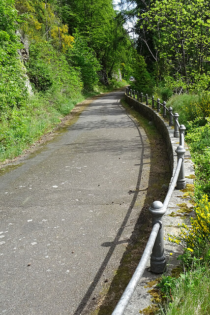
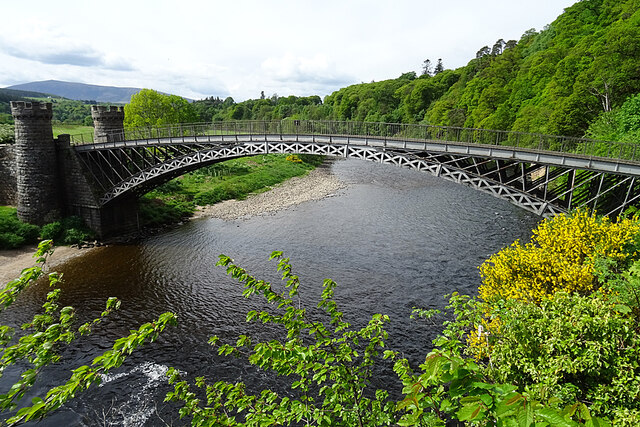
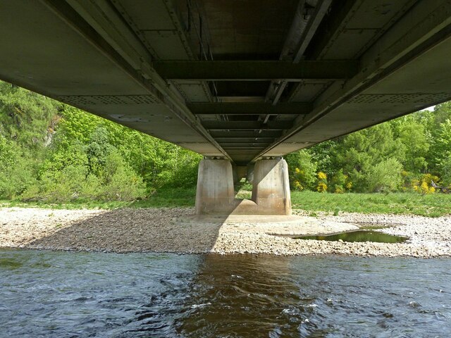
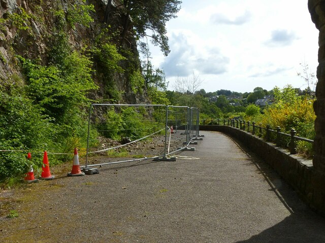
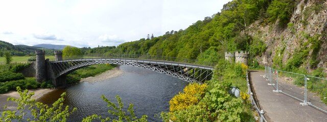
One of the highlights of Craigellachie Wood is the River Spey, which meanders through the forest, adding to its charm and tranquility. The river is well-known for its salmon fishing, attracting anglers from around the world. The wood also boasts several walking trails of varying difficulty, allowing visitors to explore the forest at their own pace and admire its stunning vistas.
Wildlife enthusiasts will be delighted by the diverse range of animal species that call Craigellachie Wood home. Red squirrels, roe deer, and a variety of bird species can be spotted throughout the forest. Lucky visitors might even catch a glimpse of the elusive pine marten or the majestic golden eagle soaring above the treetops.
Overall, Craigellachie Wood offers a captivating experience for nature lovers, providing a peaceful retreat from the hustle and bustle of everyday life. Its natural beauty and abundant wildlife make it a must-visit destination for those seeking a true Scottish woodland experience.
If you have any feedback on the listing, please let us know in the comments section below.
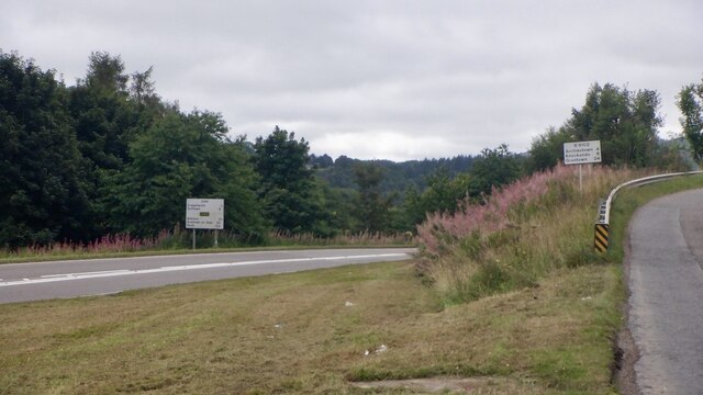
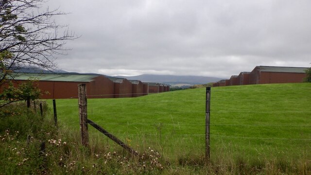
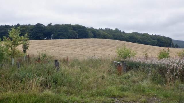
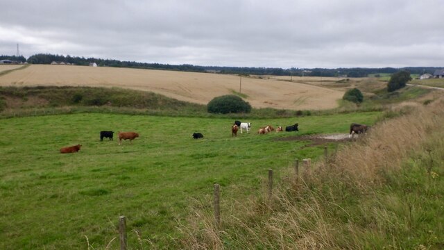
Craigellachie Wood Images
Images are sourced within 2km of 57.495677/-3.2061513 or Grid Reference NJ2745. Thanks to Geograph Open Source API. All images are credited.
Craigellachie Wood is located at Grid Ref: NJ2745 (Lat: 57.495677, Lng: -3.2061513)
Unitary Authority: Moray
Police Authority: North East
What 3 Words
///soonest.requests.example. Near Charlestown of Aberlour, Moray
Nearby Locations
Related Wikis

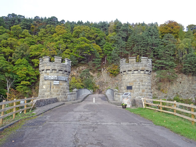
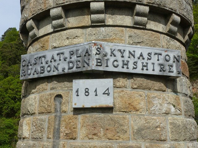
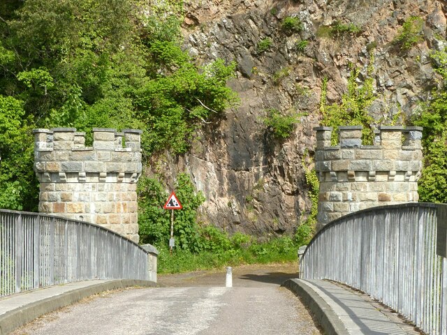
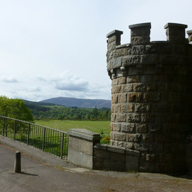
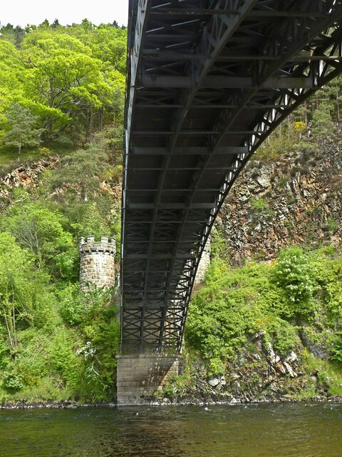
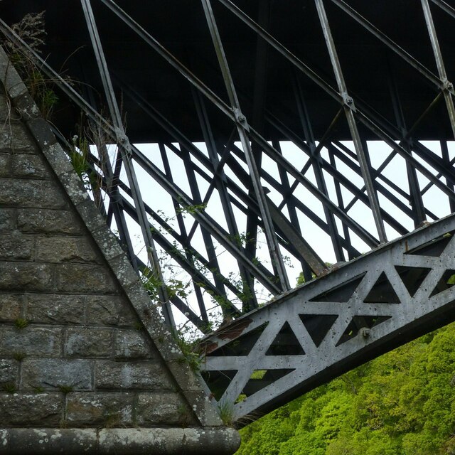
Craigellachie Bridge
Craigellachie Bridge is a cast iron arch bridge across the River Spey at Craigellachie, near to the village of Aberlour in Moray, Scotland. It was designed...

Dandaleith railway station
Dandaleith railway station served the village of Craigellachie, Moray, Scotland from 1858 to 1965 on the Morayshire Railway. == History == The station...

The Macallan distillery
The Macallan distillery is a single malt Scotch whisky distillery in Craigellachie, Moray, Scotland. The Macallan Distillers Ltd is a wholly owned subsidiary...

Craigellachie, Moray
Craigellachie (Scottish Gaelic: Creag Eileachaidh) is a small village in Moray, Scotland, at the confluence of the River Spey and River Fiddich (whose...

Dandaleith stone
The Dandaleith stone is a Class I Pictish stone from Craigellachie, Scotland. It was discovered in May 2013 during ploughing. == Location == The exact...

Craigellachie distillery
Craigellachie distillery is a single malt Scotch whisky distillery in the village of Craigellachie at the centre of the Speyside whisky producing area...
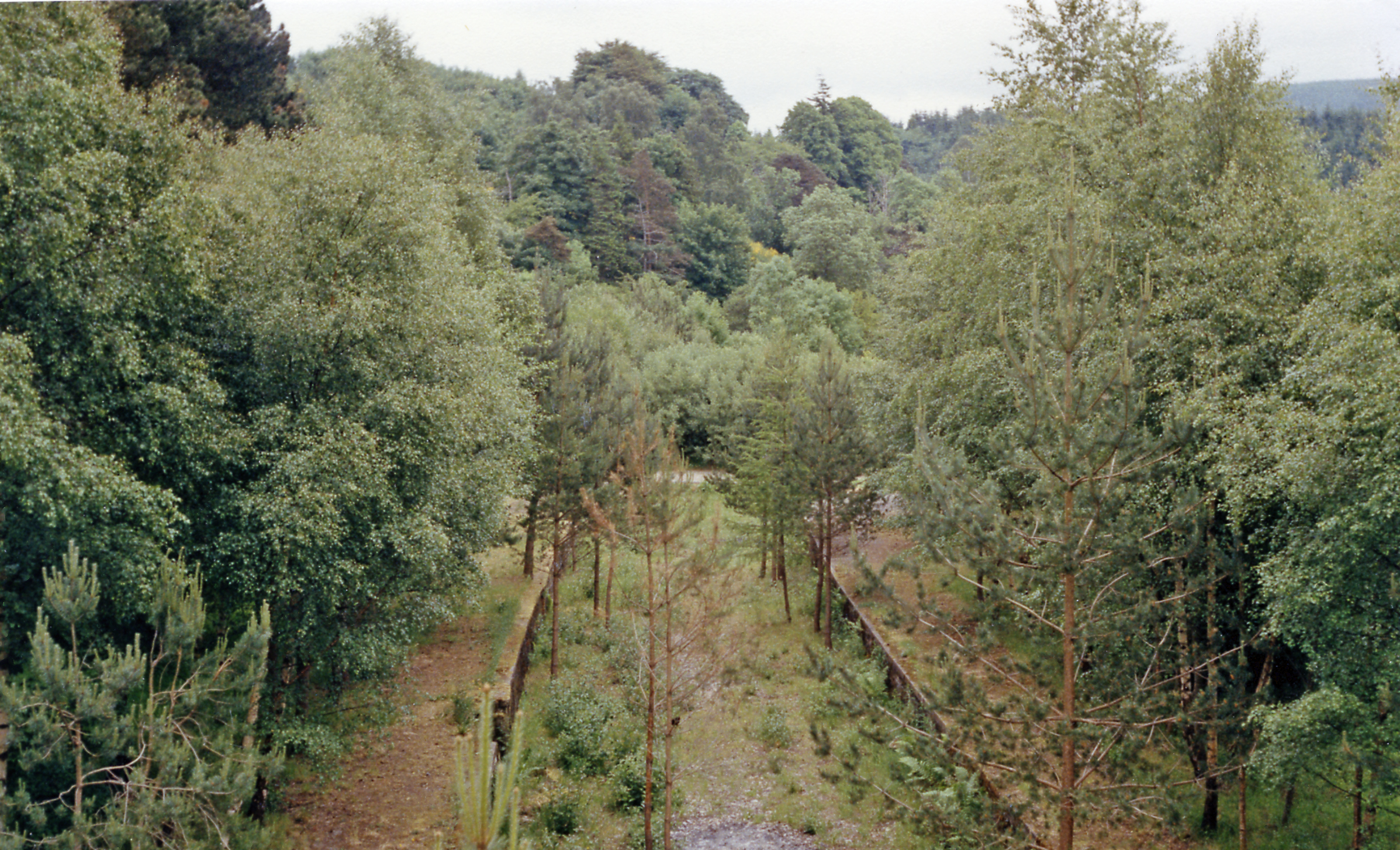
Craigellachie railway station
Craigellachie railway station served the village of Craigellachie, Moray, Scotland from 1863 to 1968 on the Morayshire Railway and the Strathspey Railway...
Arndilly
Arndilly is a place and former parish in Moray, Scotland. The parish was united with the parish of Boharm in 1618. The name was previously Ardintullie...
Nearby Amenities
Located within 500m of 57.495677,-3.2061513Have you been to Craigellachie Wood?
Leave your review of Craigellachie Wood below (or comments, questions and feedback).