Hilton Wood
Wood, Forest in Inverness-shire
Scotland
Hilton Wood
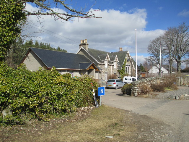
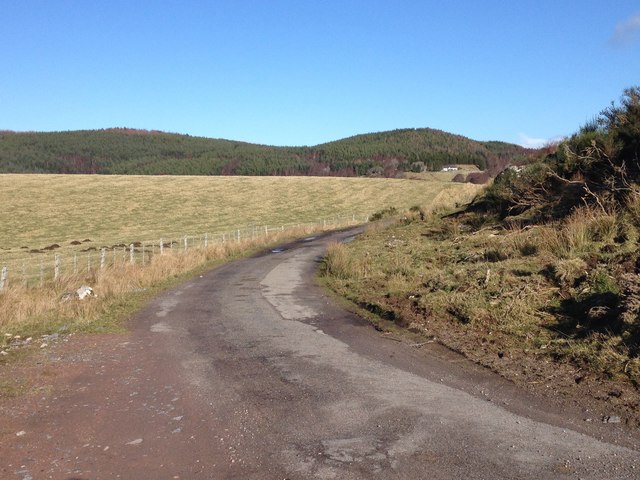
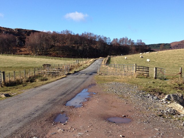
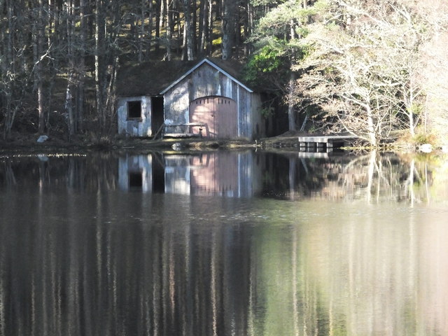
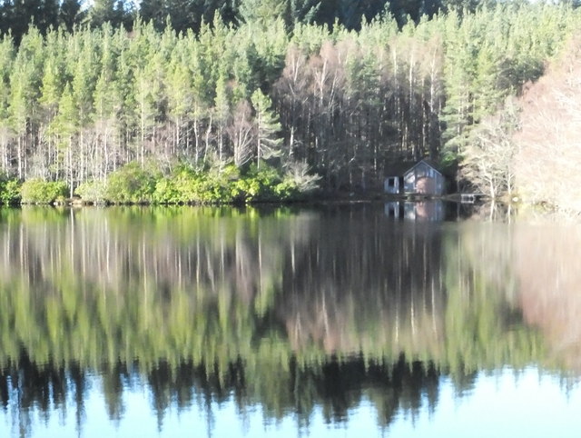
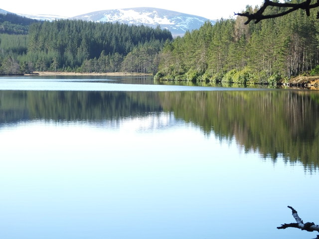
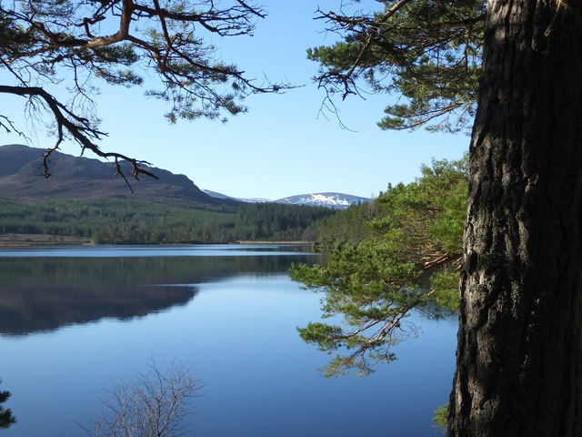
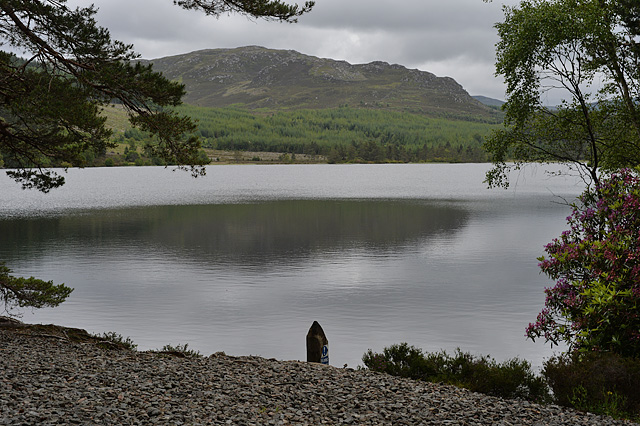
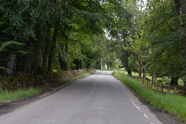
Hilton Wood is a picturesque forest located in Inverness-shire, Scotland. Spread across a vast area, it offers visitors a tranquil and enchanting experience amidst nature's beauty. The woodland is situated near the village of Hilton, which adds to its charm and accessibility.
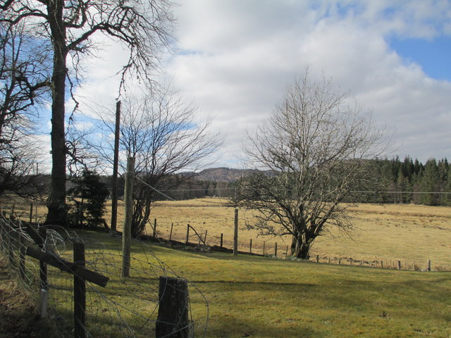
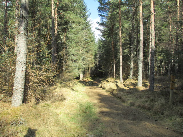
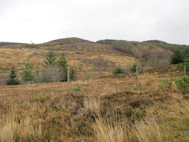
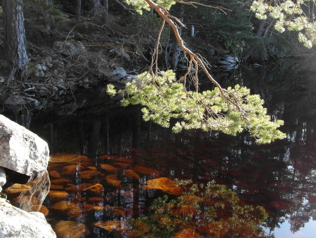
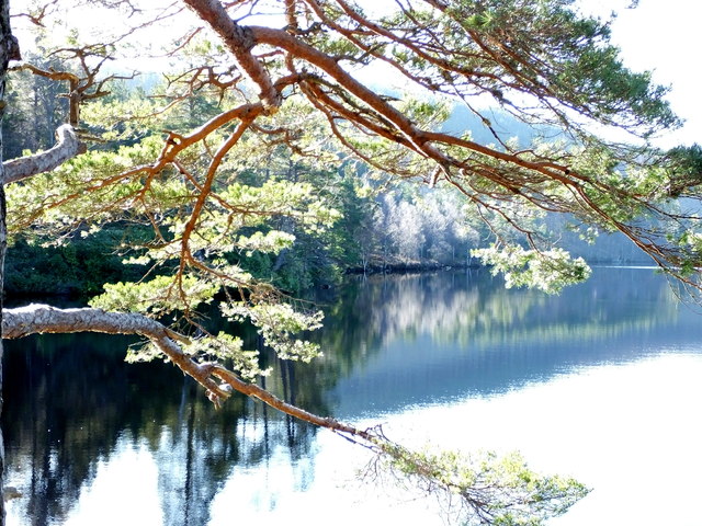
The forest is characterized by a diverse range of trees, including oak, birch, and pine, which create a rich tapestry of colors and textures throughout the year. The dense foliage provides a habitat for various wildlife species, such as red deer, squirrels, and a variety of bird species, making it a popular spot for nature enthusiasts and birdwatchers.
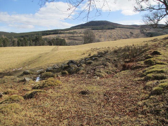
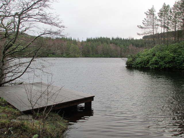
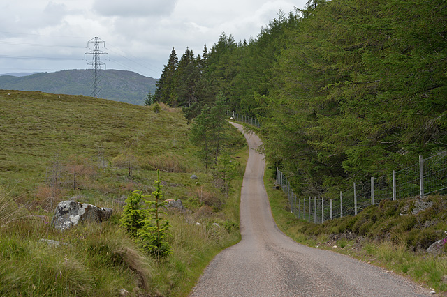
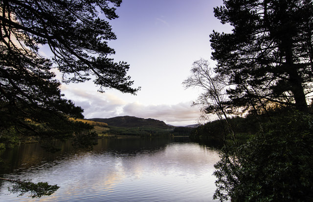
There are several well-maintained walking trails that wind through the forest, allowing visitors to explore the area at their own pace. These trails offer stunning views of the surrounding landscape, with glimpses of nearby lochs and rolling hills. The forest also boasts a network of mountain bike trails, catering to adventure seekers and cyclists.
Hilton Wood is not only a place of natural beauty but also holds historical significance. It is believed to have been a part of the ancient Caledonian Forest, which covered large parts of Scotland centuries ago. The remnants of this ancient woodland can still be seen in some areas of Hilton Wood, adding a sense of wonder and heritage to the experience.
Overall, Hilton Wood in Inverness-shire is a haven for those seeking solace in nature. Its idyllic setting, diverse flora and fauna, and rich historical background make it a must-visit destination for nature lovers and outdoor enthusiasts alike.
If you have any feedback on the listing, please let us know in the comments section below.
Hilton Wood Images
Images are sourced within 2km of 57.360442/-4.1927025 or Grid Reference NH6832. Thanks to Geograph Open Source API. All images are credited.
Hilton Wood is located at Grid Ref: NH6832 (Lat: 57.360442, Lng: -4.1927025)
Unitary Authority: Highland
Police Authority: Highlands and Islands
What 3 Words
///importers.classed.suiting. Near Milton of Leys, Highland
Nearby Locations
Related Wikis

Farr, Strathnairn
Farr (Gaelic: Fàrr) is a large area in Strathnairn, about 12 kilometres (7.5 mi) south of Inverness, in the Highland of Scotland. Much of the area is spread...

Strathnairn
Strathnairn (Gaelic: Srath Narann) is an area of the Scottish Highlands approximately 8 miles southwest of Inverness, bordering the Monadhliath Mountains...
Inverernie
Inverernie (Gaelic: Inbhir Fhearna) is a small settlement, with a local shop, within Farr and the wider area of Strathnairn in the Highlands of Scotland...
Balnafoich
Balnafoich (Scottish Gaelic: Baile na Faich meaning Township of the Green Field) was once only a small croft, but is now a little settlement lying 7 miles...
East Croachy
East Croachy is a small hamlet in the Highland council area, in the Highlands of Scotland. It is located 1 mile (1.6 km) east of Loch Ruthven, and 5 miles...

Loch Duntelchaig
Loch Duntelchaig (from the Scottish Gaelic Loch Dun Seilcheig) is a freshwater loch in the traditional county of Inverness-shire in the Scottish Highlands...

Carn Glas
Carn Glas is a neolithic chambered cairn burial site near Inverness in Scotland. The site is to the south-east of Achvraid on Essich Moor and consists...

Farr Wind Farm
Farr Wind Farm is located approximately 10 miles (16 km) south of Inverness in Scotland, to the south-east of the Farr area, and to the west of the A9...
Related Videos
![[TRAVEL VIDEO] Scottish Highlands - Shot on iPhone](https://i.ytimg.com/vi/6ejxYMTxrbU/hqdefault.jpg)
[TRAVEL VIDEO] Scottish Highlands - Shot on iPhone
March 2020 Shot on built-in phone camera & DJI Mavic Mini (5% of shots) Editor: Quik mobile app Music: Signal to Noise, ...

NC500 NORTH COAST 500 & NORTH WEST SCOTLAND LANDSCAPE PHOTOGRAPHY LOCATIONS in 4K
NC500 Landscape Photography Locations. 4K. An amazing three day trip to the North West of Scotland in glorious weather, ...
NC500 & St Andrews road trip 2020
Road trip to NC500 Loch Ness Durness John o groats Inverness and St Andrews #NC500 #staycation #homeofgolf.

The Highlands vlog2| exploring Drumnadrochit |Fort Augustus |Oban
This video will show you the beautiful place of Drumnadrochit, fort Augustus and Oban in highlands Scotland. Anyway was taken ...
Nearby Amenities
Located within 500m of 57.360442,-4.1927025Have you been to Hilton Wood?
Leave your review of Hilton Wood below (or comments, questions and feedback).