Netherwood Plantation

Wood, Forest in Ayrshire

Scotland

Netherwood Plantation

Polkebock Burn
Polkebock Burn Credit: Chris Wimbush

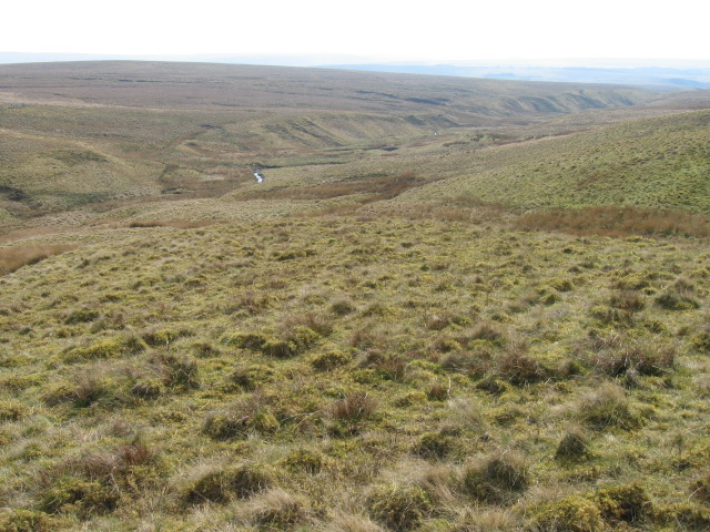
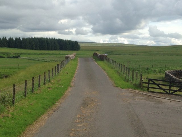
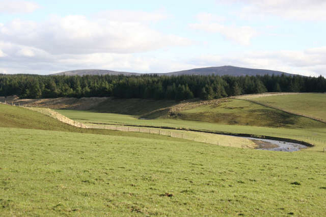
Netherwood Plantation is a picturesque woodland located in Ayrshire, Scotland. Covering an area of approximately 100 acres, this stunning plantation is known for its diverse range of tree species and its tranquil atmosphere.

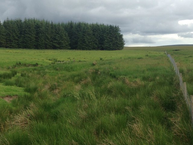
The plantation is home to a rich variety of trees, including oak, beech, birch, and pine, creating a vibrant and lush environment. The trees are well-maintained, with tall and healthy trunks, and their branches provide a dense canopy that offers shade and shelter to the wildlife residing within.

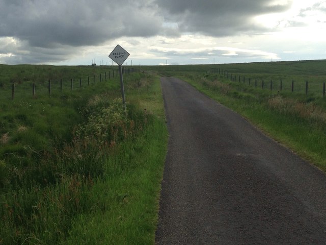
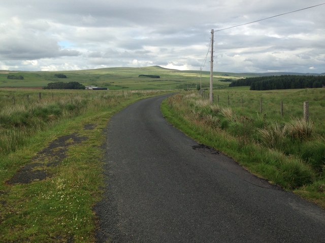
Netherwood Plantation is a popular destination for nature enthusiasts, hikers, and wildlife photographers. The well-marked trails winding through the woodland allow visitors to explore the plantation at their own pace. These trails offer breathtaking views of the surrounding countryside and provide opportunities to spot various species of birds, small mammals, and even the occasional deer.

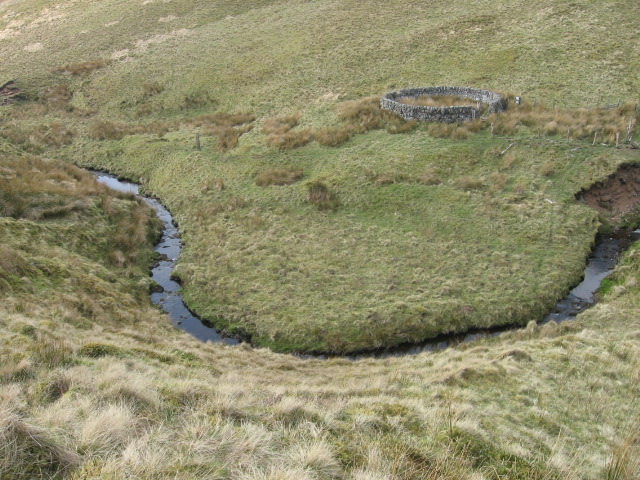
The plantation is also home to a small pond, which adds to its charm and provides a habitat for frogs, dragonflies, and other aquatic creatures. The serene ambiance of the plantation, coupled with the sounds of birdsong and the rustling of leaves, creates a perfect setting for relaxation and contemplation.

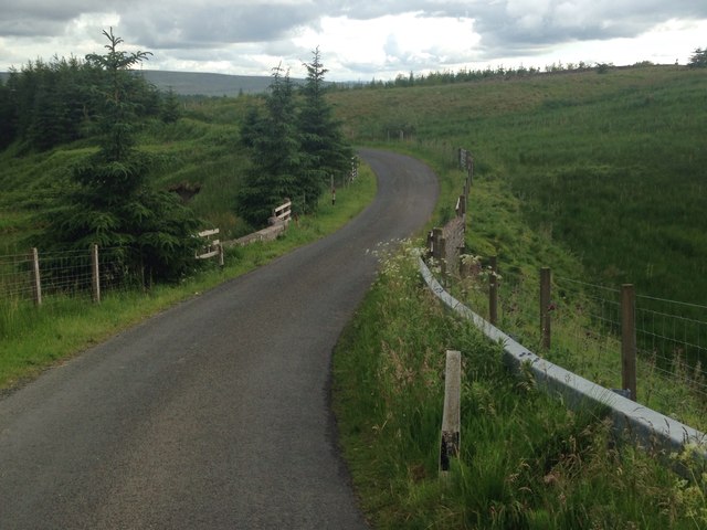
Netherwood Plantation is easily accessible, with a car park available for visitors. The plantation is open year-round, with the changing seasons adding their own beauty and charm to the landscape. Whether it is a leisurely stroll or an immersive nature experience, Netherwood Plantation offers a delightful escape into the natural splendor of Ayrshire.

If you have any feedback on the listing, please let us know in the comments section below.

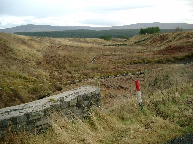
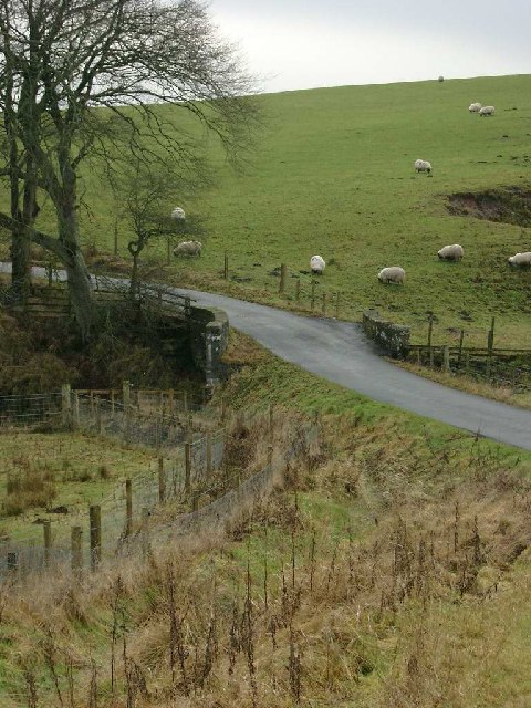
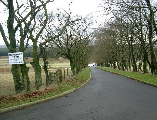
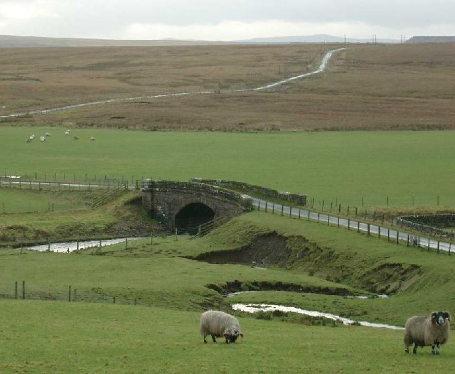
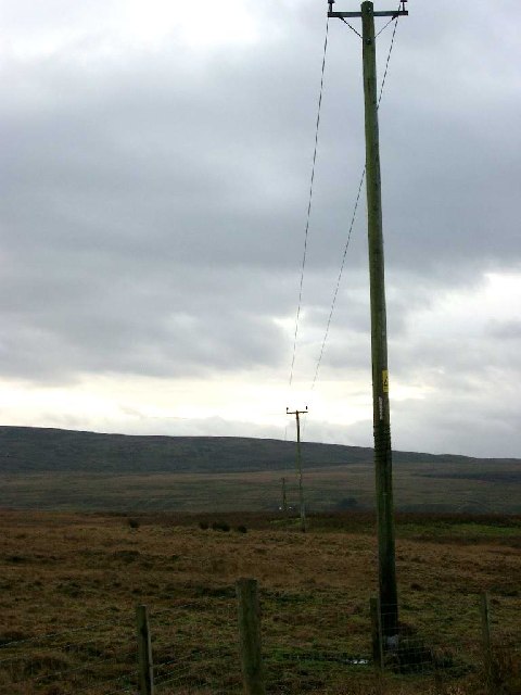
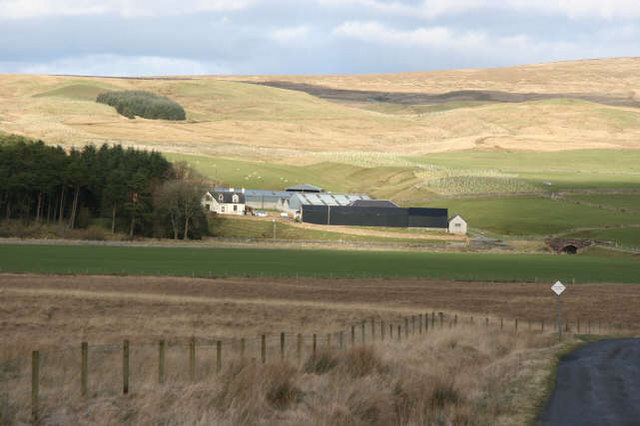
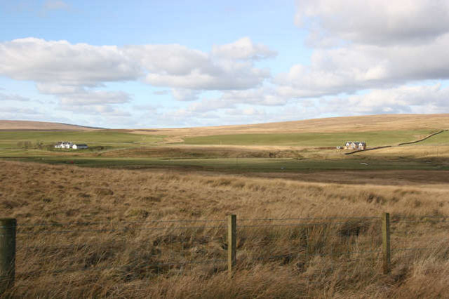
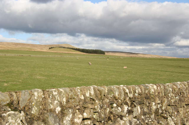
Netherwood Plantation Images

Images are sourced within 2km of 55.53572/-4.1246566 or Grid Reference NS6628. Thanks to Geograph Open Source API. All images are credited.

Polkebock Burn
Polkebock Burn
Sheepfold by Polkebock Burn
Minor road over Harwood Burn Bridge
Road over Burnfoot Burn Bridge
Minor road over Netherwood Bridge
Mossy Burn and Burnfoot Plantation
Minor road near Netherwood
The Harwood Burn
The Harwood Burn
Bridge over the Back Burn at Burnfoot
Burnfoot farm roadend
Bridge over the Greenock Water
Minor tributary of the Greenock Water near Netherwood
11KV line marching to Marchouse Hill
Netherwood Farm The farm is located at a bridging point and just above the floodplain of the Greenock Water. It is a farm with an interest in both sheep and beef cattle. Located on the south facing slopes of a ridge running up to the summit of Middlefield Law (<a href="https://www.geograph.org.uk/gridref/NS6830">NS6830</a>), there is a marked contrast between the improved grassland round the farm and the moorland vegetation of the north facing slope in the foreground. There are several areas of new plantings of trees along the small tributary valley above and to the side of the farm buildings.
Netherwood Farm
The farm is located at a bridging point and just above the floodplain of the Greenock Water. It is a farm with an interest in both sheep and beef cattle. Located on the south facing slopes of a ridge running up to the summit of Middlefield Law (NS6830), there is a marked contrast between the improved grassland round the farm and the moorland vegetation of the north facing slope in the foreground. There are several areas of new plantings of trees along the small tributary valley above and to the side of the farm buildings.
Dispersed settlement A view across the valley of the Greenock Water to Greenockdyke in (NS6528). It also shows the way in which the land is used along the track west from Netherwood Farm (NS6628). The new house, right centre in the photograph, is a replacement for the original dwelling which was accidentally burned down a short time ago.
Dispersed settlement
A view across the valley of the Greenock Water to Greenockdyke in (NS6528). It also shows the way in which the land is used along the track west from Netherwood Farm (NS6628). The new house, right centre in the photograph, is a replacement for the original dwelling which was accidentally burned down a short time ago.
Dry-stane dyke The valley of the Greenock Water benefits from having a band of limestone which has been quarried over the years and used to improve the quality of the grassland. Here it has been used to provide a boundary wall along the minor road which links with the A723 Strathaven to Muirkirk road in NS6930. The improved grassland lies on the slopes of a ridge which runs north-east to the summit of Middlefield Law (<a href="https://www.geograph.org.uk/gridref/NS6830">NS6830</a>).
Dry-stane dyke
The valley of the Greenock Water benefits from having a band of limestone which has been quarried over the years and used to improve the quality of the grassland. Here it has been used to provide a boundary wall along the minor road which links with the A723 Strathaven to Muirkirk road in NS6930. The improved grassland lies on the slopes of a ridge which runs north-east to the summit of Middlefield Law (NS6830).
Greenock Water Contrasting land uses between the south facing side of the valley where the improved grassland provides grazing for sheep and in the summer for beef cattle and the dense coniferous plantation along the colder,north facing surface of the river terrace.
Greenock Water
Contrasting land uses between the south facing side of the valley where the improved grassland provides grazing for sheep and in the summer for beef cattle and the dense coniferous plantation along the colder,north facing surface of the river terrace.
Show me another place!

Netherwood Plantation is located at Grid Ref: NS6628 (Lat: 55.53572, Lng: -4.1246566)

Unitary Authority: East Ayrshire

Police Authority: Ayrshire

What 3 Words

///finders.inefficient.tastings. Near Muirkirk, East Ayrshire

Nearby Locations

Netherwood Plantation

Related Wikis

Garpel Water

The Garpel Water is a river near Muirkirk, Scotland. It flows under the Sanquhar bridge and Tibbie's Brig. It flows into the River Ayr.

Greenock Water

Greenock Water is a river in East Ayrshire, Scotland. It flows out of the Dippal Burn, about 2 miles south of Dungavel Hill. A tributary of the River Ayr...

Muirkirk

Muirkirk (Scottish Gaelic: Eaglais an t-Slèibh) is a small village in East Ayrshire, southwest Scotland. It is located on the north bank of the River Ayr...

Garpel Linn

Garpel Linn is a waterfall of Scotland. == See also == Waterfalls of Scotland == References ==

Nearby Amenities

Located within 500m of 55.53572,-4.1246566
The data included in this document is from www.openstreetmap.org. The data is made available under ODbL.

Have you been to Netherwood Plantation?

Leave your review of Netherwood Plantation below (or comments, questions and feedback).