Doire nan Duilleag
Wood, Forest in Inverness-shire
Scotland
Doire nan Duilleag
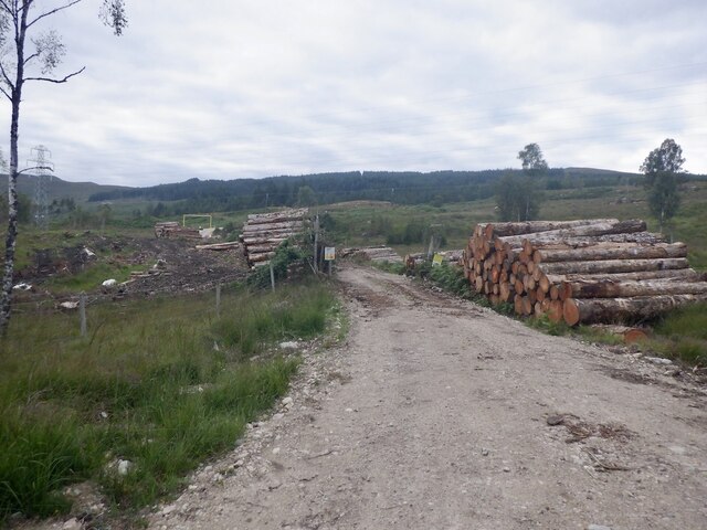
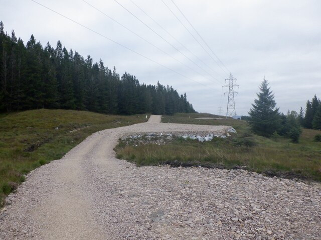
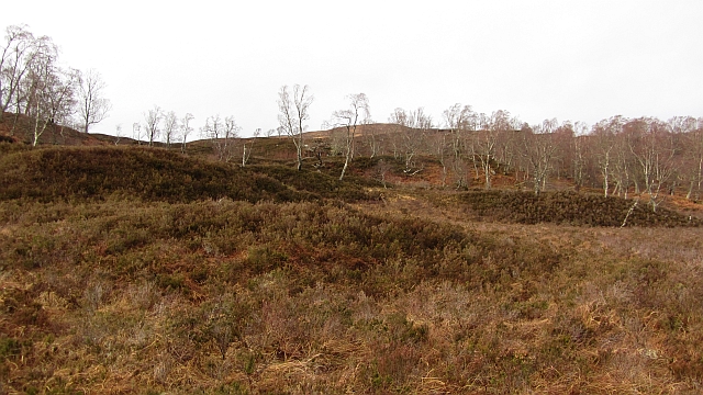
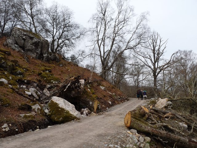
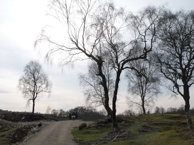
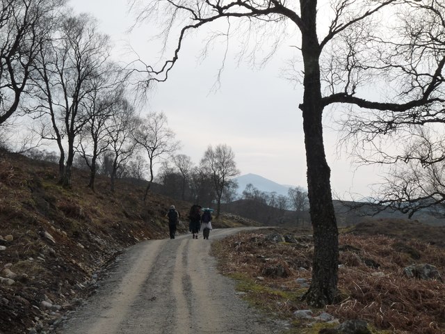
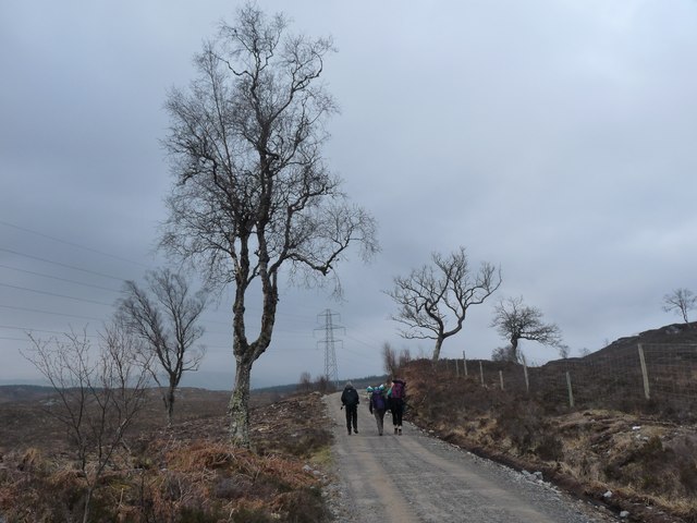
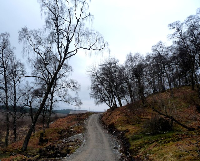
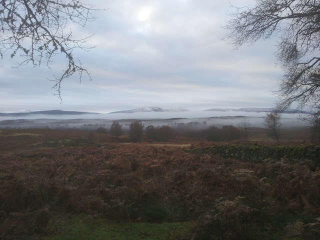
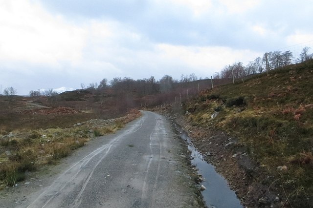
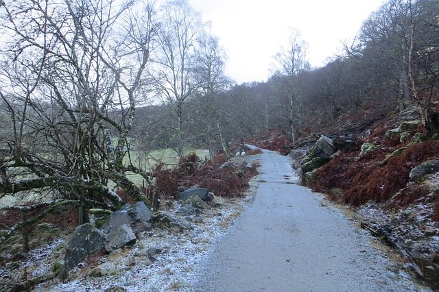
Doire nan Duilleag, located in Inverness-shire, Scotland, is a picturesque woodland area known for its dense and diverse forest cover. Spanning over a vast area, this enchanting wood is a haven for nature lovers and outdoor enthusiasts. The name Doire nan Duilleag translates to "Wood of the Leaves" in Gaelic, aptly describing the abundance of lush foliage found here.
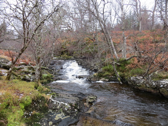
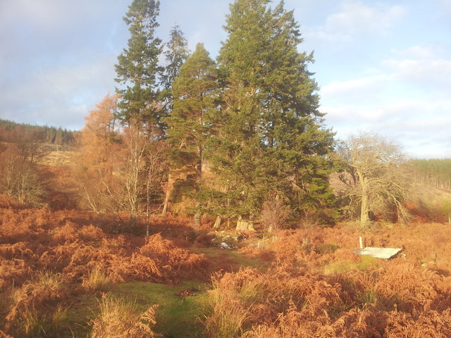
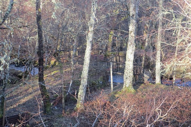
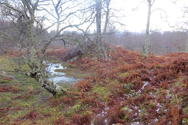
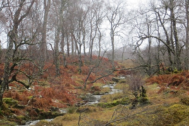
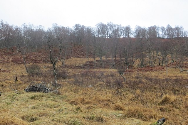
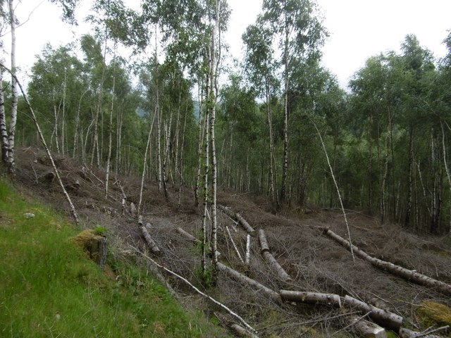
The forest is primarily composed of native tree species such as oak, birch, and pine, creating a rich and varied ecosystem. The towering trees provide a canopy that filters sunlight, creating a cool and tranquil atmosphere within the forest. Moss-covered rocks and fallen logs add to the natural beauty of the surroundings, making it a perfect setting for peaceful walks and hikes.
Doire nan Duilleag is also home to a wide array of wildlife. Deer, foxes, and various bird species can often be spotted amidst the trees, while the nearby streams and ponds are inhabited by otters and frogs. The woodland's biodiversity is further enhanced by a diverse range of plant life, including ferns, wildflowers, and mushrooms.
The wood is a popular destination for outdoor activities such as hiking, birdwatching, and photography. Several well-maintained trails wind through the forest, offering visitors the opportunity to explore its hidden corners and discover its natural wonders. The quiet and secluded atmosphere of Doire nan Duilleag makes it a serene retreat for those seeking solace in nature.
Overall, Doire nan Duilleag stands as a testament to the beauty and tranquility of Scotland's natural landscapes, inviting visitors to immerse themselves in its lush greenery and explore the wonders of this enchanting woodland.
If you have any feedback on the listing, please let us know in the comments section below.
Doire nan Duilleag Images
Images are sourced within 2km of 57.108687/-4.7799432 or Grid Reference NH3105. Thanks to Geograph Open Source API. All images are credited.
Doire nan Duilleag is located at Grid Ref: NH3105 (Lat: 57.108687, Lng: -4.7799432)
Unitary Authority: Highland
Police Authority: Highlands and Islands
What 3 Words
///offhand.fruitcake.dreaming. Near Gairlochy, Highland
Nearby Locations
Related Wikis

Caledonian Canal
The Caledonian Canal connects the Scottish east coast at Inverness with the west coast at Corpach near Fort William in Scotland. The canal was constructed...
Bridge of Oich
The Bridge of Oich (also known as Victoria Bridge, Aberchalder) is a taper principle suspension bridge, designed by James Dredge, across the River Oich...

Loch Lundie
Loch Lundie is a small, lowland freshwater loch in Glen Garry, about 1.5 miles (2.4 km) north-west of Invergarry in the Scottish Highlands. The loch is...

Aberchalder railway station
Aberchalder railway station served the village of Aberchalder, in the county of Inverness-shire in Scotland. == History == It was opened by the Highland...
Nearby Amenities
Located within 500m of 57.108687,-4.7799432Have you been to Doire nan Duilleag?
Leave your review of Doire nan Duilleag below (or comments, questions and feedback).