Coille Dhorch
Wood, Forest in Cromartyshire
Scotland
Coille Dhorch
The requested URL returned error: 429 Too Many Requests
If you have any feedback on the listing, please let us know in the comments section below.
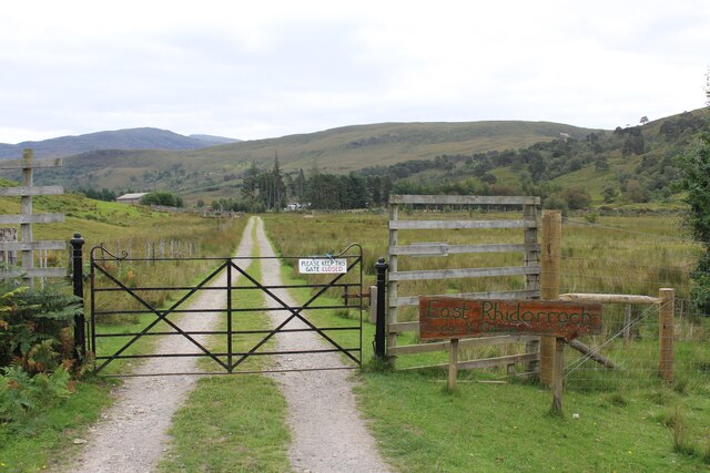
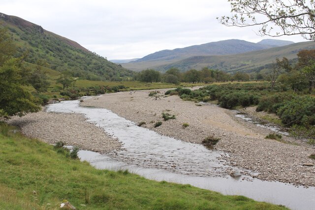
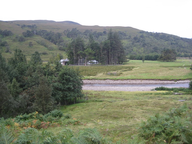
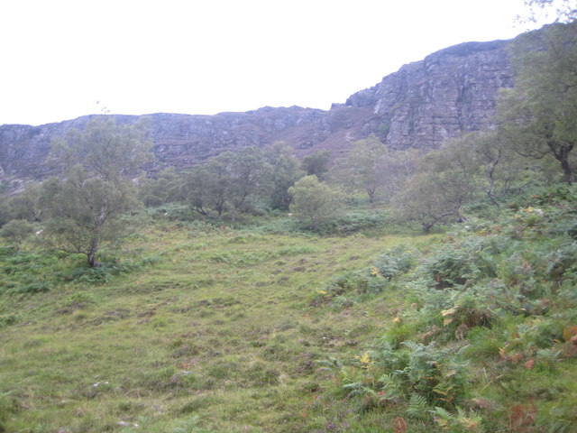
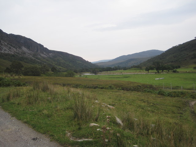
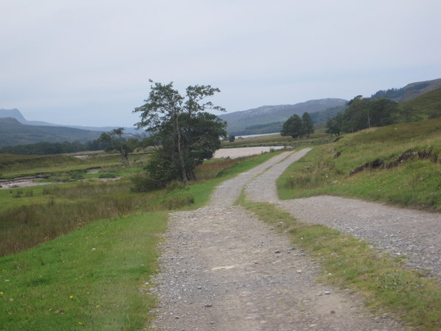
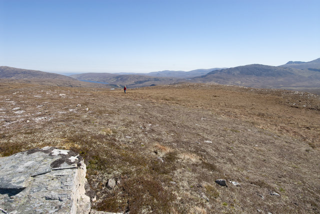
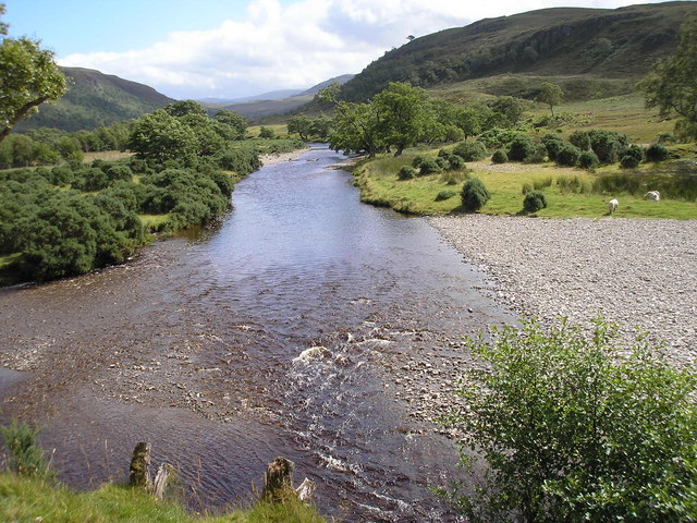
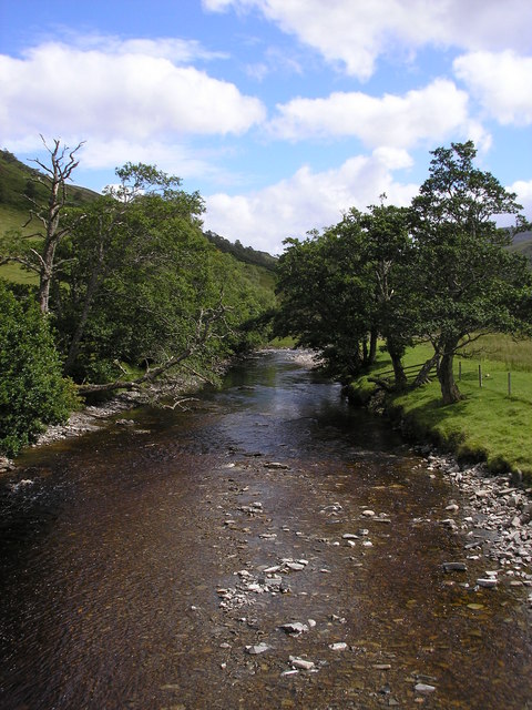
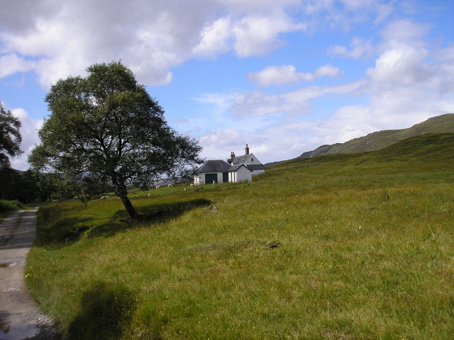
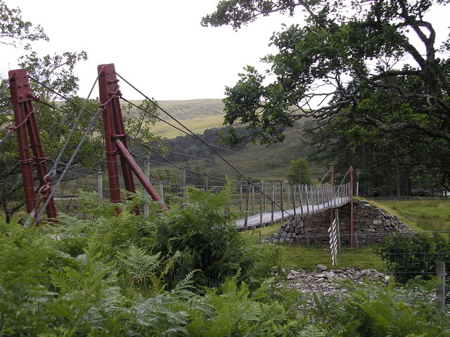
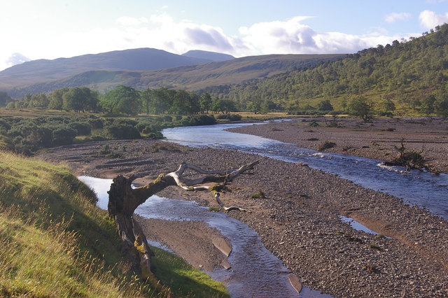
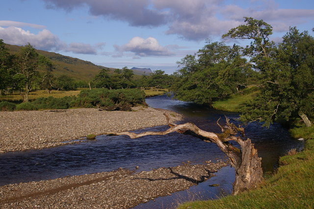
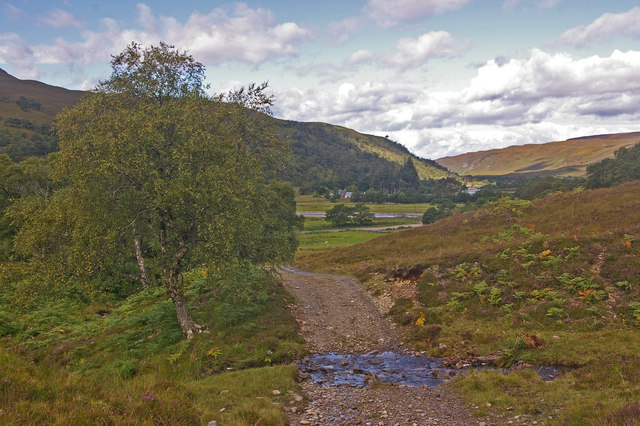
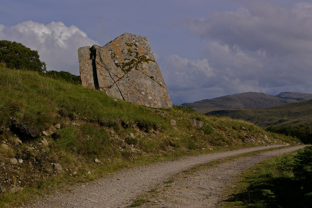
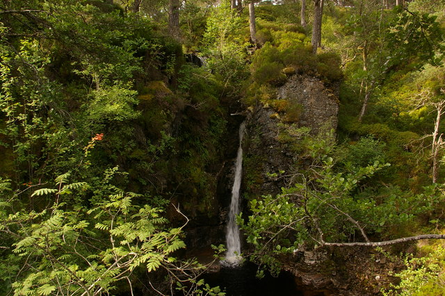
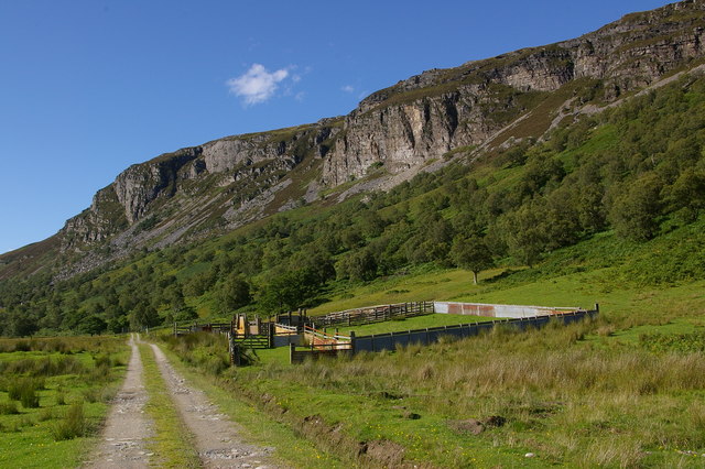
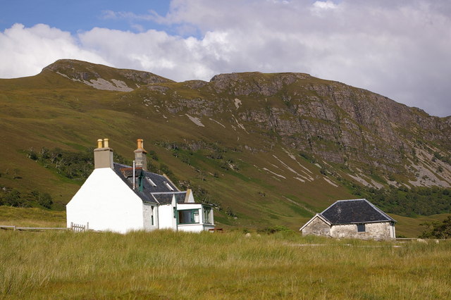
Coille Dhorch Images
Images are sourced within 2km of 57.902873/-4.9853609 or Grid Reference NH2394. Thanks to Geograph Open Source API. All images are credited.
Coille Dhorch is located at Grid Ref: NH2394 (Lat: 57.902873, Lng: -4.9853609)
Unitary Authority: Highland
Police Authority: Highlands and Islands
What 3 Words
///sourced.branded.tolerates. Near Ullapool, Highland
Nearby Locations
Related Wikis

Rhidorroch
Rhidorroch (Scottish Gaelic: An Ruigh Dhorcha) is a deer forest east of Ullapool, Ross-shire, Scotland, centred on the extended catchment of the Ullapool...

Beinn Eilideach
Beinn Eilideach (mountain of hinds) is a mountain near Ullapool in Ross-shire in the Scottish Highlands. It is 559 metres high, and listed as a Marilyn...

Battle of Leckmelm
The Battle of Leckmelm was a Scottish clan battle that took place in 1586, in the Scottish Highlands. It was fought between the Clan Gunn against the Clan...
Leckmelm
Leckmelm (Scottish Gaelic: Leac Mailm) is a small settlement on the eastern shore of Loch Broom, in Wester Ross in the Highland council area of Scotland...
Have you been to Coille Dhorch?
Leave your review of Coille Dhorch below (or comments, questions and feedback).