Merkland Wood
Wood, Forest in Buteshire
Scotland
Merkland Wood
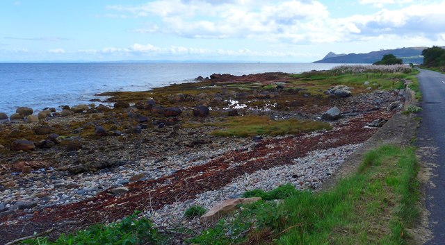
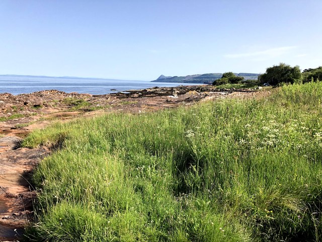
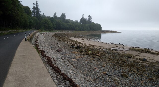
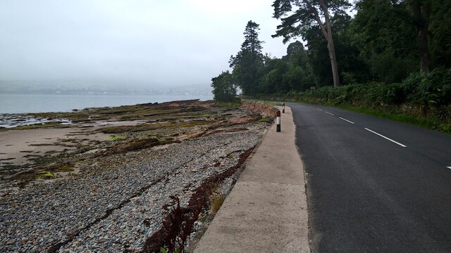
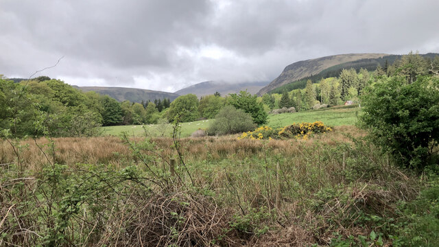
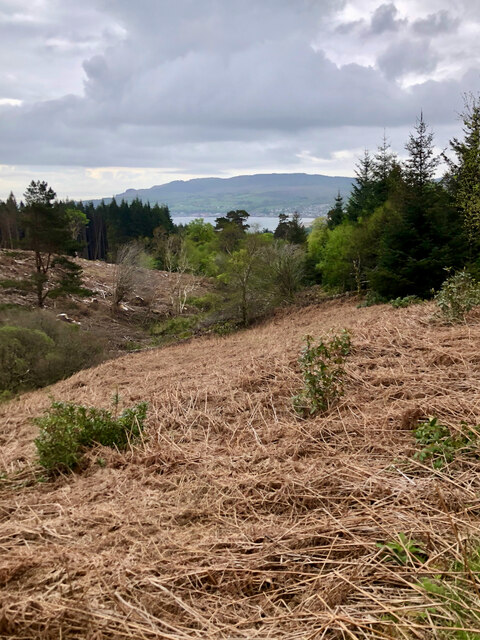
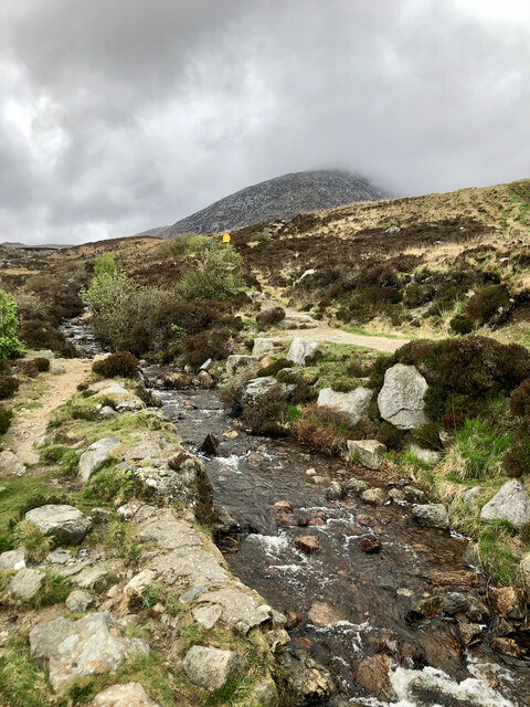
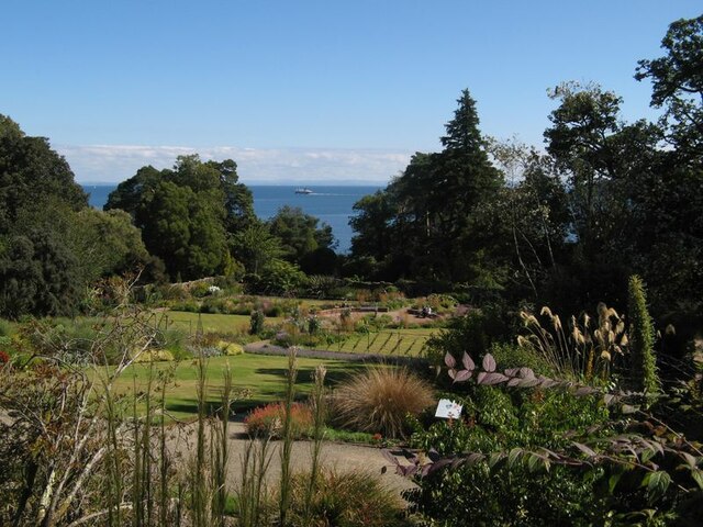
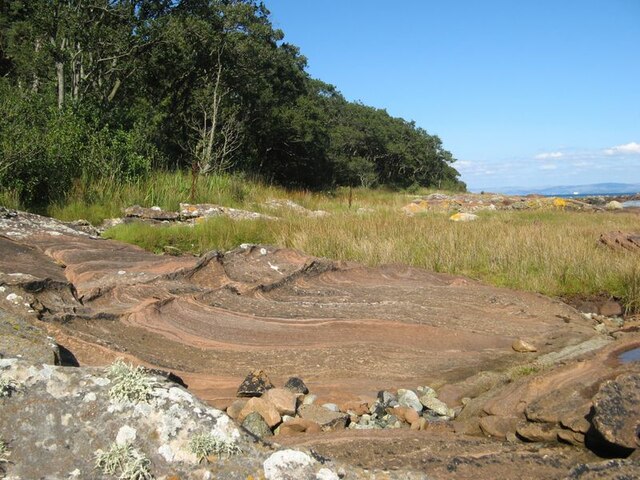
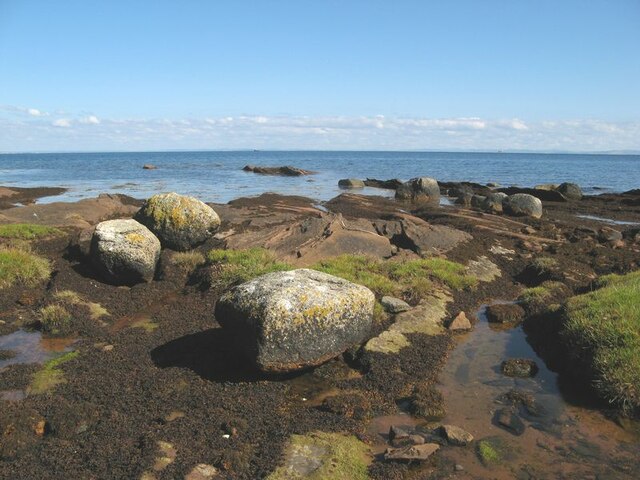
Merkland Wood, located in the scenic region of Buteshire, is a captivating forest that spans over a vast area of lush greenery. Nestled amidst the picturesque landscape, this wood holds a significant ecological and historical value. Covering an expansive area of approximately 500 acres, it is home to an assortment of native trees, plants, and wildlife species, making it a thriving habitat for biodiversity.
The wood boasts a diverse range of tree species, including oak, birch, beech, and Scots pine. These majestic trees, towering over visitors, provide a serene and tranquil atmosphere. The forest floor is adorned with a rich tapestry of wildflowers, ferns, and mosses, creating a vibrant and enchanting ambiance.
A network of well-maintained trails meanders through the wood, offering visitors the opportunity to explore its beauty and immerse themselves in nature. These paths cater to a range of activities, from leisurely walks to more adventurous hikes. Along the way, one may encounter a variety of wildlife, such as red squirrels, deer, foxes, and an assortment of bird species.
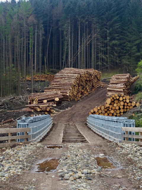
Steeped in history, Merkland Wood has witnessed the passing of time and has tales to tell. It has been a cherished resource for the local community for centuries, providing timber for construction and fuel. Additionally, remnants of ancient settlements and burial sites can be found within the wood, serving as a testament to its historical significance.
Merkland Wood offers a captivating experience for nature enthusiasts, history buffs, and those seeking solace in the beauty of the natural world. Its tranquil ambiance, diverse ecosystem, and rich historical heritage make it a must-visit destination in Buteshire.
If you have any feedback on the listing, please let us know in the comments section below.
Merkland Wood Images
Images are sourced within 2km of 55.601046/-5.1491737 or Grid Reference NS0138. Thanks to Geograph Open Source API. All images are credited.
Merkland Wood is located at Grid Ref: NS0138 (Lat: 55.601046, Lng: -5.1491737)
Unitary Authority: North Ayrshire
Police Authority: Ayrshire
What 3 Words
///reserves.value.reissued. Near Brodick, North Ayrshire
Nearby Locations
Related Wikis

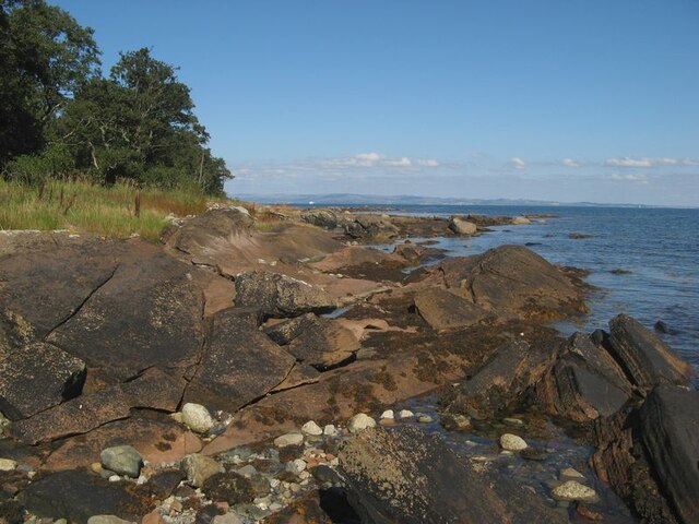
Cladach
Note: Cladach is a general Scottish Gaelic word for "beach" or "shore" and occurs in many Scottish placenames Cladach (Scottish Gaelic: An Cladach) is...

Arran Hydro-Electric Schemes
There are several hydro-electric schemes on the Isle of Arran, an island in the Firth of Clyde, Scotland. Most of them were installed during the early...

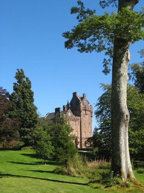
Home Farm, Brodick
Home Farm was the estate farm for Brodick Castle. It now houses a series of tourist enterprises including a cheese shop and Arran Aromatics. This was the...

Brodick
Brodick ( BROD-ik, Scottish Gaelic: Tràigh a' Chaisteil ("Castle Beach") or Breadhaig) is the main village on the Isle of Arran, in the Firth of Clyde...

Strathwhillan
Strathwhillan (Scottish Gaelic: Srath Chuilinn) is a tiny community on the Isle of Arran in the Firth of Clyde, Scotland. It is really a suburb of the...

Glen Rosa
Glen Rosa (Scottish Gaelic: Gleann Ruasaidh) is a glen near Goat Fell on the Isle of Arran in the Firth of Clyde, western Scotland. Glen Rosa can be reached...

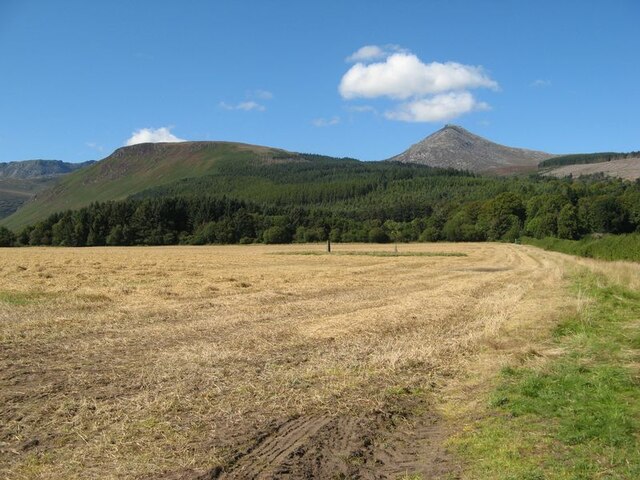
Goat Fell
Goat Fell (Scottish Gaelic: Gaoitbheinn) is the highest point on the Isle of Arran. At 874 metres (2,867 ft), it is one of four Corbetts on the island...

Corrie, Arran
Corrie (Scottish Gaelic: An Coire) is a village on the north east coast of the Isle of Arran in Scotland, 6 miles (10 kilometres) north of Brodick. It...
Related Videos

Walking through Brodick Castle Grounds Ambient Stereo Sound 4k
Filmed on my iPhone 13 Pro Max after coming down Goatfell. The sounds were so nice I thought I'd try recording it.
![Solo Hiking on Arran [ASMR] No Music](https://i.ytimg.com/vi/NnH60eEni1w/hqdefault.jpg)
Solo Hiking on Arran [ASMR] No Music
A hike up one of Arran's mountains in November. I saw my first BROCKEN SPECTRE at the top! This mountain is one of my ...


Glen Rosa Walk on Isle of Arran
This is our first full day in Scotland and we were surprised and delighted to have a warm, sunny day. Our walk starts in town, goes ...
Nearby Amenities
Located within 500m of 55.601046,-5.1491737Have you been to Merkland Wood?
Leave your review of Merkland Wood below (or comments, questions and feedback).