Kennel Wood
Wood, Forest in Brecknockshire
Wales
Kennel Wood
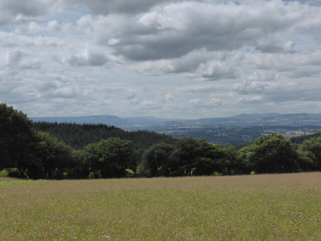
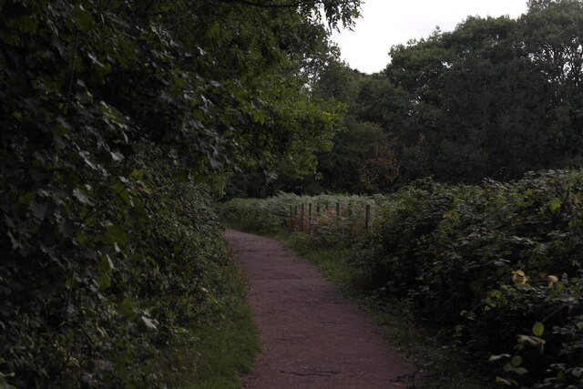
Kennel Wood is a picturesque forest located in the county of Brecknockshire, Wales. Covering an area of approximately 200 acres, this woodland is known for its natural beauty and diverse ecosystem. It is situated near the village of Kennel, which is surrounded by rolling hills and lush green meadows.
The forest is predominantly composed of native broadleaf trees, including oak, beech, and ash, which provide a dense canopy and create a serene atmosphere. These trees also support a variety of wildlife, making Kennel Wood a haven for nature enthusiasts and birdwatchers alike. Bird species such as woodpeckers, owls, and various songbirds can often be spotted among the branches.
The woodland is crisscrossed by a network of well-maintained walking paths, allowing visitors to explore the area while enjoying the tranquility and fresh air. These trails vary in difficulty, accommodating both casual strollers and more experienced hikers. Moreover, the forest offers several designated picnic areas and viewpoints, providing the perfect spots to relax and appreciate the stunning surroundings.
Kennel Wood is also renowned for its vibrant seasonal displays. In spring, the forest floor is carpeted with bluebells and wildflowers, creating a breathtaking sight. During autumn, the foliage bursts into a symphony of reds, oranges, and yellows, attracting visitors from far and wide.
Managed by the local authorities, Kennel Wood is a cherished natural gem that offers a peaceful retreat from the hustle and bustle of everyday life. Its accessibility, ecological significance, and scenic beauty make it a beloved destination for locals and tourists seeking a connection with nature.
If you have any feedback on the listing, please let us know in the comments section below.
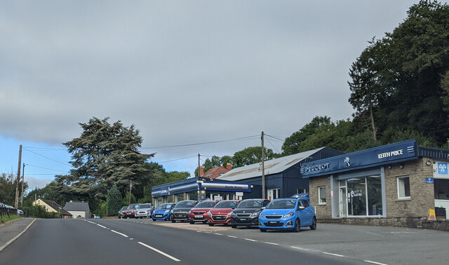
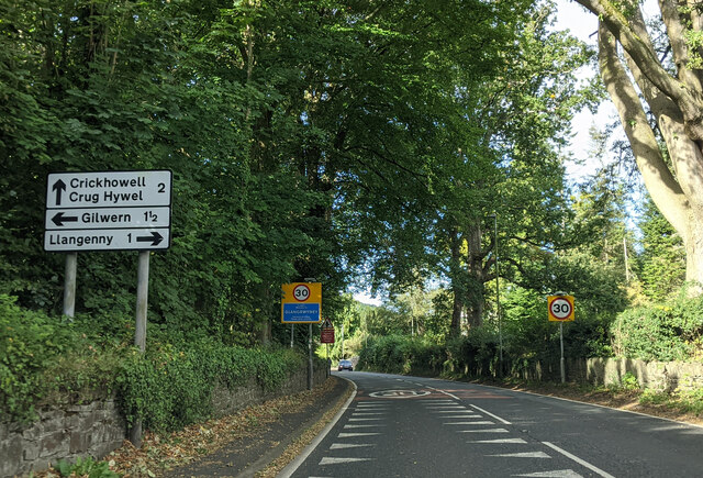
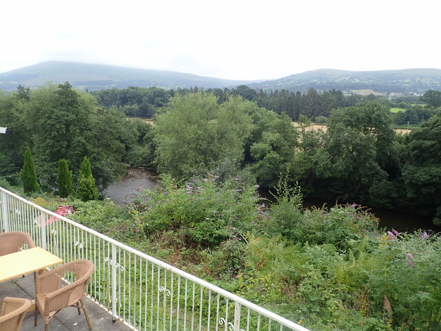
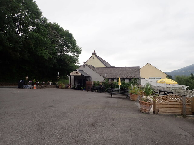
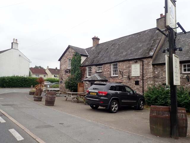
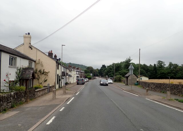
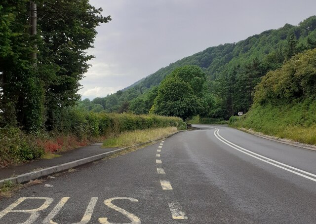
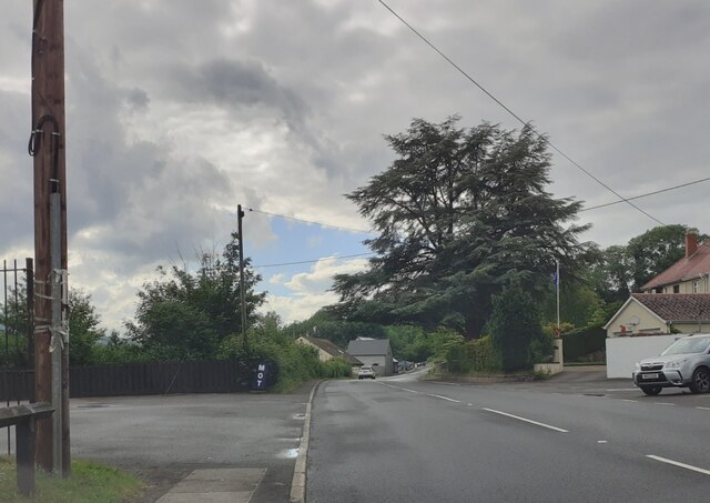
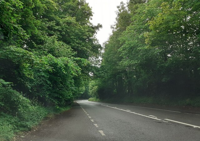
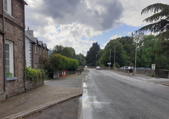
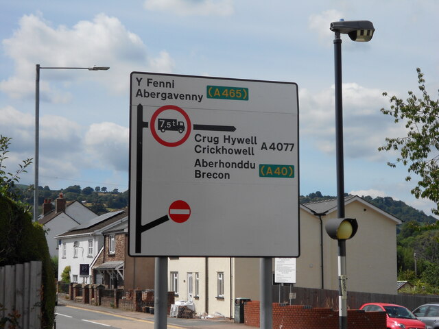
Kennel Wood Images
Images are sourced within 2km of 51.833914/-3.0913776 or Grid Reference SO2415. Thanks to Geograph Open Source API. All images are credited.

Kennel Wood is located at Grid Ref: SO2415 (Lat: 51.833914, Lng: -3.0913776)
Unitary Authority: Monmouthshire
Police Authority: Gwent
What 3 Words
///curvy.upward.wordplay. Near Gilwern, Monmouthshire
Nearby Locations
Related Wikis

Grwyne Fawr
The Grwyne Fawr is a river in the Brecon Beacons National Park in south Wales. A section of it forms the administrative border between Powys and Monmouthshire...

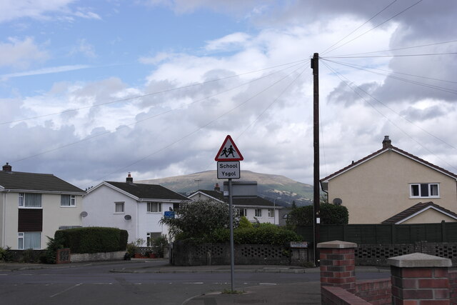
Gilwern
Gilwern is a village within the Brecon Beacons National Park in Monmouthshire, Wales. Historically in Brecknockshire, it extends to either side of the...

Y Graig
Y Graig, three miles west of Abergavenny, is the site of an abandoned settlement, known to have been occupied in the 18th and 19th centuries. It is a scheduled...
Glangrwyney
Glangrwyney or Glangrwyne is a village 2 miles (3.2 km) southeast of Crickhowell in Powys, Wales. The village is where the Grwyne Fawr has its confluence...
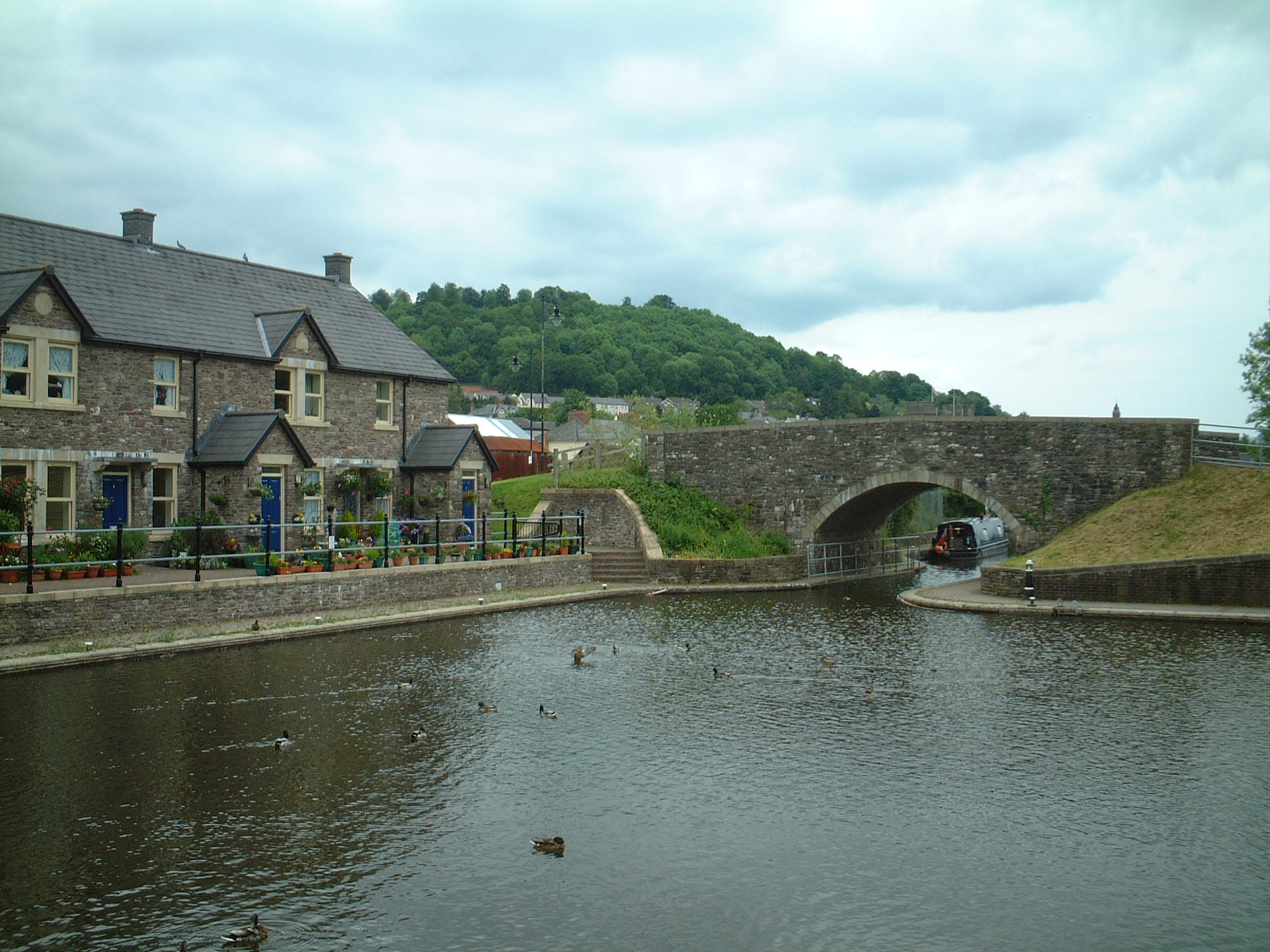
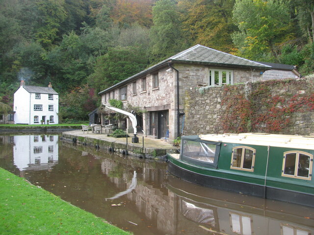
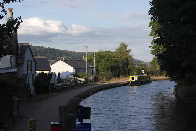
Monmouthshire and Brecon Canal
The Monmouthshire and Brecon Canal (Welsh: Camlas Sir Fynwy a Brycheiniog) is a small network of canals in South Wales. For most of its currently (2018...

Gilwern Halt railway station
Gilwern Halt railway station was a station on the London and North Western Railway's Heads of the Valleys line near the village of Gilwern in the Welsh...

St Elli's Church, Llanelly
The Church of St Elli, Llanelly, Monmouthshire, Wales, is a parish church with its origins in the 14th century. The church underwent three major restorations...
Llanelly
Llanelly (Welsh: Llanelli) is the name of a parish and coterminous community in the principal area of Monmouthshire, within the historic boundaries of...
Nearby Amenities
Located within 500m of 51.833914,-3.0913776Have you been to Kennel Wood?
Leave your review of Kennel Wood below (or comments, questions and feedback).