Coed Bryn-gelli
Wood, Forest in Flintshire
Wales
Coed Bryn-gelli
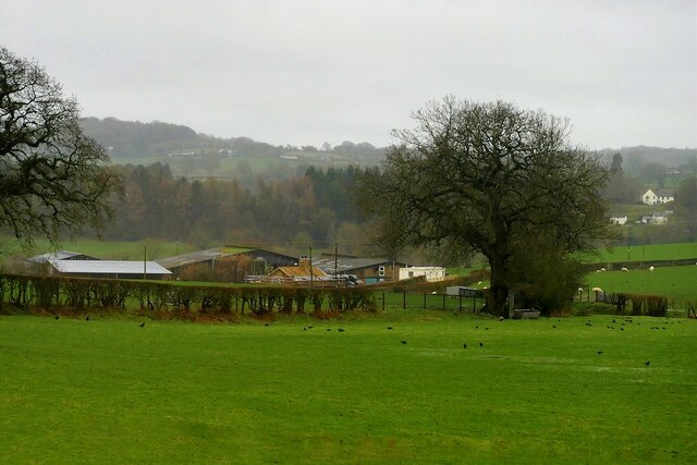
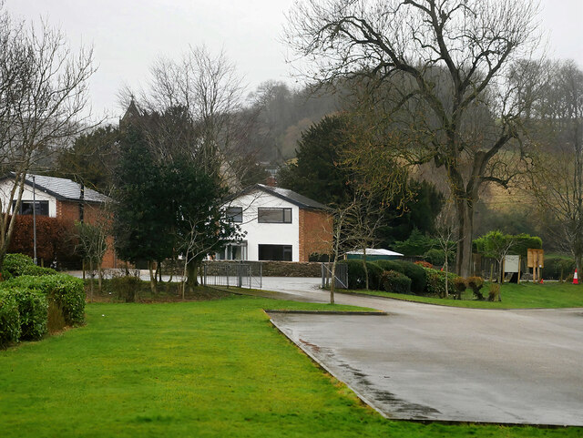
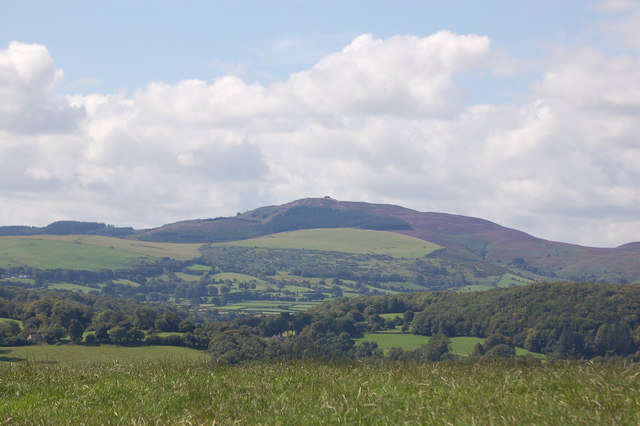
Coed Bryn-gelli, located in Flintshire, Wales, is a picturesque woodland area that spans approximately 200 acres. The name "Bryn-gelli" translates to "wooded hill," perfectly describing this stunning natural landscape. The woodland is situated near the village of Brynford, just a few miles away from the town of Holywell.
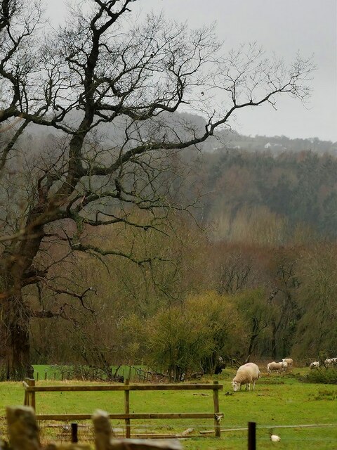
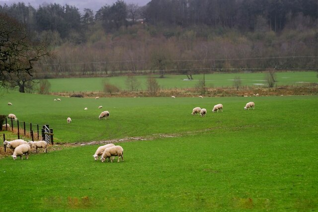
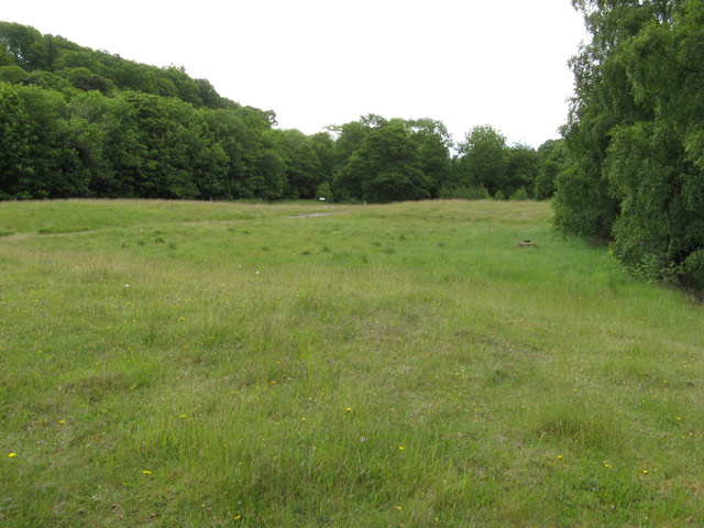
Coed Bryn-gelli is characterized by its rich biodiversity, boasting a diverse range of tree species including oak, beech, birch, and rowan. The woodland's dense canopy provides a haven for various wildlife, such as red squirrels, badgers, and a variety of bird species, making it a popular spot for nature enthusiasts and birdwatchers.
The woodland offers a tranquil environment for visitors to explore and enjoy the beauty of nature. There are well-maintained footpaths and trails that wind through the woods, allowing visitors to immerse themselves in the peaceful surroundings. The forest floor is carpeted with bluebells in the spring, creating a breathtaking sight.
Coed Bryn-gelli is also home to an abundance of wildflowers, adding bursts of color to the landscape. The woodland is a designated site of special scientific interest (SSSI), recognizing its importance in terms of conservation and preservation of rare plant species and habitats.
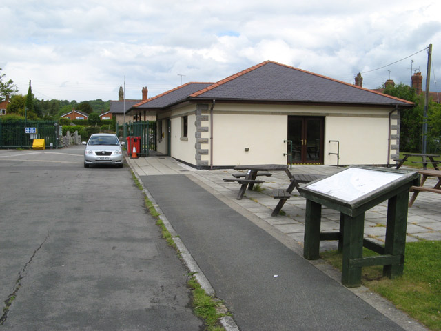
The woodland is easily accessible to the public, with car parking facilities available nearby. It provides an excellent opportunity for individuals and families to reconnect with nature, offering a peaceful retreat away from the hustle and bustle of everyday life. Coed Bryn-gelli is truly a hidden gem in Flintshire, providing a haven for both wildlife and those who seek solace in nature.
If you have any feedback on the listing, please let us know in the comments section below.
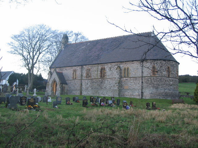
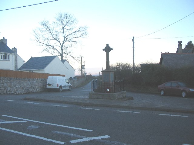
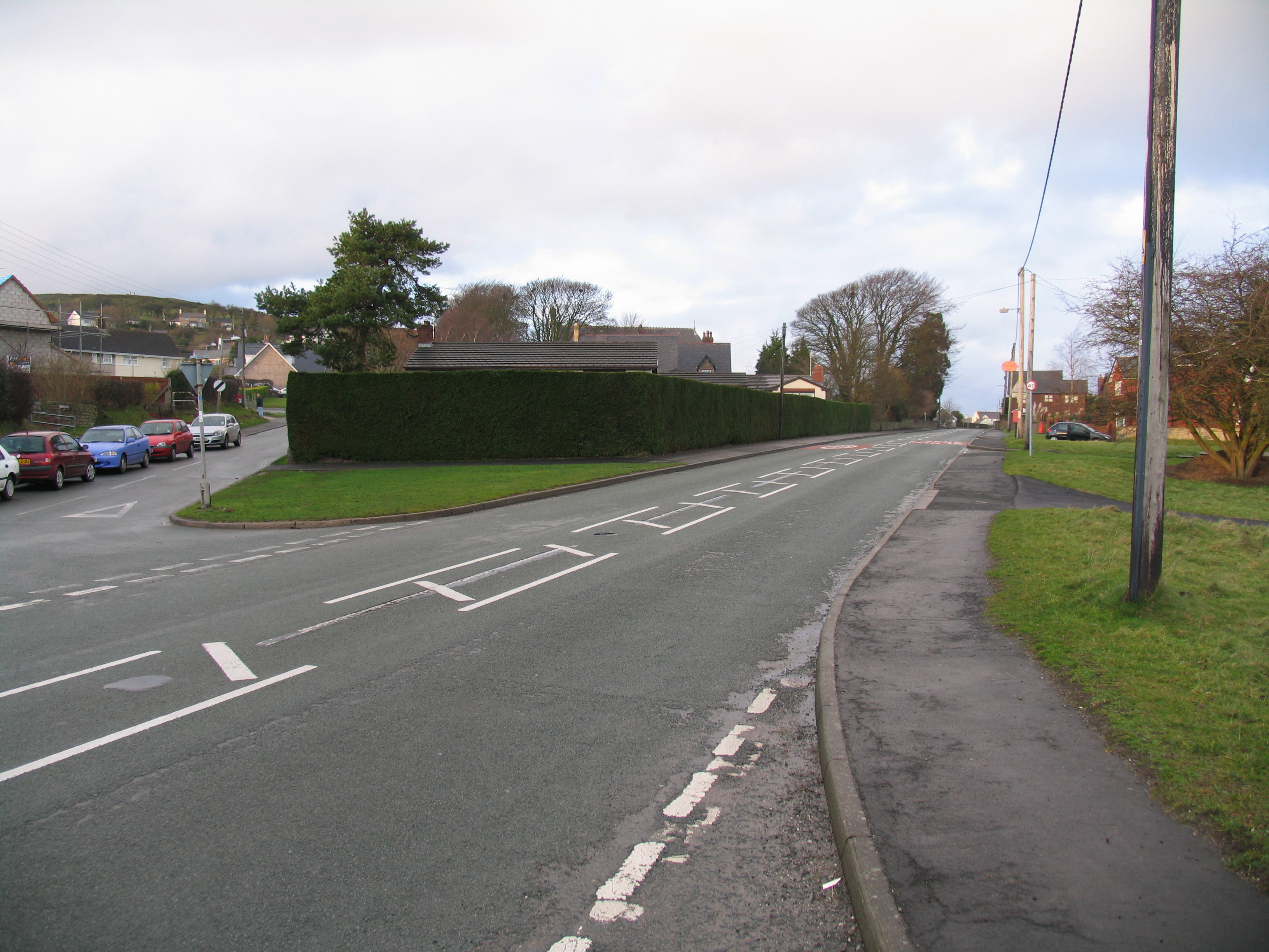
Coed Bryn-gelli Images
Images are sourced within 2km of 53.194319/-3.1719966 or Grid Reference SJ2167. Thanks to Geograph Open Source API. All images are credited.
Coed Bryn-gelli is located at Grid Ref: SJ2167 (Lat: 53.194319, Lng: -3.1719966)
Unitary Authority: Flintshire
Police Authority: North Wales
What 3 Words
///flinch.scope.escalates. Near Northop, Flintshire
Nearby Locations
Related Wikis

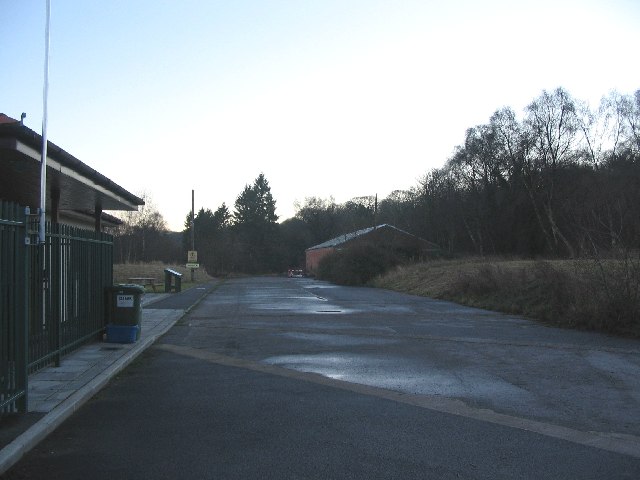
Rhydymwyn railway station
Rhydymwyn railway station was a station in Rhydymwyn, Flintshire, Wales. The station was opened on 6 September 1869, closed to passengers on 30 April 1962...

Rhydymwyn F.C.
Rhydymwyn F.C. is a football club from Rhydymwyn, Wales. They play in the North East Wales Football League in the tier five Championship Division. Their...
Rhosesmor
Rhosesmor is a small village near Mold, Flintshire, in north-east Wales. The village lies near the parishes of Halkyn and Rhes-y-cae. The hamlet of Wern...
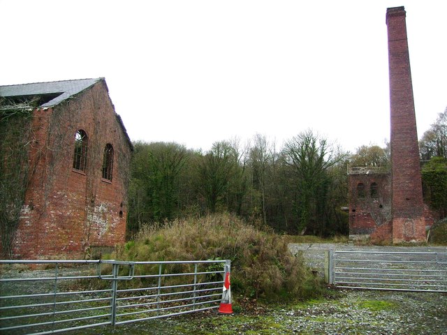
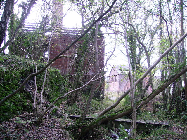
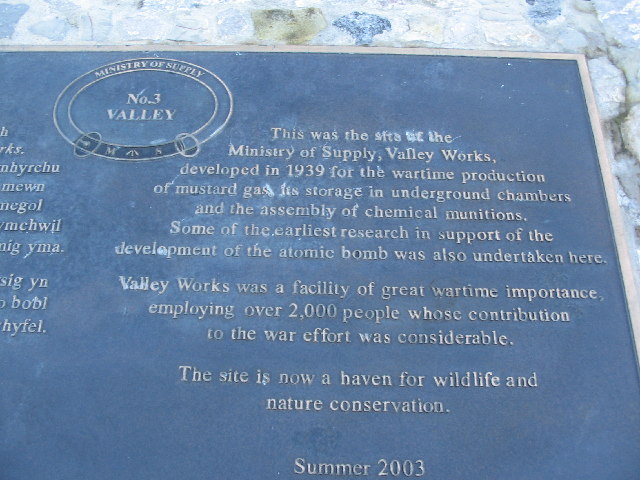
M. S. Factory, Valley
The M.S. (Ministry of Supply) Factory, Valley was a Second World War site in Rhydymwyn, Flintshire, Wales, that was used for the storage and production...
Nearby Amenities
Located within 500m of 53.194319,-3.1719966Have you been to Coed Bryn-gelli?
Leave your review of Coed Bryn-gelli below (or comments, questions and feedback).